Ring from the Faiallo Pass


Edited by:
Maurizio Loconti
Updated at: 15/05/2026
Access
You exit at the Masone exit of the Voltri A26 motorway, turning immediately right until you reach the Turchino pass. Here, after the tunnel, turn right again towards the Faiallo pass, about ten kilometres away, where you can park.
Introduction
For huts and shelters between the province of Savona and Genoa, in the Beigua Park.
Description
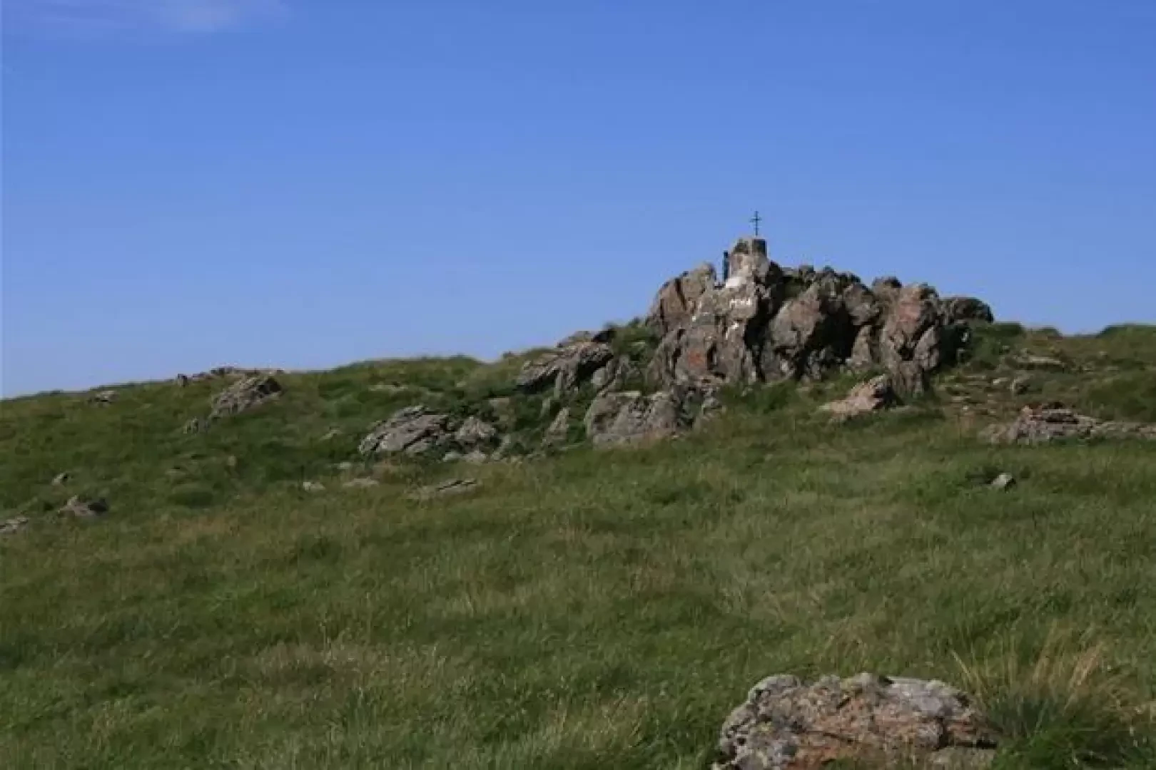
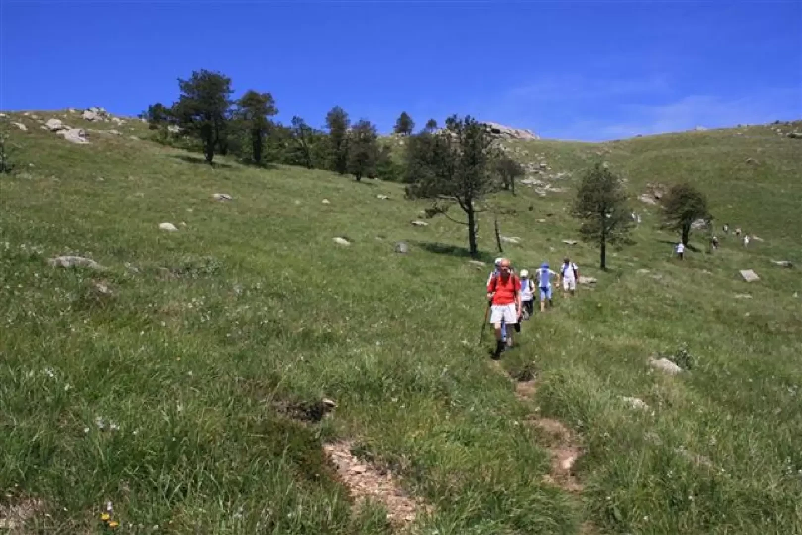
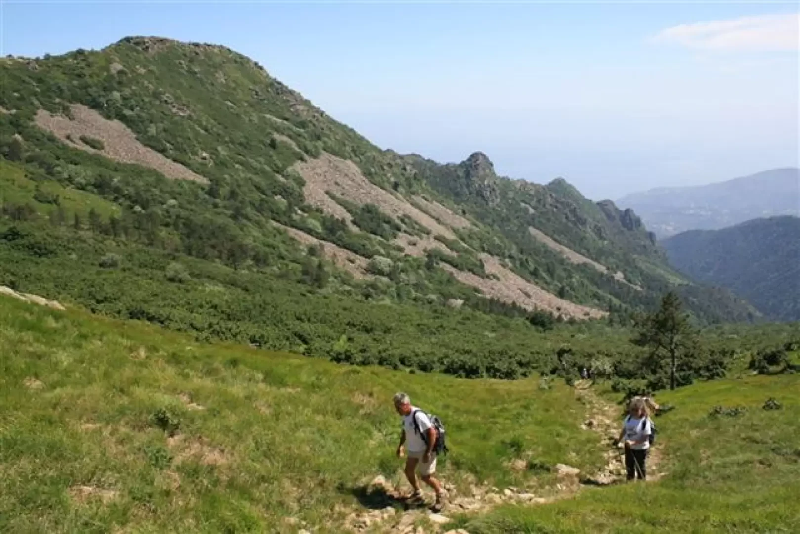
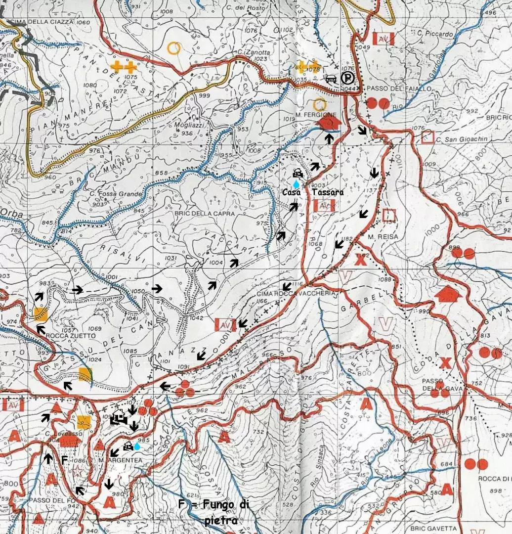
From the road, follow the AV and the two blue dots and then, almost immediately ignoring the AV, the Fie symbols, which go up from the Passo Gava, to the summit of Reixa 1183 m. Afterwards, we recommend the variant to the Vaccaria peak (more interesting, as a panorama, than the previous Monte Reixa), garrisoned by a madonnina.
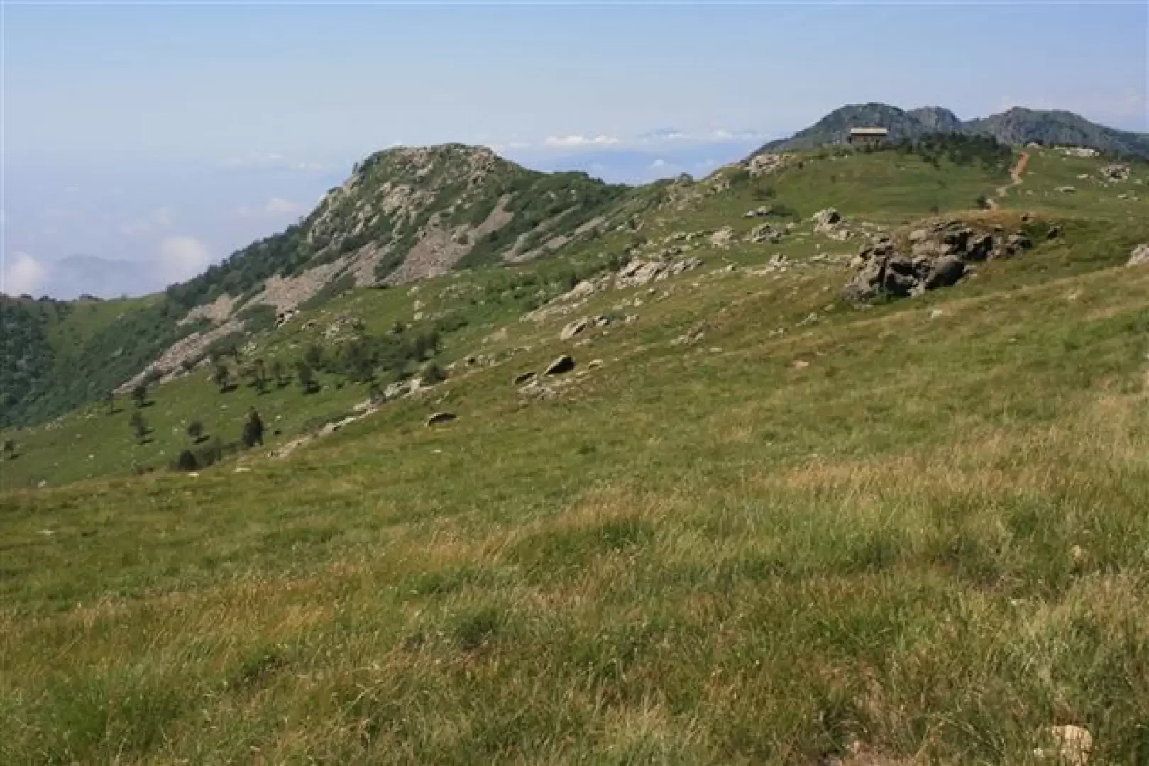
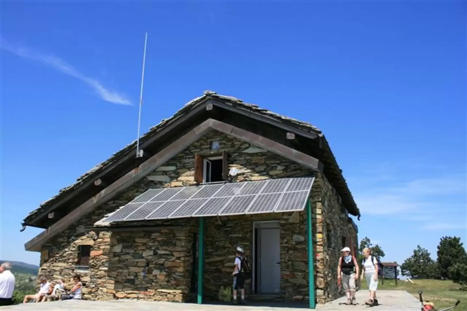
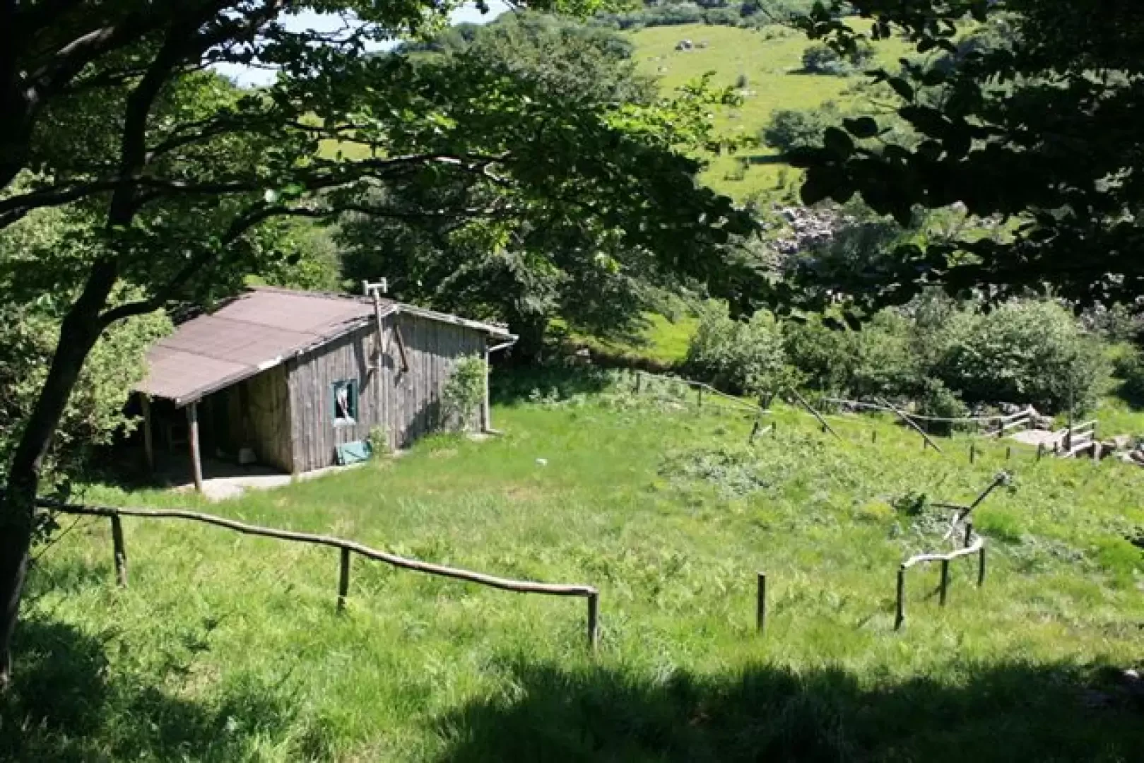
We descend (meeting the AV) and, as a reference point, we have the Argentea refuge, opened for the occasion by the Arenzano Cai, which was waiting for other hikers.
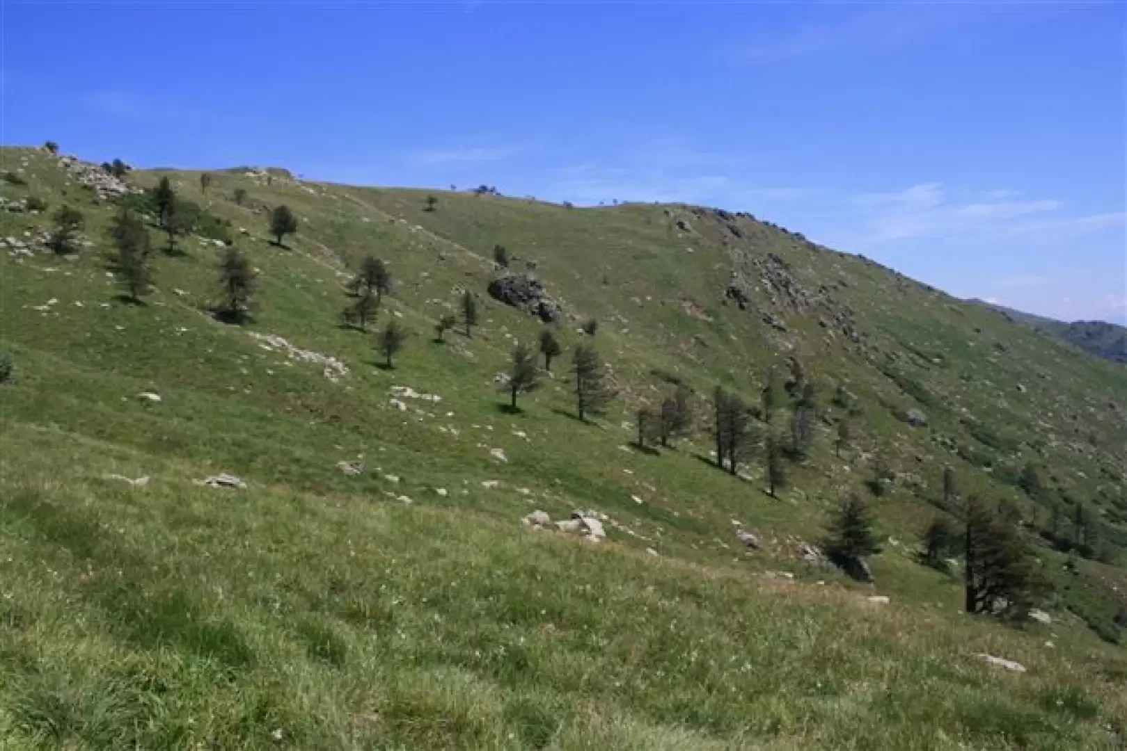
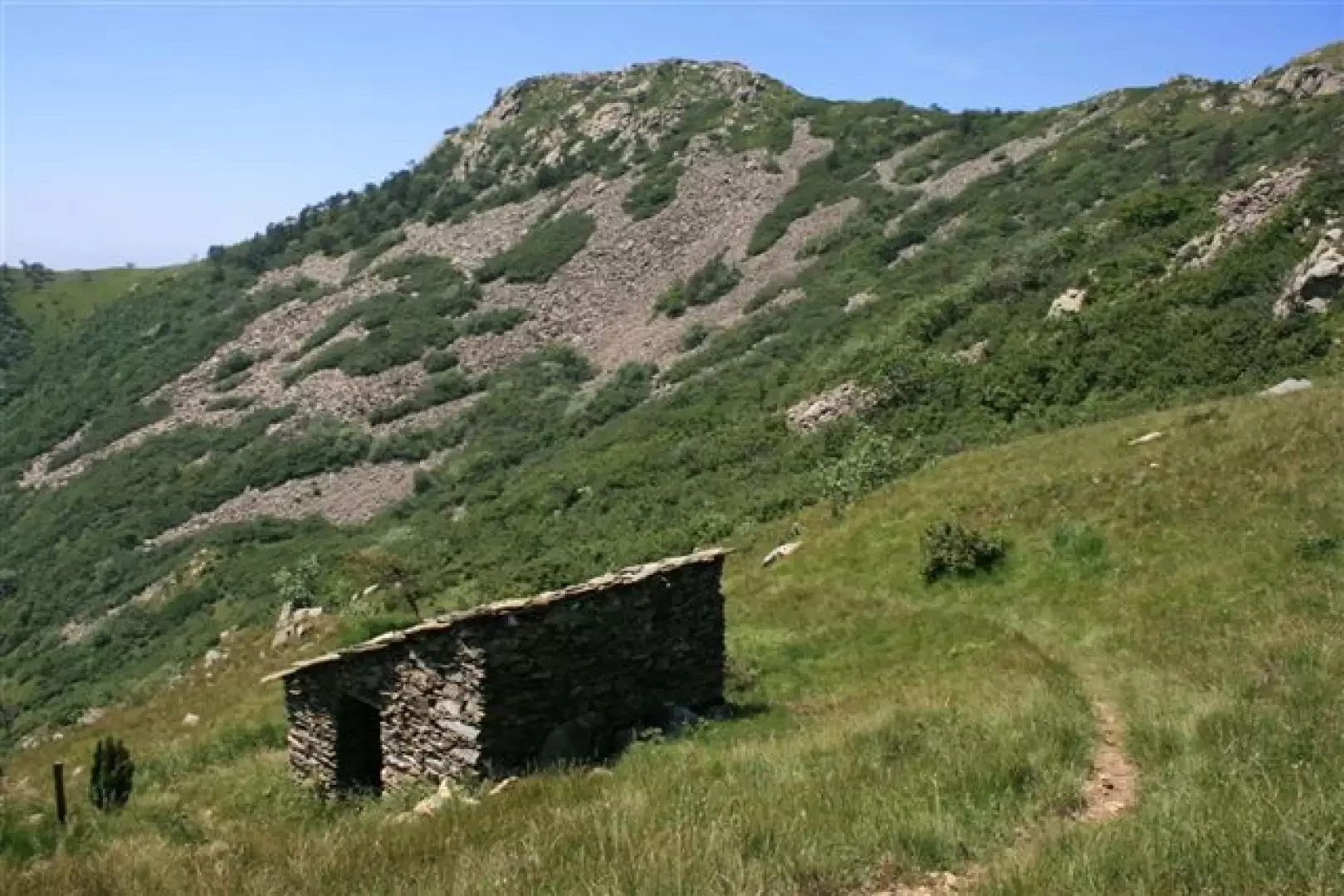
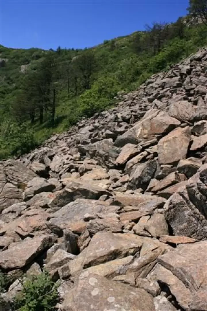
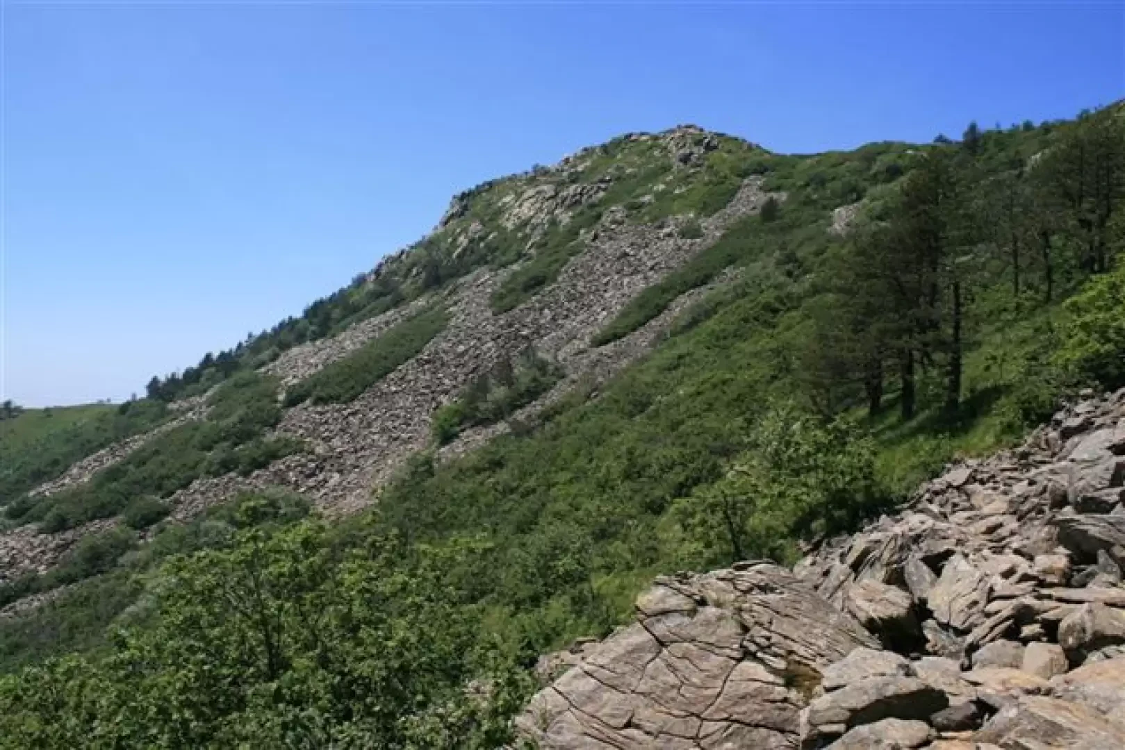
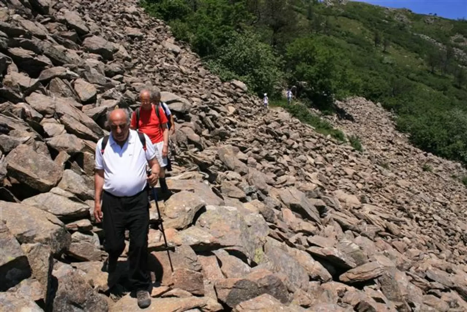
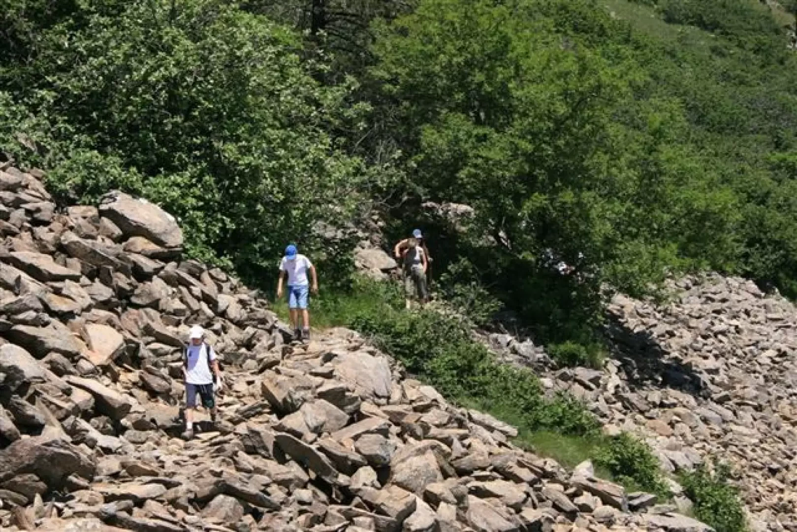
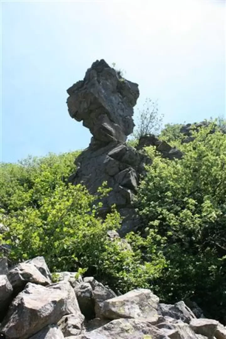
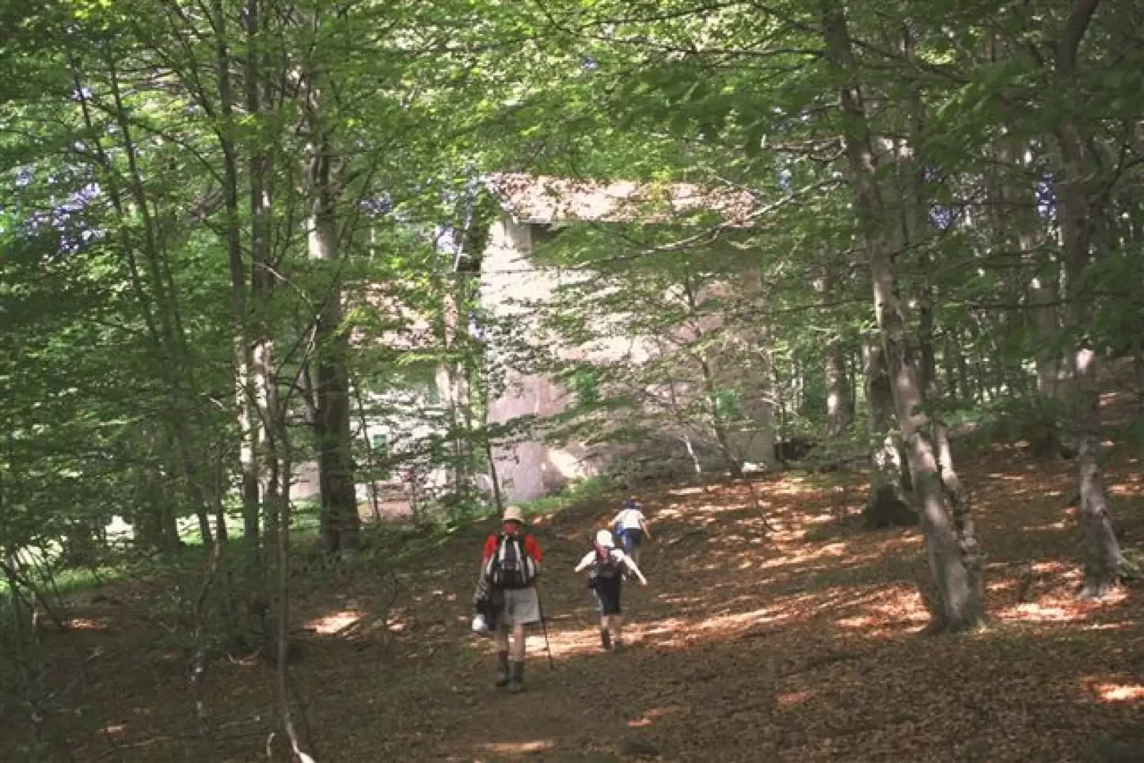
From there, we descend, with the three red dots, to the 'Fascium' shelter (source), here we leave the FIE symbol, to go in the direction of Argentea, on a faint flat track... it was once marked with the three red dots, but, now, there are only a few cairns... Carefully, but without any particular difficulty, we pass the stony ground on the south side of the Argentea. At the end of the stretch, you come out into a meadow (near "Colletassa") and meet some other hikers who, braving the heat (brave!?), have climbed up the "white star"... and are now looking for the way down to "Collain" and "Cu du mundu"... Instead, descend for a few metres and you will first see the "white star", and shortly afterwards, you will find the "A rossa", which you follow to the right (note that it is not very easy to spot if you go backwards...) We cut across the slope, almost level, passing under the enormous stone "mushroom", near the Leveasso Refuge (open, but not managed), which is reached in 5 minutes. After a long lunch break at Leveasso, we ascend (the only place where one can suffer the heat) the ridge (red triangle). After the pass, ignore the various possibilities and descend along the yellow square (very fresh and numerous signs). You pass a mountain hut and cross a dirt road... here you leave the yellow square and climb to the right, continuing (a constant but easy climb) along the main route and, at an obvious fork, in the dense beech wood, go straight ahead (while bending almost 90 degrees to the right, you return to the ridge, in the area of the Argentea refuge). You come to a plateau and then, almost at the end of it, descend to the left, by a little stone cairn, on a narrow track, leaving the wide track. One descends and proceeds almost horizontally to "casa Tassara" (fresh spring!). To return, we continue, without abandoning it, on the newly wide track which moderately gains a few metres in height and comes out just behind the Faiallo hotel restaurant and the large picnic area.
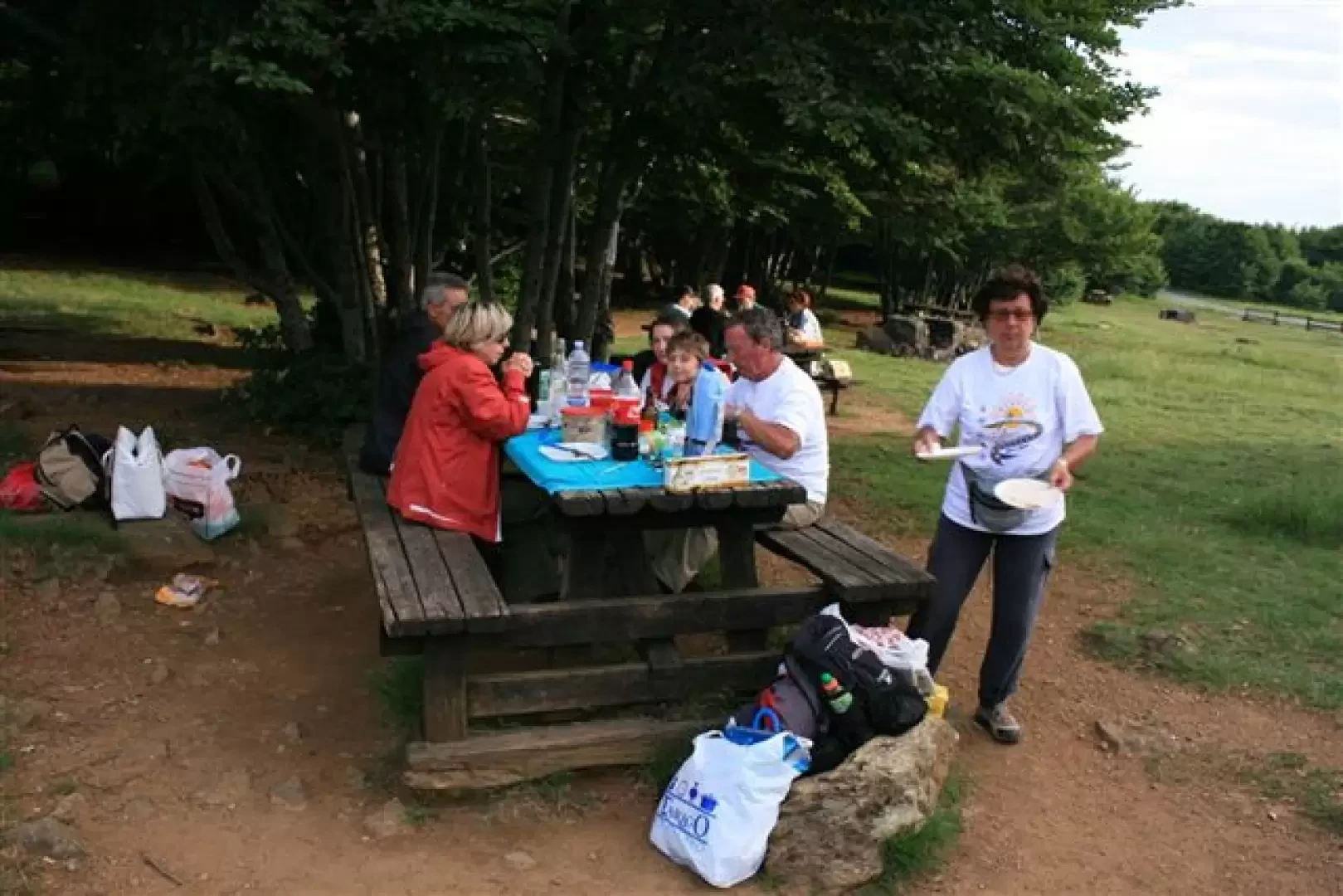
At the finish, for those who have not immediately run home, we have a barbecue (bring your own grills, those present are a little too ruined...), a meal and, for those who are not driving, a drink, with a return trip by car at around 20:30 (here the sun sets and the track is not too steep).30 (here the sun definitely sets, at the beginning of summer, around 20.45).
NB:
If you want some photos at the link
http://www.cralgalliera.altervista.org/faiallo09.pdf
http://www.cralgalliera.altervista.org/anno2009.htm
General information
Trail:
Trail signposts:Fie markers: two red roundels, red hollow square, AVML, three red dots, stone cairns, red A, red solid triangle, yellow square, unmarked gravel path (then partly AV)
Type of route circular
Recommended period: May, June, July, September, October
Sun exposure: south
Objective Danger: -
Exposed Tracts: -
Useful Equipment: normal hiking
Water: yes
Photo gallery

Comments (0)
Sign in to leave a comment