Malga Zanoni Refuge
Access
The journey by car is not long; you exit the A12 at Lavagna and go to Carasco. Then, drive up to Borzonasca, where you turn right at the beginning of the village onto a narrow road to Prato Sopralacroce. From here, continue for 5 km, passing Zanoni, Vallepiana and Belvedere, until the sign indicating Malga di Vallepiana 981 m (about 30 km from the toll station). Park in an open space on the left.
.Introduction
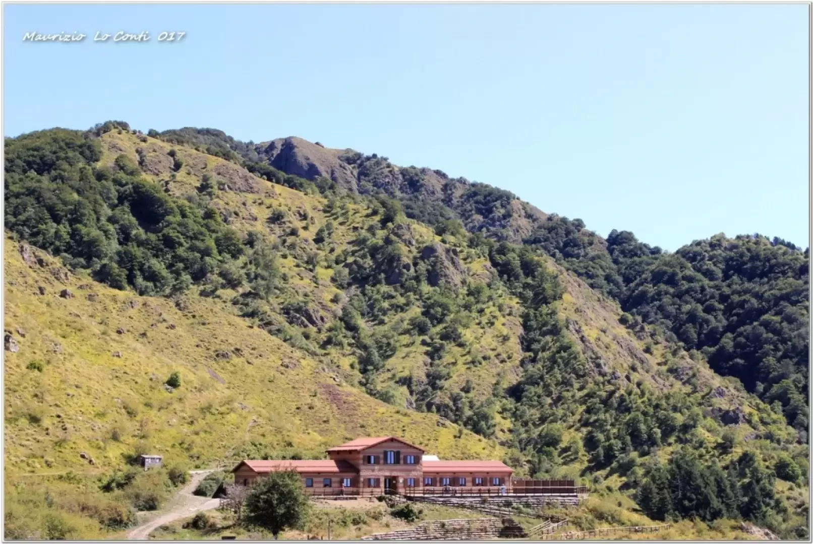
Easy hike (which follows, for a short stretch, the Scaletta loop), but pleasant, leading to a malga restored by the Aveto Park Authority. It is situated in a very scenic spot.
Description
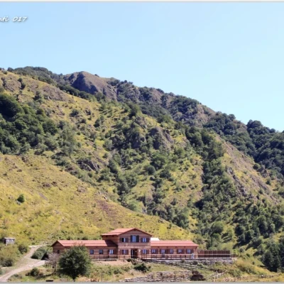
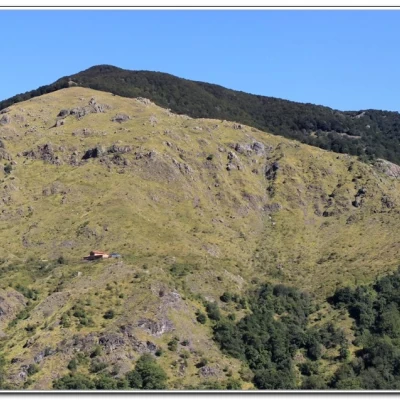
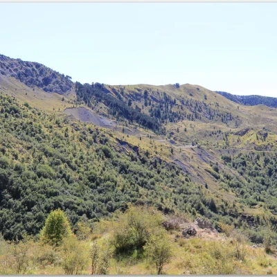
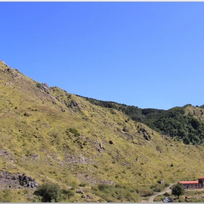
You take a dirt track that ends shortly (view of Malga Zanoni). You turn right onto a path marked by several park signs. In the distance, you can see the Ramaceto ridge and the sea. Still not close by is a waterfall. One observes a water mains pipe that briefly accompanies the track, but then abandons it (further on there are two interruptions that advise against continuing!) to descend to the left. One crosses a rivulet and, continuing to lose metres, crosses a first elementary ford. Climb up the opposite side until you find a new descent, with the sound of the torrent getting louder and louder... You are now at a second ford and, despite the long drought, it is full of water... cross it with minimal difficulty, taking due care (poles are very useful)... You gain a few more metres and the refuge is now close by. The area is full of dog rose plants and the aqueduct track is found again. The structure (1,077 m) is really very nice, with some twenty beds. Better to book if you want to use it... There is also a very large terrace ( Site: https://www.malgazanoni.org/ mail: rifugiozanoni@gmail.com phone: 345 0225175 ). The food is good and fully meets expectations! The return is by the ascent route.
All in all: a very good day, but not hot for the period; disl. 150 mt Dif. T (but watch out for the 2nd ford...) for about 2h Tot. (1h05 And. and Rit. 55') + the breaks to see the various places that we encounter
Photos:
http://cralgalliera.altervista.org/MalgaZanoni017.pdf
http://cralgalliera.altervista.org/altre2017.htm
NB: in the case of an excursion, always check with FIE, Cai, eventual park authority or other institutions, pro loco, etc., that there have been no changes that have increased the difficulties! No liability is accepted. This text is purely indicative and not exhaustive.
Info Hiking Section Cral Galliera: http://www.cralgalliera.altervista.org/esc.htm
trips 2017 at the link: http://www.cralgalliera.altervista.org/gite2017.pdf
General information
Trail signposting: Trails with Aveto Park Authority markings
Type of route: a/r
Recommended period: May, June, July, August, September, October
Exposure to sunshine:
