Quartzine


Edited by:
Maurizio Loconti
Updated at: 07/10/2024
Access
You pass Ormea (34 km from the Ceva tollgate) and turn right for Aimoni and Quarzina, which is reached in 7.7 km .
Where, in the few places available, you leave the first vehicle and with the second you return to the junction with the main road. Turn right and in 4 km you reach Ponte di Nava, where you continue right to Viozene in another 10 km. You park right at the beginning of the village (1245 m). - (two cars required) -
.Introduction
The Ormea Balcony is a trail of about 40 km (from Eca to Viozene), it runs between 1200 and 1500 metres and can be divided into several stages. The project to research and restore the ancient connections of the various hamlets that were built on the southern slope of the valley started in 1999 by the CAI of Ormea and eventually succeeded in connecting 9 hamlets crossing 24 hamlets. Most of them are now only ruins and only a few have renovated houses. Bridges have also been built and kilometres of dry stone walls rediscovered. Along the way, you will also see churches from the 16th and 17th centuries, community ovens, several votive pillars... Having done the extreme east side (around 11km) in 2014 (*), you will now tackle the west side, where the approach with the two cars at the beginning and end of the route is a little more complicated.
Description
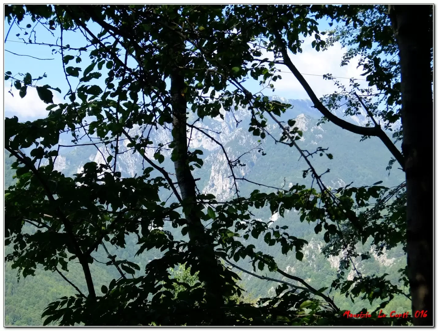
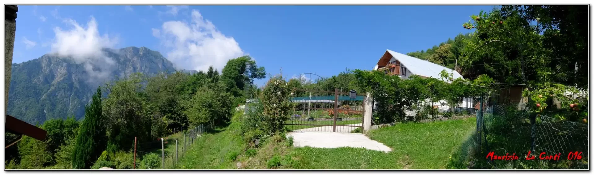
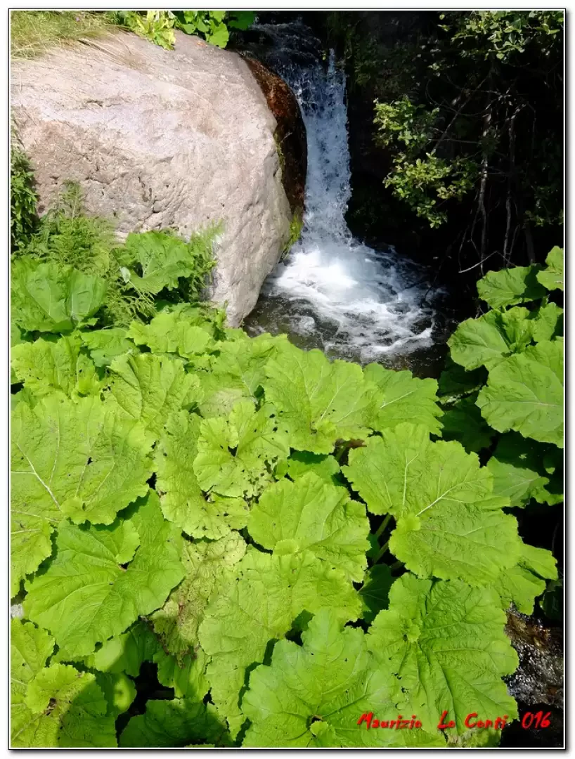
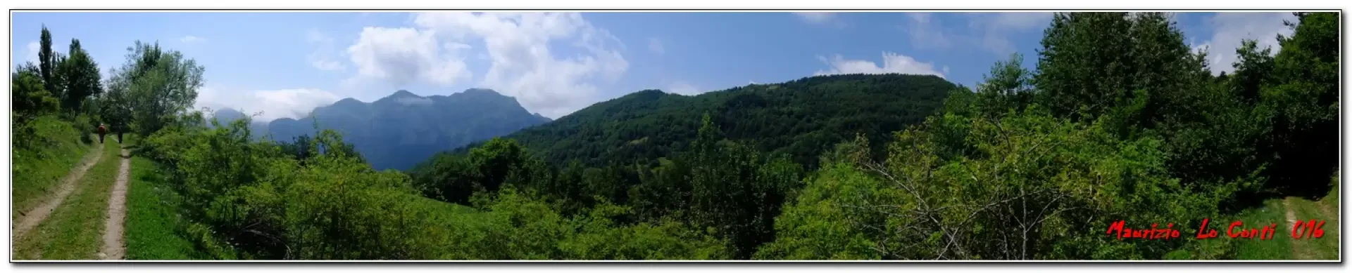
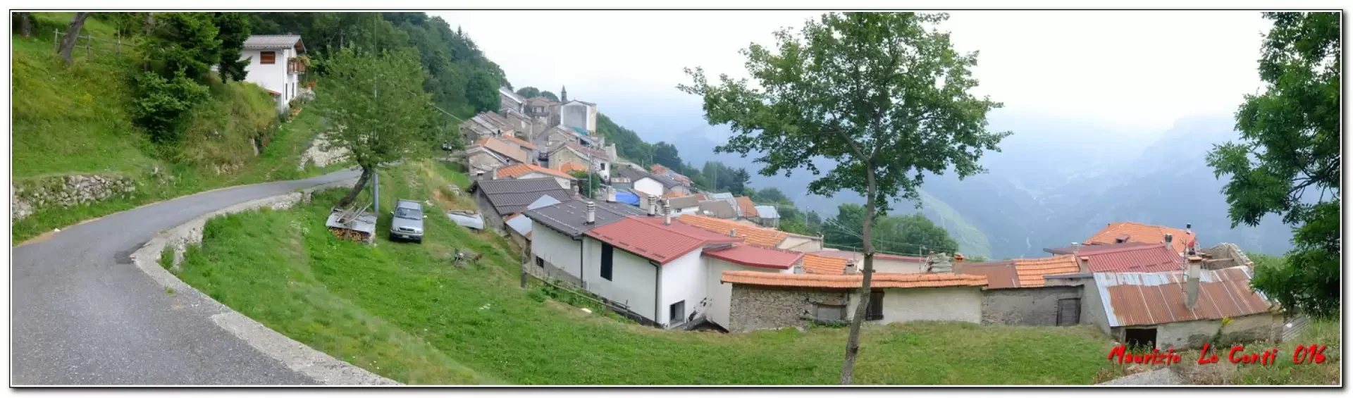
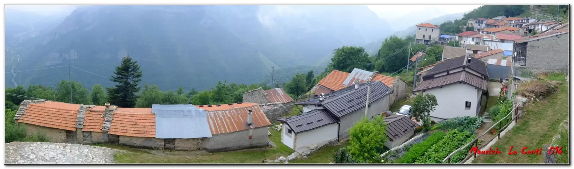
You start at Viozene and there is a nice signpost highlighting the entire Balconata route (also in English). At a couple of forks, you keep first to the right and then to the left. You pass Casa Bruciata (15') 1265 m and enter a beautiful forest. After 5' you avoid a fork (to the left for Toria and Pè) and turn right for Pian del Fò. You lose altitude and cross the Rio Bianco river with a nice bridge (10'). Afterwards, one rises through the trees until discovering a beautiful votive pillar with barely visible figures. From the beautiful flower house at Pian del Fo (20') 1304 m, the asphalt road is found. In 10' you are above Pornassino and proceed straight ahead on a dirt road. You ignore the path to the left to Logne (no sign! - 15'). You have the same doubts further on at the crossroads for Caccino and in this case you continue on the level road to the left. For a long stretch, any kind of symbols (specific or otherwise) are absent. With a little bit of intuition, one continues on the main track. You walk very pleasantly with little fatigue and in 25' you cross a dirt track that turns Y from the left. Less than 5' to the ruins of Case Pollaio, you finally have some points of interest! Another 10' to Case Fasce 1247 m. Here some houses have been recovered and are open. After 20' you reach Merea 1232 m, where you leave the main track to turn left uphill on a barely evident path that then widens out. In 20' one crosses a dirt track and at another crossroads, without the specific Balconata symbols (5'), one bends left uphill and then comes out of the thick forest. Here the view should be beautiful, but a bit of mist has risen, which hides everything a little. In another 30 minutes you are at Biranco 1446 m, which is the highest point of today, we turn right and descend towards the final destination We overlook some forks and in 20 minutes we are at Quarzina 1366 m, a village with many houses and the characteristic Church of the Madonna del Carmine of the XVIII century. We arrive early and there is almost no one there, then the place gets crowded.
Full and long day, the trip was a bit complicated, because of the two cars to be fixed at the beginning and end of the trip, and therefore requires good motivation and not just a generic interest...
In short:
; Fair weather, Dif. T/E (poorly signposted in places). 3h30 Total (we travelled at a slightly higher speed than usual), 13km, 350m ascent with some minimal ups and downs.
Trip Photos:
http://www.cralgalliera.altervista.org/BalcontaOrmea016.pdf
http://cralgalliera.altervista.org/altre2016.htm
General information
Trail: from Viozene to Quarzina, along the Balconata di Ormea
Signposts:
Type of route: traverse
Recommended period: always, except on the hottest or coldest days
Sun exposure:
Objective Danger:
Exposed Tracts:
Useful Equipment:
Water:
Gastronomic Information
Saracen polenta is an ancient dish exclusive to the Tan<ro Valley. Prepared with local products such as potatoes, buckwheat - whose flour was originally the only one used -, wheat flour, pecorino and parmesan cheese, butter, cream, leeks, dried mushrooms. . .
Bibliographical references
- (*) Balconata d'Ormea: from Valdarmella to Eca, 2014 outing:
http://www.cralgalliera.altervista.org/BalcontaOrmea014A.pdf
http://www.cralgalliera.altervista.org/BalcontaOrmea014B.pdf
NB: In the event of an outing, always check with FIE, Cai, any park authorities or other institutions, pro loco, etc., that there have been no changes that have increased the difficulties! No liability is accepted. This text is purely indicative and not exhaustive.
Info Hiking Section Cral Galliera: http://www.cralgalliera.altervista.org/esc.htm
trips 2016 at the link: http://www.cralgalliera.altervista.org/gite016.pdf
Photo gallery
Comments (0)
Sign in to leave a comment