Punta Sourela, from Col San Giovanni

Edited by:
Silvia Quaglino
Last survey: 09/02/2010
Updated at: 22/09/2024
Updated at: 22/09/2024
Difficulty
T2
Length
0.00 Km
Departure altitude
1100 m
Arrival height
1770 m
Positive difference in height
670 m
Round trip time
01h30'
Return time
01h00'
Recommended period
Access
from the viù valley, follow for the lys pass. a few kilometres before the pass, stop at colle san giovanni.
Description
from Almese: follow the signs for Colle del Lys, continue over the col passing niquidetto (base for the Civrari climb) and reach Colle S.Giovanni. As this is a very popular excursion the trail is generally always very clear.
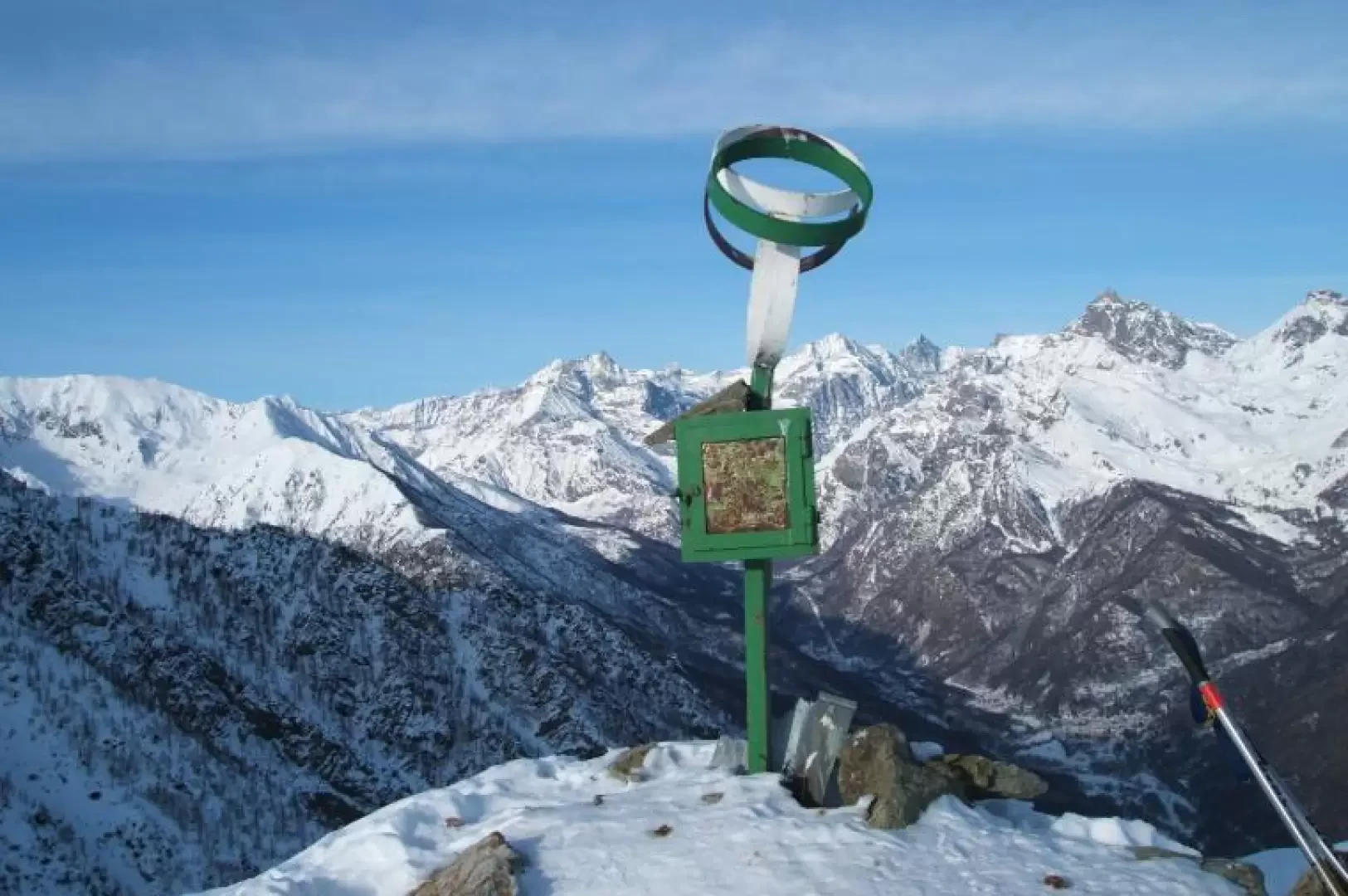
From the houses of Col S.Giovanni or from the cemetery 200 metres later go up in an easterly direction through meadows dotted with mountain huts and shortly after passing a short wooded strip reach the wide ridge where it begins to become clear. Follow it to the top (summer path on the left) where there is a metal sign with a small box and summit diary.
Photo gallery
© 2021 - Silvia Quaglino
© 2010 - Silvia Quaglino
© 2010 - Silvia Quaglino
© 2010 - Silvia Quaglino
Comments (0)
Sign in to leave a comment