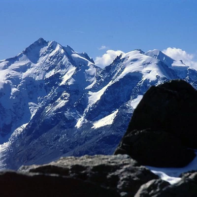
Piz Languard

Access
Bernina Suot is a stop on the Bernina train just before the pass of the same name, coming from Sankt Moritz. You can leave your car in the square in front of the few houses, or a little further up the mountain in the large square at the Diavolezza cable car departure point.
Introduction
The ascent to Piz Languard is very popular with Swiss hikers because of the ease of access (practically a marked path up to the summit, with a cosy hut just below the summit) and above all because of the absolutely fantastic panorama from the summit over the Bernina group, and not only.... But almost everyone climbs up from [[Pontresina]] with the Alpe Languard chairlift (2200m) or with the Mouttas Muragl train (2453m) from Punt Muragl. Instead, a longer but much more varied and lonely route is described here, which starts at the Diavolezza cable car forecourt, creeps into the Val da Fain (splendid ski-mountaineering routes), climbs to Fuorcla Pischa skirting waterfalls and lakes with interesting geological phenomena (for more on this, see the Geology page of my personal website), and follows the long Crasta Languard at the base until it reconnects with the more popular routes, mentioned above, at the base of the SW side of the mountain. The final ascent is a little strenuous but very easy (marked path) to the summit from where there is a justifiably renowned 360° panorama.
Description
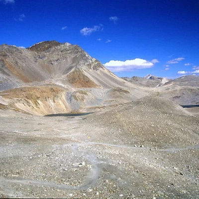
From the Diavolezza cable car departure area, descend along the tarmac road towards Bernina Suot to the entrance of the small road which, having crossed the river on a small bridge, leads into the Val da Fain; follow this road for about 1 km until a signpost tells you to continue left to Fuorcla Pischa, thus entering the lateral valley dominated at the top by a beautiful waterfall. We climb up the valley with narrow hairpin bends and then reach the ridge with a long traverse to the right. Now, by means of some false slopes, we walk along the eastern slopes of Piz Albris, having on the right some splendid lakes: the route is marked by some poles with the usual white-red marks. Finally, a short ascent leads up to Fuorcla Pischa.
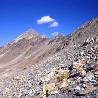
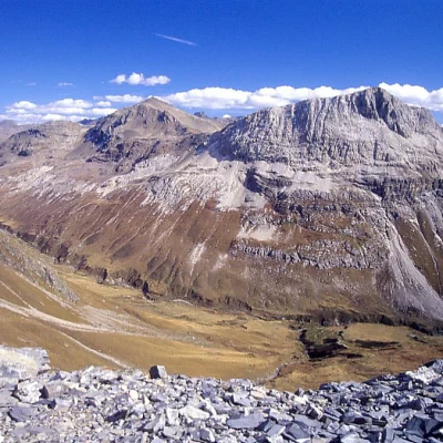
We now descend on the opposite flank along the path that remains halfway up on the right, first slightly downhill and then slightly uphill, cutting across the flank of the long Crasta Languard until below the slopes of Piz Languard, where it joins the other routes to the summit. Now the path zig-zags its way up the western flank of the mountain, then over large scree blocks to the hut below the summit.
From here, along a path that is always marked, to the summit.
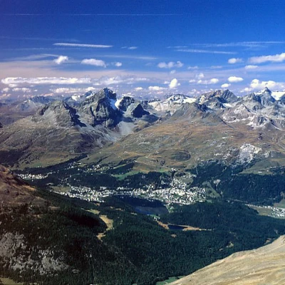
The panorama is simply grandiose. Return
by the same route.
.
Riferimenti Bibliografici
- Engadina, le più belle escursioni - L.Merisio - Lyasis Edizioni
