Piz Lai Blau

Access
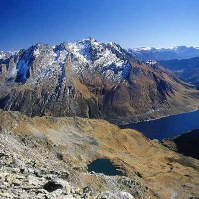
The Passo di Lucomagno in Switzerland can be reached along the Blenio valley, having left the Gotthard motorway at Biasca. From the pass, you descend northwards past the first avalanche tunnel; immediately afterwards, a small road branches off to the left, leading to the small car park beside the head of the Santa Maria dam.
Introduction
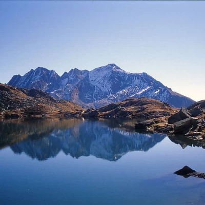
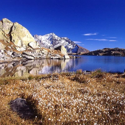
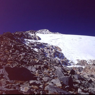
The Piz Lai Blau is a beautiful peak to the north-west of the Passo di Lucomagno. From the south, it does not appear any different from the various peaks along the stony ridge from the Gannaretsch to the Rondadura, but once you reach the col above the Lai Blau, the mountain surprises with its beautiful glacial sheet. The path only climbs up to the Lai Blau pond, where only a few hikers climb anyway. From here on, very few hikers ascend and only slender traces can be found. From the same pond, bypassing the 2759-metre-high peak on the right, it is possible to head to the higher and more distant Piz Gannaretsch, the highest peak in the area, but the hike becomes rather long, having to make a few ascents and traverse some troublesome boulder-strewn slopes.
Description
On foot, walk along the whole of the dam, taking the opposite side and following the dirt track that, with a few ups and downs, runs along the left bank of the lake. At its end, take the marked path up the Rondadura valley and then its left orographic side to the beautiful Lai Blau lake. Here the path ends and there are two options for climbing up to the col above: either climb up the macereto to the right and then along a narrow track on the grassy slope below the rocks, making a long traverse to the left (cairns); or climb directly up to the col, going round the lake on the left, and passing a rocky strip through a scree gully with water on the far left and the debris above. From the col, turn sharply to the left, walking along the entire gentle scree ridge suspended between the glacier on the right (which has some large crevasses) and the rocky crags on the left.


