Carema Vineyard Trail
Access
Leave the motorway at the Quincinetto exit and follow the signs for Pont-Saint-Martin. When you reach a roundabout, take the 2nd exit and drive a few kilometres until you reach Carema. Arriving near the centre of the village, follow the indications for the sports facilities located in Via Torino, where you can park.
⚠ Arriving in Carema there are several speed cameras: it is advisable to respect the 50km/h limit.
- How to get there with GMAPS
- How to get there with Apple Maps
Introduction
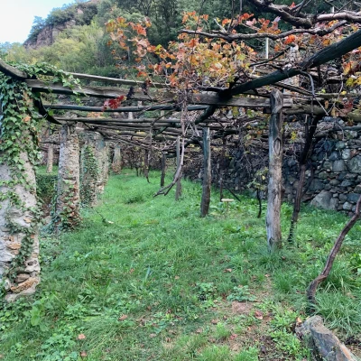
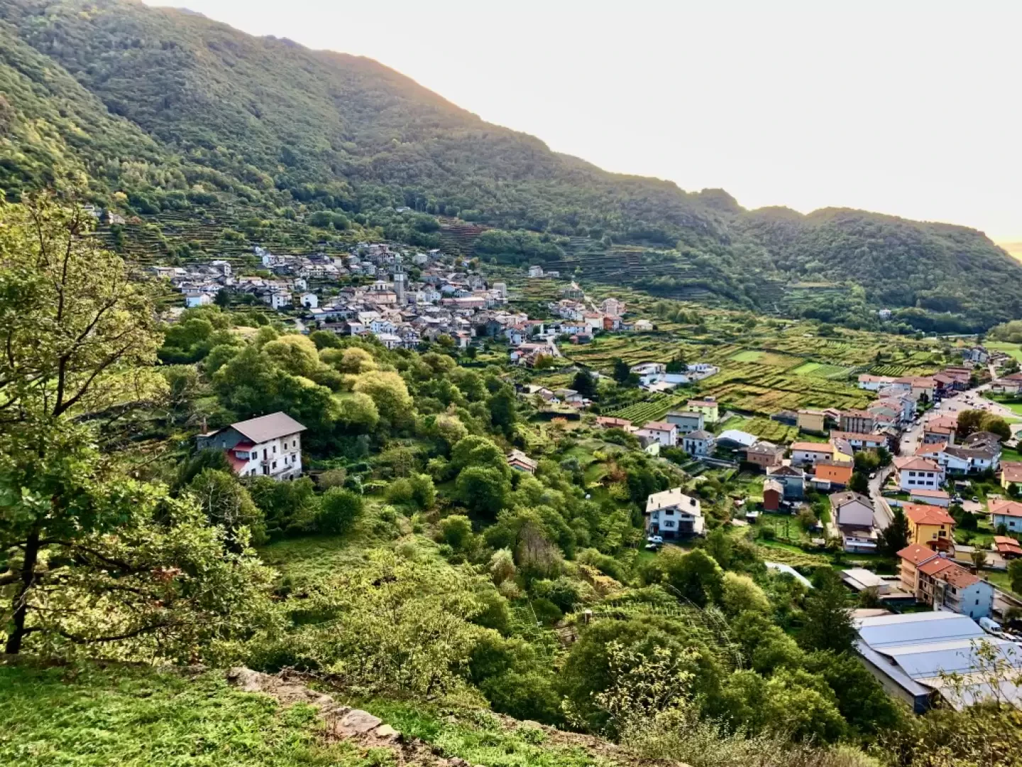
A delightful itinerary through the vineyards of Carema to discover its hidden treasures and winemaking heritage. Following the Vineyard Trail, guests will be able to understand the value of the topiary architecture that so strongly marks the Carema landscape and will be able to perceive the perfume of the land from which the precious Carema wine is born. Following this Ariadne's thread, the attentive tourist will notice the aedicules that decorate the walls of the village houses and the sculpted portals, will understand the meaning of the inscriptions that decorate the ancient fountains and will be amazed by the presence of the mighty mediaeval Caseforti.
The route consists of a ring-route, with a total length of about 3 kilometres and an uphill difference in height of 100 m, which uses some of the many paths in Carema and makes it possible to visit the main and most important sites in the village at all times of the year.
Description
0h00' On the edge of the car park there is an explanatory panel with a description and map of the route. From the car park, follow Via Torino in a northerly direction (towards Aosta) for about 400m. Shortly before reaching the service station, at the level of the panel with a canopy welcoming you to Valle d'Aosta, turn right onto a grassy path.
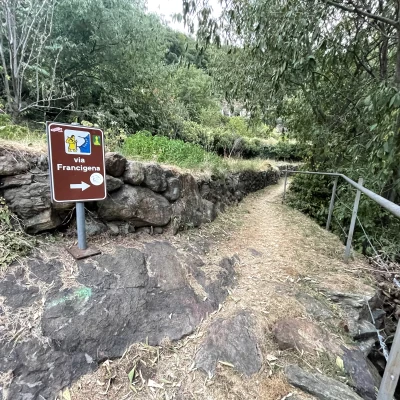
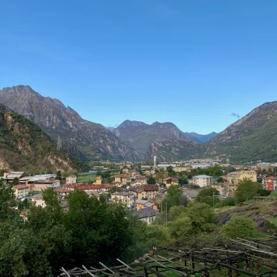
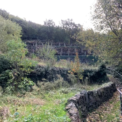
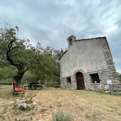
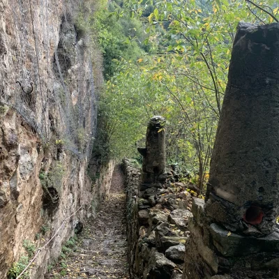
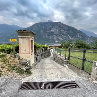
0h07' Briefly follow the path that quickly meets the Via Francigena. Turn right and begin a short climb, while behind you there is a fine view of the roofs of Dogana and Prati Nuovi. The path is accompanied by a metal railing and drystone walls of exquisite workmanship that accompany the hiker on the ascent through the characteristic terraces in which the vines are set supported by pilun (the white pillars) that support the topie or pergola structure as defined in the local dialect. Go up a few steps and continue southwards until you reach the chapel of San Rocco (384m), dating back to the 17th century, when the people of Carema erected it as a vow to San Rocco, protector against the plague that had struck the town in 1630.
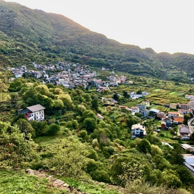
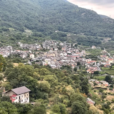
0h15' From the chapel you can appreciate a fine view of the natural amphitheatre in which Carema stands. Continue along the path, which is now level, still through the vineyards, until you come to a steep descent close to a rock face that soon leads onto a small road, skirting other vineyards, that enters the village of Carema.
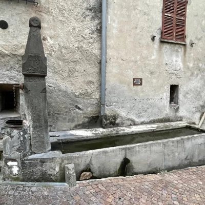
0h25' When you reach the hamlet of Foriana, take Via Roma. The road leads into the historic centre in the locality of Foriana, which then joins Via Roma where you can admire a beautiful granite fountain bearing an ancient ornamental carving depicting the sun. A little further on we reach the Casa della Musica (House of Music), home of the music band and with a hall dedicated to the activities of the Carema community, while at the corner with Via Pontetto stands a shrine with a delicate female figure depicting Saint Cecilia, the patron saint of music.
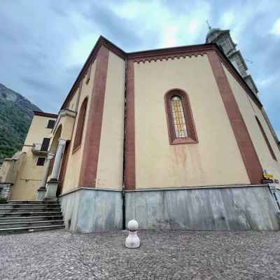
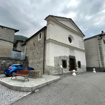
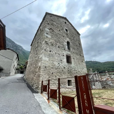
0h30' Continue along Via Roma to the junction with Via Basilia, embellished by another public fountain 💧 dating back to 1571 and protected by the Superintendence for Artistic and Architectural Heritage of Piedmont. Continue up to the square where the Town Hall and the Parish Church of San Martino are located. A little further on, in Via San Matteo, there are several buildings of notable architectural value: the Bell Tower of the Parish Church (18th century), the fountain of San Matteo (dated 1460) and the Chapel of the Confraternity of the Holy Sacrament. Admire the fine Romanesque façade of this ancient place of worship. Close to the chapel, the centuries-old safe known locally as Palazzotto Ugoneti or degli Ugoni is visible. Continuing to the end of the road (beyond the junction of Via Vairos), you will come across the mighty "Gran Masun" safe, dating back to the early Middle Ages.
0h40' At this point, the route leaves the tarmac road to proceed along a flat inter-farm road. After about 500 m, having reached the municipal road, follow it to the crossroads for the Vallo region. Crossing the characteristic terraces topped by the stone pilun supporting the pergolas, you reach Cappella Siei, dedicated to San Grato. Here the route has reached its highest altitude (394 m above sea level).
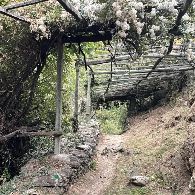
0h45' We begin the descent passing in front of the chapel, heading towards the hamlet of Piole. Before reaching the village, we come across a shortcut with steps, which we recommend using. Reaching the cross-country road again, follow it in the direction of Carema (descending to the right). The steep road descends sinuously between terraced vineyards of considerable scenic value. Having reached the gentle basin that surrounds the village, continue for about 500 m, and at the second fork along the way, turn left along a narrow path flanked on both sides by typical piluns. Follow it until you come to the main road and follow it in the direction of the village.
1h00' After 50m, you reach the Cantina Produttori Nebbiolo di Carema and its sales point, where you can buy the precious Carema D.O.C. After a few hundred metres along Via Torino you return to the starting point 1h05'
General information
Signposts:themed trail accompanied by dedicated signs
Type of route:circular
Advised period:January, February, March, April, May, June, July, August, September, October, November, December
Sun exposure:West
