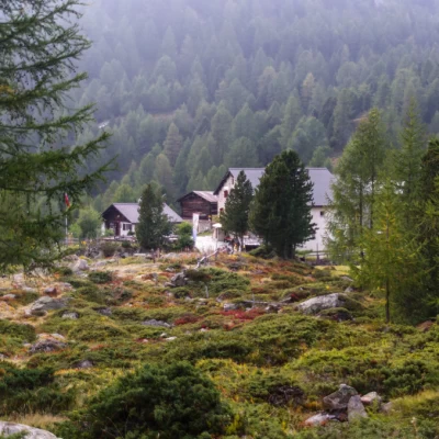
Pass from Val Viola, from Sfazù
Access
From Milan to Tirano along the state roads and ; in the square in front of the basilica turn left towards the state border. Upon entering Switzerland, continue along the cantonal road until you pass Poschiavo and park in the large square at Sfazù.
Introduction
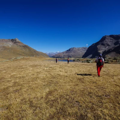
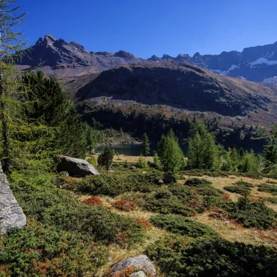
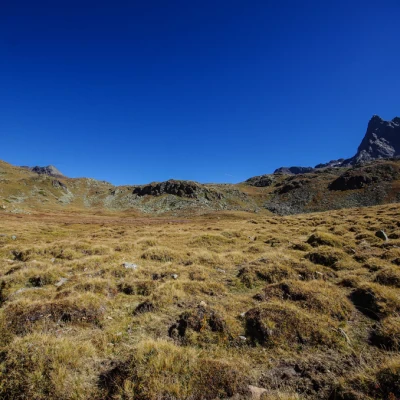
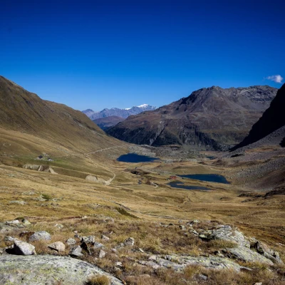
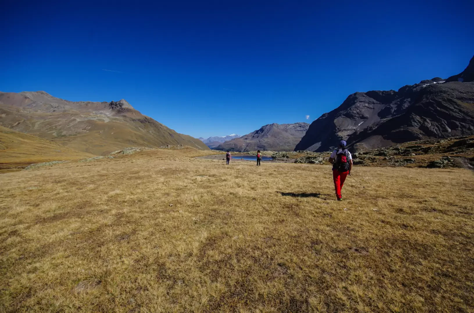
A very popular hike in every season along a valley that goes from a canopy of beautiful black pine forests to the wide open spaces at the summit of extensive pastures: all scattered with numerous lakes and ponds, dominated by rocky spires and, as a backdrop, the glaciers of the Bernina group.
Description
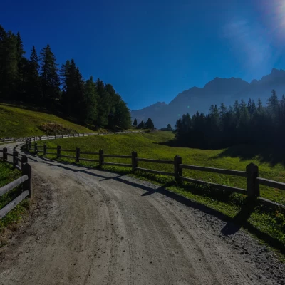
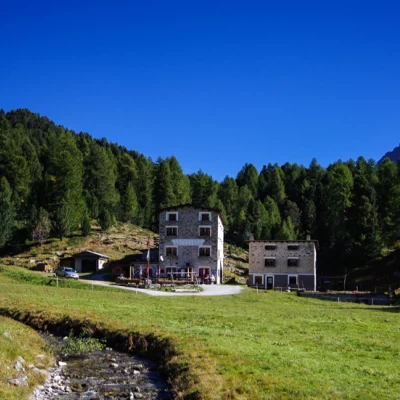
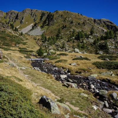
Near the building of the Sfazù inn (1622m), a forest road begins which, with a few bends, climbs up to enter - after skirting the hump with the cottages of Buril (1697m) - the wide furrow of the Val da Camp.
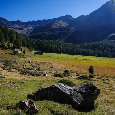
The track continues on a gentle slope, leaving on the right wide meadows for mowing (or grazing in the late season) with the scattered cottages of Salva (1741m), Salina (1890m) and Rügiul (1950m).
Reaching a crossroads (with the return route), heading a few dozen metres to the right, you reach the buildings of the Saoseo Refuge at Lungacqua 2003m. [Up to this point also by postbus].
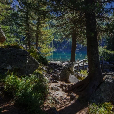
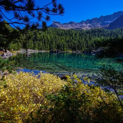
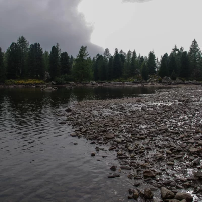
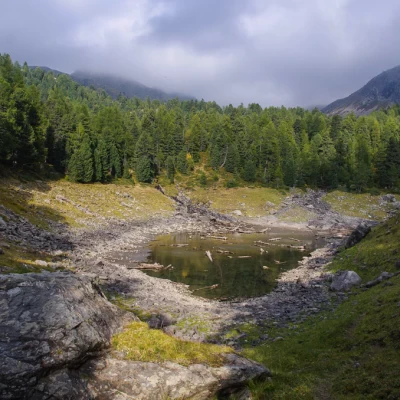
A comfortable path on the right-hand side of the hut leads along the valley into the coniferous forest: with a few short ascents and descents graded over the roots of the pines, you reach a vantage point on the bank of the Lagh da Saoseo (2028m), an idyllic environment that is justly renowned. Continuing along the main route (the area is criss-crossed by numerous paths that approach the lake from various angles), you reach a vast basin partly occupied by the larger Lagh da Val Viola: here a new fork (again with the return route) leads you to follow a recent mountain-bike track to the left, which, with a wide and comfortable turn, takes you to the wide spaces of the Pian da la Genzana. The terrain becomes more stony as we reach the Pass da Val Viola plateau (2489m), a scattered area of basins and small lakes dominated by the Piz Dosdè peak (3232m). In reality, two passes are identified, divided by a slight rise, and - via a short section in Italian territory - one passes from the northern (cycling) to the southern (pedestrian and traditional) path. At this point - back in Switzerland - past a half-steep traverse, you quickly descend to the Lagh da Val Viola along a steep and rocky path, going back to the second fork indicated earlier. We follow the easy mountain-bike track, passing above the narrow groove where the Lagh da Scispadus (2071m) is located and, coming out of the forest, we come out onto the vast meadow of Alp da Camp (2065m) (refreshment point). From here you take the forest track again, which soon descends to the junction at the Saoseo Refuge: following the outward route you return to the Sfazù car park.
