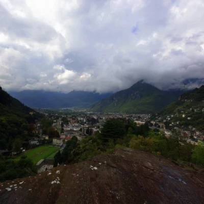
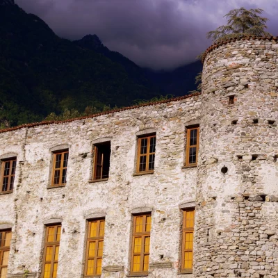
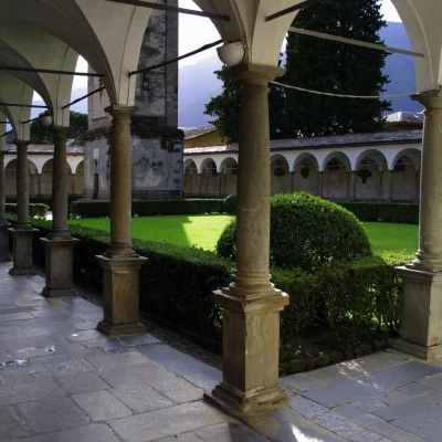
Marmitte dei Giganti Park, from Chiavenna
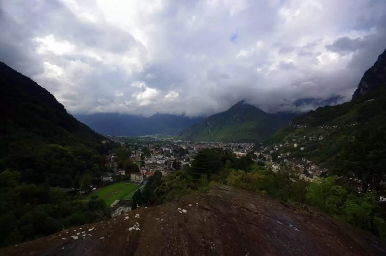
Access
From Milan to Chiavenna along State Road 36; at the first roundabout at the entrance to the town, turn right and, passing the railway station and the Pratogiano crotti, continue briefly to the car park between the cemetery and the sports field.
Introduction
An easy hike that follows the well-known main routes of the 'Riserva Naturale delle Marmitte dei Giganti' (Nature Reserve of the Giants' potholes); the extension of the route towards Val Bregaglia to the descent to Piuro is unusual. The return trip takes place away from the traffic on the Maloja state road, along a recent cycle-pedestrian path that leads back to Chiavenna through the characteristic Crotti di Poiatengo area. Technically, the route does not present any difficulties, but the quality of the rock ("soapstone") makes it particularly treacherous in wet or rainy weather.
Description
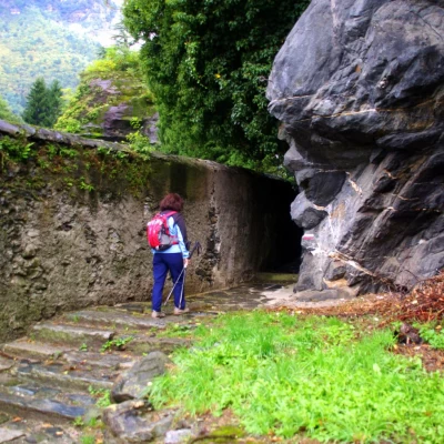
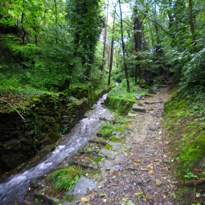
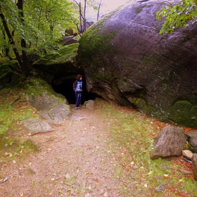
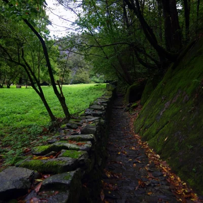
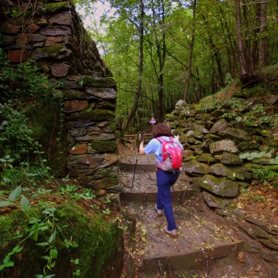
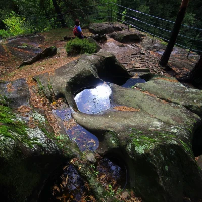
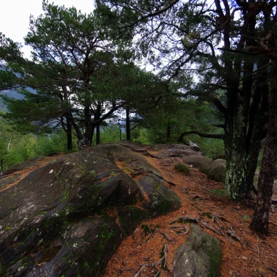
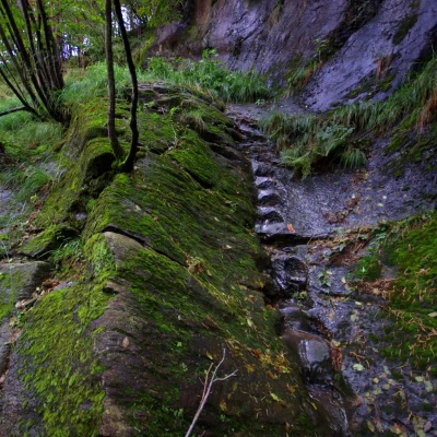
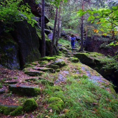
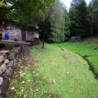
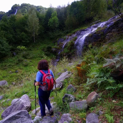
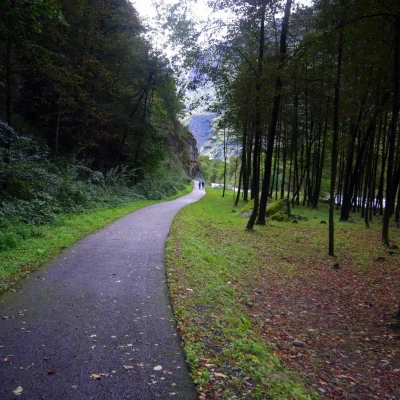
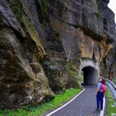
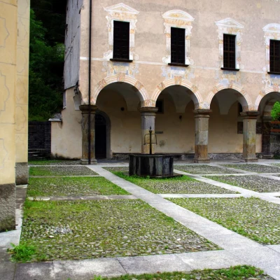
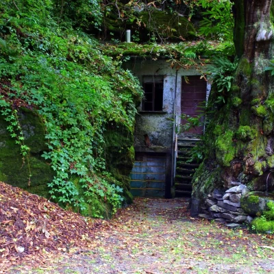
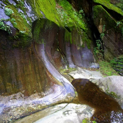
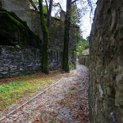
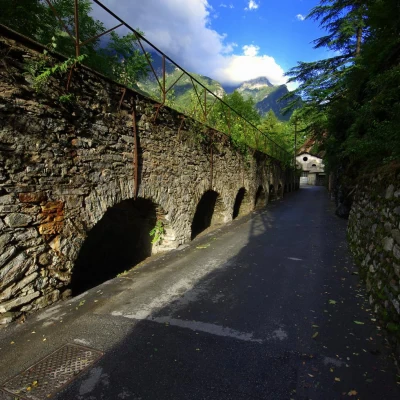
From the car park at Chiavenna 333m, continue towards the cemetery gate and go around it to the right along a lane above the sports centre; at a vertical rock face, a passage opens up to the mule track of the Capiola valley, initially flanked by a stream. Follow its right bank until crossing it over a short bridge: immediately afterwards a fork in the road appears, with the possibility of making a temporary diversions to the left to visit the first soapstone quarries. Returning to the crossroads, continue along the little valley and, having passed the Capiola aqueduct tollgate, a beautiful cobbled road leads to the vast clearing of Prato Grande (on the left, a fountain and rest area); a long flight of steps leads up to Passo Capiola, a crossroads of paths and the starting point for the diversions to the left to visit monumental glacial erosions and giants' potholes. Back at the Capiola Pass, neglecting the descent to Prosto, climb to the right towards the mule track to Uschione: a long series of steep hairpin bends allows you to climb up the banks of the dark and impervious Val Cavrii. A marker indicates the point (locality "Pianatee") where to abandon the path to Uschione, turning left towards the ancient high quarries; the path is narrow and with a long series of ups and downs reaches the cavern-forming boulders that bear signs of abandoned workings and rock engravings. Continue the traverse through the forest strewn with boulders and - in a steep descent - you come to a good level path: follow it to the right, walking for a long time along a sort of dark and mossy valley (along the way, the ruins of the Balzara huts), until a marshy clearing announces Monte dei Vedriè, with a small restored hut. From here begins a steep descent to the bottom of the Bregaglia valley: at a ford, cross the small valley formed by the landslide that destroyed ancient Piuro in 1618. Crossing recent deciduous woods, the path, which has now become an agricultural cart track, joins a paved cycle/pedestrian path; continue to the left along the course of the Mera river, pass a rocky spur (climbing wall) through a short tunnel and - due to the impassability of the bank - cross the watercourse on a beautiful modern bridge. In a short time a second bridge - this one ancient - makes it possible to return to the left bank, right at the ancient nucleus of Piuro with its parish church; you pass numerous crotti and - on a footbridge overhanging the river - you reach a conspicuous specimen of the giants' pothole. Entering Chiavenna, you pass the crotti di Poiatengo and the remains of an ancient aqueduct; by now on the town roads, you reach the entrance building of the Museum and Paradise Park, then the Castle and finally the cloister of the Collegiate Church of San Lorenzo, just opposite the initial parking area.
.