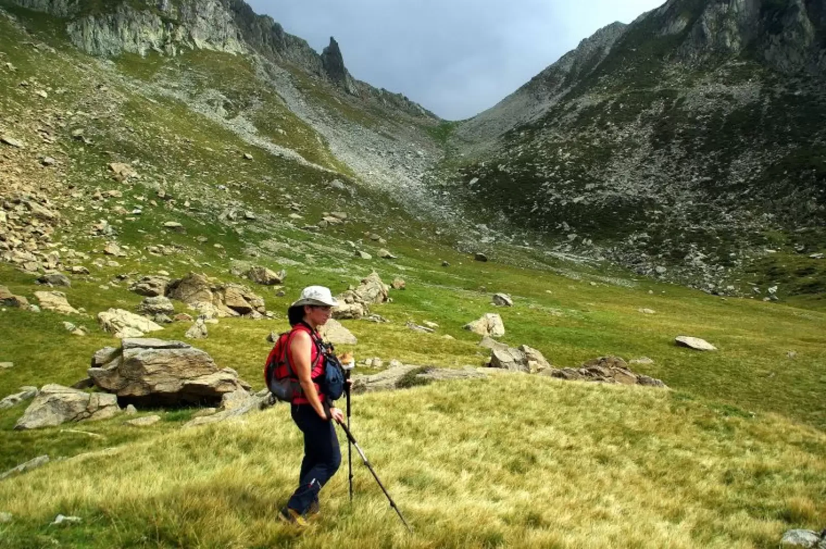
Bocchetta di Bragheggio, from Passo di Giovo

Introduction
Unusual excursion, on the route of the Swiss section of the Alta Via del Lario (a splendidly wild and difficult trek, but with virtually no logistical support) at the head of the Mesolcinese Valle della Roggiasca. Beware of the fact that recent paint markings lead one to follow trails that do not coincide with the descriptions in the albeit scanty literature.
Description
From Giovo 1706 m, follow the service track to the San Jorio Refuge; at the first hairpin bend, leave it and take a wide track to the right, washed away by the rain and washed away by the passage of grazing cattle, on the route of the Alta Via del Lario. Having reached a grassy shoulder with two watering holes, the trail heads in an exposed upward traverse to Bocchetta di Stazzona 2135 m (Bocchetta dei Laghi CNS); it then descends rapidly between the loose stones in Swiss territory to the shelf of Laghit de la Boga 1957 m. Passing between the two bodies of water, the trail goes up and down around the head of the valley until it reaches Alpe di Rogg 1810 m (emergency bivouac); it then continues to a grassy shoulder 1771 m where the trail coming from the Val Roggiasca dam 1002 m arrives from the valley. It climbs up the hump with pastureland and boulders to a sort of short ledge: at this point it is necessary to pay attention to the OLD paint markings. A faded inscription on a rock "AV" (Alta Via) points to the right in a traverse among red serpentine blocks: cross the slopes of the Gana Rossa until you find yourself in a grassy valley between the Gana Rossa itself 2213 m and the Torresella 2245 m. Without a path and lastly on gravel shredded by sheep, we reach Bocchetta di Bragheggio 2044 m: a beautiful panorama of Lake Como and Valtellina. Returning to the little valley, continue following the old painted signs that lead down a vague steep gully until they join the uphill path upstream of the Q 1771 m fork. From here, follow the outward route.