Bocchetta dei Lupi, from Tartano


Edited by:
Marco Bonati
Updated at: 03/09/2024
Access
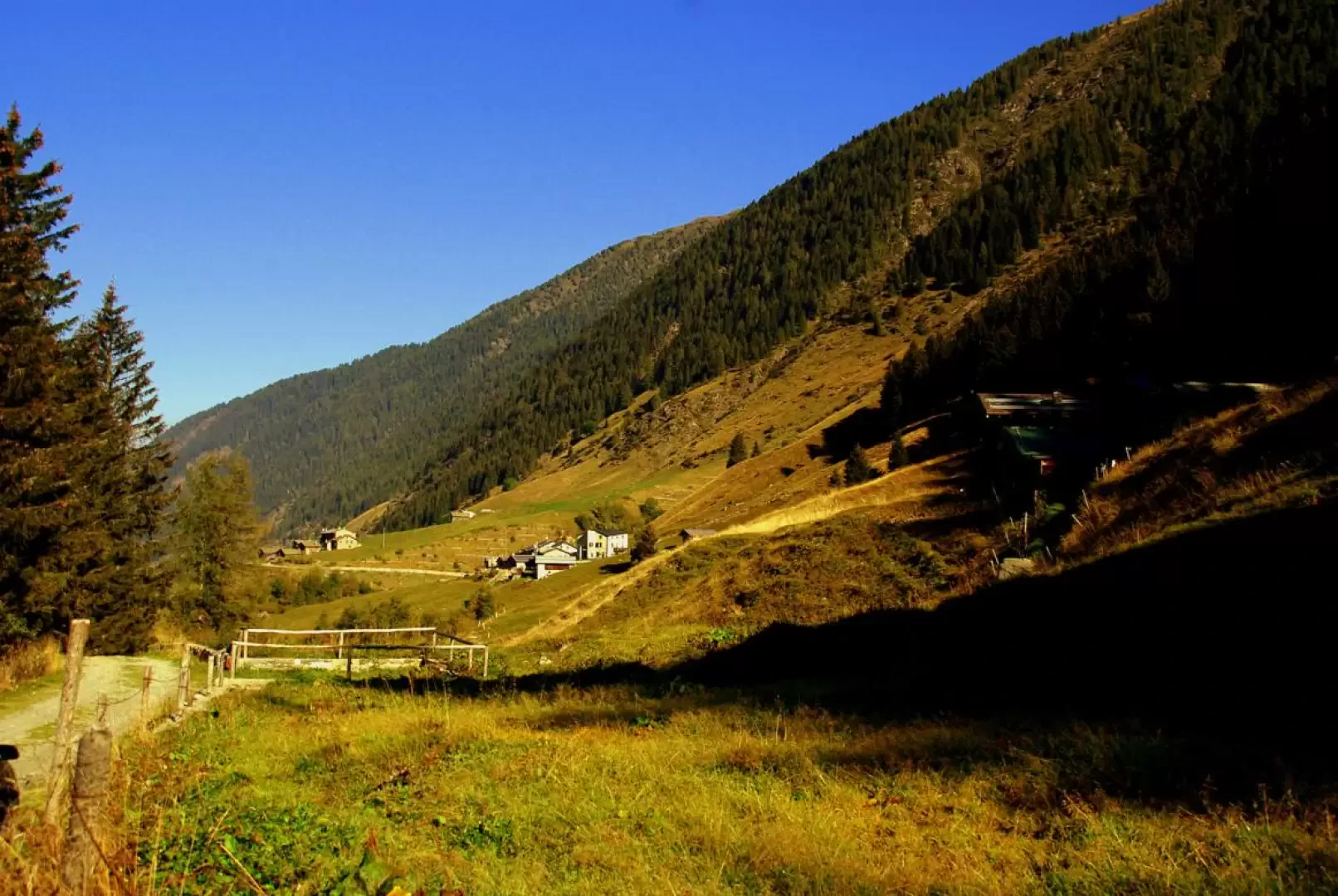
From Milan to Morbegno along state roads 36 and 38; continue in the direction of Sondrio until just beyond the viaduct over the Tartano stream, where you take the Val Tartano provincial road on the right. You reach the village of Tartano and pass it, following the Val Lunga road on the left until its end (where it turns back to reach the districts upstream). There is ample parking on the side of the road.
Introduction
Interesting hike on little-used, unmarked routes that must be carefully searched for on the ground. These are ancient communication routes between the high pastures, now abandoned - as the rare stretches of steps or adapted ledges spared from landslides and avalanches can testify. On the Valmadre slope, the dirt road connecting Valtellina and Foppolo (BG) stands out at the bottom of the valley, uselessly opened a few years ago in the illusory hope of extending the Bergamo ski area to slopes notoriously beaten by extensive avalanches.
.Description
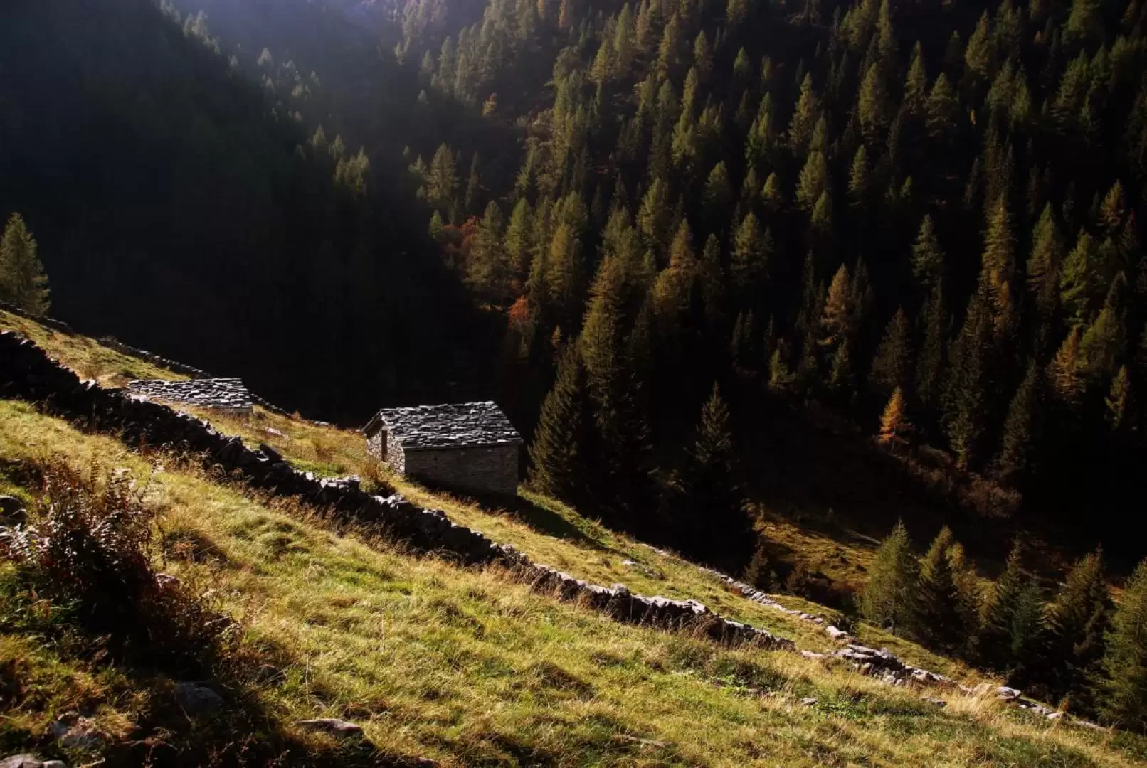
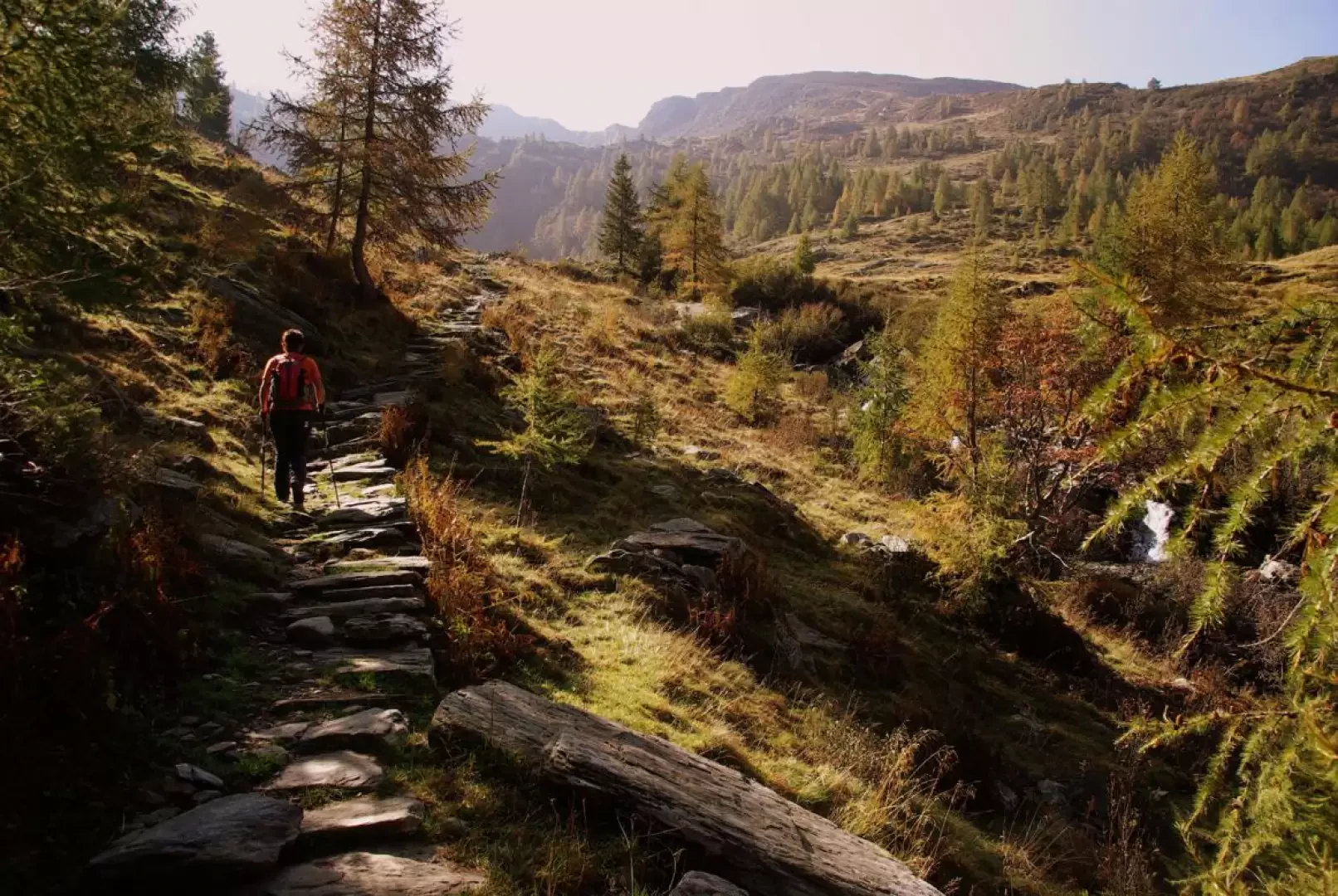
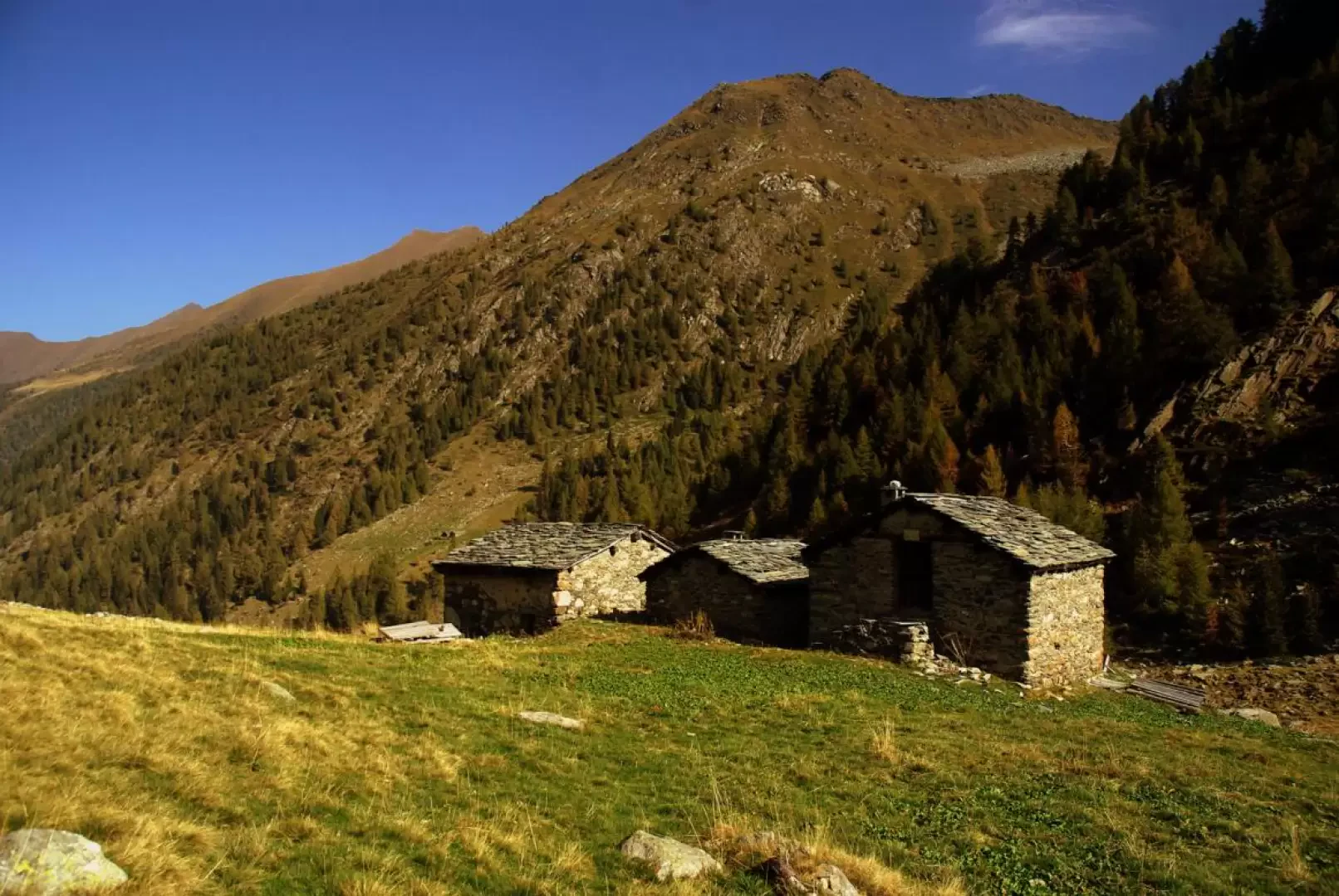
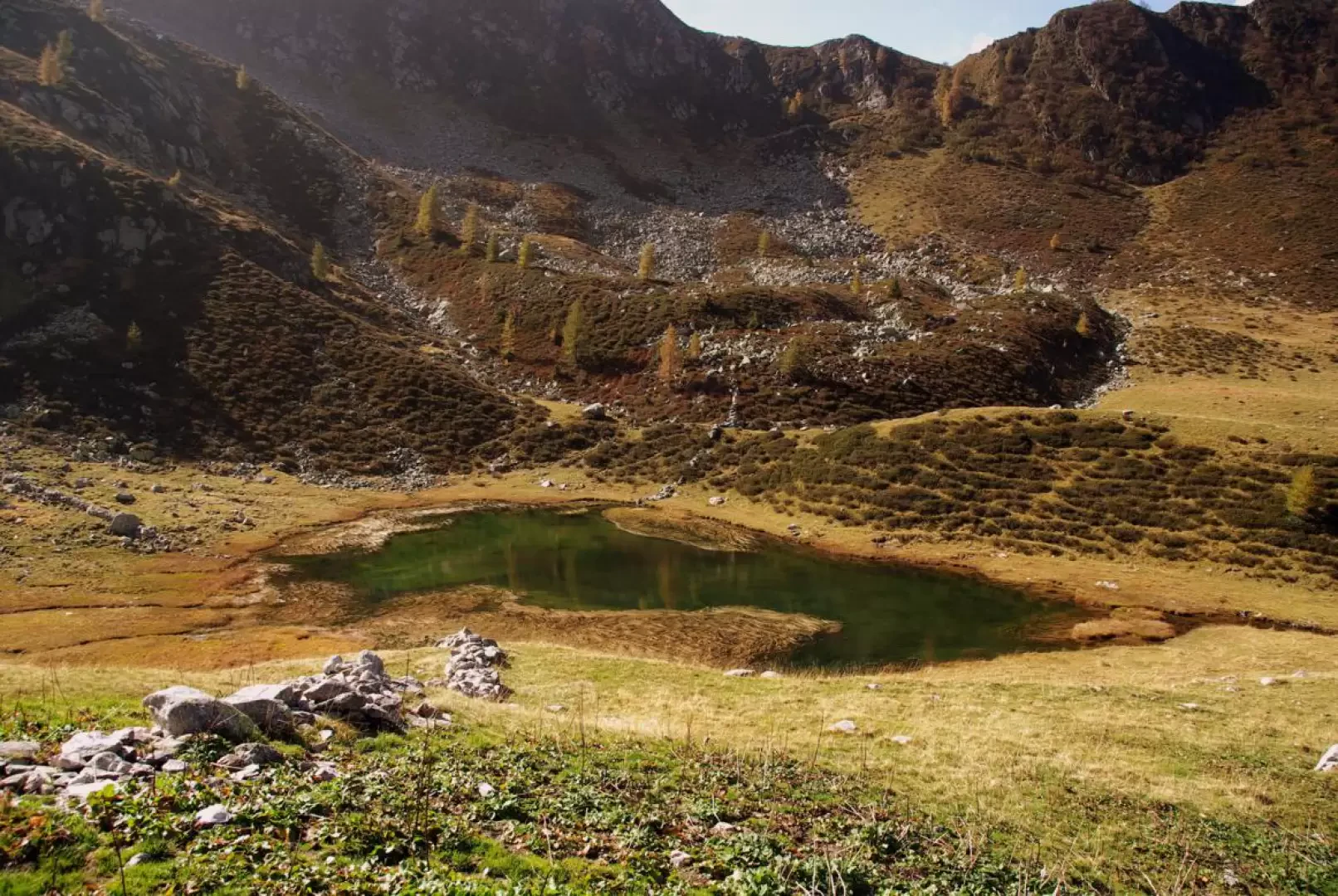
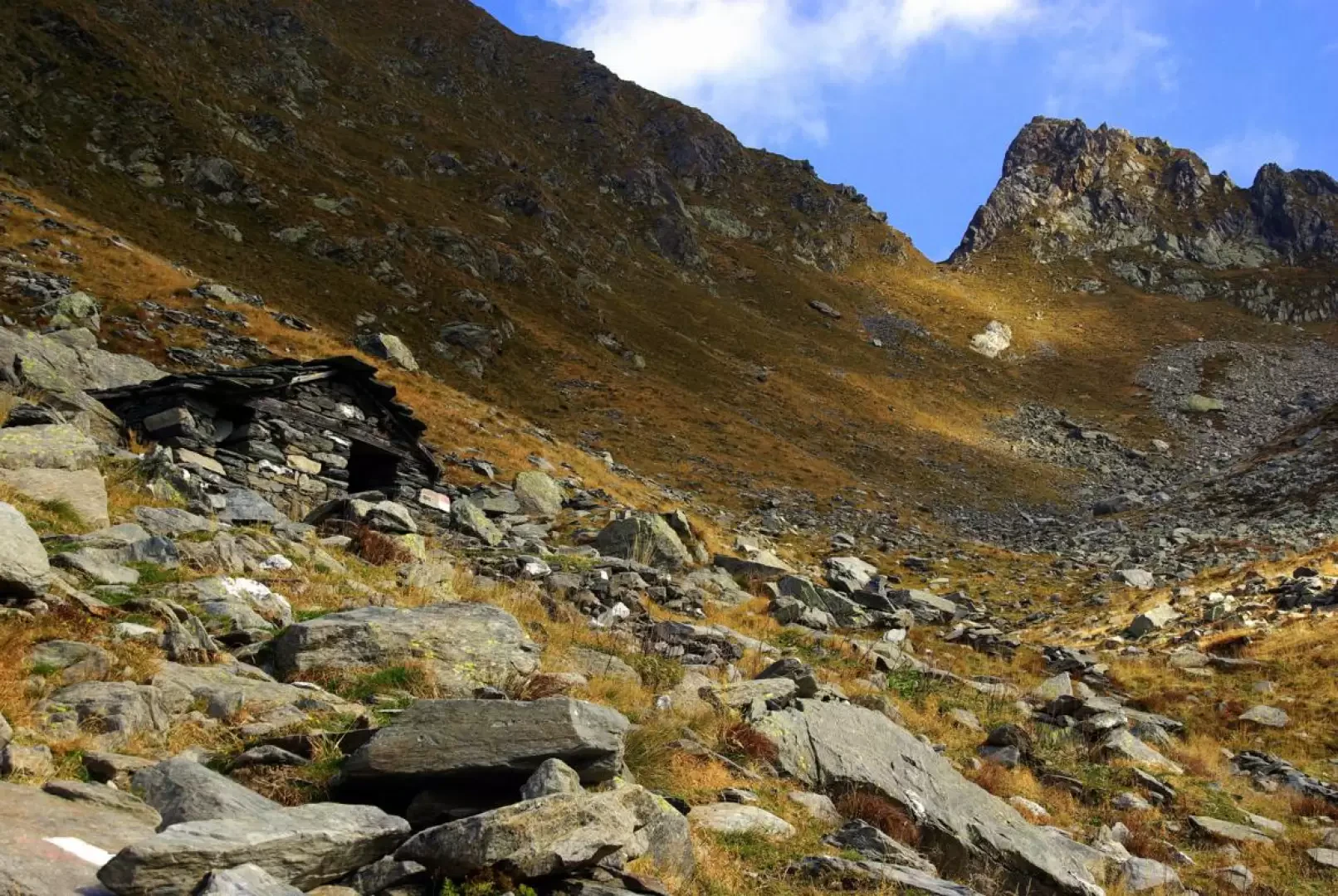
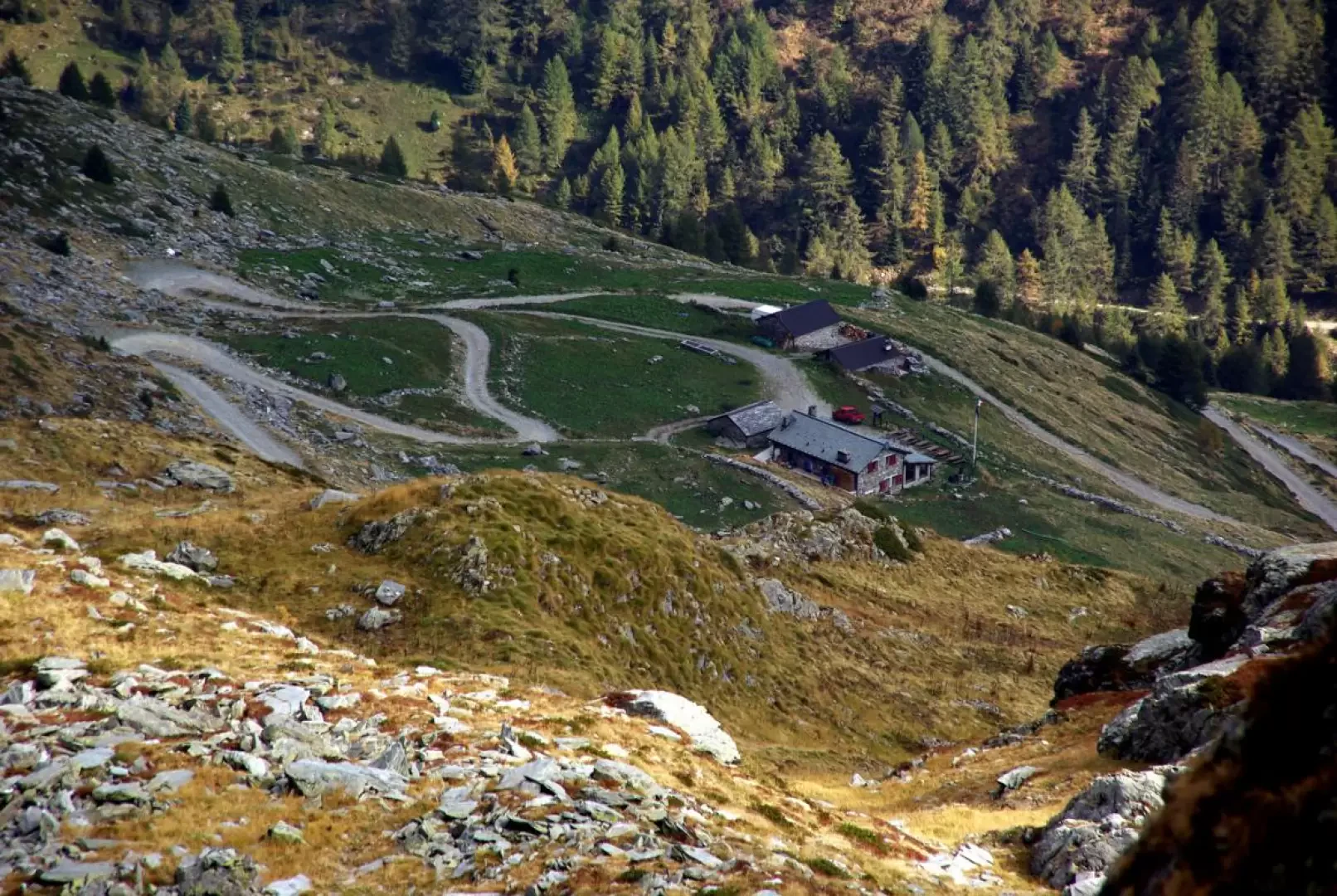
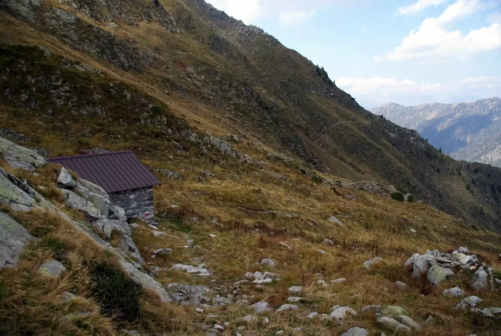
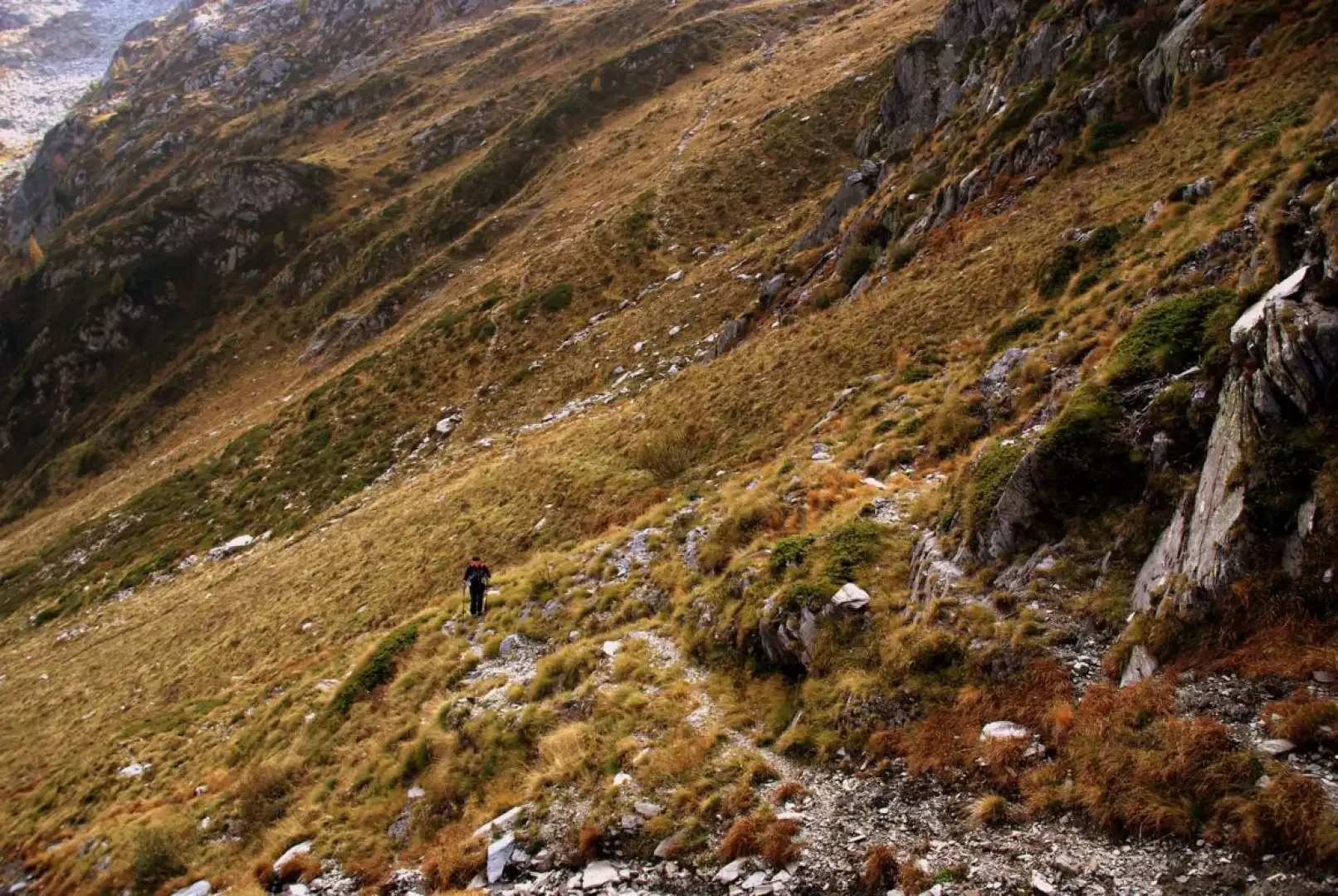
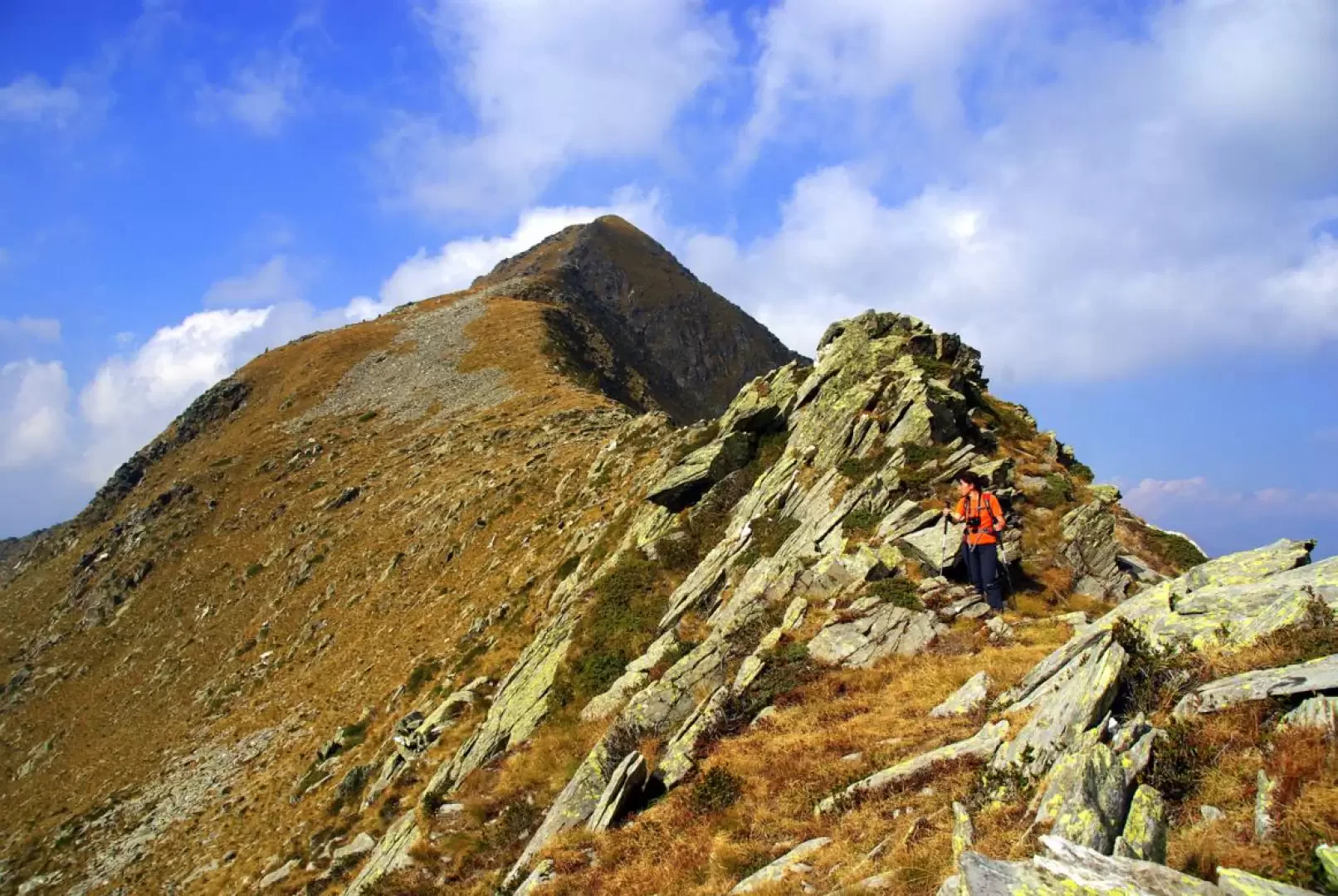
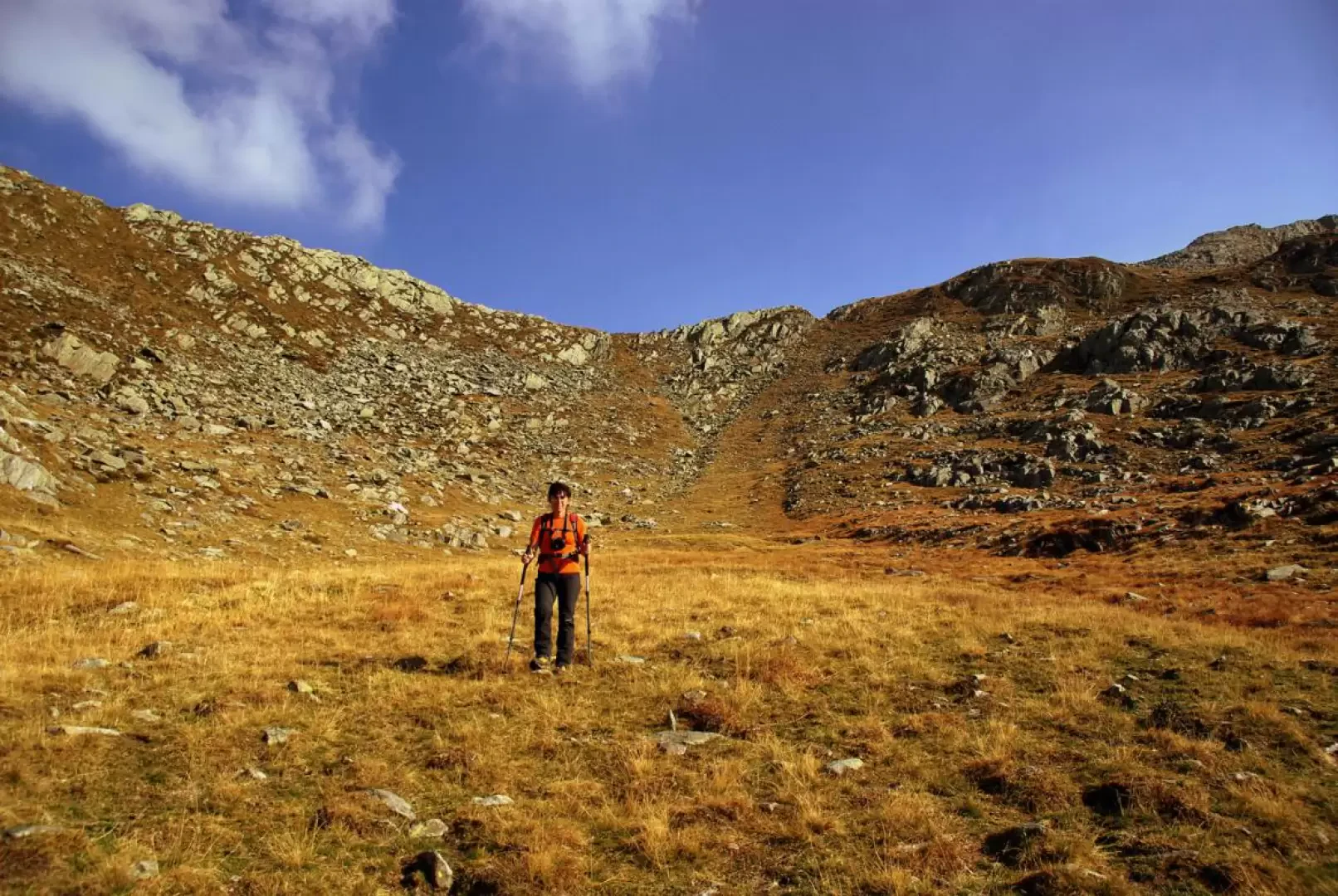
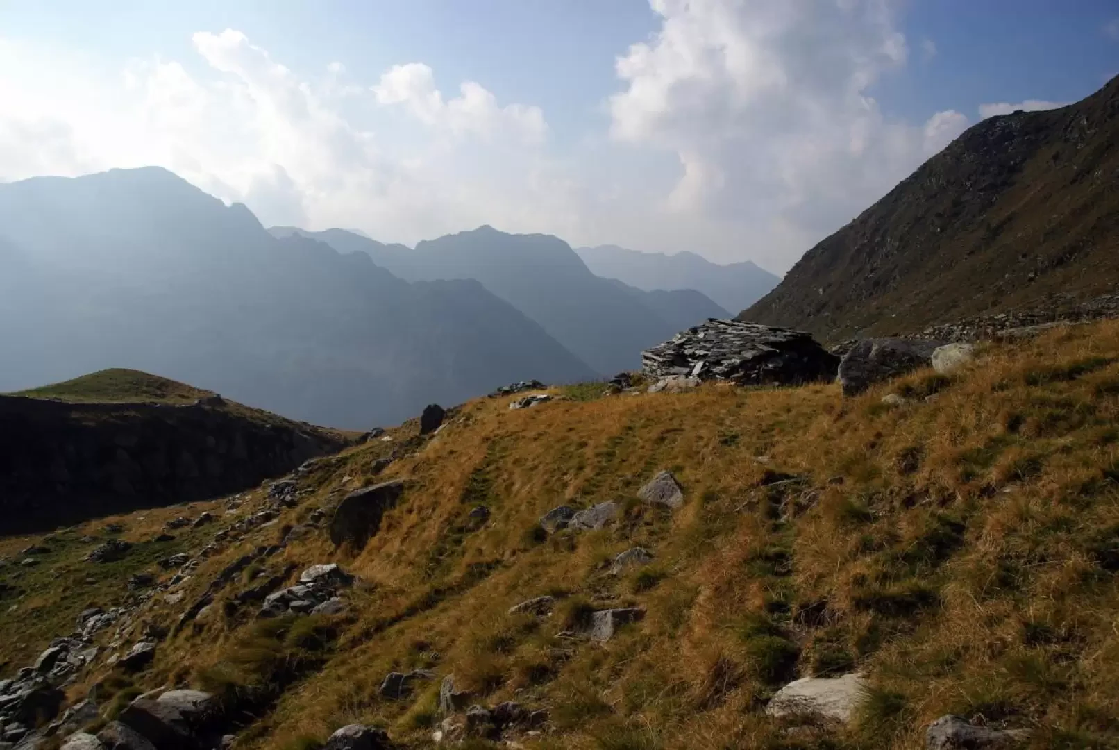
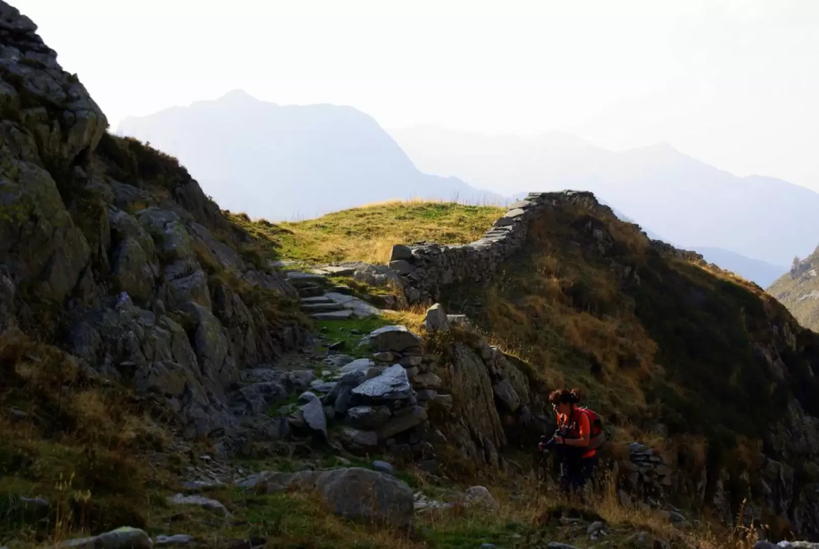
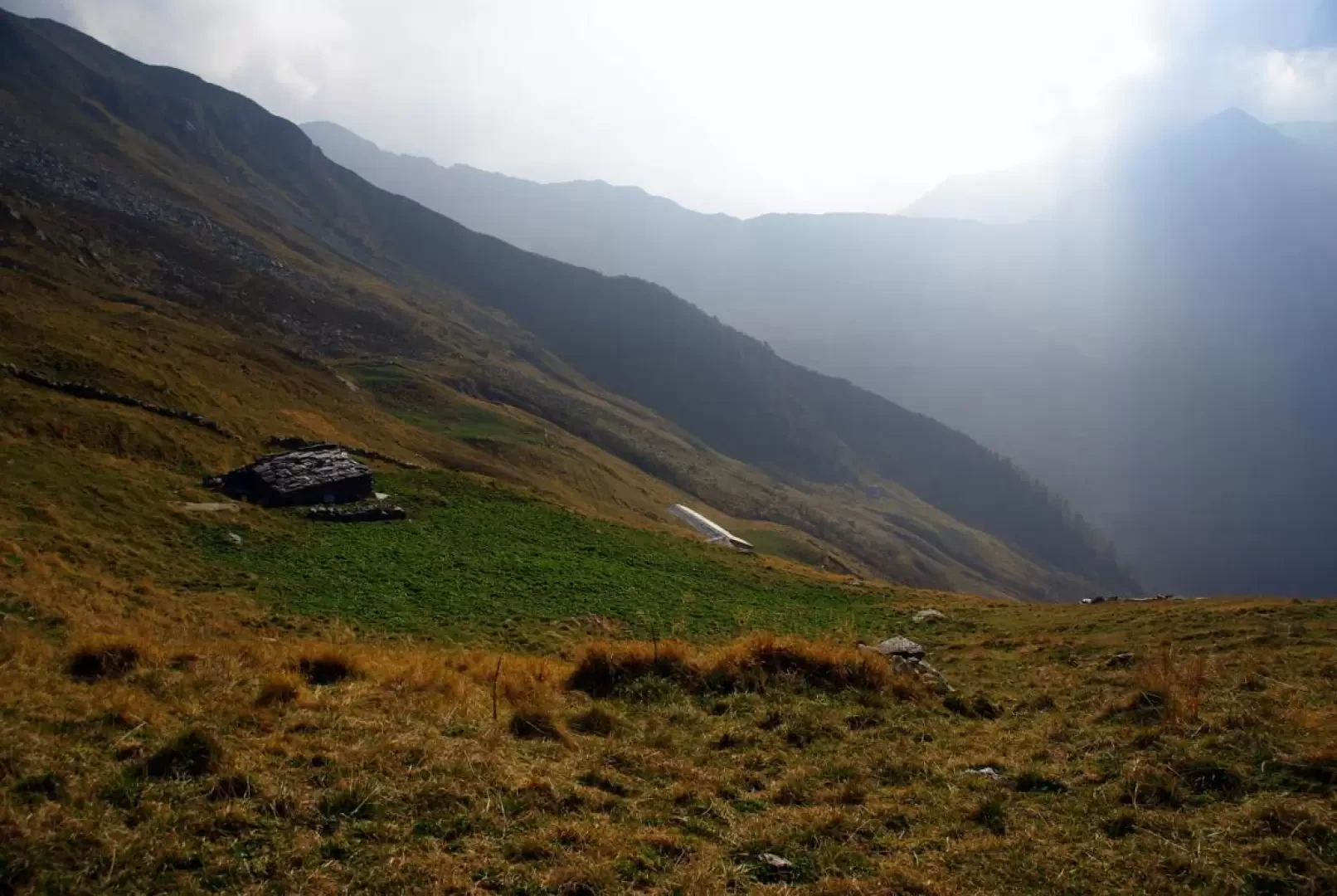
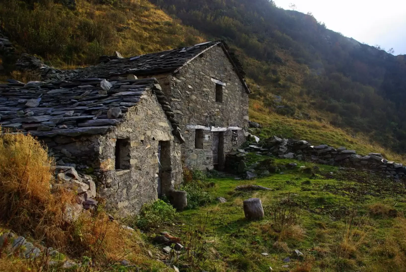
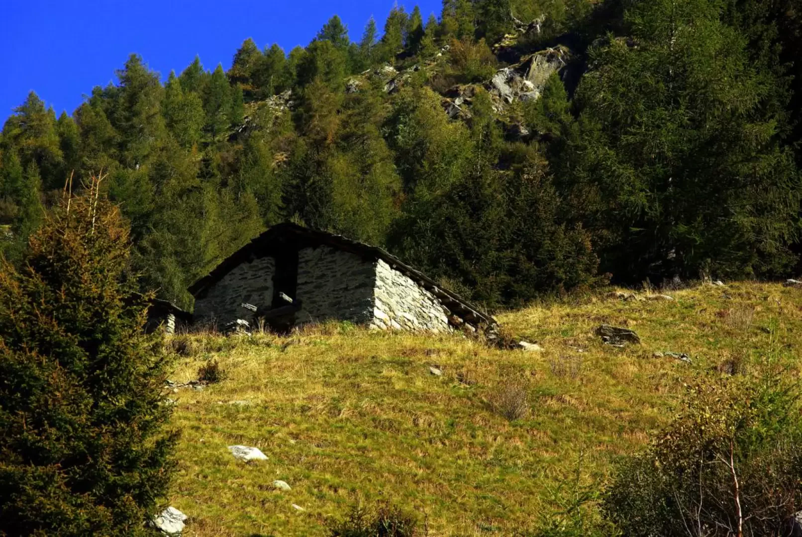
From the end of the road near Arale 1500m, at a fountain, take the path up the left-hand side of the valley towards Baita Bianca 1624m; continue crossing the stream on a concrete footbridge and winding your way up the next wood to the vast plain of Casera di Porcile 1803m. The path, initially parallel to a long drystone wall, leads over a series of sparse wooded crags to the isolated Baita Lares hut 1900m: here there is a fork in the path, which we cross to the left. With a wide turn again to the left (splendid natural stairway) we reach the hut at Q 2005m near the first Porcile Lake ("Laach Pinìi"), followed - just a few metres further on - by the second Porcile Lake ("Laach Grand"). From here, the narrow notch of the Bocchetta dei Lupi 2316m is already clearly visible: climbing up into the very stony pastureland, past the "Baita di Lüf a volt" 2160m, a series of steep hairpin bends leads up to the narrow pass at the border with Valmadre. A steep, landslide-ridden section of the trail causes the hiker to quickly lose altitude and then - back on easily practicable terrain - approaches an unnamed small lake that precedes the "Baita di Q2177m" hut.[At the bottom of the valley, an alpine pasture with a farmstead is visible]. From here on, the signposts end and the path is only a vague trace visible in places. From the hut, it is worth observing carefully the slope to be traversed in a northerly direction: beyond a water drainage, a sub-horizontal landslide fracture is the path to follow, and must be reached via animal tracks. Beyond a hump, you enter a scree slope (track upwards) and reach the ruins of two huts; continue in a sort of little valley a little to the left until you reach a shelf: choosing the best route between blocks and steep pastureland, you reach the lowest point of the ridge above, Passo di Dordonella 2320m. Returning to the side of Val Tartano, the route becomes more evident: after the first steep and stony descent, follow a marshy little valley with walls bordering the pastures ("Bàrek") to the "Baita de Scima" 2175m. Crossing the stream, one ascends to a grassy terrace ("Züch") at the apex of the Dordonella Valley; from here, the continuation of the route is evident. In succession along a diagonal descent to the left, we pass an isolated hut and a long stallion to then reach the buildings of the abandoned Casera di Dordona 1989m. From the pastures in front, descend a stretch for the steepest part amidst sparse alder bushes: where the vegetation thickens, a fine path appears, winding in hairpin bends and rapidly losing height. At the height of the visible Baita Corna 1785m, we again ford the stream and reach it via an exposed, landslide path. Descending as best you can down into the steep pastureland below, you reach the ascent path at Baita Bianca 1624m. From here, it is a short walk back to the car park along the outward path.
General Information
Trail: from Tartano
Signposts: white/red marks
Type of route: circular
Recommended period: June, July, August, September, October
Objective hazard: complex orientation
Sun exposure: north
Photo gallery
Comments (0)
Sign in to leave a comment