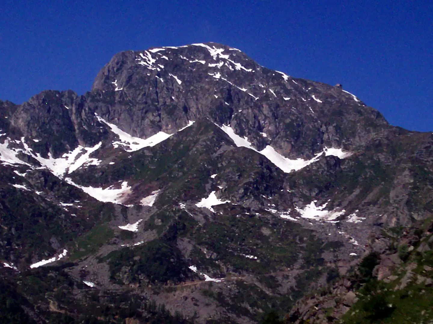
Monte Tovo, from Oropa


Edited by:
Marcello Rossi
Updated at: 03/09/2024
Description
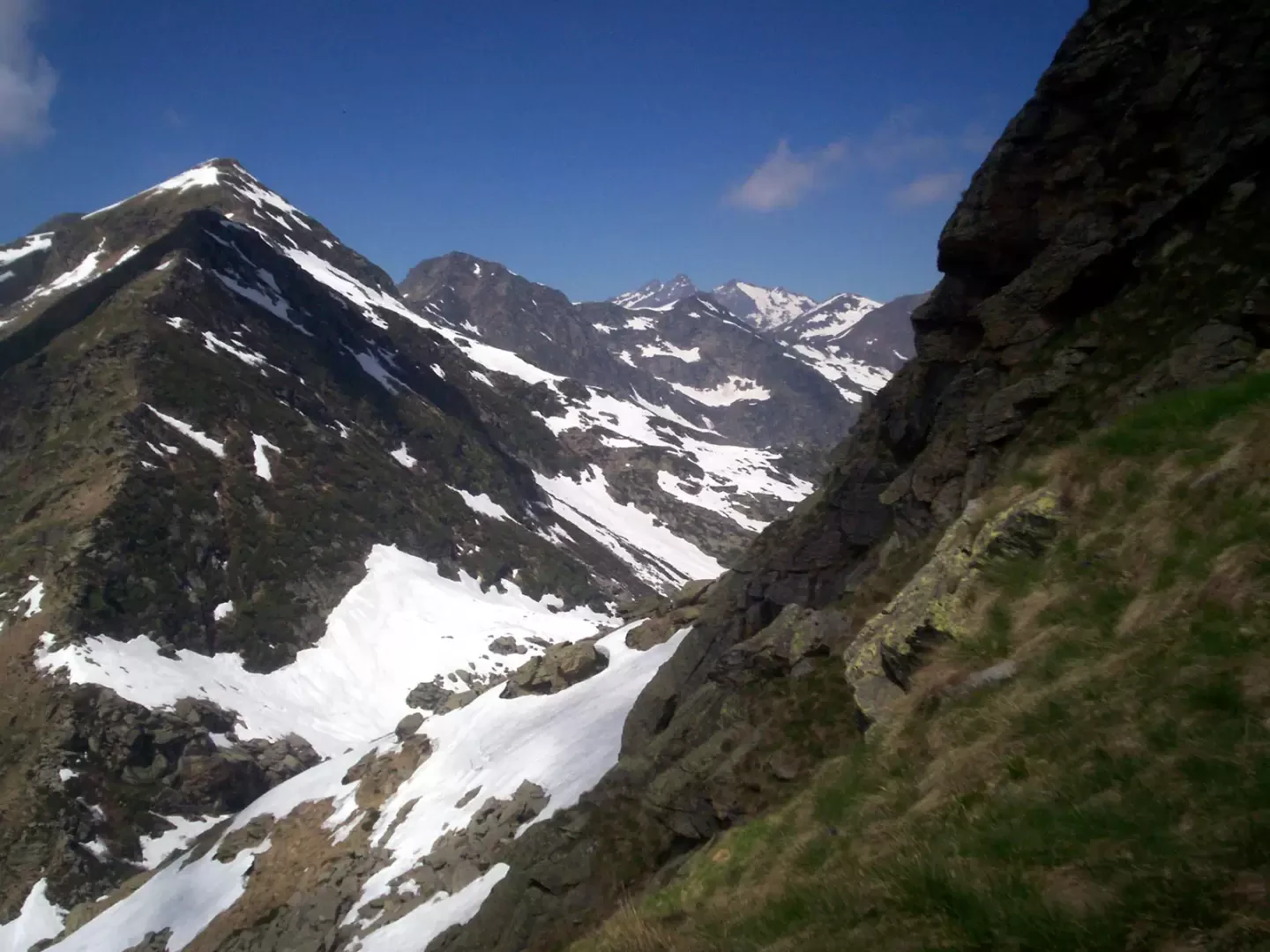
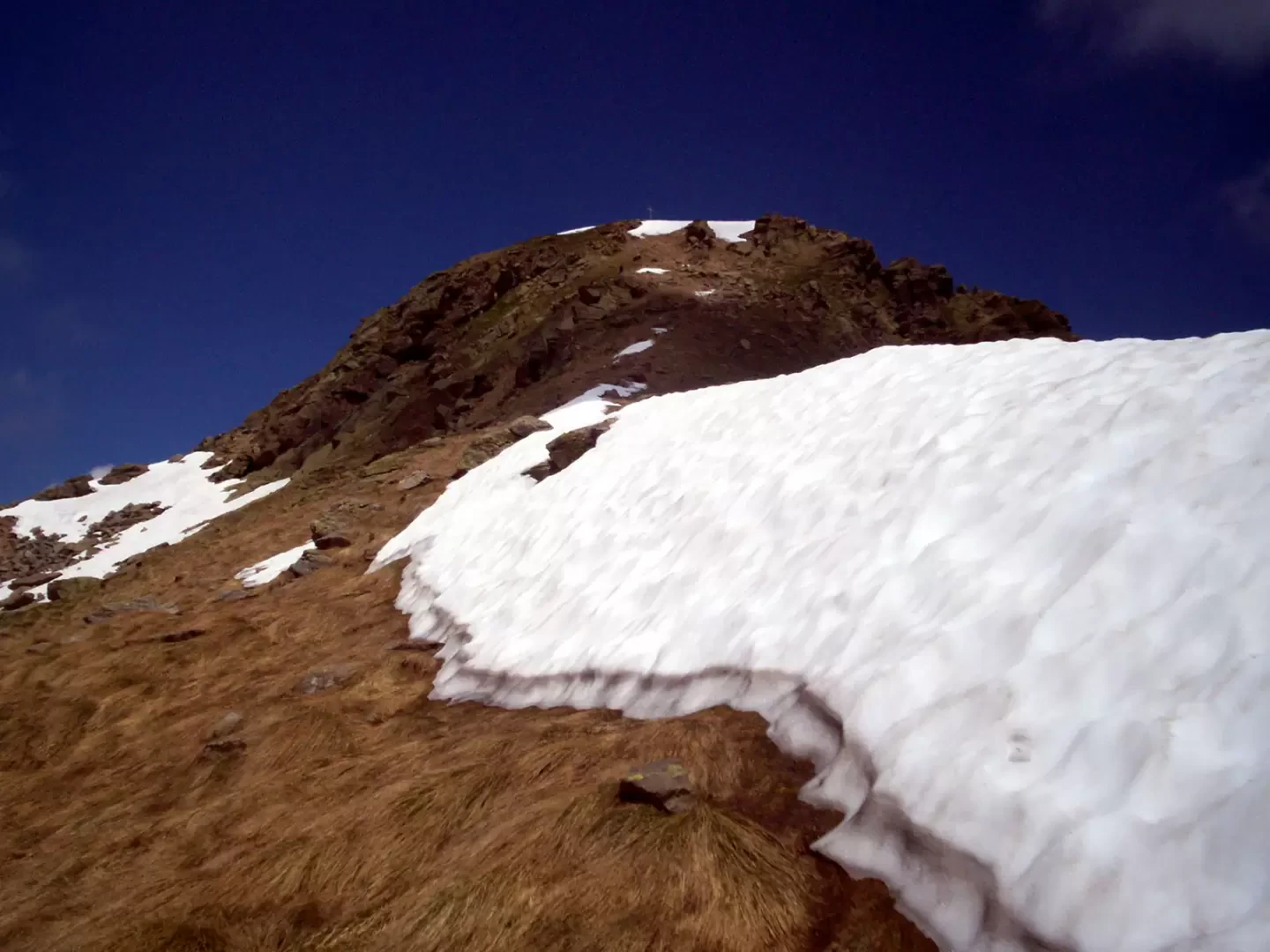
To the right of Delubro begins the wide path (signposted for Lago del Mucrone), which is followed until it crosses the junction with the path marked D14. The path begins to climb into the wood, immediately crossing the Gias Comune stream and gaining height with a series of bends. Once out of the wood, you come to the ruined alpine pastureland of Gias Comune. Leave the building on the right and, before reaching the second building, follow the red and white signs that invite you to turn left, arriving at a secondary ridge that descends directly from the south ridge of Tovo. Climb the entire ridge until you come out on the south ridge, where you turn right and ascend at a moderate gradient until you reach the summit, which you reach after a last steep climb. A high iron cross and three characteristic stone cairns stand on the summit.
More information and photos of the trip at:
http://www.biellaclub.it/turismo/escursioni/tovo/monte_tovo.html
Photo gallery
Comments (0)
Sign in to leave a comment