Monte Servin, from the Isoardi hamlet


Edited by:
Nino Malavenda
Updated at: 10/05/2026
Access
Entering Val Pellice, from Luserna S. Giovanni follow the signs for Colle della Vaccera, at the crossroads between Angrogna S. Lorenzo and the gates of Angrogna turn right and continue until just above the hamlet of Isoardi to find signs on the right for the "Rognosa" and the Ecomuseo della Resistenza, from this point the itinerary begins on foot.
Introduction
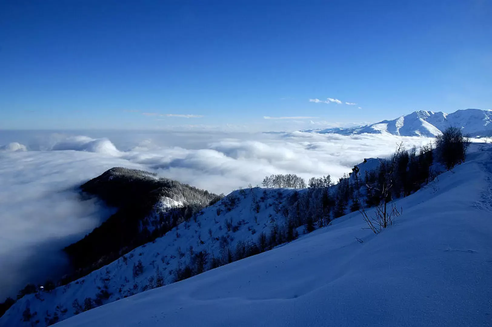
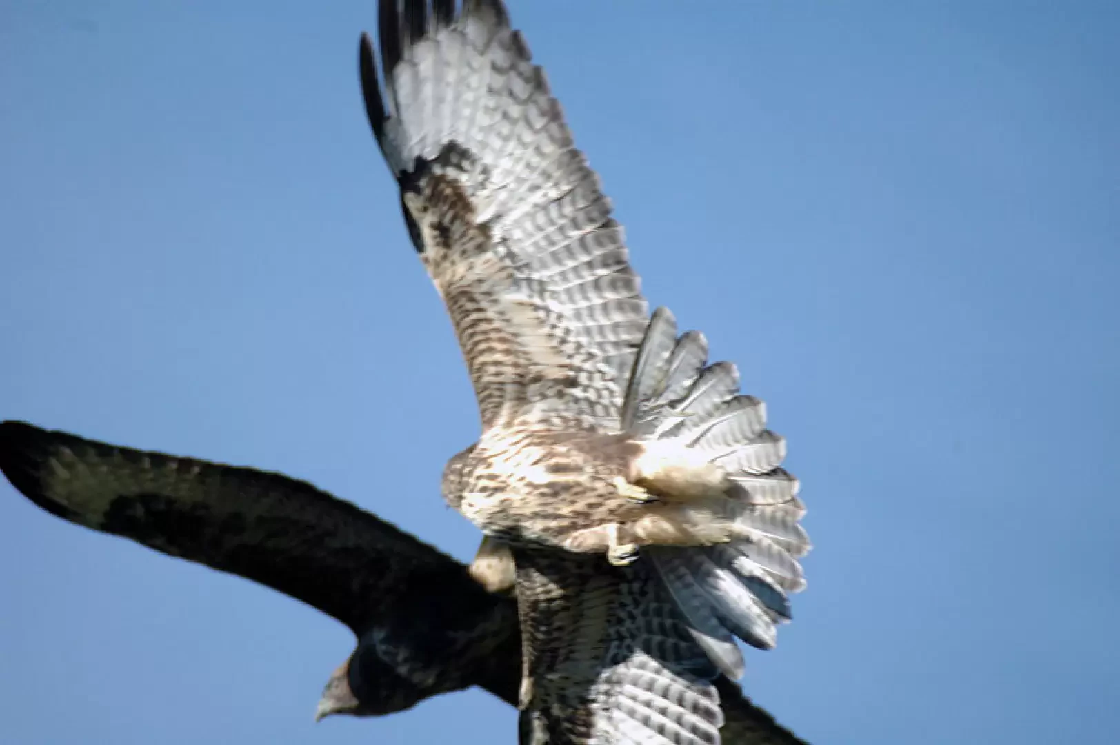
A hike with a great variety of environments and also very interesting from a historical point of view, since the first section follows the route of the ecomuseum of the Resistance. The first part in the forest allows us to encounter roe deer and foxes, while from the pass to the summit of Monte Servin, the realm of birds of prey opens up, favoured in their flight by the numerous thermal currents. Personally, I have observed up to five eagles at the same time, as well as a Short-toed eagle on the hunt, several kites and even a Griffon vulture from the summit. The Black Grouse is also present, but can only be seen in winter due to the disturbance caused by the high number of motorized vehicles at other times of the year.
Description
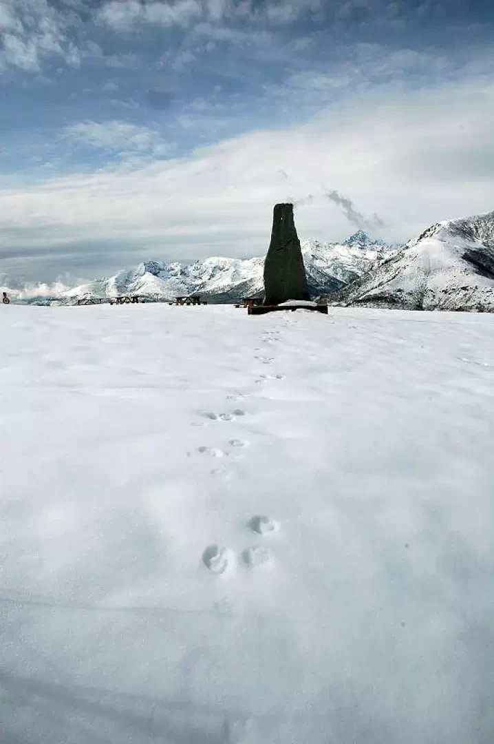
Following the wide main path that moves mainly through the forest along the Sea (ridge) of the Rognosa, there is a first slightly uphill stretch to the Rocca Rognosa (1325m) and a second more sustained climb to Monte Castelletto (1512m). Once on Monte Castelletto, you meet the old cross-country track that descends to Colle della Vaccera and the refuge of the same name. From the col, take the uphill path (yellow markings) towards the summit of Monte Servin (1756m). The descent is along the route of the ascent.
.Cartography
- Monviso, Sampeyre, Bobbio Pellice, Sheet 106, scale 1:25,000, Central Geographic Institute
- Valli di Susa Chisone e Germanasca, Sheet 1, scale 1:50,000, Central Geographic Institute
Photo gallery


Comments (0)
Sign in to leave a comment