Mount Penna, from the Penna Forest House
Access
From Rezzoaglio (which can be reached from the coast from the Chiavari motorway exit), go up to Amborzasco and beyond. You leave your car at the large car park of the Casa forestale del Penna (1387 m), where there is now a newly opened refuge.
Introduction
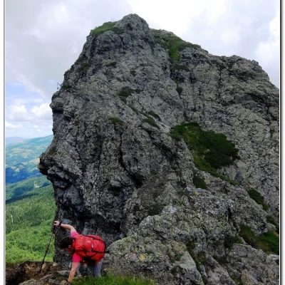
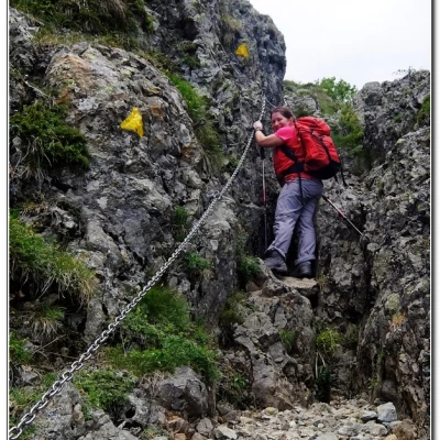
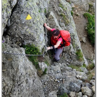
Mount Penna is a beautiful mountain in the Aveto valley, with extensive woods at its base, while at the top it appears rocky and precipitous. The ascent is along a path that, in the final part, is somewhat aerial and equipped with chains (for greater safety), but in reality without any real difficulty, being quite wide. The only caveat, logical but to be reiterated, is that it should 'only' be tackled in dry weather and in fine weather. The return, on the other hand, is quite easy, plunging once again into a dense forest. Unfortunately, the access by car is very tiring (with an endless series of bends) and long (about 2h00'), despite the brevity of the kilometres covered, a hundred or so...
Description
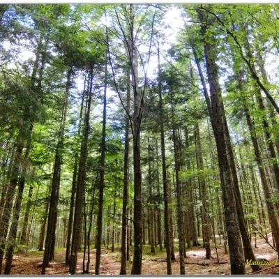
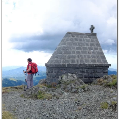
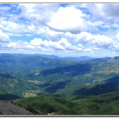
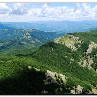
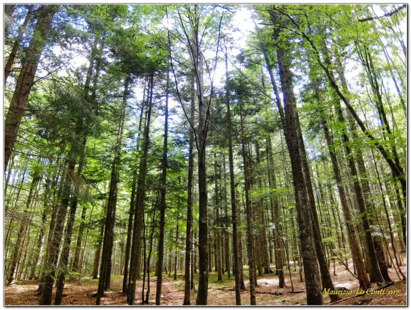
From the forecourt, go back a few metres and turn left to enter a thick forest. Turn right at a signpost for the lake and continue almost level; you will come to a ford. There are NO other signs here, and the presence of signs all the same makes you miss the diversions to the left. Wrongly, therefore, we continue straight on until we see the access road again... going back along the same route, we notice that a marking (the same as the other) goes up next to the brook and we realise that we had to take it ... finding the pond in a couple of minutes... now, instead of turning back, one continues, again with the same marker that rejoins the access road to the pond (but absolutely not visible from the outward route...). From here one goes to the right and in no time at all one sees the turnoff sign again (total diversions about 15 minutes - plus another 15' because the diversions was lost). The little Penna lake is of glacial origin and normally has a maximum depth of about 1m / 1.5m, but as the period has been dry, it is very shallow. Back on the main ascent route, we ascend the dense forest again. It is said that Ernest Hemingway, who passed through here to fish for trout, claimed it was 'the most beautiful valley in the world', hard to argue with that... You meet a couple of forks in the road and continue on, until the beginning of the difficult point (1h05 from the start). You pass the daring Torrione del Pennino and there is a beautiful view of the nearby Tomarlo mountain 1622 m. The ascent now becomes interesting (a little airy and equipped with chains, for greater safety, but in reality devoid of any real difficulty, being quite wide) and only one last passage, when you bend, suddenly, to the left is a little more difficult. It takes about 30' to reach the summit. At the summit of the Penna (1735 m), there is a statue of the Madonna, a small chapel and a lightning rod. Not far away, the flat summit of Mount Aiona and the dam on the Taro stand out, with a vast panorama.
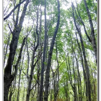
After a break at the summit of more than 1h, we set off again, immersing ourselves in a sea of trees... In 30', we arrive at the Incisa pass (where there should be a 19th century boundary stone - not seen though...) and with another 25' we return to the car (tot. retracement 55'). All in all: a beautiful, cool day for a short but intense tour, in all 2h30 A and R for 350 m of altitude difference - Diff. EE going, E coming back + all the breaks to see the various places encountered
On the way back to the car we stopped at Pasticceria Galletti (an excellence of our hinterland - Ortigaro, Favale di Malvaro tel: info@pasticceriagalletti.it ) to do some shopping... a spectacle for the palate...
Trip photos:
http://cralgalliera.altervista.org/AnelloPenna017.pdf
http://cralgalliera.altervista.org/altre2017.htm
NB: In the case of a trip, always check with FIE, Cai, any park authority or other institutions, pro loco, etc., that there have been no changes that have increased the difficulties! No liability is accepted. The present text is purely indicative and not exhaustive.
Info Hiking Section Cral Galliera: http://www.cralgalliera.altervista.org/esc.htm
Trips 2017 at link: http://www.cralgalliera.altervista.org/gite2017.pdf
