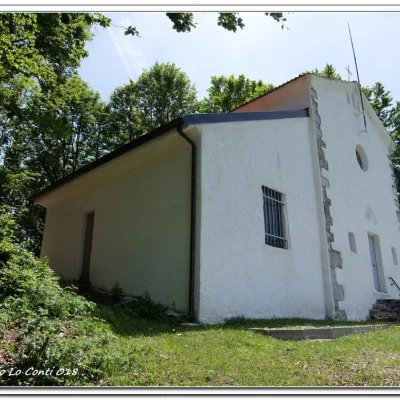
Mount Oramara and Mount Dego
Access
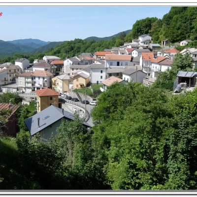
From the centre of Rezzoaglio (about 1h 30 travelling time from Genoa), at the crossroads, ignore the road on the right going up to Santo Stefano d'Aveto and turn left (towards Piacenza Marsaglia). After about 4.5 km, ignoring two other branches on the right, turn left for Alpepiana and Vicosoprano. You pass the latter village and park in a clearing on the right, near a small fountain of the State Forestry Corps dating from 1954 (another 6.5 km - 1091 m - about 25' from Rezzoaglio, the road is narrow!).
Introduction
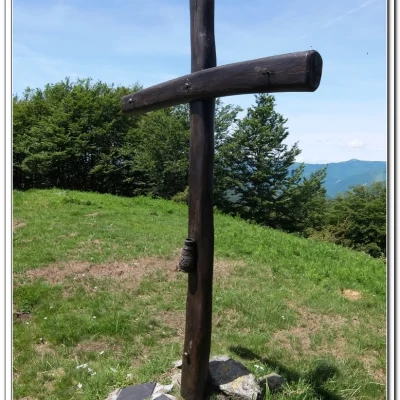
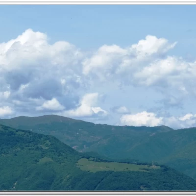
The peak of Oramara (1522 m) is a mountain in the Ligurian Apennines and is the highest in the left-hand watershed of the Aveto valley; it is not a very extensive vantage point, but Mount Lesima (1724 m) and Mount Alfeo (1650 m) stand out towards the interior. Not far away is Mount Dego (1427 m), where there is a small church dedicated to the Immaculate Virgin Mary by soldiers of the Great War. The proposed excursion is a pleasant walk that follows part of the ancient medieval route between the Aveto Valley (Alpepiana - Vicosoprano area) and the Trebbia Valley (Ottone).
Description
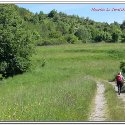
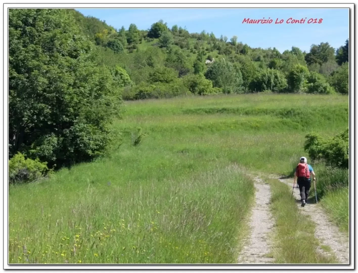
You ascend an asphalt lane that then becomes a dirt road, ignore a branch-off to the right and continue on the 'consortium road'; this is the easiest and shortest approach to Monte Oramara, but for a long stretch it is unmarked. Given the season, the meadows are pleasantly blooming. Continue straight ahead, leaving out two forks on the left that lead to small pools of water. We reach the Bocca della Selva (1294 m), where we enter the forest on the northern slope (50'). In 25', you cross the Cai trail sign coming from Connio delle Cascine. The wide track ascends, partly obstructed by the many branches that have fallen during the winter. After 10', a signposted diversions climbs to the left between the trees (to the right is the route that will be taken on the return journey), then flattens out to the left, but the path abandons after a short steep descent (just a few metres) to turn right with notches that are not very evident and fallen branches that make it difficult to get past the point Immediately afterwards, the path bends to the right and climbs up through the forest to the summit (30')... It takes about 1h45/2h to get there. From there, continue along the ridge, but it is a bit... aerial... you will notice on the right that just below there is a track going downhill; take it (no markings) and you will come out on a wide track (15' ) where you will find the Fie symbols. Here you turn right and in about 10' you join the return Cai path. You continue straight ahead, almost level, and in 20' you join a dirt road. Now keep to the right and in 5' you are at the sacred building (approx. 2h 45 tot.). The place is pleasant with a discrete panorama...
After the break, retrace your steps to the grassy saddle where the Cai (Italian Alpine Club) posts are located ( 25' ). Turn left, but if one were to go right for the Foppiano Refuge bivouac, it would be difficult because the junction is not marked and the Fie symbols are a little faded... The north side of Mount Oramara is thus cut. In about 10 minutes, the morning crossroads for the summit can be seen again and from here the outward journey can be retraced... Ten minutes and the red-white Cai is left behind, which slopes to the left. In 1h, you return from the car park where the car awaits (1h45 tot return).
More than decent weather. All in all: Height difference + 450 m Dif. T/E approx. 4h30 Tot. + all the breaks x see the various places you encounter.
Photo file pdf:
http://cralgalliera.altervista.org/VicosopranoOramaraDego018.pdf
Other trips 2018:
http://cralgalliera.altervista.org/altre2018.htm
http://cralgalliera.altervista.org/anno2018.htm
Previous excursion in the area:
http://www.cralgalliera.altervista.org/AnelloMontarloneTraAlpepianaLovari.pdf
single photos at the 6th line http://www.cralgalliera.altervista.org/altre2017.htm
NB: in case of an excursion, always check with FIE, Cai, any park authority or other institutions, pro loco, etc., that there have been no changes that have increased the difficulties! No liability is accepted. This text is purely indicative and not exhaustive.
Info Hiking Section Cral Galliera: http://www.cralgalliera.altervista.org/esc.htm
trips 2018 at the link: http://www.cralgalliera.altervista.org/gite2018.pdf
General information
Tour:
Signposts: Trails with partial Fie and Cai markings
Tour type: direction and return, partially circular in one short section
Recommended period: May, June, September, October
Sun exposure: south
Objective danger:none
Exposed sections:none
Useful equipment:normal daily hiking equipment
Water: nr
Foto file pdf:
http://cralgalliera.altervista.org/VicosopranoOramaraDego018.pdf
Altre gite 2018:
http://cralgalliera.altervista.org/altre2018.htm
http://cralgalliera.altervista.org/anno2018.htm
Precedente visita in zona:
http://www.cralgalliera.altervista.org/AnelloMontarloneTraAlpepianaLovari.pdf
foto singole alla 6 a riga http://www.cralgalliera.altervista.org/altre2017.htm
NB: in caso di gita, verificare, sempre, con FIE, Cai, eventuale Ente parco o altre Istituzioni, pro loco, ecc., che non ci siano state variazioni che abbiano aumentato le difficoltà! Si declina ogni responsabilità. Il presente testo ha solo carattere puramente indicativo e non esaustivo.
Info Sezione Escursionismo Cral Galliera: http://www.cralgalliera.altervista.org/esc.htm
gite 2018 al link: http://www.cralgalliera.altervista.org/gite2018.pdf
Informazioni generali
Via:
Segnavia: sentieri con parziale marcatura Fie e Cai
Tipologia percorso: andata e ritorno, parzialmente circolare in un breve tratto
Periodo consigliato: maggio, giugno, settembre, ottobre
Esposizione al sole: sud
Pericolo Oggettivo: nessuno
Tratti esposti: nessuno
Attrezzatura utile: normale attrezzatura da escursionismo giornaliero
Acqua: nr
