Monte Giarolo, from the Monte Gropà chairlift
Access
From the Vignole tollgate, head up the Val Borbera to Pertuso, where you turn left for Dernice and the Val Curone. Shortly after, at a fork in the road, turn right for Caldirola. When you reach Garadassi, turn right and go up to Caldirola, where you continue briefly to Villaggio La Gioia and Camping Lino (about 35 km from the tollbooth).
Introduction
The present excursion reaches Monte Giarolo (1473 m), which is a meadow dome that divides Borbera and Val Curone as the last prominent buttress and rises in a position from which one can observe, with a clear sky, the Po Valley, the Ligurian Sea and the distant Alpine arc... We also visit the Orsi refuge 1397 m; it is a pity that the structure cannot be reached by phone...
Description
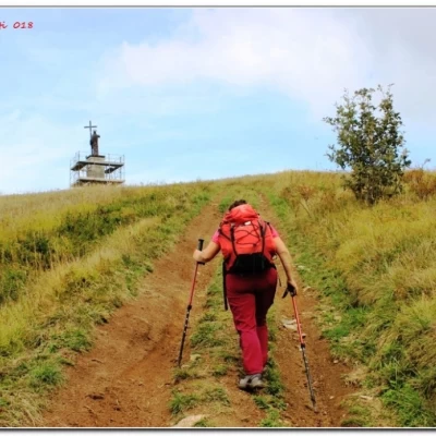
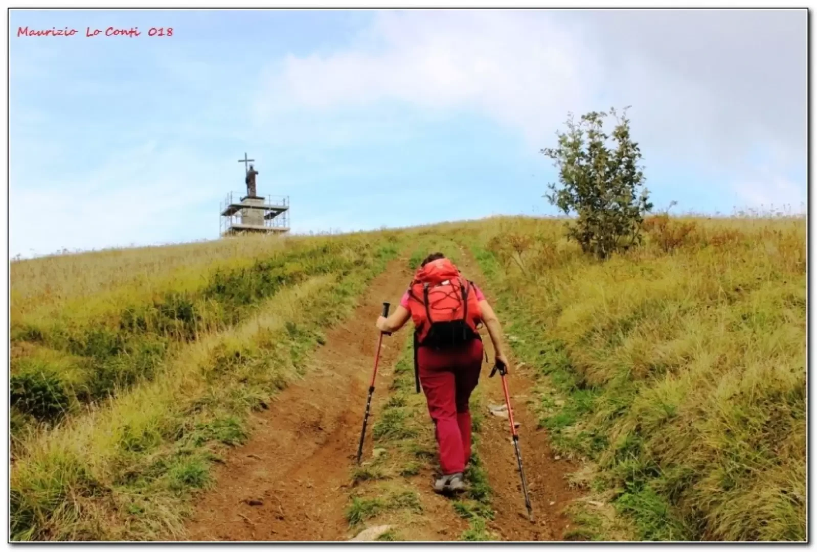
We descend from the chairlift (alternatively, from Caldirola we can climb to the summit along the Cai path; +1h00' +450 m asl) and in 30', with ups and downs, we are on the summit of Monte Giarolo; it is a pity about the poor visibility conditions due to the clouds present.
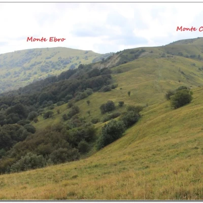
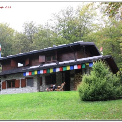
After a break, to scan the surroundings, we continue today's hike towards the Bruciamonica Pass (1394m). Particular attention must be paid to cyclists on this stretch of ridge, near Gropà, as there are five tracks and in some places they intersect the path for hikers... There is a very short, but very steep ascent to Mount Panà 1562 m, from which there is an excellent panorama (1h10). Along the ridge, there is a signposted diversions downhill to the left (5'). One plunges into a dense forest and thus arrives (30') at the beautiful Orsi hut 1397 m, rebuilt in 2004 (total time 2h15).
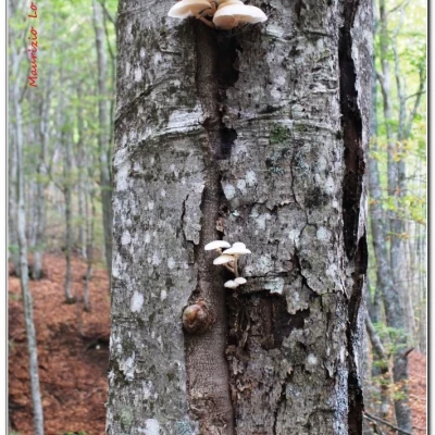
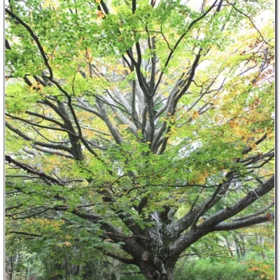
After a picnic break, one sets off again, still crossing the beech forest. There are a few ups and downs along a clearly marked path.
The route (1h10) ends where the asphalt road ends. Continue to descend until you reach the morning crossroads that leads back to the chairlift car park (20' - tot retrace 1h30).
General information
Trail:
Signposts: Trails with CAI markings
Type of route: partially circular
Recommended period: April, May, June, September, October
Exposure to sunlight east
Objective Danger:none
Exposed Tracts:none
Useful Equipment:normal daily hiking equipment
In short: Weather cloudy, especially in the afternoon; not hot (indeed cool on ridges), but damp. Dif. T/E - 3h45 Tot - approx. +300 m -700 m asl.
If you wish, here is the photo pdf file, with some other news:
http://cralgalliera.altervista.org/Caldirola018.pdf
NB: in case of an excursion, always check with FIE, Cai, eventual Park Authority or other Institutions, pro loco, etc., that there have been no changes that have increased the difficulties! No liability is accepted. The present text is purely indicative and not exhaustive.
Info Hiking Section Cral Galliera: http://www.cralgalliera.altervista.org/esc.htm
Trips 2018 at link: http://www.cralgalliera.altervista.org/gite2018.pdf
