Monte Foppa, from Carnale

Edited by:
Marco Bonati
Updated at: 05/08/2024
Access
From Milan to Sondrio along state roads 36 and 38; at the roundabout at the entrance to the town turn right and continue as far as the traffic lights at the Questura. Turn left and, along the main road, head for the ascent of contrada Colda towards Montagna in Valtellina; by now on the provincial road 'Panoramica', follow it as far as the traffic lights indicating the town hall on the left: from here begins a very long series of hairpin bends which, through the districts of Paini, Benedetti, San Giovanni and others, leads to Maggengo di Carnale. At the end of the asphalt road, continue for a few hundred metres on a dirt track until the ban on unauthorised traffic. There are a few parking spaces at the side of the road.
Introduction
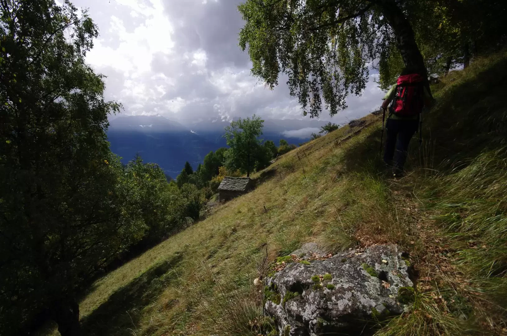
Mount Foppa - a destination scarcely known except locally - constitutes the last and lowest peak of the coastline that has its summit in Pizzo Scalino and continues with Mount Acquanegra, Mount Cavaglia and Mount Palino, dividing the Valmalenco from the less touristic Val di Togno. The peak is recognisable from Sondrio, and especially at night, due to the presence of a commemorative cross with a lighthouse. This area, affected on the western slope by centuries-old landslide movements renewed in the 1960s and with the 1987 flood, at first long abandoned by the shepherds, enjoyed in the early 1990s a restoration of the trails for geological monitoring purposes. At present, one encounters again some orientation problems, especially on the descent: it is advisable to build up cairns of stones to help one regain direction (beyond Alpe Castellaccio, the signs become much more sparse, and then disappear where it is least convenient). Great views of the Valtellina, the Orobie and the Disgrazia group. Strong probability of encountering deer and chamois.
.Description
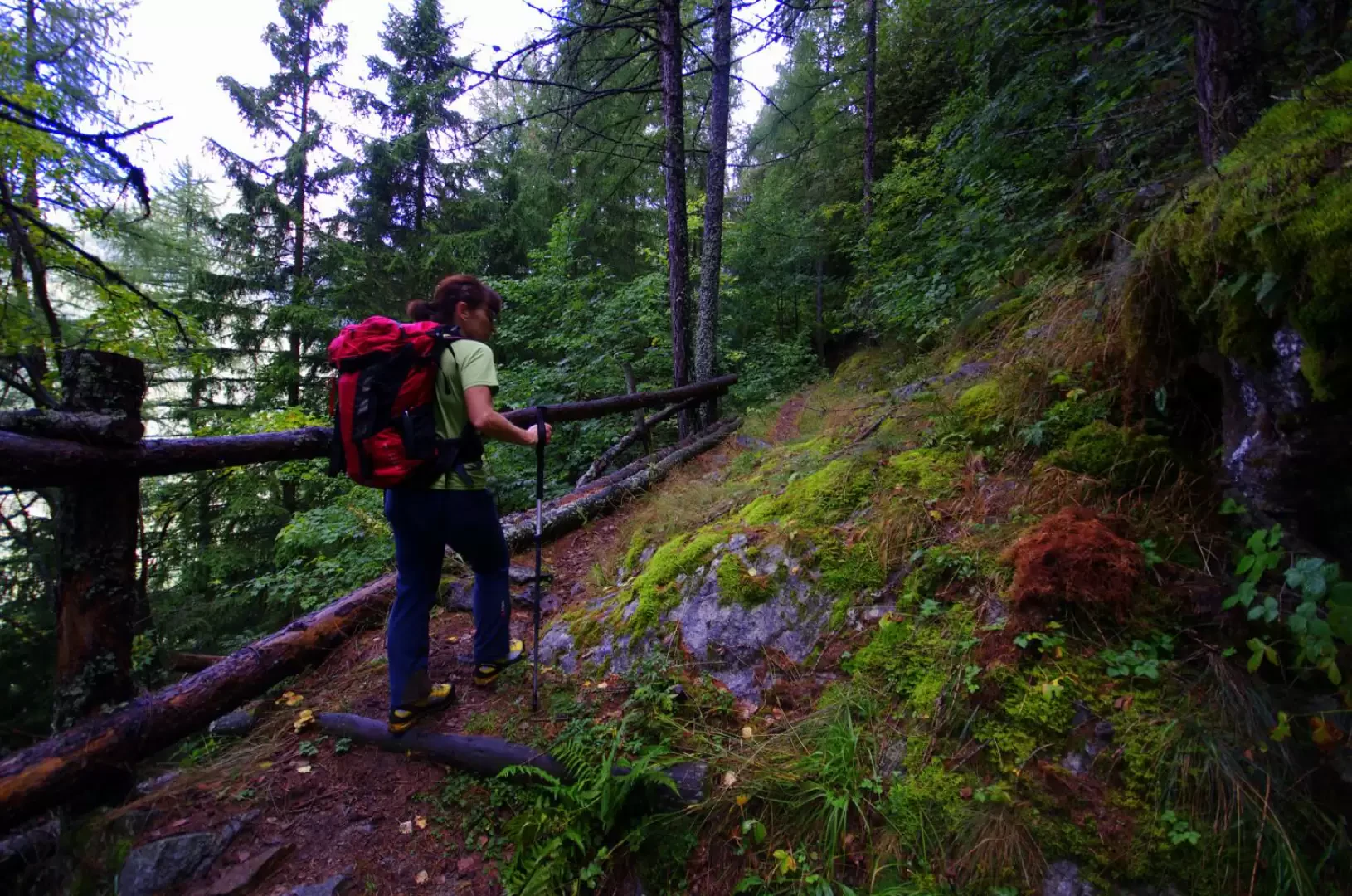
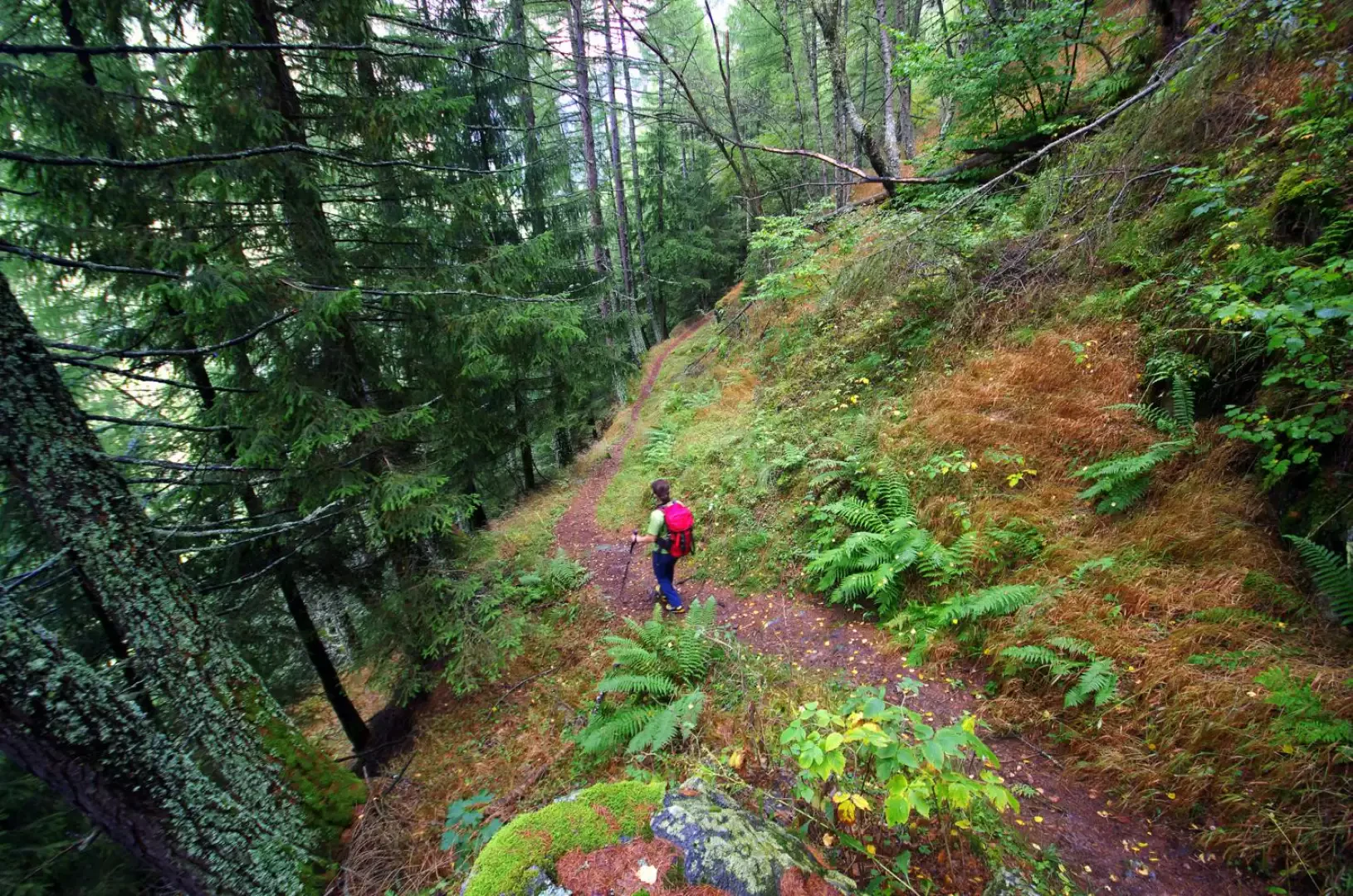
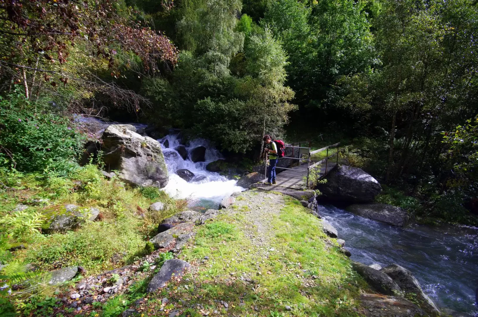
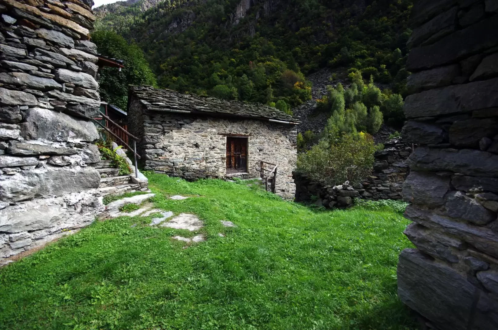
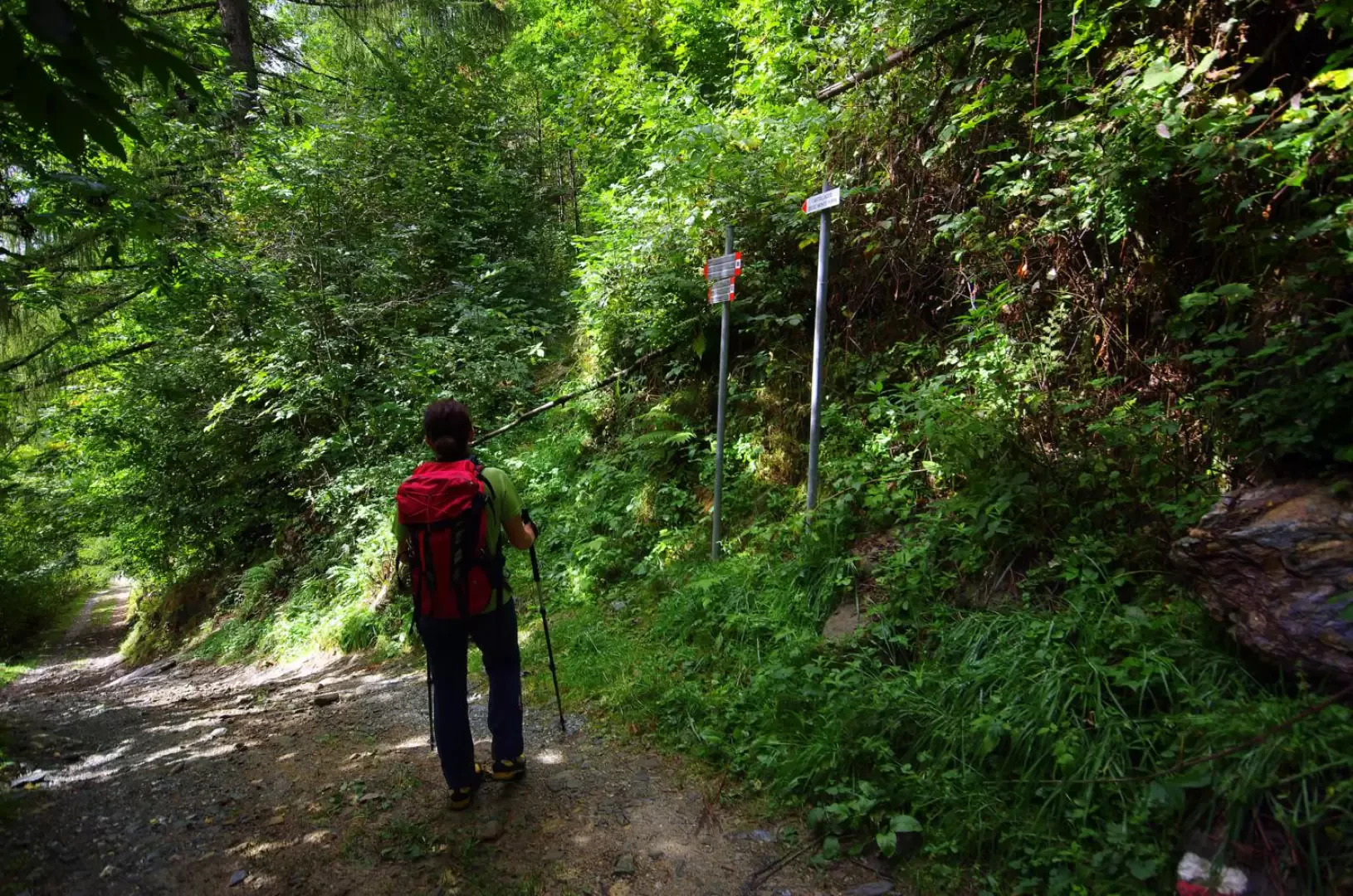
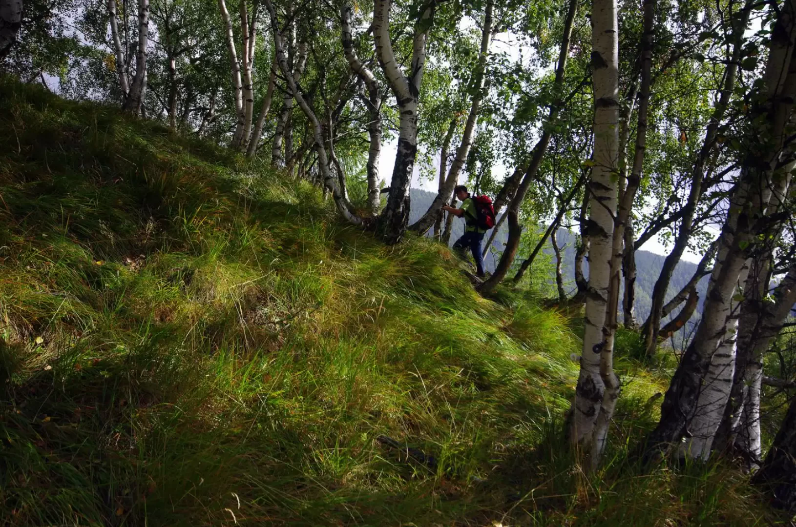
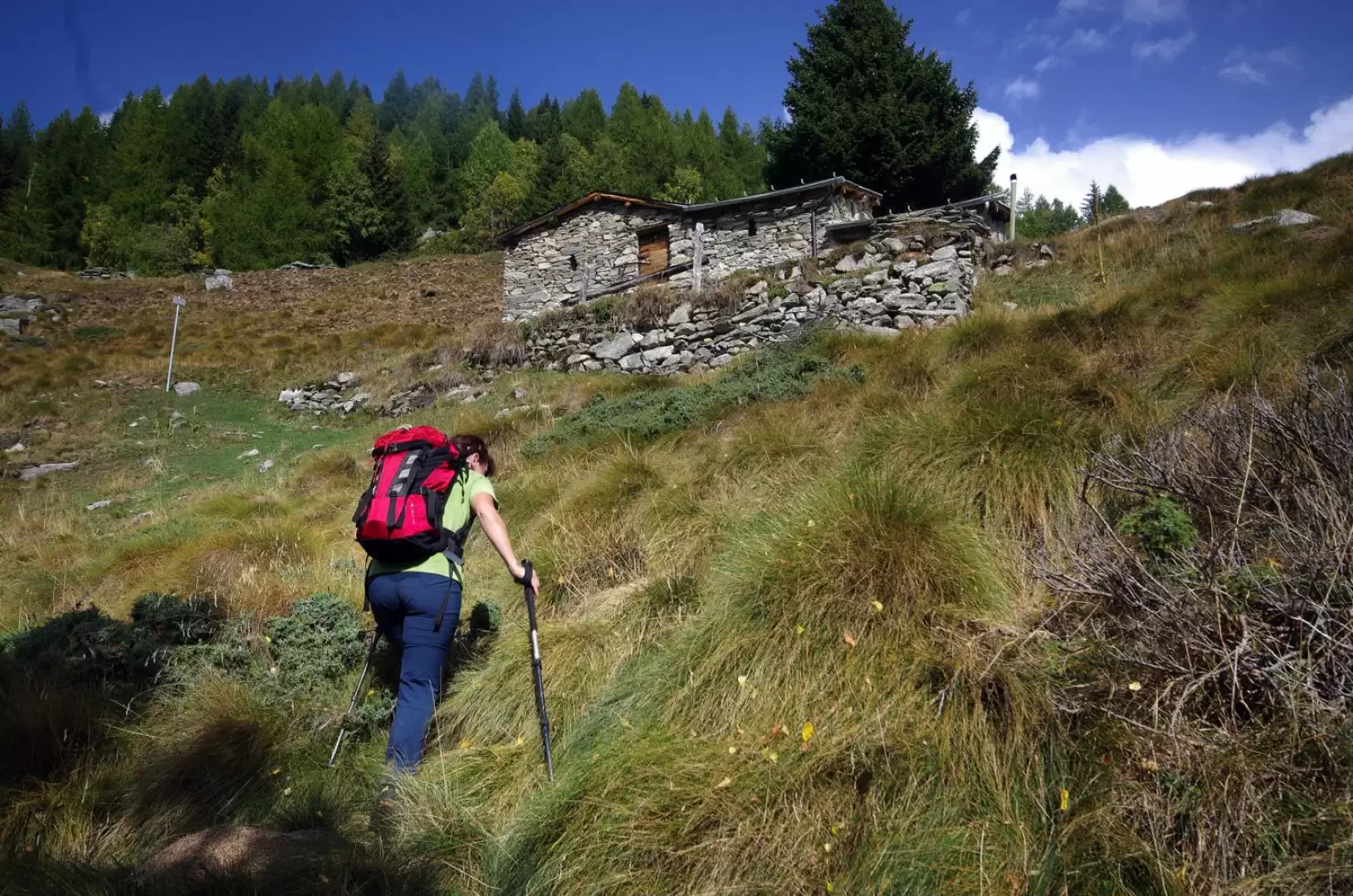
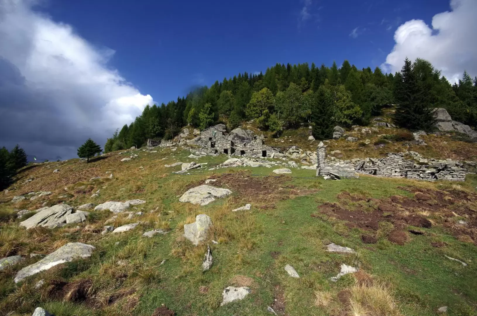
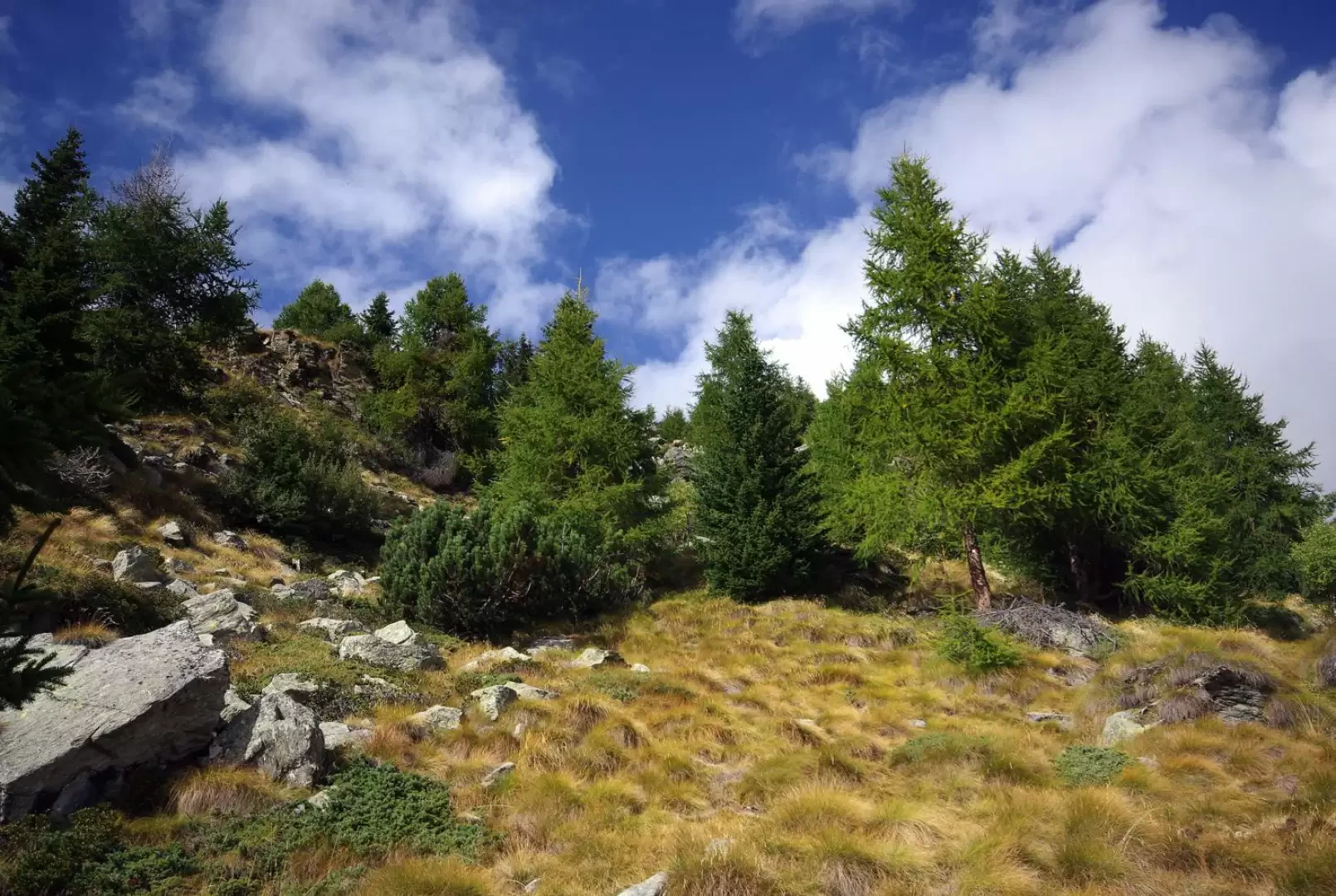
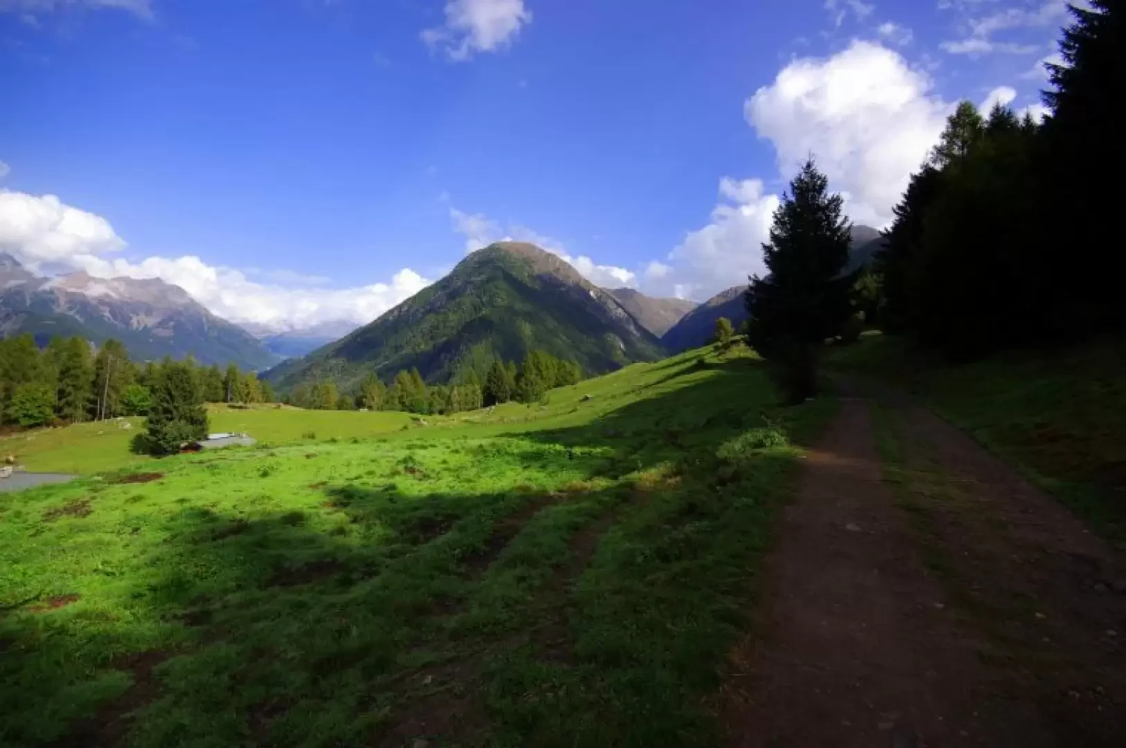
From Carnale 1219m, continue along the forest track, which is forbidden to unauthorised persons and which, after a few bends between mountain huts, heads into a dense fir forest, becoming a path. Following the signs for Val di Togno, we set off along a charming up-and-down hillside towards the interior of the valley; the slope is very steep but the path is well marked and protected where necessary. A steep descent finally leads to crossing the Antognasco stream just a few steps before the Val di Togno hut (former Guardia di Finanza barracks) and the huts surrounding it 1317m. Passing behind the hut, one crosses a small stream and ascends to a forest track, which one follows to the left, until one reaches a post at a poorly maintained path. Go up it along steep hairpin bends until you sight the few constructions of an alpine pasture: without reaching them, take a wider and more frequented path to the left; continuing on the level, you will find a second marker: turn right and begin the long ascent on easy hairpin bends through the dense wood that ends in the clearing of Prato 1668m (Alpe Costa on the map). Again uphill into the sparser woodland and following a small aqueduct pipe, along the ridge straddling Valmalenco and Val di Togno, you reach the beautiful terrace of Alpe Castellaccio 2003m; near the only partially restored hut, a post indicates the direction for the Croce del Monte Foppa. From here, the track begins to become of poor quality and then disappears in places and blends in with the passages of the numerous chamois. The few stretches of paint and a few signs nailed to tree trunks (supplemented by a few cairns) point to the wide ridge, which becomes steeper and steeper and covered with rock blocks. By now, well within sight of the summit cross, the slope decreases, but the progression becomes more tiring and treacherous: the blocks - many unstable - conceal holes through which it is necessary to climb. You soon reach the base of the cross of Monte Foppa 2444m. In reality the real summit is only a few tens of metres away, highlighted by a simple cairn of stones, not visible from Sondrio.
Return along the outward route.
Galleria fotografica