Monte delle Forbici, from Campo Moro


Edited by:
Marco Bonati
Updated at: 27/05/2025
Access
From Milan to Sondrio along state roads 36 and 38; at the roundabout at the entrance to the town, turn left in the direction of Valmalenco and drive through the valley to the Campomoro dams. Ample parking spaces.
Introduction
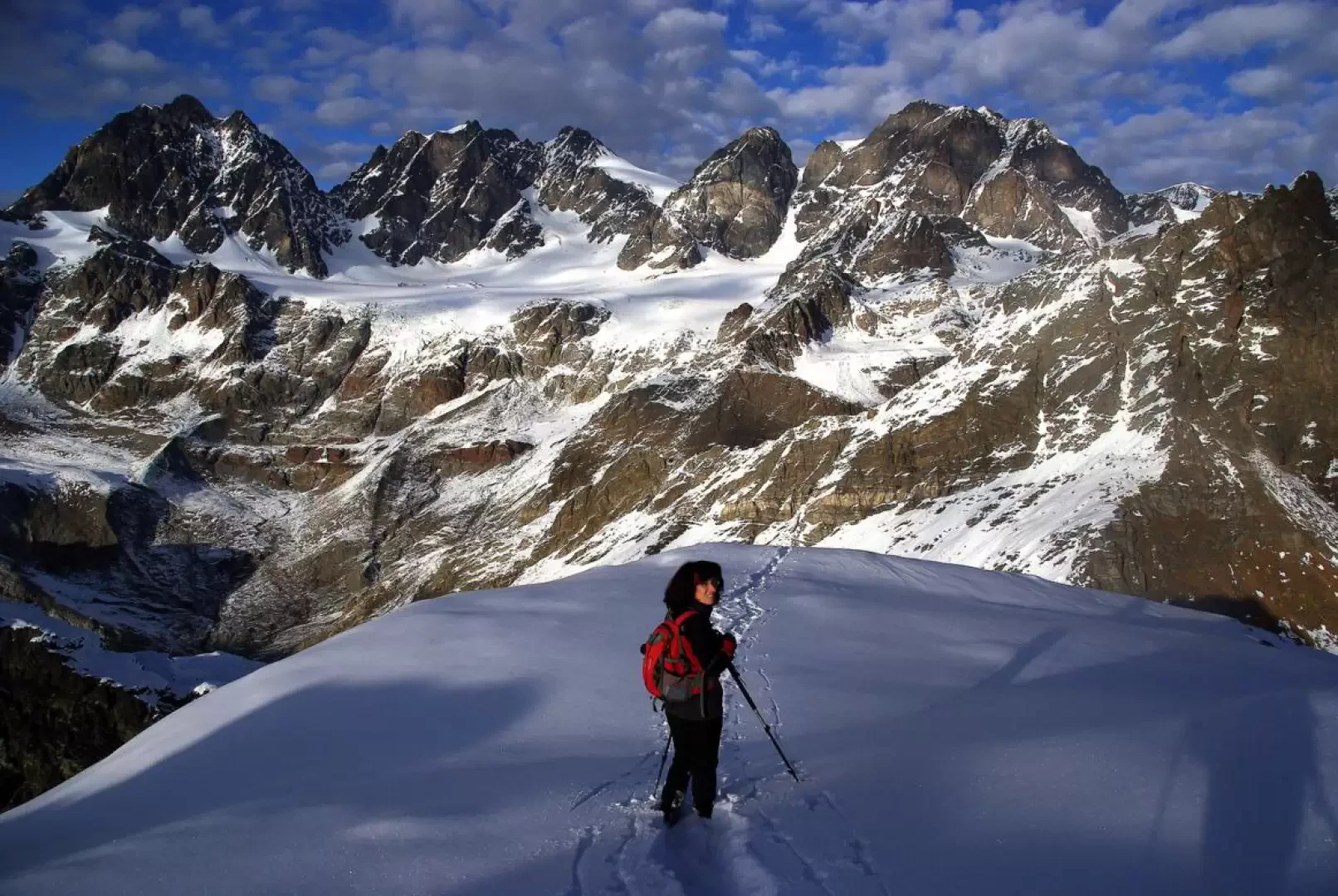
A hike of exclusive panoramic interest: the altitude and the isolated position of the summit allow a wide view of all the mountains of Valmalenco and beyond; it also dominates all the ski slopes of Chiesa - Palù - Caspoggio. Excellent views of the valley's alpine support buildings: Rifugio Marinelli, Rifugio Marco e Rosa, Bivacco Parravicini and Bivacco Colombo.
.Description
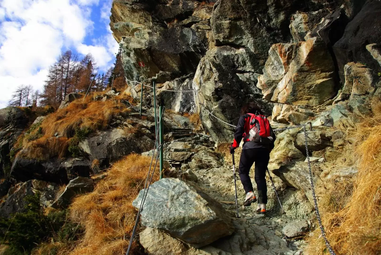
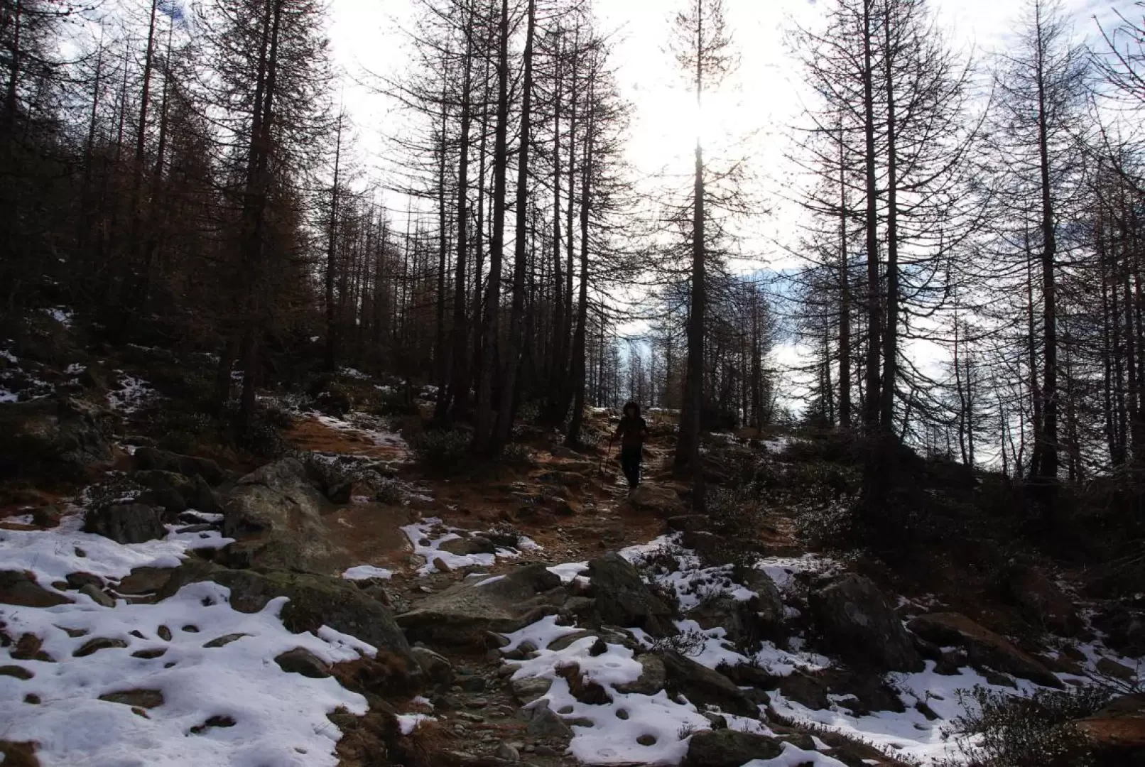
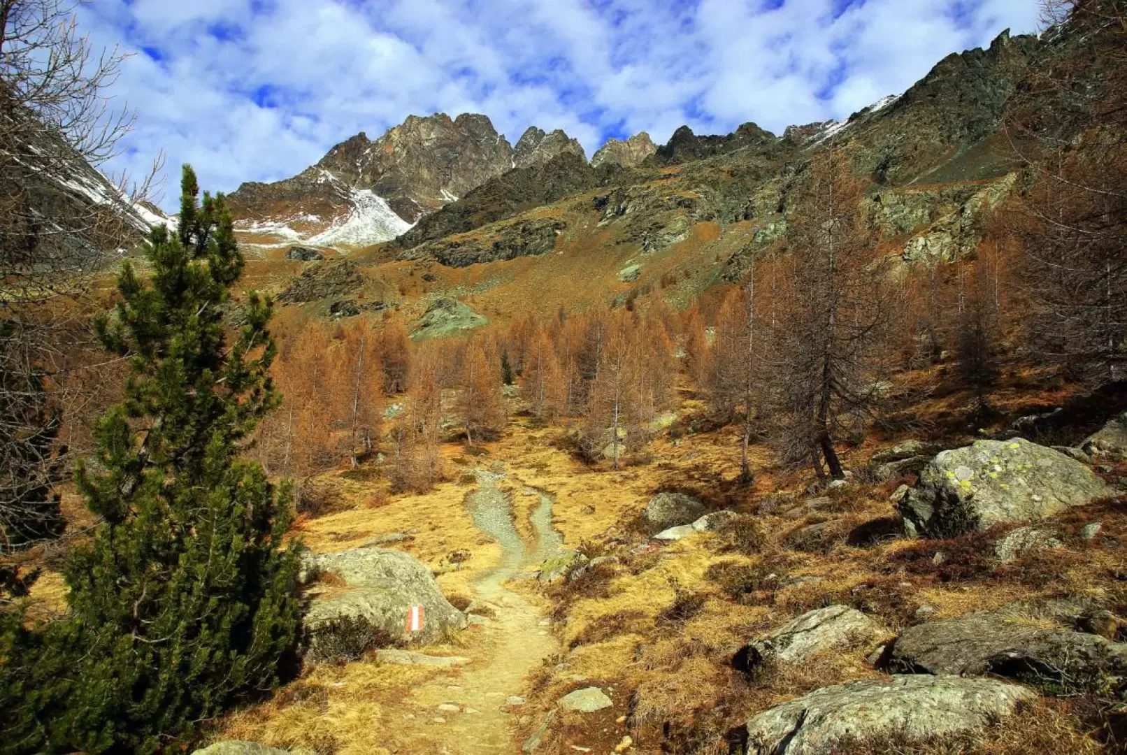
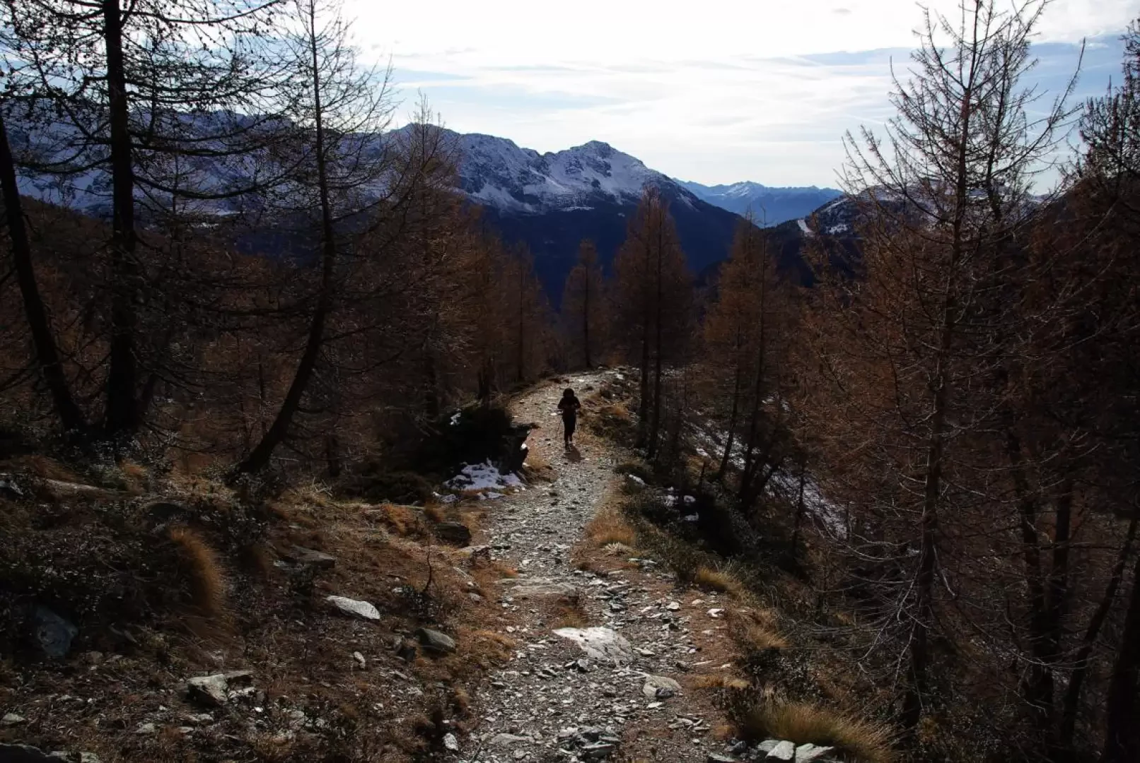
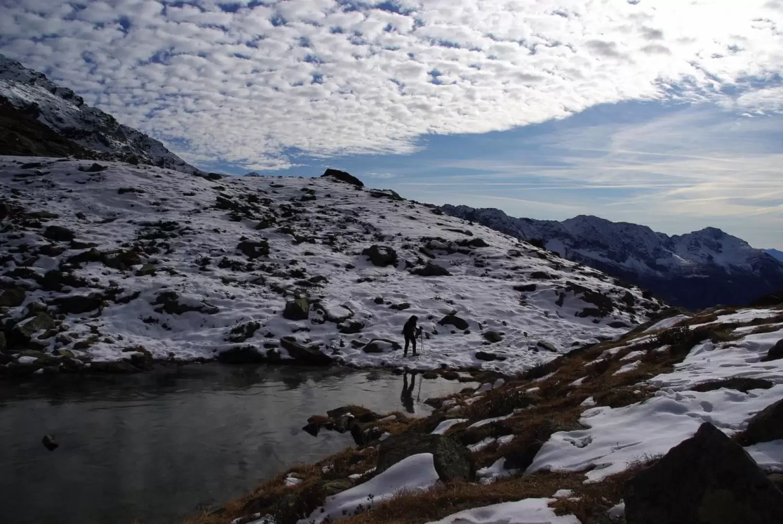
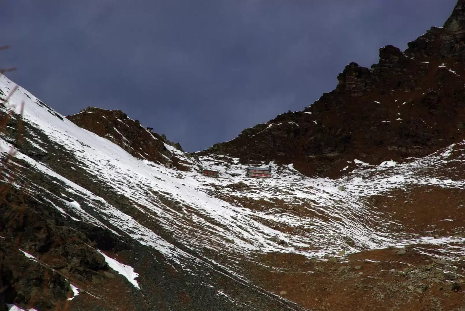
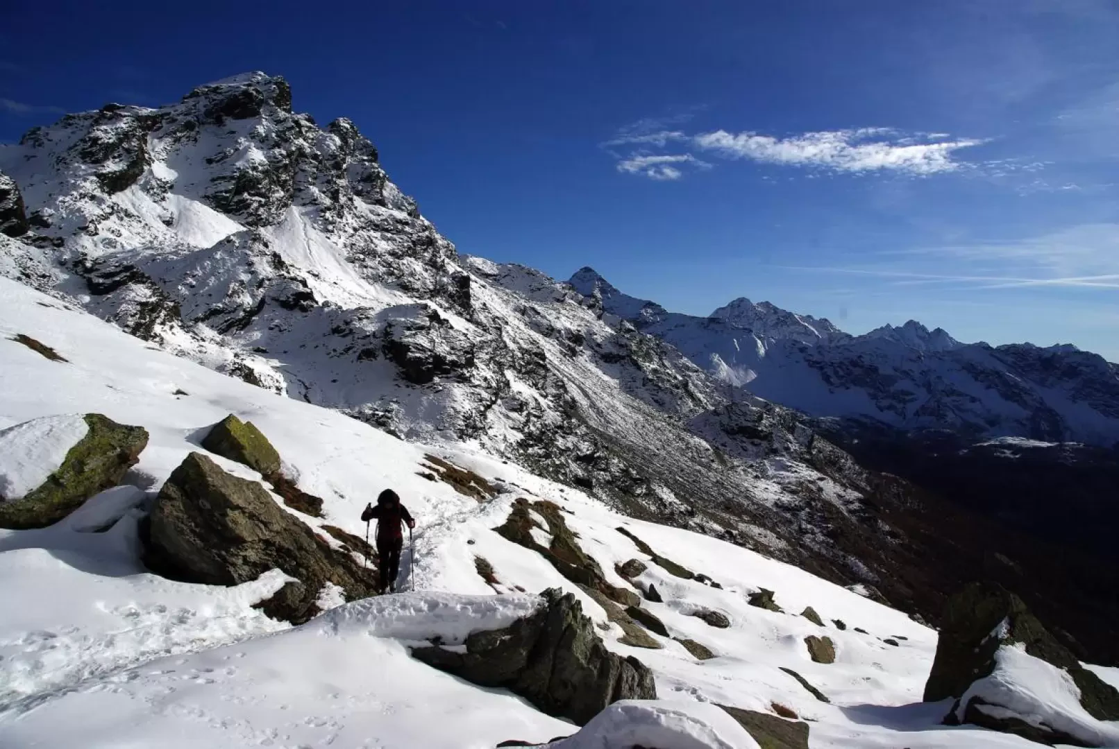
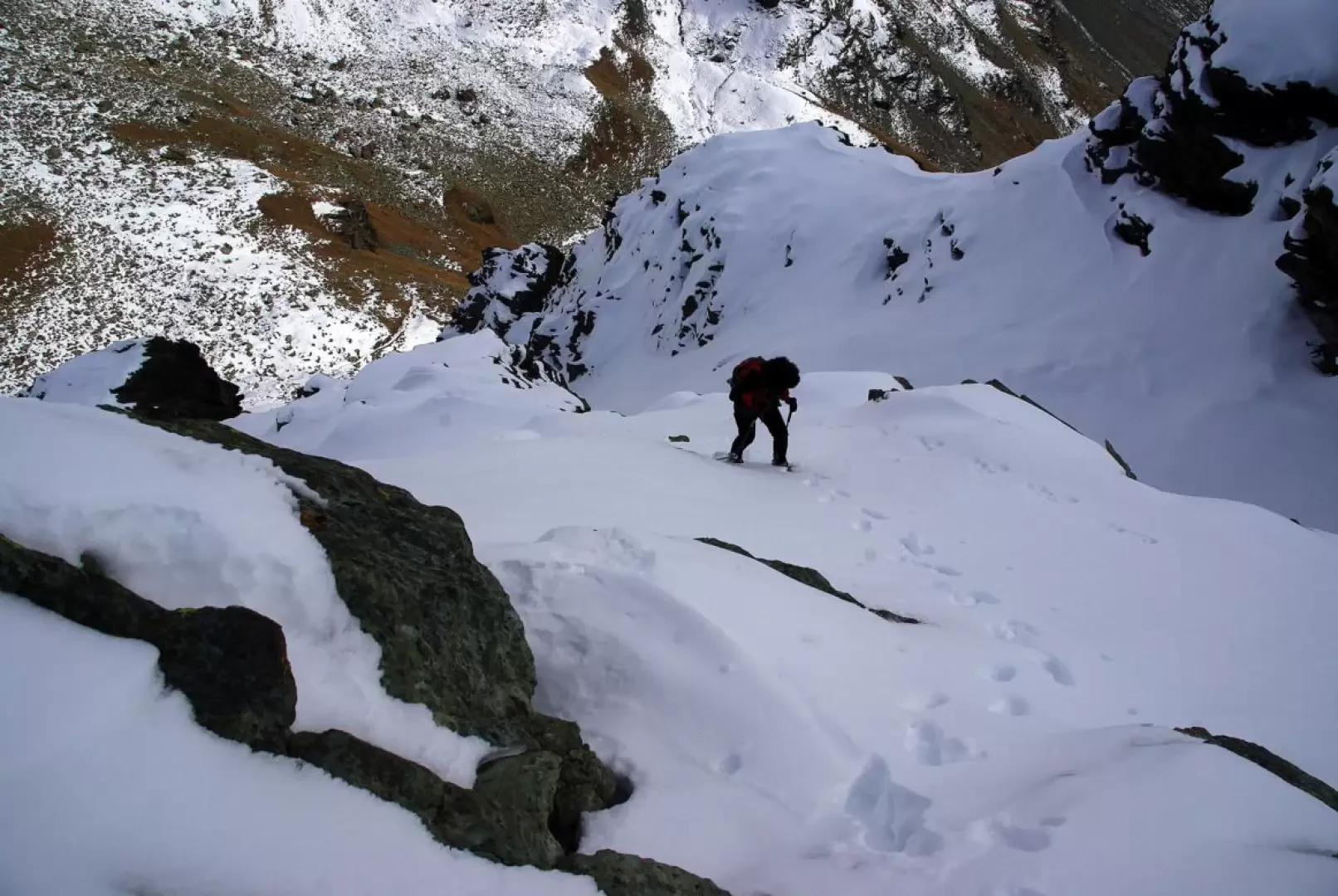
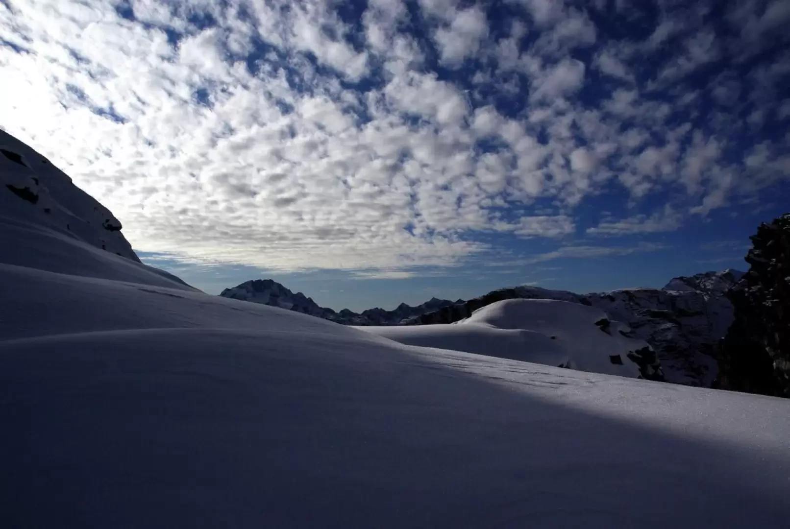
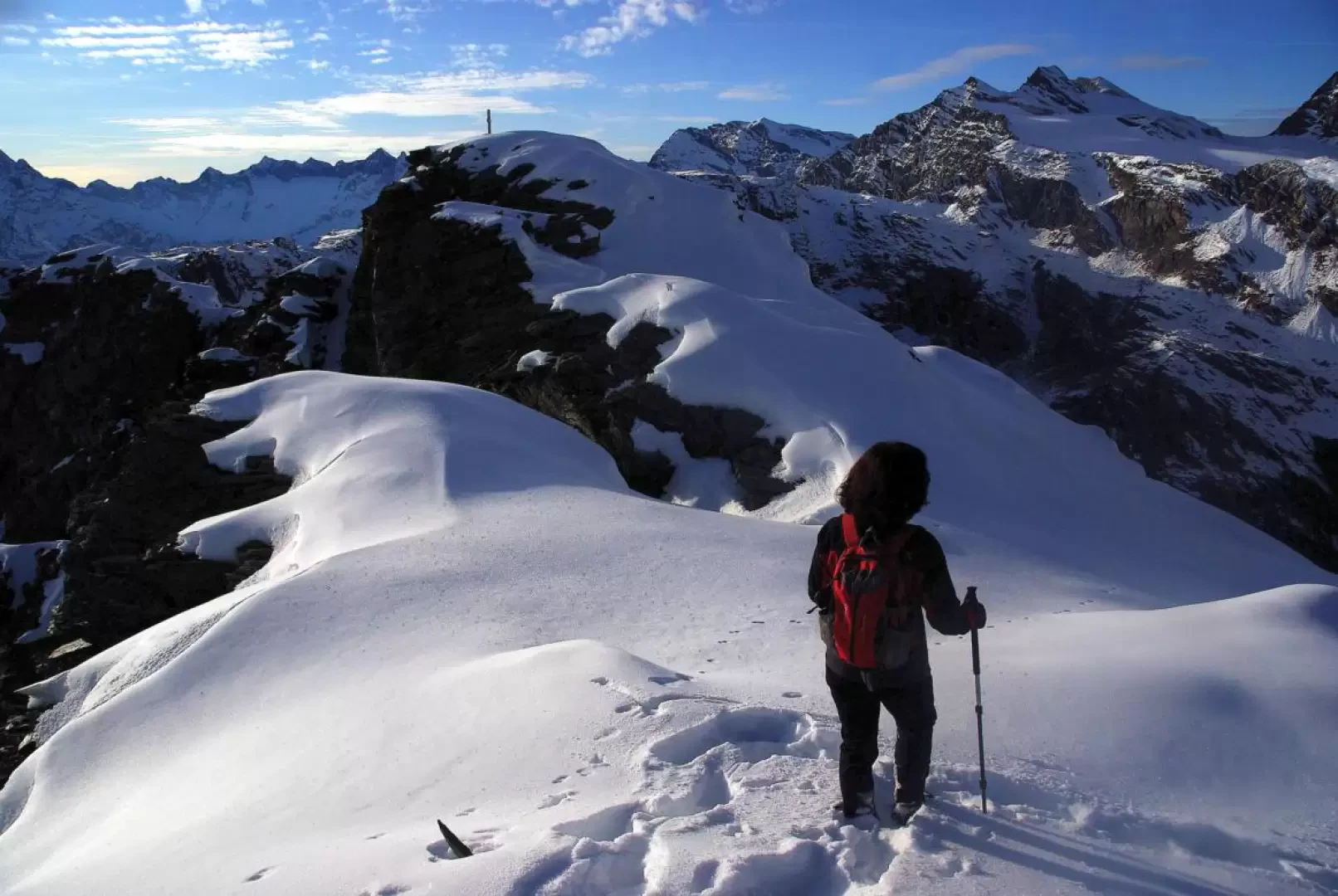
From the car park at Campomoro 1990 m, descend to cross the first dam along its upper crest and, having passed the guardians' house, take a shady track to the left that descends to the base of the 1934 m high wall. Opposite, the well-marked access path to the huts climbs up (caution: with snow, the handrails are removed or loosened); with a traverse and steep turns between ledges in the sparse larch forest, it climbs up to a wooded knoll. From here, the straight path on a false plain approaches at length the Sette Sospiri (Seven Sighs): this is the name of a series of moraine crags that end - after also passing a small lake - at the Rifugio Carate (Carate Hut) 2636 m, located at the foot of the rocky Cime di Musella and at the base of the gully adducting the Bocchetta di Fellaria (on the route of a variant of the Alta Via della Valmalenco). Without ascending to the nearby Bocchetta delle Forbici, from the hut, turn immediately left following the obvious signs; flanked by two service buildings, the trail climbs to a knoll overlooking the Vallone di Scerscen below: one of the most celebrated views in the Bernina group. Continue between gravel and rocky ledges on the steep ridge above, which, climbing parallel to a deep gully, allows you to reach the northern crest of the mountain. Follow it to the left between depressions and boulders; once you reach a rounded summit - through a narrower and more exposed ridge passage - you will reach the summit cross of Monte delle Forbici 2910 m.
[In the presence of snow - which must in any case be very well settled along the entire route from the refuge - it may be prudent to end the excursion at the summit because of the formation of a voluminous cornice just below the peak].
Return along the outward route.
General information
Tour:North Ridge
Type of route: a/r
Recommended period:June, July, August, September, October
Exposure to the sun: north-east
Equipment: possibly crampons
Photo gallery
Comments (0)
Sign in to leave a comment