Monte Bassetta, from Cino

Edited by:
Marco Bonati
Updated at: 03/09/2024
Access
From Milan to Rogolo along state roads 36 and 38; turn left towards Mantello and, having crossed the Adda, at the roundabout near the bridge, take the provincial road for Cino. At the western edge of the village, a sign indicates the diversions to Alpe Piazza. Parking must be sought in the various small areas available in the village. It is possible to continue by car to Alpe Piazza, subject to payment of a pass available at the municipal offices on weekdays or in public places. (It is best to enquire in good time as there are no signs on site).
.Introduction
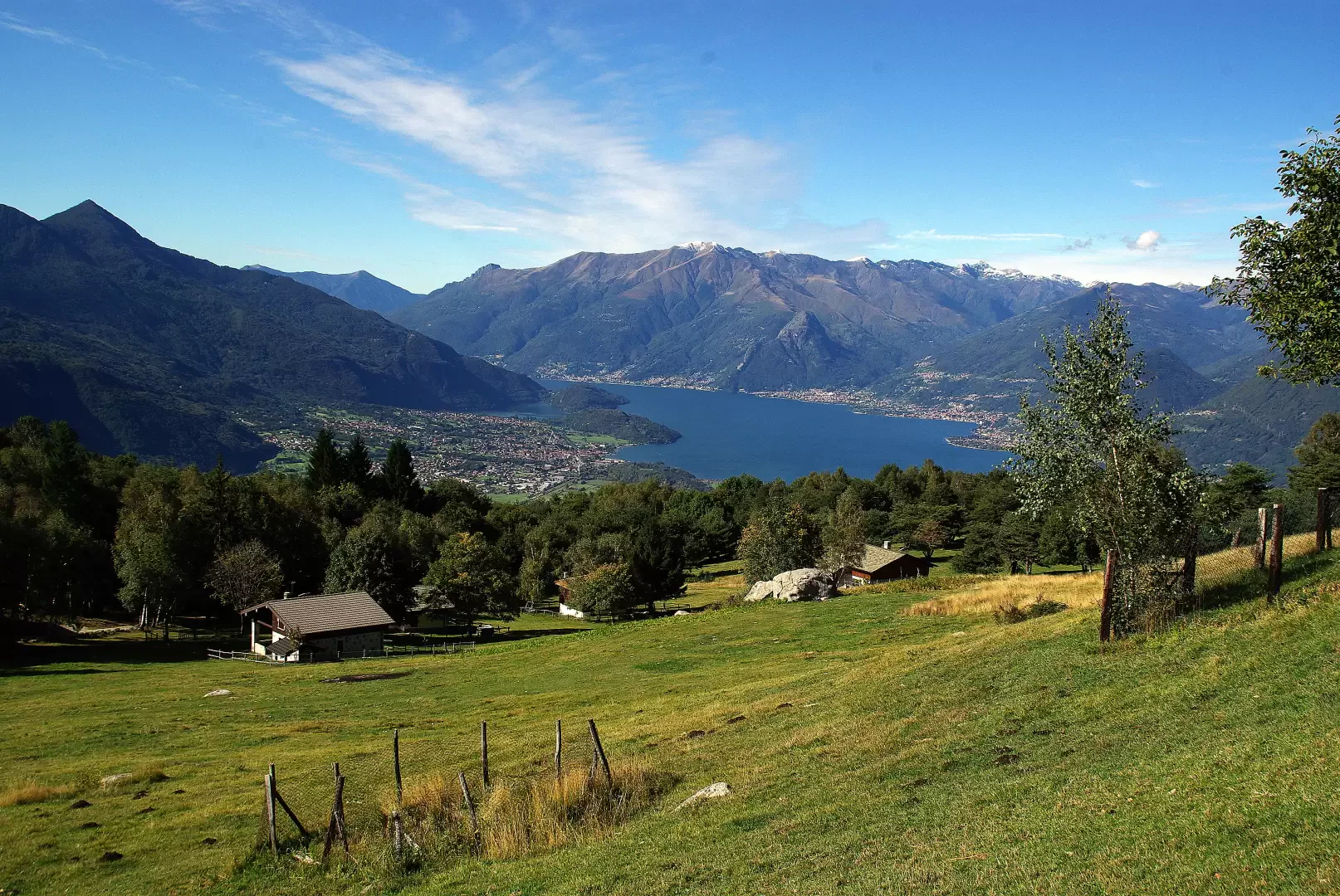
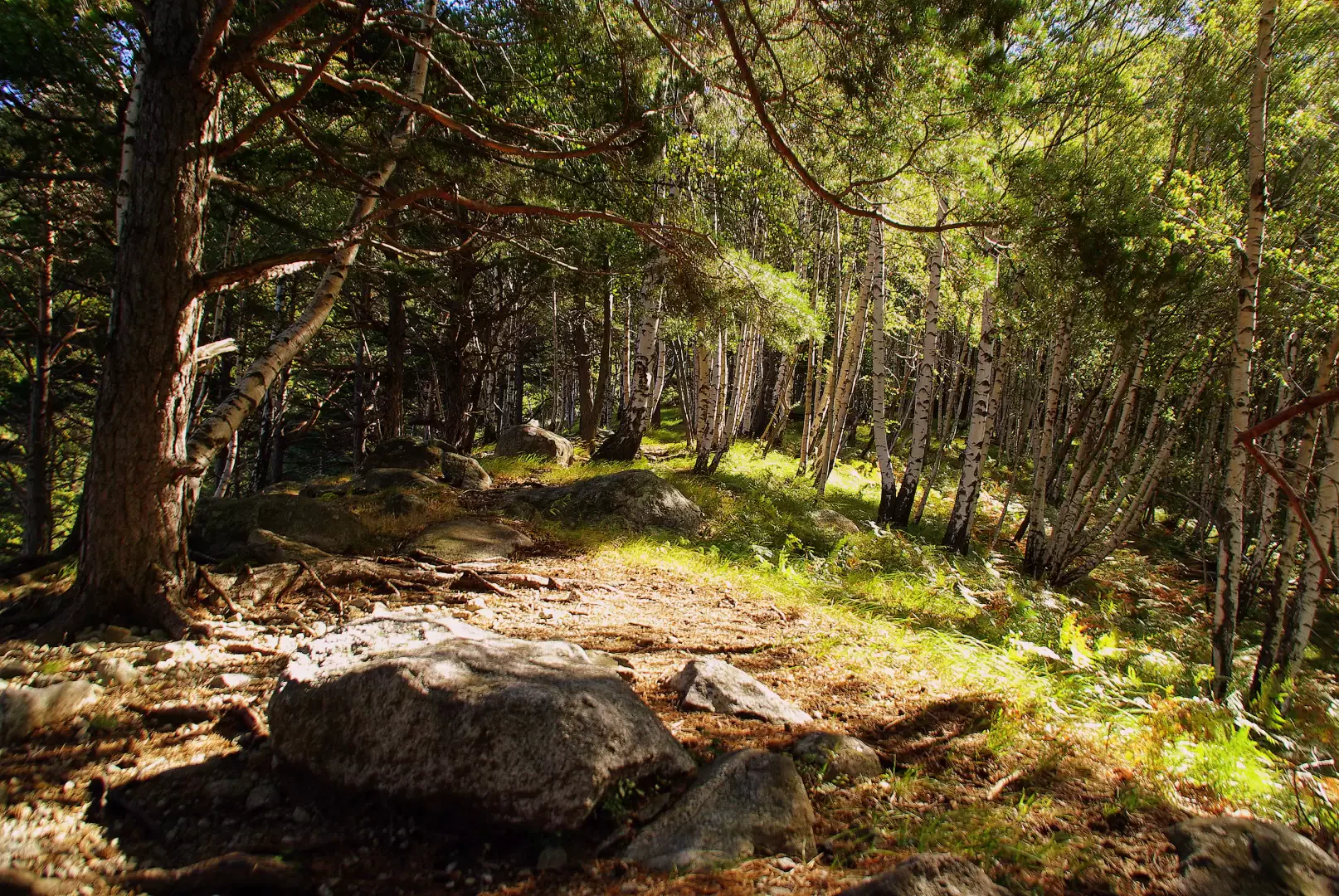
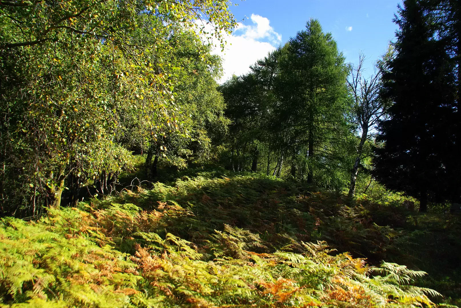
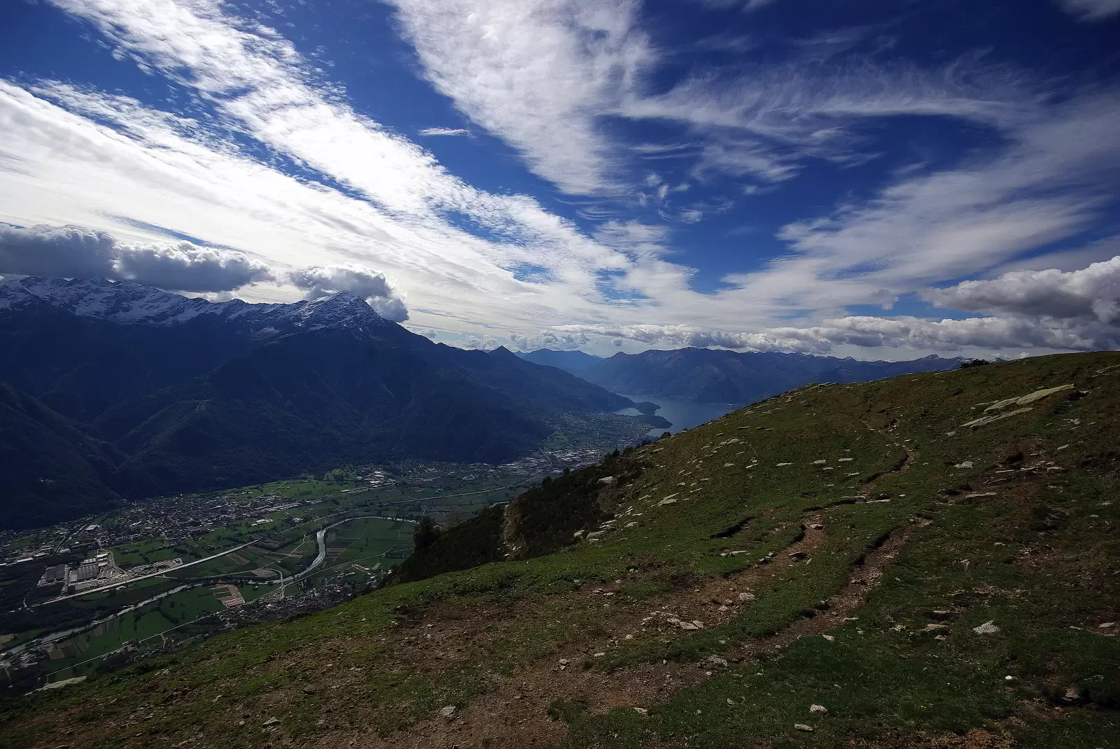
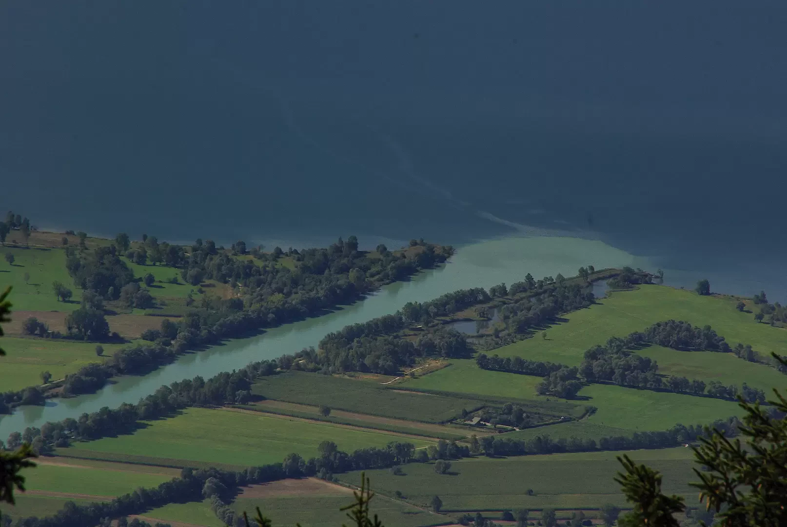
A very panoramic hike that reaches the pastures of the coast that divides Valchiavenna from Valtellina, taking its origin from the marshes of the "Riserva Naturale dei Piani di Spagna e del Lago di Mezzola". The northern slope, which then tends to merge with the Valle dei Ratti, is shady and covered with steep forests; the southern slope, with sparser and brighter woods, widens at times into vast meadow clearings (the result of the destruction of centuries-old pine and fir forests by disastrous fires in 1948, 1952, 1965 3 1976). The presence of many paths, and all equally signposted, tends to confuse the downhill progression: a firm point of orientation is the existence of a firebreak track that crosses the coast from Alpe Piazza.
Description
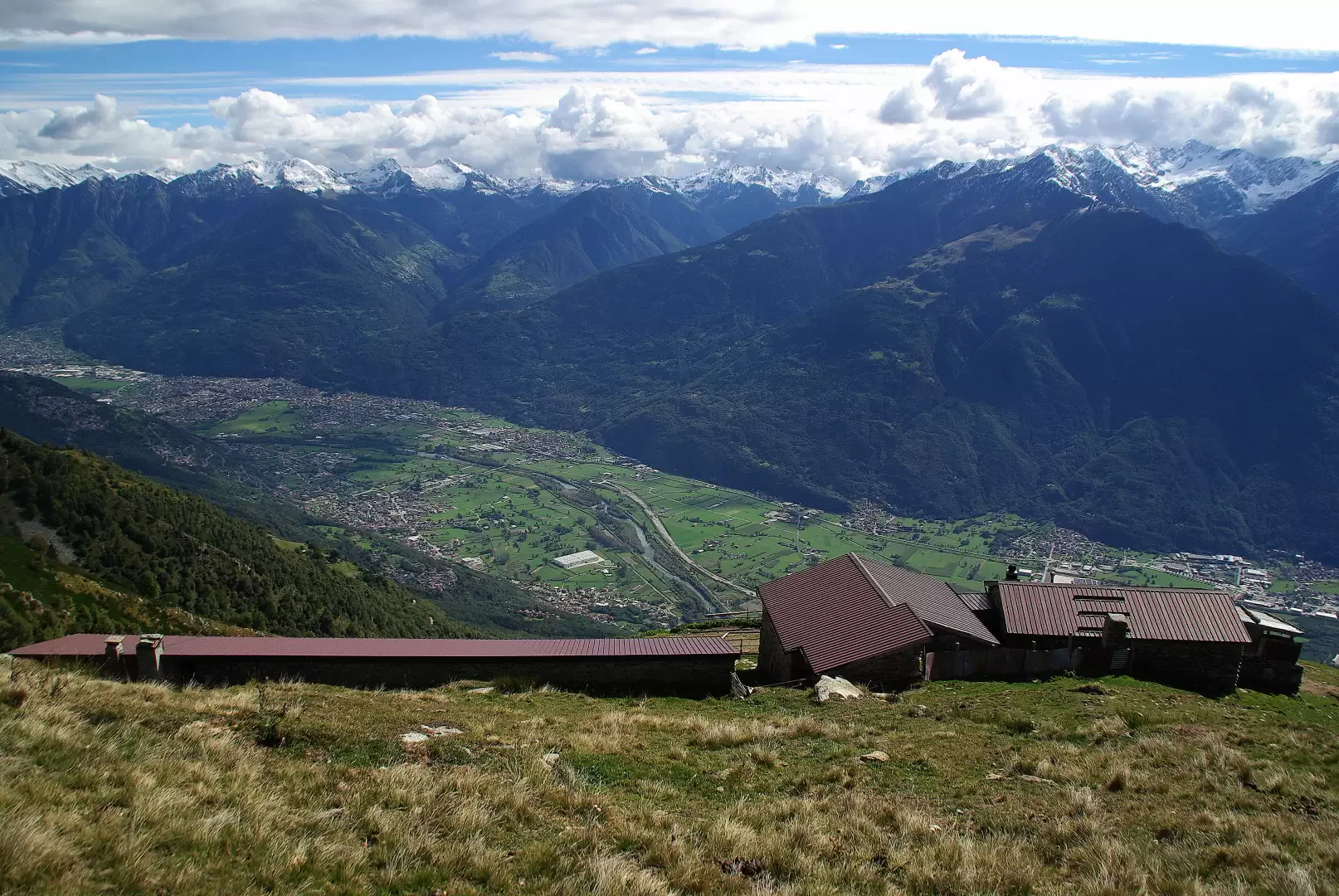
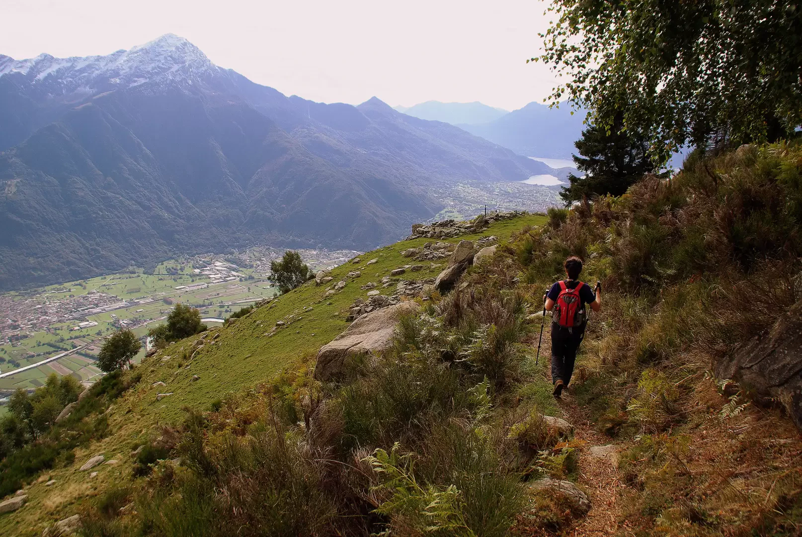
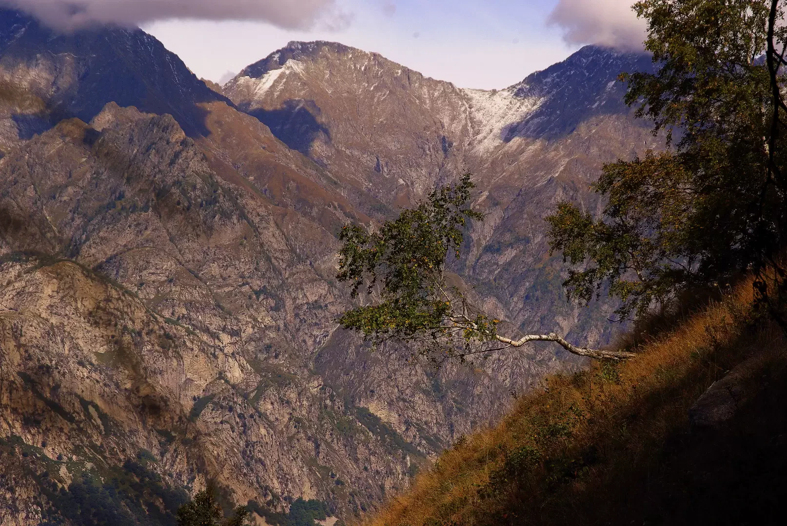
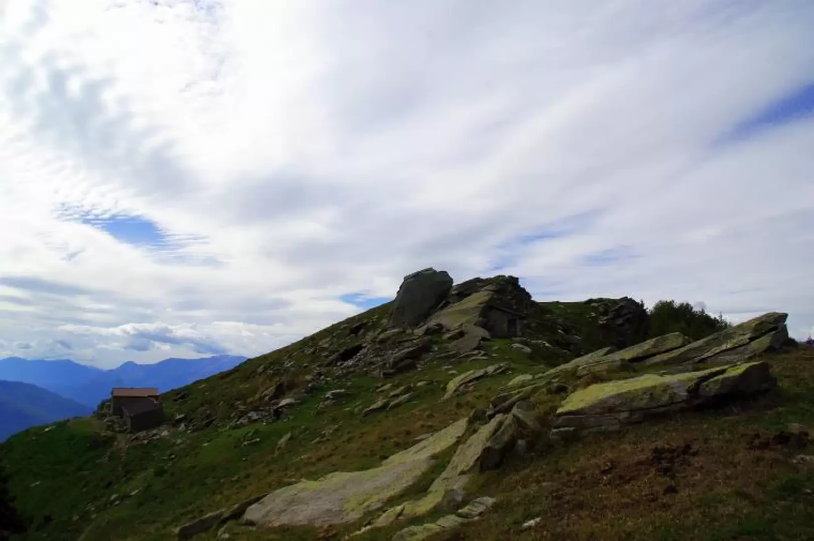
From the end of the toll road [up to here a 1h 30' walk] you enter the Alpe Piazza 981 m consortium land on a cemented track; at a barrier near a small playground turn left and go up the meadows to the highest huts: in front of a fountain you will see signs for a path that proceeds on the level. Take the less obvious left-hand path, which, having passed the last huts, enters a long traverse with a moderate ascent into a sparse wood with beautiful views of Lake Mezzola and the Valchiavenna. The ascent becomes more accentuated and a series of hairpin bends along the north-south ridge (pine forest on the shady side and birch on the sunny side) takes you to the wooded summit of Monte Foffricio 1109 m, surmounted by a repeater tower. In a clearing occupied by luxuriant ferns, the path forks: continue to the left (the return route will pass to the right) on the vast ridge, leaning often on the Valtellina side (Costiera dei Cech): the pines become sparser, leaving room for the still-loaded pastures of Alpe Bassetta. Note on the right the remains of a cistern for collecting rainwater. Among the outcrops of some granite boulders, we reach the grassy dome of Monte Bassetta 1746 m. The panorama is truly unique, encompassing the entire upper basin of Lake Como, while on the opposite side looms the south face of the Sasso Manduino 2888 m. Just below the vast peak, you reach the renovated huts of the Alpe Bassetta: from here, a well-marked path starts out parallel to that of the ridge, leading directly to the basin encountered on the ascent; turning down into the valley, a wide track descends to the shelf with the ruins of the First Baita 1635 m. Continue with regular hairpin bends until you reach a flat section among the gorse bushes: turn right at a back fork; the beautiful diagonal track with ups and downs takes you back to the highlighted fork on Monte Foffricio. A few metres on the outward path and a new path can be seen on the left that descends into the birch wood until it reaches the level path that crosses between the high huts of Alpe Piazza. From the initial fountain, go back along the outward path.
Galleria fotografica