Monte Antola, from Bavastrelli
Access
From the Bisagno valley, one ascends the valley on the ss45. You cross Torriglia and then turn left onto a narrow carriageway towards Propata. Pass Bavastri and park at Bavastrelli.
.Introduction
The Antola is a very well-known mountain in Liguria that has the particularity of having an infinite number of different accesses. This always guarantees different excursions in the most varied environments, which is not at all trivial...
.Description
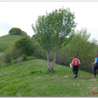
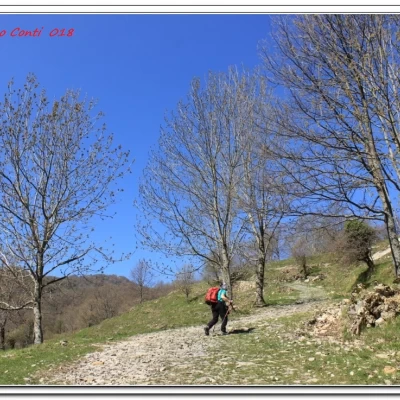
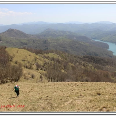
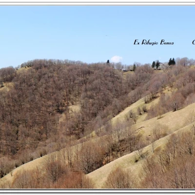
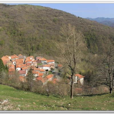
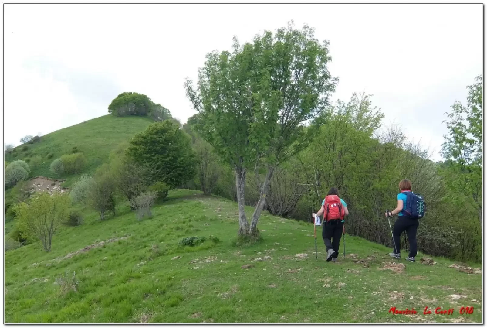
The path starts from the road, at a bus stop shelter, with an opening on the left, where there are a few parking spaces (in case you cannot find parking spaces, you can continue a little further on until you see, at the edge of the road on the left, other spaces available). You ascend, walking between the houses of the village (920m), with the yellow FIE symbols. You ascend a wide track with a beautiful view back over Lake Brugneto. You pass a first spring ("da Ciappa suena") and enter the forest. Further on, the hut structure stands out among the trees above and then a first votive shrine is reached (S. Antonino chapel - 1135 m - 45'). In another 5 minutes you are at the ruins of Casa Boccaiosa (1170m) with its fountain. The forest tends to thin out and you reach the Madonna delle Grazie chapel (1245m - 20'). Now you have to leave the main track... although it is a park path, complete with leaflet, there are no markings on the ground... the signs only show the left branch of the refuge ring and the direct route to the park structure (straight ahead). Here, however, it is necessary to turn right onto a well-marked and, at first, level track, but for 15 minutes there are no signs... This leads to a minimum of obvious difficulty... You cross the track coming up from Caprile and turn left. The signs reappear and you ascend, somewhat steeply, a beautiful ridge between meadows and sparse groves. The area is called 'il Ciuffo' and the view reaches as far as Lake Brugneto. Gradually, one enjoys a particular view of the Antola... in fact, in front stands the Cremado, the new refuge, the former ref. Bensa, the small Sacro Cuore chapel (recently rebuilt) and the summit... Almost at the top, among the trees, you can see a cross in memory of Marco Vigilia, the last manager of the Bensa refuge, who died of a bad illness in 1995 (after him, his wife Elena 'Lolli' kept the refuge open until 1997, before it closed for good - source: Rif. Parco Antola). It takes an hour to reach the east saddle of the mountain (1553 m) and with a short final effort we reach the 1597 m high point. After a break, to admire the splendid panorama, we descend on the opposite side, past the ruins of the old buildings that once animated the area, and in 15' we reach the refuge at 1460 m (total time 2h45).
After a tasty, reasonably-priced yummy and a reasonable break (3394874872 - info@rifugioantola.com - http://www.rifugioantola.com), we set off again, descending directly along the fastest route. The wide track winds its way through the trees, past the "du Ruindu" spring and the source of the "little valley" (apparently untraceable...) until it closes the loop, from the unmarked fork in the morning (35'). We continue to descend along the road we took on the way up, returning to the village (55').
All in all: difference in altitude +680 m Dif. E for approx. 4h15 Tot. plus all the breaks to see the various places we come across
Photos pdf file:
http://cralgalliera.altervista.org/BavastrelliAntolaSop018.pdf
http://cralgalliera.altervista.org/ScattiGallieraAntolax130Anni.pdf
Other 2018 trips:
http://cralgalliera.altervista.org/other2018.htm
http://cralgalliera.altervista.org/anno2018.htm
Trip file with reference map taken from OpenStreetMap:
http://www.cralgalliera.altervista.org/FascicoloAntolaDaBavastrelliRamoDxAnelloRif.pdf
Previous excursion in the area which covered the left branch of the refuge ring:
http://www.cralgalliera.altervista.org/antolabavastrelli.pdf
NB: In the case of an excursion, always check with FIE, Cai, any park authority or other institutions, pro loco, etc, that there have been no changes that have increased the difficulties! No liability is accepted. This text is purely indicative and not exhaustive.
Info Hiking Section Cral Galliera: http://www.cralgalliera.altervista.org/esc.htm
trips 2018 at the link: http://www.cralgalliera.altervista.org/gite2018.pdf
General information
Tour:
Trail signposting: trails with partial Fie marking
Tour type: partially circular
Recommended period: May, June, September, October
Sun exposure: south
Objective Danger:none
Exposed Tracts:none
Useful Equipment:normal daily hiking equipment
Water: Bavastrelli, Rifugio Antola
