Turlo Mass

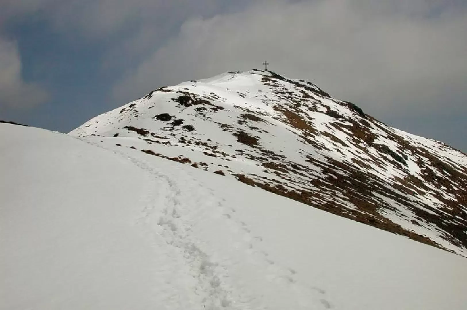
Description
Leaving the car behind (1219m), walk along the path, which branches off to the left below the church; all around, many renovated houses, with their sharp roofs now made of sheet metal, in the past of thatch, as they were in Valsessera, in the Biellese area. At Alpe Piane, in addition to the Camosci refuge, there is the Gerini refuge, both open in summer. The route crosses the beautiful pastures and heads north-east. The summit is already visible from the Piane; the difference in altitude is not so great, but the displacement is, it is about 4 kilometres. We enter a beautiful beech grove, come out of it, walk along a meadowy part, among scattered beeches and birches, then the path makes a very long half-hill on the side of the Bagnola valley, until below Mount Ventolaro, the first peak, which is reached with a few turns; we cover 400 metres in height difference, about an hour and 20 minutes from the start. The itinerary loses altitude slightly, but from now on keeps to the crest, on the panoramic shoulder. After an almost flat section, it starts to climb gently again, arriving at the next shoulder from which the cross can be seen, continue to the right, going round a rocky elevation, descend slightly behind, another route that climbs gently, and then the final section, which is not steep; to the left of the point, on a small ledge, a fine stone table with two benches was placed there in 2003; from there, in a few steps, you are at the cross, which was positioned some twenty years ago (1959m, 2h30'). Descent by the same route as the ascent. .