Malga Tuena

Edited by:
Maurizio Loconti
Updated at: 03/11/2025
Access
By car, one approaches Lake Tovel from Cles, as far as is permitted, and ends the journey by public transport.
Introduction
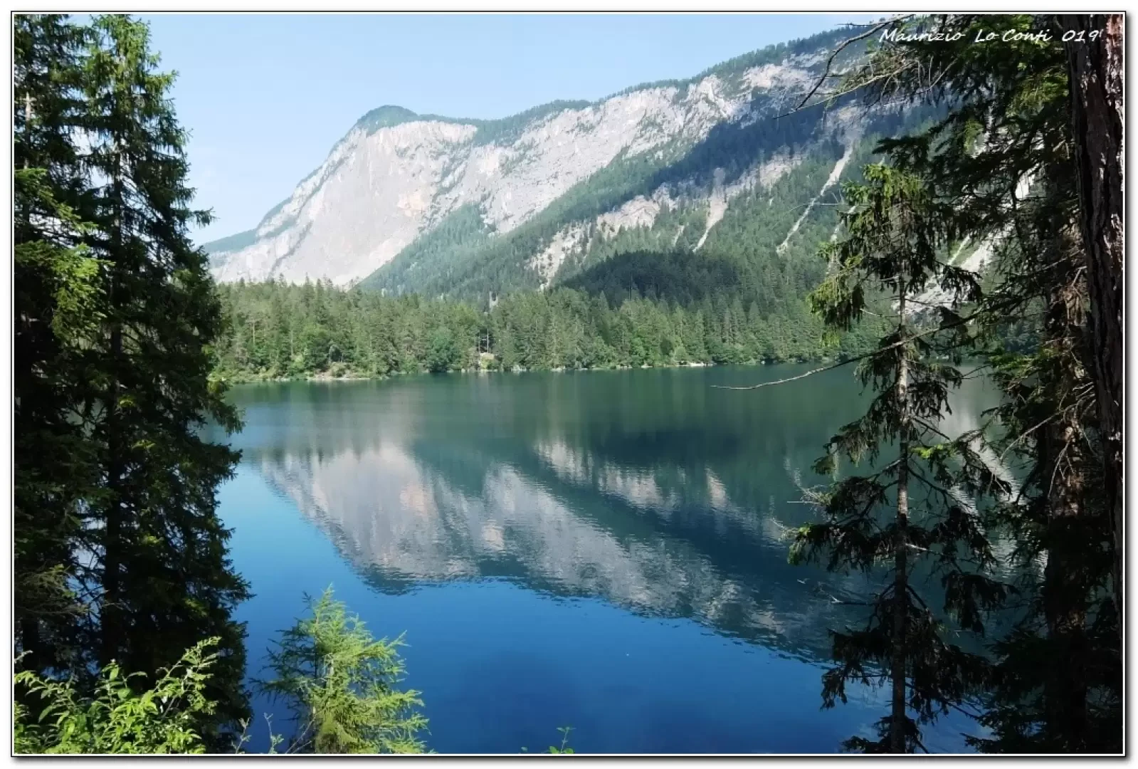
Lake Tovel was red until 1964, probably due to three species of algae. The area always offers interesting excursions.
.Description
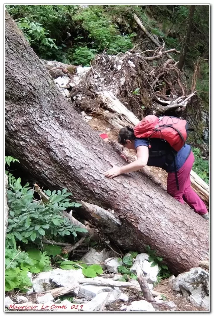
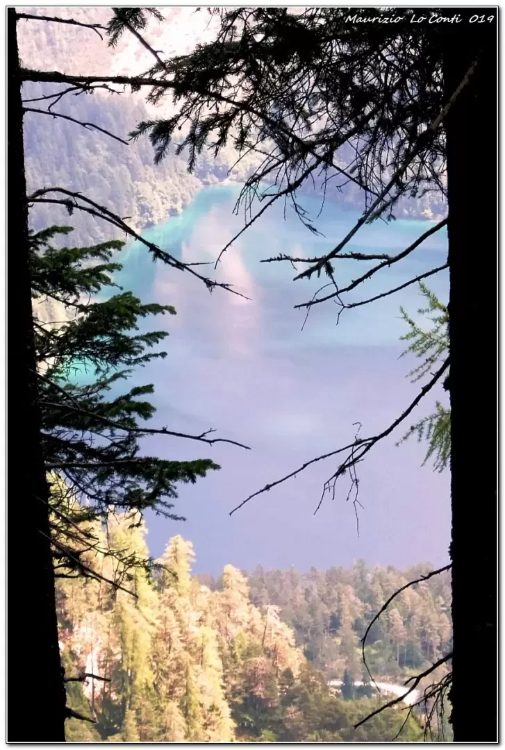
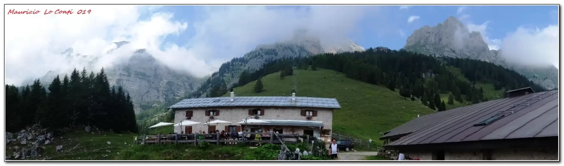
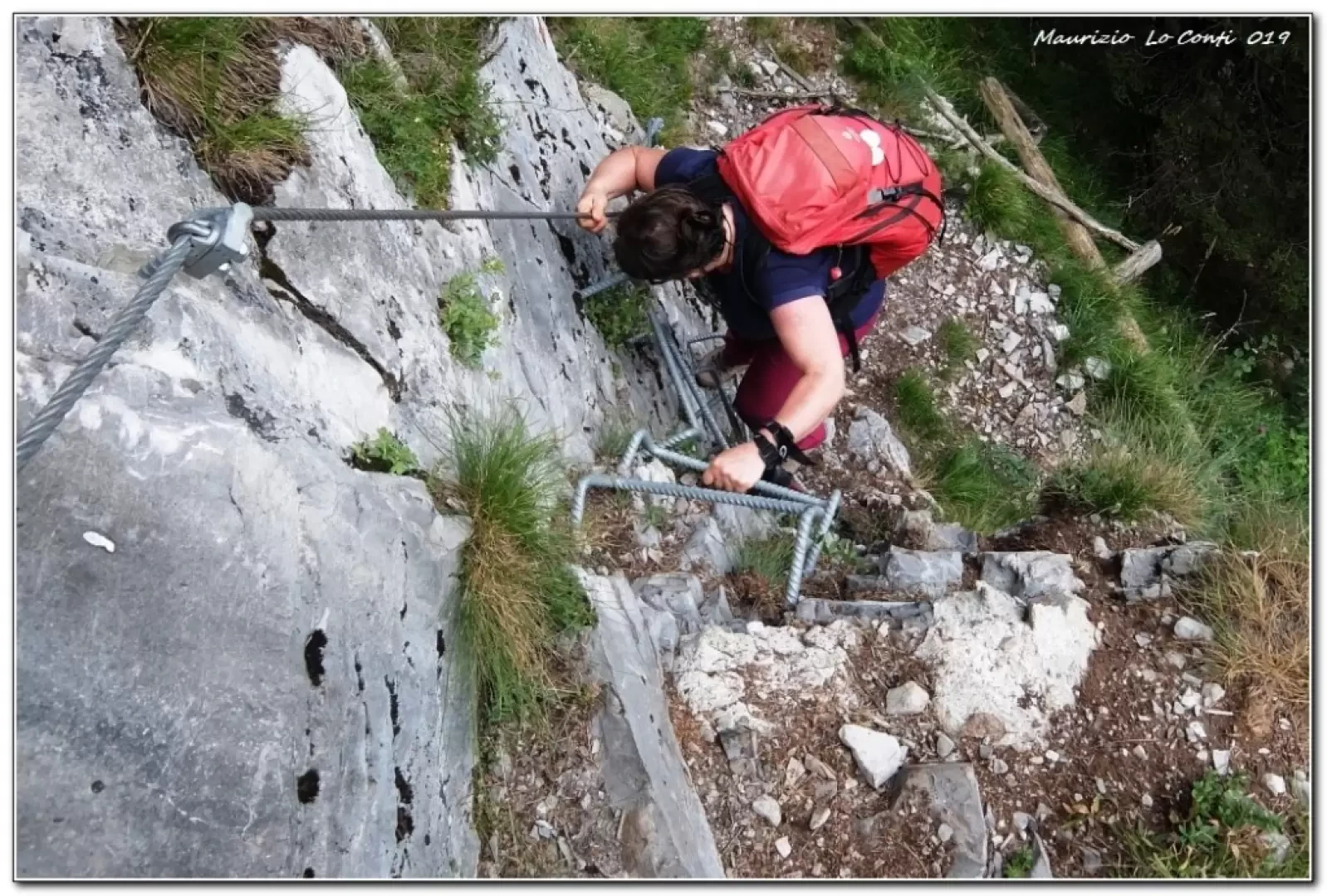
First (1160 m) you skirt Lake Tovel and then leave it. You ascend to the right, at length, into the forest, somewhat steeply in places. When the trees thin out, in favour of wide meadows, this means that the goal is near. In 1h 30, you arrive at Malga Tuena, at 1740 m. It appears that the dirt road behind the hut leads after 100 metres to a remarkable viewpoint... After the break, the eagle path is taken, clearly visible but unmarked (no crossroads). It starts from below the structure and is made a little difficult by some felled trees (if not removed in the meantime). There are a few slight ups and downs, paying due attention, because in a couple of places it is... a little narrow... There is a nice view of the lake from above. Finally after 1h, you join the marked path and turn left downhill, but the greatest difficulties are still to be encountered! You find a passage that is a bit tricky, but in reality ... it is more of a scene than anything else (you still have to overcome a 2/3 metre drop!). After 1h, you come out onto the wide track that leads, losing altitude, towards the lake, without any more problems. It runs alongside with breathtaking panoramic views... Another 45 minutes to the area where the buses are (a bit of a queue to catch the bus and return to the car...).
All in all: a decent day's walk, difference in altitude 600m Dif. E for about 4h15 Total (1h30 out and 2h45 back) + all the breaks to see the various places you come across. Average walking comfort: sufficient until the refuge, then a bit worse until the return on the lake road; afterwards excellent
If you want here is the pdf photo file, with some other news:
http://cralgalliera.altervista.org/VacEst/VacEst019I.pdf
http://www.cralgalliera.altervista.org/anno2022.htm
http://www.cralgalliera.altervista.org/altre2022.htm
NB: in the case of an excursion, always check with FIE, Cai, any park authorities or other institutions, pro loco, etc, that there have been no changes that have increased the difficulties! No liability is accepted. The present text is purely indicative and not exhaustive.
Info Hiking Section Cral Galliera: http://www.cralgalliera.altervista.org/esc.htm
Trips 2022 at the link: http://www.cralgalliera.altervista.org/gite022.pdf
General information
Trail signposting: SAT
Type of route:circular
Recommended period: June, July, August, September
Galleria fotografica