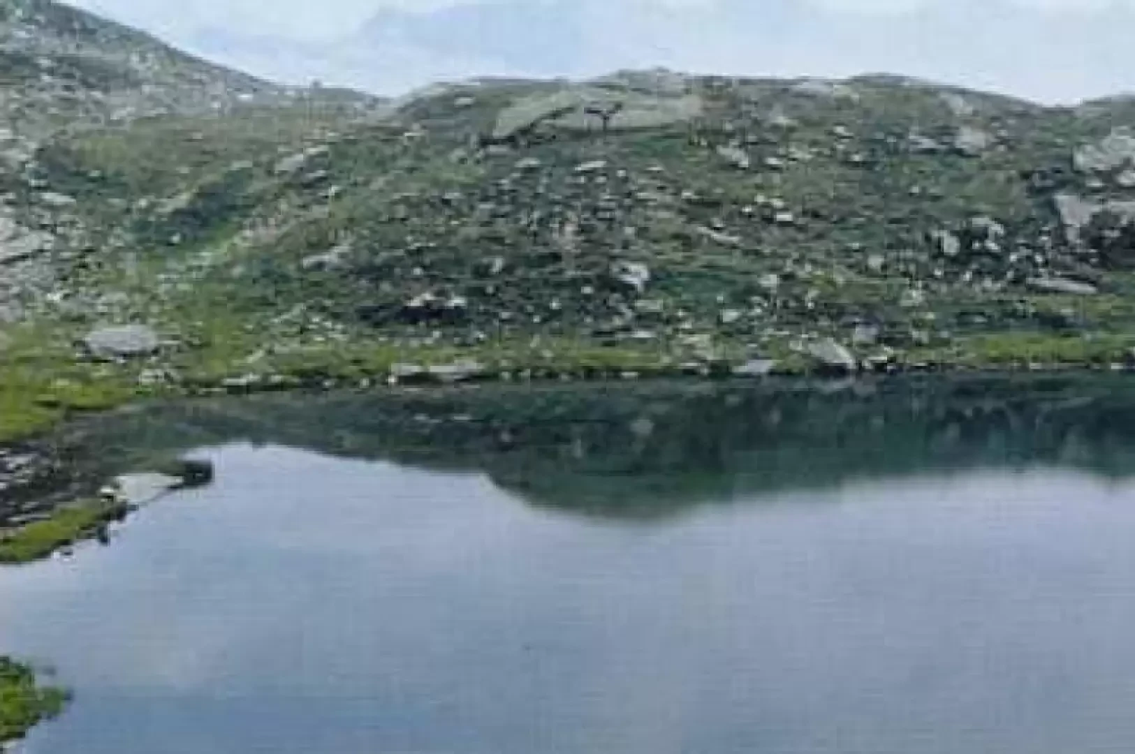
Trione Lakes, from Migliere

Access
From Lanzo continue in the direction of Germagnano and Pessinetto, then take the Val Grande provincial road to Cantoira, Chialamberto and Migliere, the first hamlet in the municipality of Groscavallo. Park your car near the church, next to the playground.
Introduction
The itinerary winds through the Vallone di Trione, once the site of numerous iron mines. The route follows the path GTA (Grande Traversata delle Alpi) - SI (Sentiero Italia) that leads to the Colle di Trione, a pass that connects the Val Grande with the Val d'Ala. The route presents no difficulties and is not excessively strenuous.
Description
Follow the track (opposite the church) that leads to a bridge over the Stura stream; cross it and continue to the right until you come to a path through a centuries-old larch forest. Past the tall vegetation, you enter the Piano di Trione (1592m), where the trees give way to rhododendrons and blueberry plants. The walk continues pleasantly in this green plateau, a legendary place due to the presence of an enormous boulder, the "Pera Cagna", which is said to have fallen into the Vallone di Trione due to an error on the part of the devil: the boulder was in fact destined to destroy a town but, following the prayers of a hermit who realised the fact, Beelzebub was forced to let it fall: it is also said that a treasure is hidden under the boulder.
Another element of interest in the plateau is the presence of a singular rocky monolith known as 'Bec Ceresin', about 28m high and 12m wide, whose walls are overhanging and whose base is smaller than the summit.
The valley dwellers considered it inaccessible until it was artificially climbed in 1926 by throwing a string with a lead; in 1946 it was conquered by free climbing. The monolith is also renowned for the presence on its summit of specimens unique in the valleys of the hooked pine, which survived the great deforestation of the 19th century precisely because of the inaccessibility of the place; eagles were still nesting there at the beginning of the century.
At the end of the plateau stands Alpe Trione (1649m, 2h00'). After the cottages, the trail takes several twists and turns over a rocky drop until it reaches Gias di Mezzo (1961m, 2h45').
At this point, take the terrace above, from where you enter into view of Gias dei Laghi: leaving the alpine pastureland behind, you will soon see the transparent mirror of Lago di Trione, set in a green hollow (2164m, 3h5'). The other two small lakes are visible as you continue towards the Colle di Trione.
The descent follows the ascent route.
General Information
Path:from Migliere
Signposting: gta
Type of route: a/r
Recommended period: June, July, August, September, October
Exposure to sunshine: north