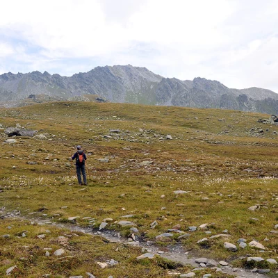
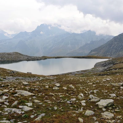
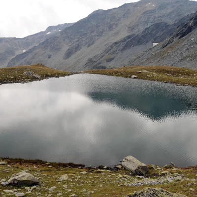
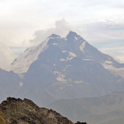
Comba del Drone lakes, from l'Hospitalet

Access
From the A5 motorway, exit at the Aosta Est toll booth and follow the signs for the G.S.Bernardo tunnel and continue along the state road, avoiding, near Saint-Rhémy-en-Bosses, to enter the tunnel and arrive at the G.S.Bernardo pass. Once over the pass, descend for a little over 4 kilometres and, after the second high concrete construction at L'Hospitalet, take the obvious dirt road that descends to the left towards the stream. Just before the wooden bridge, you can leave your car in a grassy clearing.
Description
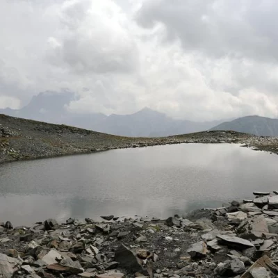
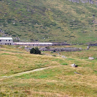
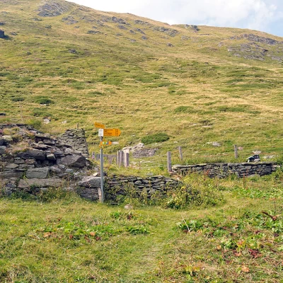
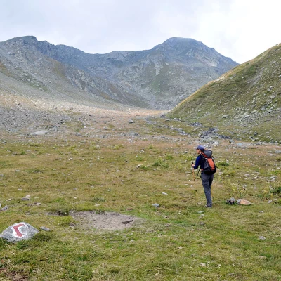
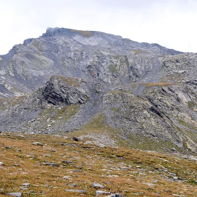
From the clearing, walk along the dirt track to the La Pierre mountain pasture (2039m), where the route's starting points are located to the right. Follow the Combe du Drône sign on the track that continues upstream from the alpine pasture with the red and white markings. You soon come to a fork where you turn left and ascend halfway up the slope, approaching the left of the Drône stream, which you cross a little above on stones. A little higher, you reach the wide pastureland plateau, which you climb up to its end, following the markings on the stones, and then bend slightly to the right towards the upper part of the valley, which becomes more stony. Cross the stream again and climb up a large grassy promontory to reach a plateau and, at a marker on a boulder, turn and head towards the only large boulder visible a few dozen metres to the right: just beyond it, you arrive on the banks of the Grand Lè (2554m), the lowest of the three. You skirt the lake on the left heading towards a small stream that you cross and, turning left to cross a small area of low stones on the level, you return to the marked path. Climbing for about ten minutes, you come to a point where you can see Petit Lè (2591m) on the left at path level, which you reach after a short diversions. Returning to the main path, go up again and in view of an evident rocky outcrop that detaches itself from a rampart, just below the vertical of Monte Telliets, reach it and climb up the less steep scree slopes to the right of the outcrop itself; after a short traverse in the direction of the small drainage, you reach the basin where the Grouille du Lè is located, the third and highest (2725m) and where there is also a forestry hut. If you wish to complete the itinerary of the lakes, you can, after descending from the latter, once back on the path at an altitude of about 2670m, reach another small lake situated a little further down on the right: this one is only listed (2648m) but without a name.
