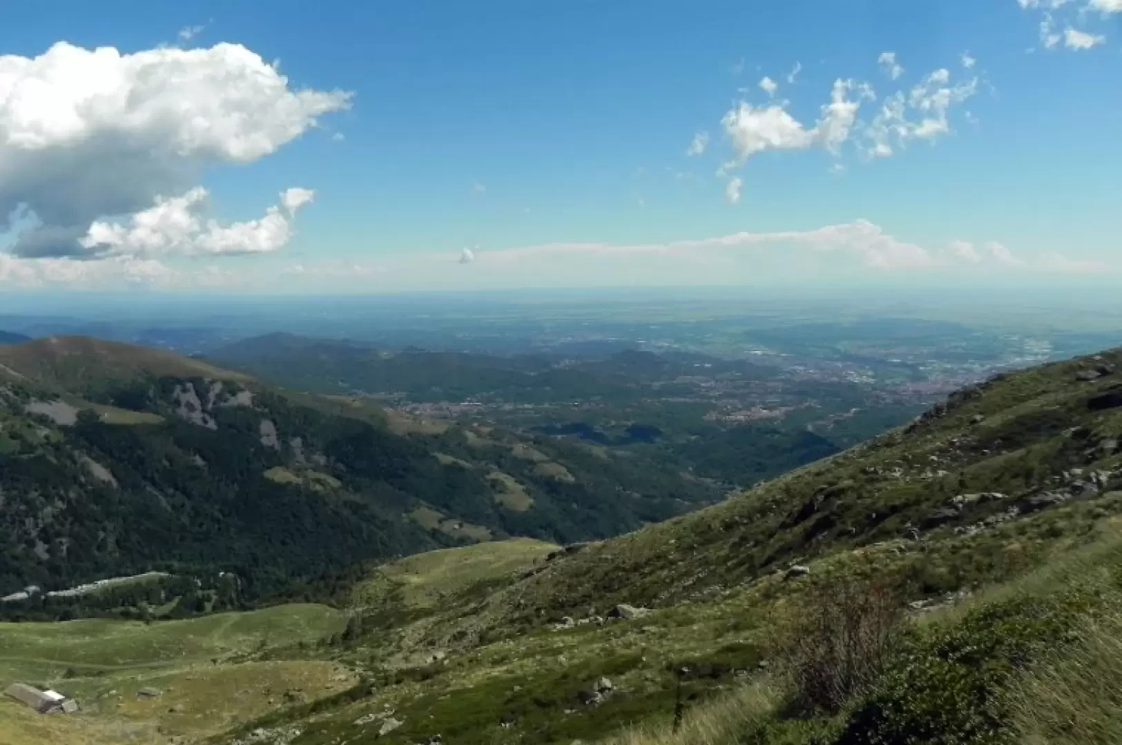
Lake Mora, from Oropa

Description
From the car park, go back down the road until you find the entrance to a cart track on the right, along which the Way of the Cross begins. Follow it until you reach the last chapel of the Sacro Monte di Oropa (Chapel of Paradise); go past the chapel on the right and join the dirt road serving the Pian di Gè mountain pasture, following it and gradually gaining height. Once out of the wood, the view opens out onto the plain and the main peaks of the Oropa valley (Mucrone, Monte Camino, Monte Tovo) and shortly after, after a few hairpin bends and before the building of the alpine pasture, a path branches off to the right (signposts). Immediately you come to a fork in the path, leave the path and start to climb (signposts for Cascina della Mora) along a path that alternates between low gradient and steeper sections, and in about half an hour you reach the small lake at Mora.
.
