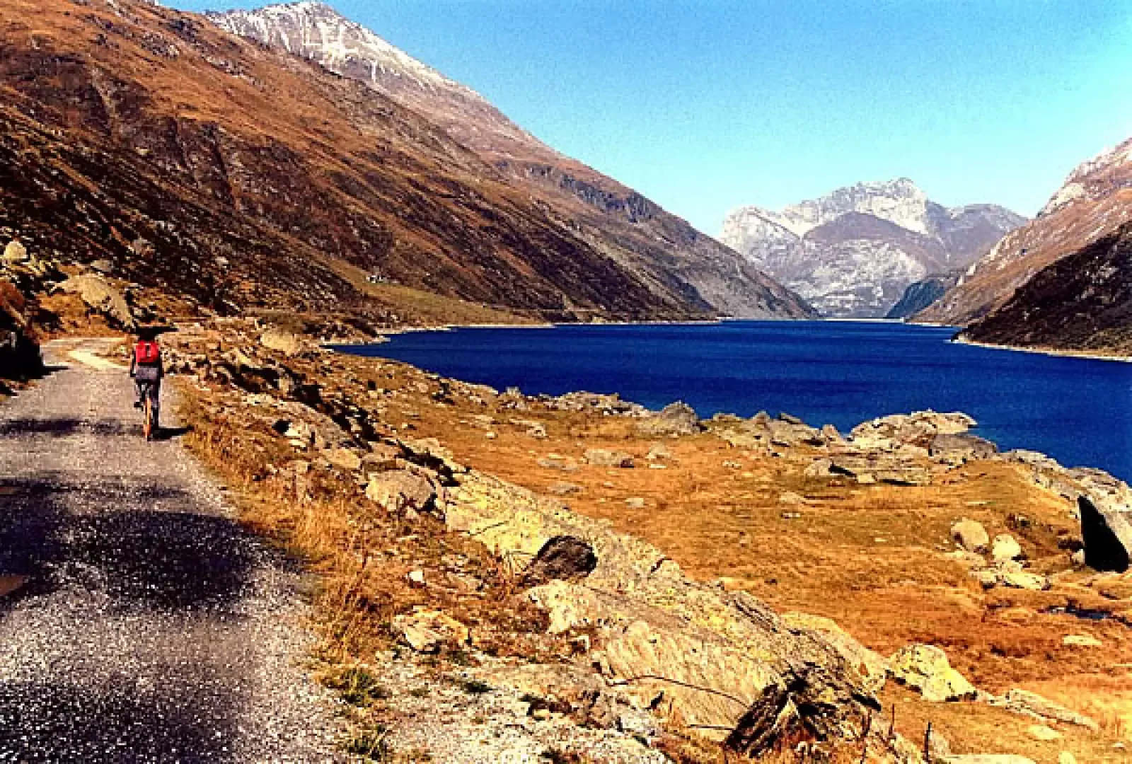
Lake Lei, from the dam car park


Edited by:
Marco Bonati
Updated at: 14/03/2025
Access
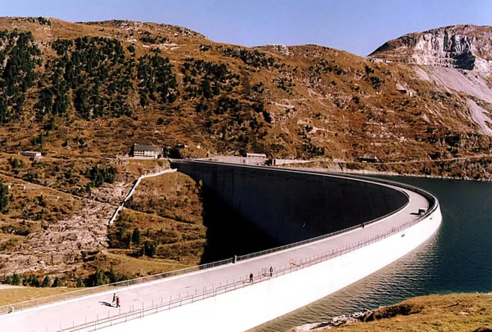
From Milan to the Spluga Pass along State Road 36. After crossing the border, you descend in twists and turns through pastures and fir forests to Splugen: a typically Swiss resort. Avoid the motorway and follow the signs for the cantonal road in the direction of Chur/Thusis. You flank a lake and pass some picturesque river gorges. At the turnoff to Val Ferrera, turn right and slowly uphill past Ausserferrera and Innerferrera; shortly after this farming village, follow the signs for the Lei Dam on the right. A long, narrow, one-way tunnel regulated by traffic lights and cameras leads to the dam's forecourts, where you should park.
Introduction
A very simple and non-fatiguing excursion of scenic interest, where the artificial reservoir does not stand out against the backdrop of the Valchiavenna peaks. The Val di Lei, despite the totally Swiss road access, belongs to the municipality of Piuro (SO), and its pastures are grazed by alpine farmers from the Italian Val Bregaglia. Swiss are the hydroelectric power production rights and physically the body of the dam.
.Description
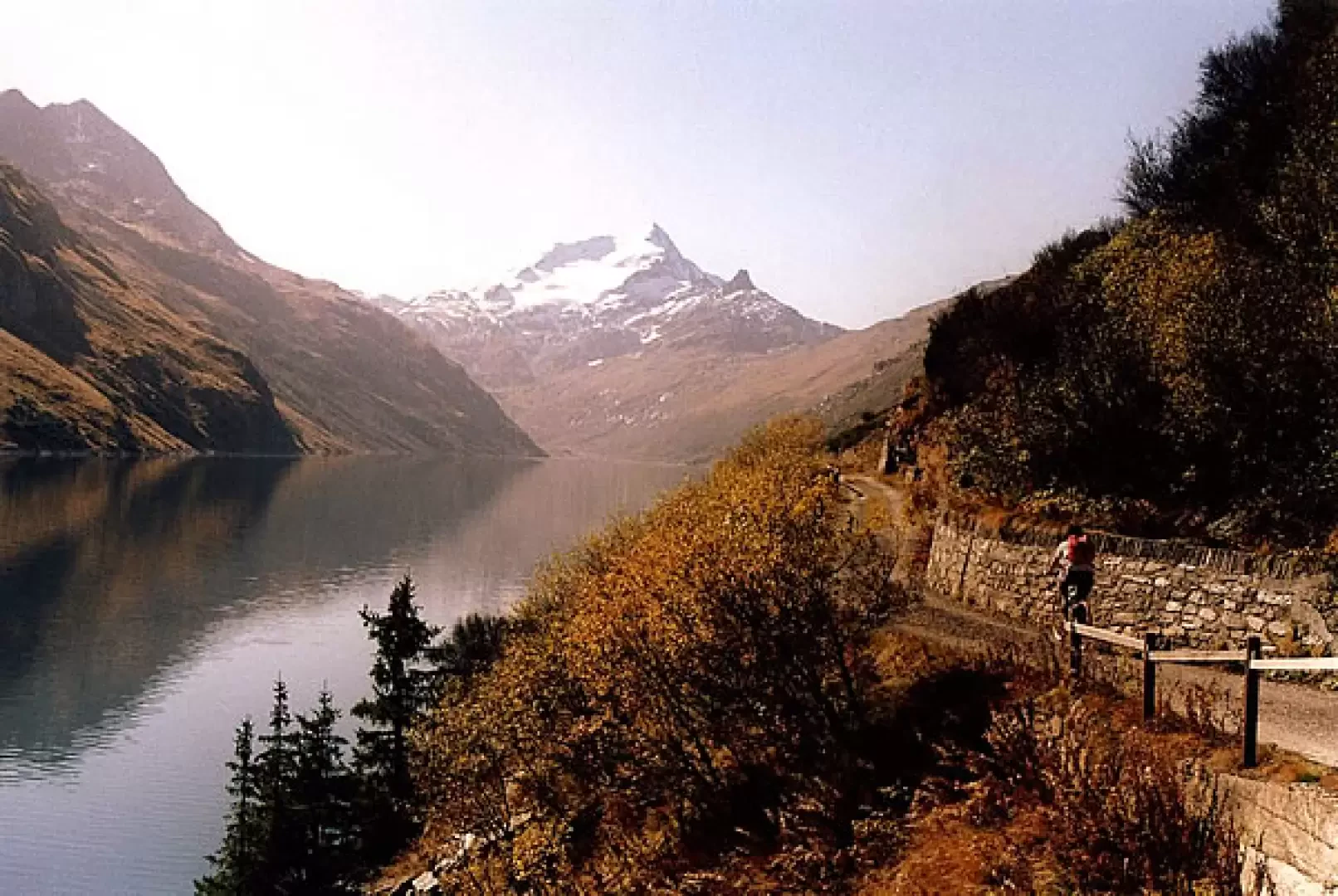
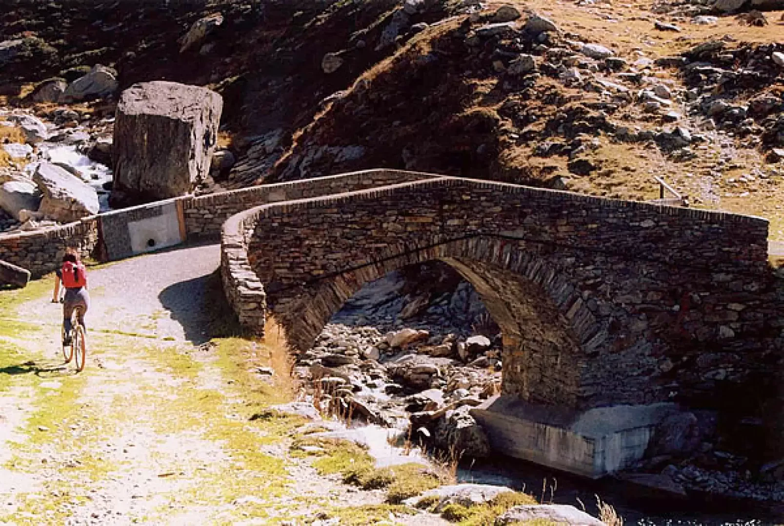
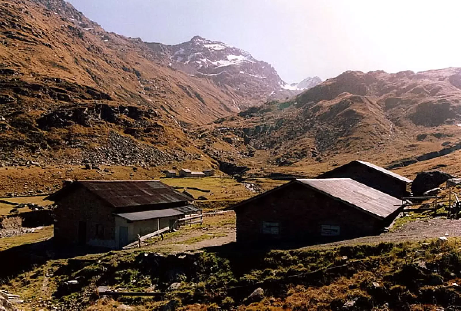
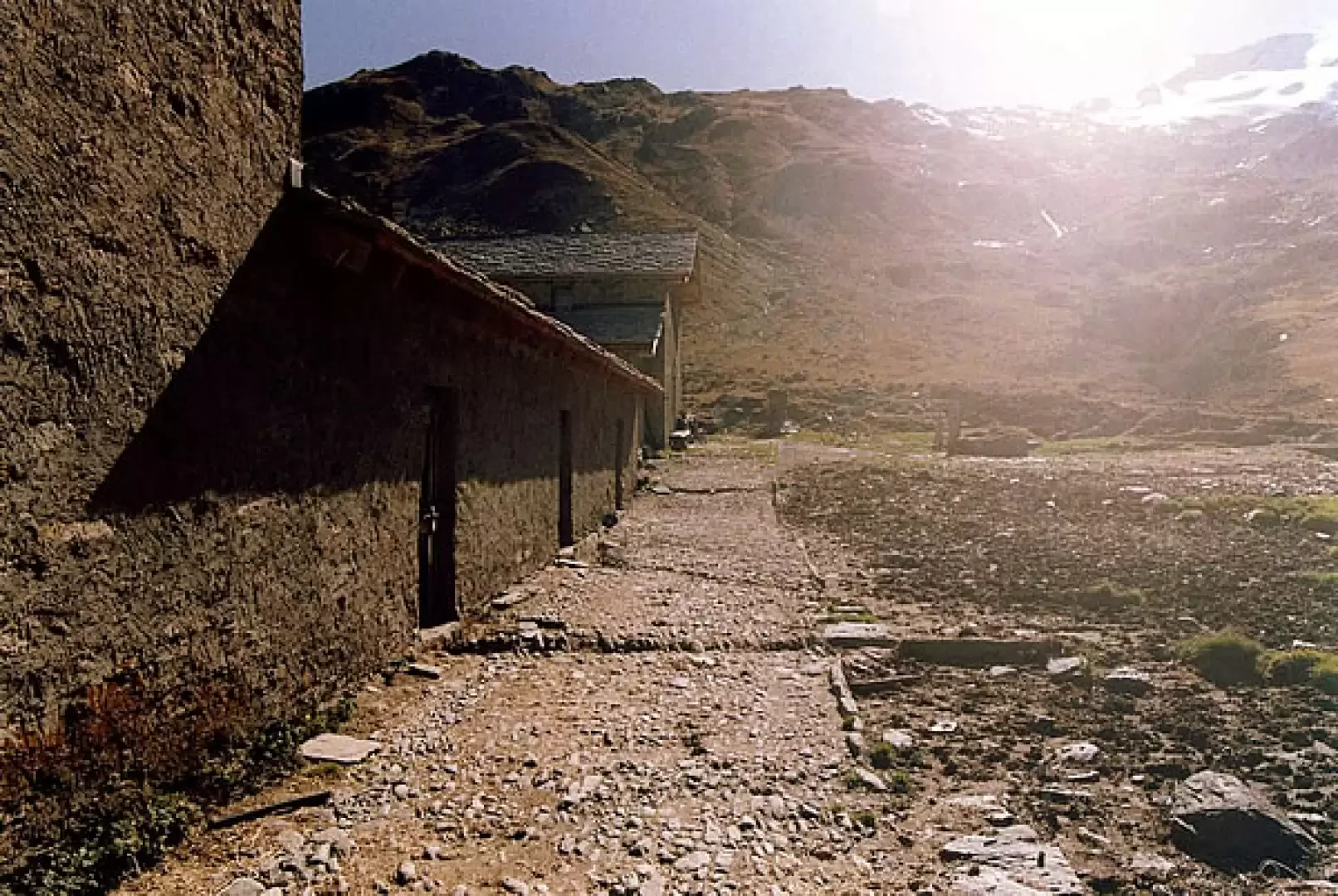
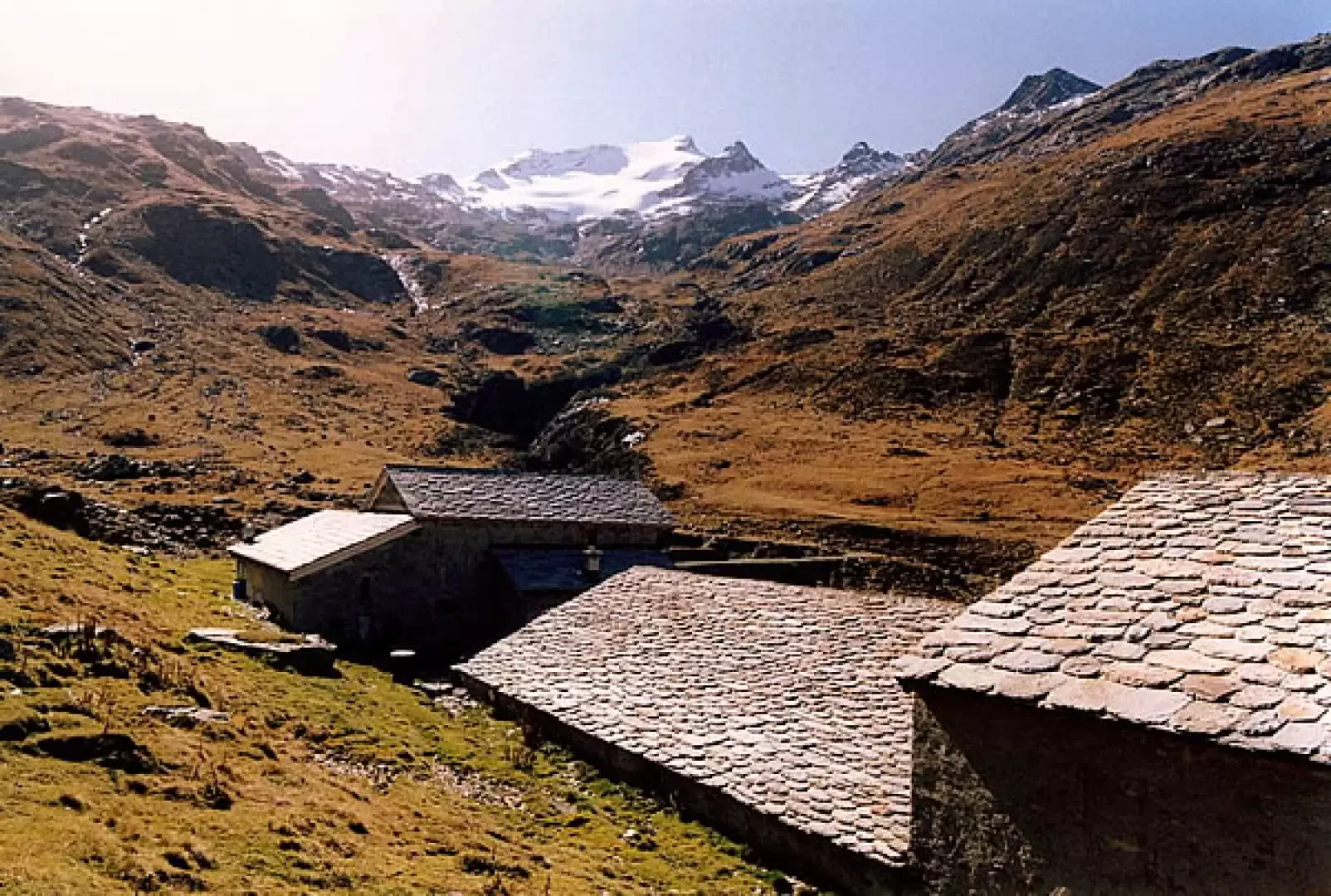
The outward and return journey is rather busy and takes place on a flat service track that follows the western side of the lake. At first you cross the dam on the upper road level, then turn left onto a short asphalt ramp, which leads to the service track of the alpine pastures at the end of the lake. After a ride of about 10 km, you cross the lake's tributary on a well-built bridge and arrive at Alpe Pian del Nido 1945m, where you can rest in a bivouac area. The valley floor is dominated by the Ponciagna glacier, which culminates in Pizzo Stella 3163m. Tourist signs indicate possible extensions of the excursion on foot: ascent to Passo di Lei 2660m (with a very long descent to Chiavenna) and ascent to Passo Angeloga 2391m (with an equally long descent to Campodolcino). Return, as mentioned, on the same route.
Photo gallery
Comments (0)
Sign in to leave a comment