Lake Erdemolo


Edited by:
tiziana
Last survey: 31/12/2002
Updated at: 08/12/2025
Updated at: 08/12/2025
Difficulty
T2
Length
0.00 Km
Recommended period
Access
Dalle statale della Valsugana si esce allo svincolo per Pergine indi si seguono le indicazioni per Valle dei Mocheni, Palù del Fersina.
Introduction
Si risale la bella vallata, definita " la porta del Lagorai", punteggiata dai caratteristici e pittoreschi masi. Avvicinamento Dalle statale della Valsugana si esce allo svincolo per Pergine indi si seguono le indicazioni per Valle dei Mocheni, Palù del Fersina.
Description
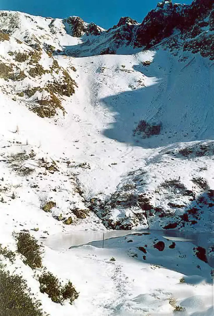
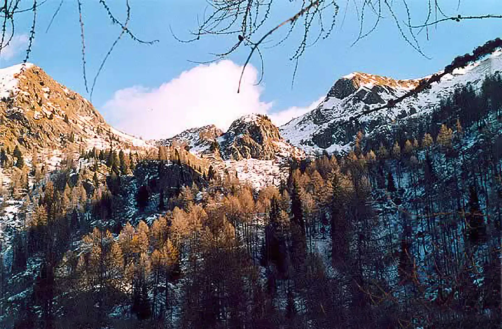
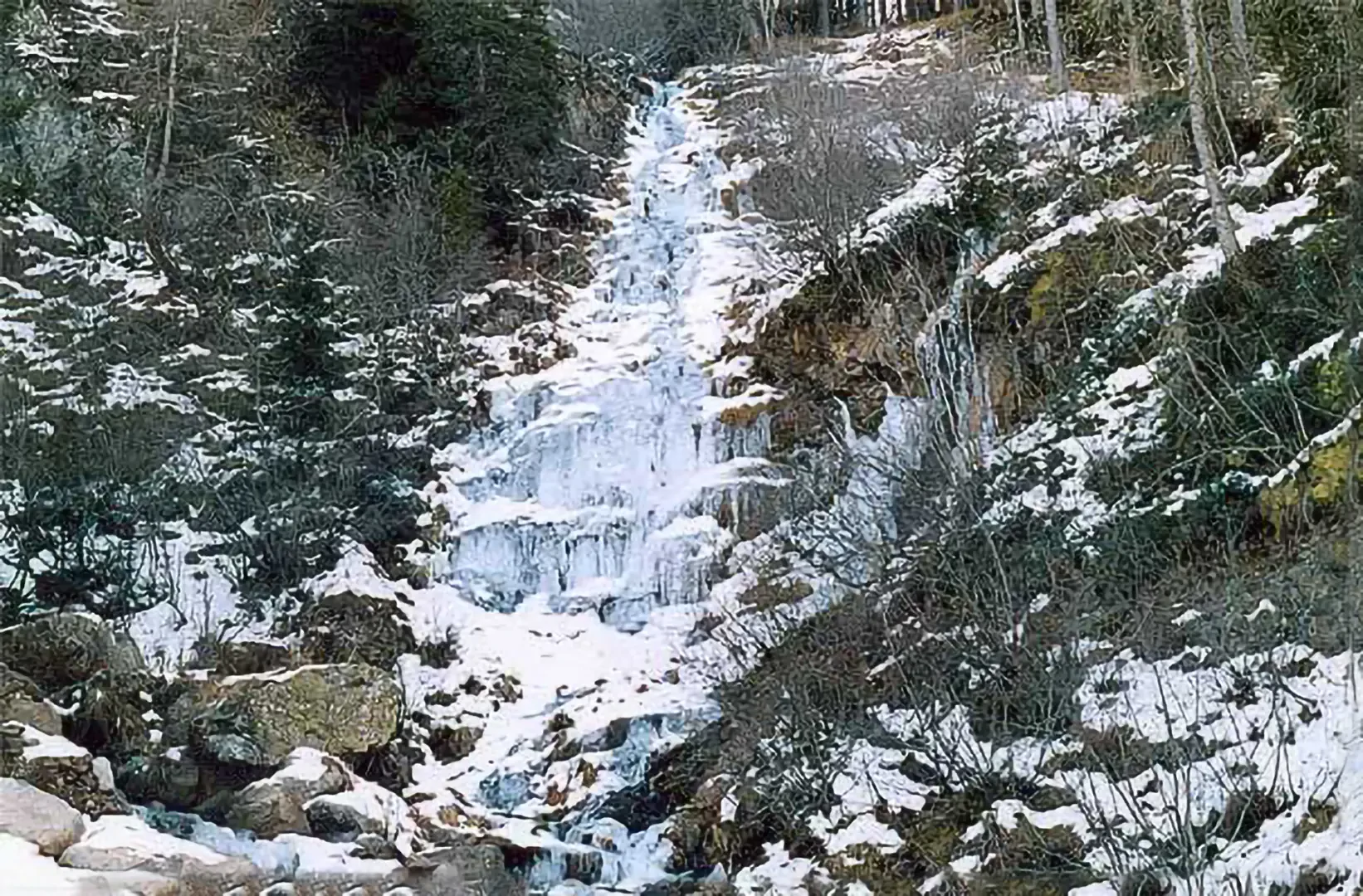
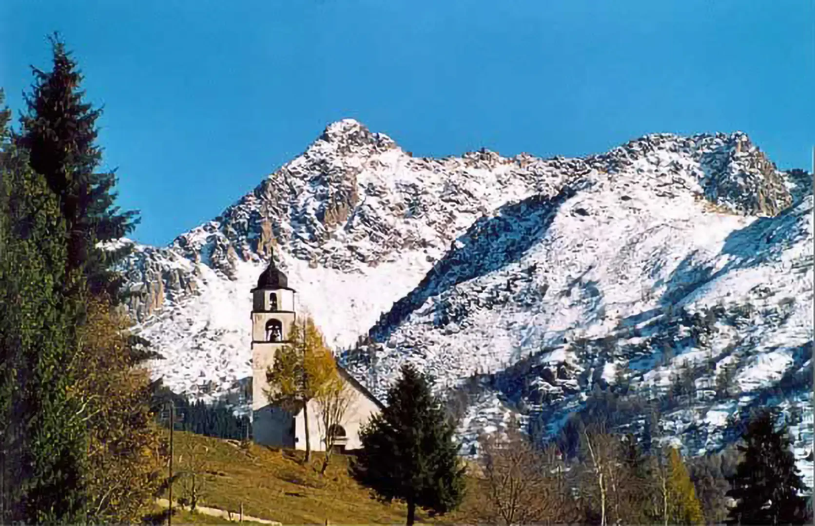
Lake Erdemolo (2024 m) Author:Tiziana Ciaghi Other hikes by the same author Last modified: Lake Erdemolo (2024 m) - © 2004 Tiziana Ciaghi Excursion card Itinerary type: a/r Difficulty: Hikers (E) Physical effort: Medium Objective dangers: none Signposts: Total time: 2h30' Ascent time: 1h30' Descent time: 1h00' Altitude at departure: 1500 m Height at arrival: 2024 m Height difference: 524 m Maximum altitude reached: 2024 m Exposure: North Recommended period: January, February, March, April, May, June, July, August, September, October , November, December Bibliography: A.Gadler, Guida alpinistica escursionistica del Trentino Orientale, Trento, 1996 Cartography: Kompass, Map 636: Catena del Lagorai Cima d'Asta, 1:50000, Introduction We ascend the beautiful valley, known as 'the gateway to the Lagorai', dotted with characteristic and picturesque 'masi' farmsteads. Approach From the Valsugana state road, exit at the junction for Pergine and then follow the signs for Valle dei Mocheni, Palù del Fersina. Description On leaving the village of Palù del Fersina the road narrows and continues with a few hairpin bends to a car park (1500 m). From here begins path no. 325, which leads to Lake Erdemolo, the Erdemolo hut and the mine. The mine is marked on the signposts; in fact, there is an old metal mine from 1500 on the path. The path immediately climbs up into the forest, skirting some old farmsteads, and then rejoins a wide forest road. Here everything is now icy and snowy and slippery :) Continue to the right, still following the signposts, and at a fork in the road, turn right again while continuing straight on to the aforementioned mine. After crossing the Fersina stream, the path climbs up through the sparse, snow-covered forest, but fortunately there is the track left by snowshoers and so the ascent is not tiring. I pass the beautiful Maso Erdemolo at 1707 m and the path climbs up again at a good gradient, cutting across the small valley to the left. The terse air allows one to enjoy the snow-covered peaks all around. I then reach the glacial basin of Lago di Erdemolo 2024 m and the landscape is very special, even if it is decidedly cold :) ...the lake is frozen and all is silent... I descend from the same path, first saying goodbye to some hikers who continue on to the Sette Selle hut. Photo gallery Lake Erdemolo Panorama Torrente Fersina Valle dei MocheniPhoto gallery
© 2024 -
© 2024 -
© 2024 -
© 2024 -
© 2024 -
Comments (0)
Sign in to leave a comment