Lagostel

Access
Go up the Peio Valley and, after Peio Terme, turn in the direction of Lake Pian Palù (last stretch with a modest toll payment), until you park at the end of the asphalt road, near the Fontanino refuge, 1675 m (source).
Introduction
A very rewarding tour, especially in the upper part, decidedly alpine and quite lonely. At the beginning, however, many people can be found on the route, but, for the most part, it is usually limited to the circumnavigation of the reservoir.
Description
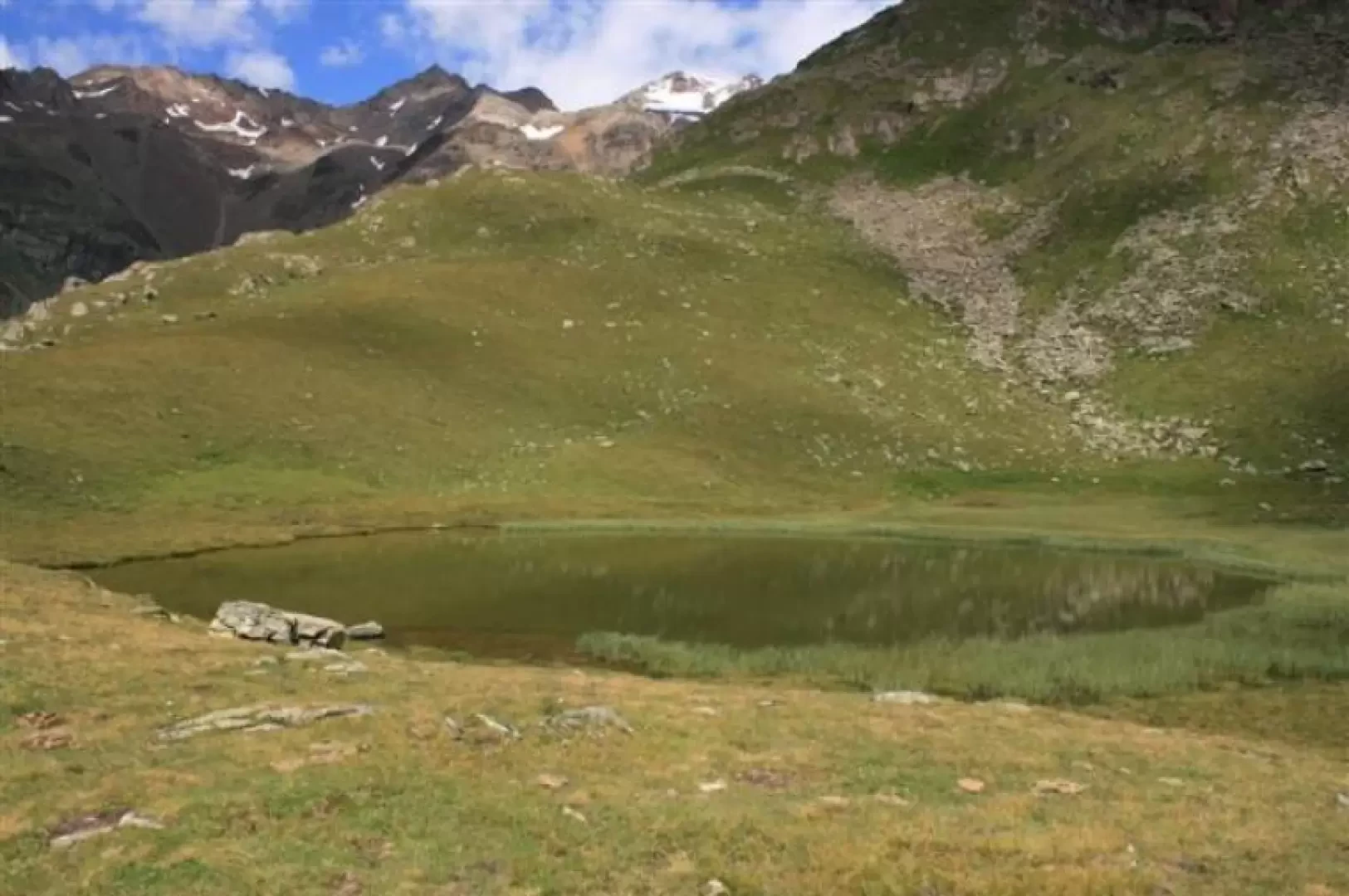
Take the forest road to the lake [110B], situated at around 1800m, and then turn right uphill towards the Malga Giumella (1950m), signposted [124B]. The farmhouse is reached by a couple of wide hairpin bends. Here, keep to the left [124], on an easy mule track which heads, almost level in the woods, towards Malga Paludei. This, however, is not touched upon; in fact, after an information board, you leave the wide track and go right uphill [141], with a somewhat steep and tiring stretch until you come out of the scrub, with a view of the Corno dei Tre Signori (3360m). Then, having passed a few streams, we tackle a less strenuous section until we come out, first near a small ephemeral lake, and finally from the lake known as Lagostel, at 2454m.
After a break, we descend between a beautiful amphitheatre of peaks, walking alongside, on the right, the Rio di Val Piana, again with no. [141]. The area is very beautiful and almost wild, and it is not difficult to spot a few marmots (editor's note: there is also a viperette, which is hiding in a crevice at the very edge of the path...). Then, at around 2250m, at a fork in the path, we choose the left and no. [110], which, in a short time, leads to Malga Paludei, 2106m. From the cottages, we continue to lose altitude, preferring no. [110] (no. [124] almost flat takes us back to Malga Giumella). In this way, you skirt the Noce torrent, which you then cross over a bridge, at the Malga Pian Palù (source). The track widens out and skirts, with a few undulations, the large reservoir (no. [110]) and, after crossing the dam, you rejoin the morning path, with which you return to the car park.