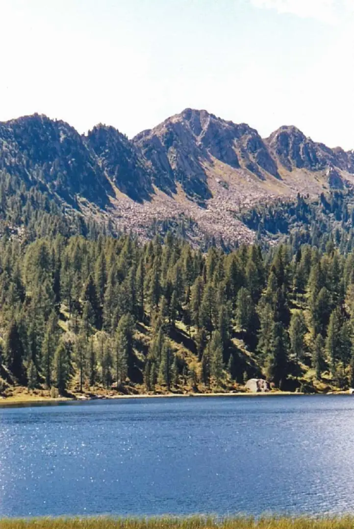
Malghette Lake, from Campo Carlo Magno


Edited by:
Maurizio Peroni
Updated at: 08/11/2025
Access
Per arrivare a Pinzolo seguire le seguenti indicazioni.
IN AUTO
A4 Milano (Km 220):
Uscita Brescia Est -Lago d'Idro-Tione-Pinzolo-Madonna di Campiglio
A22 Modena-Brennero:
Uscita Rovereto Sud-Mori-Arco-Sarche-Tione-Pinzolo-Madonna di Campiglio (Km 92)
Uscita TRENTO CENTRO -Sarche-Tione-Pinzolo-Madonna di Campiglio (Km 73)
Uscita San Michele all'Adige- Mezzolombardo-Cles-Dimaro-Madonna di Campiglio-Pinzolo (Km 78)
IN TRENO
FF.SS. Trento-Brescia:
Trenitalia
Ferrovia Trento-Malè:
Trentino Trasporti - Atesina
IN PULLMAN
Da Trento:
Trentino Trasporti - Atesina
Da Milano-Brescia:
Autostradale Viaggi
Società Italiana Autoservizi
Da Toscana-Emila:
Lorenzini Tel. 0187.66804-66805
Da Liguria-Lombardia:
Stat Turismo
Description
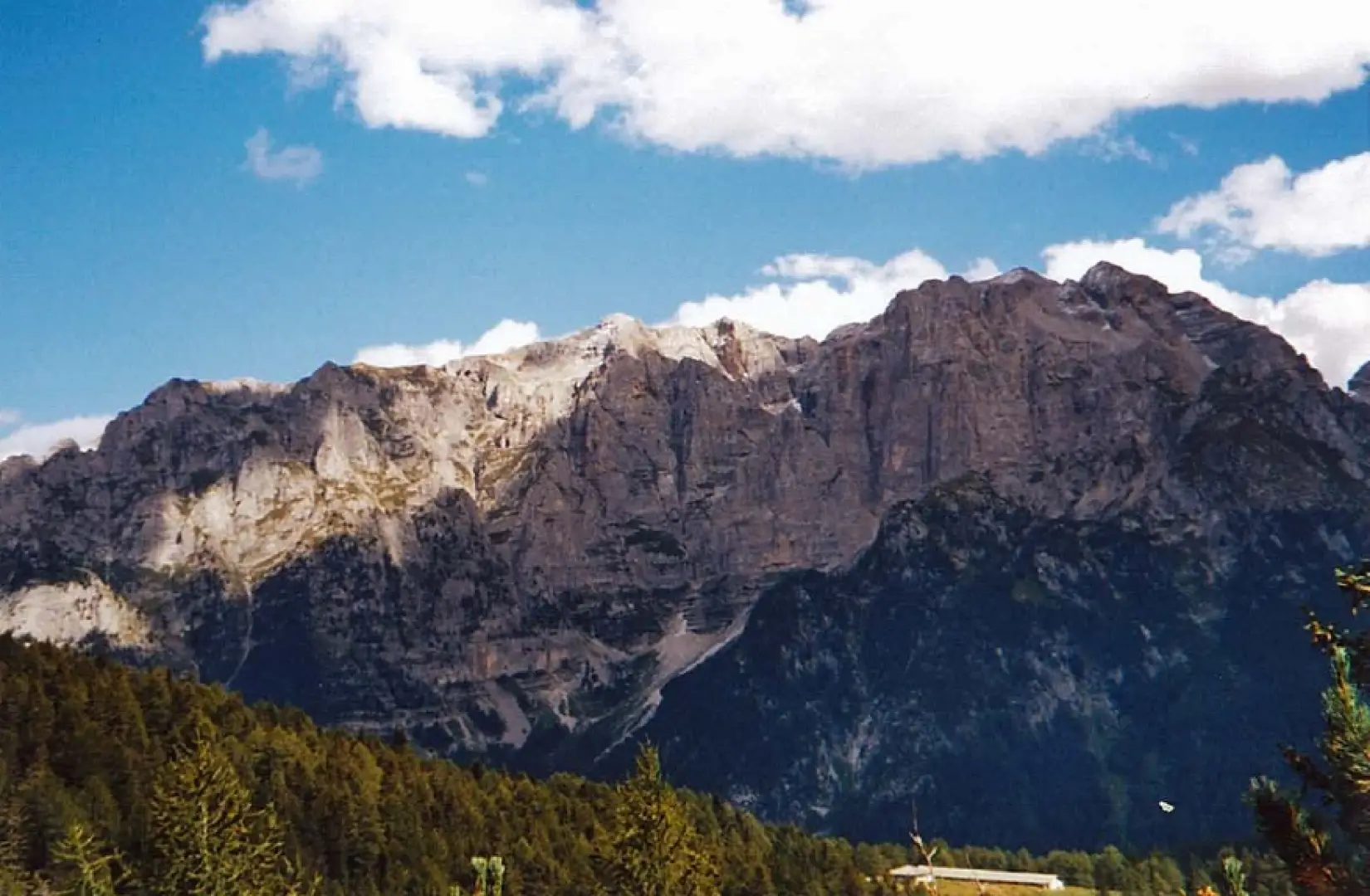
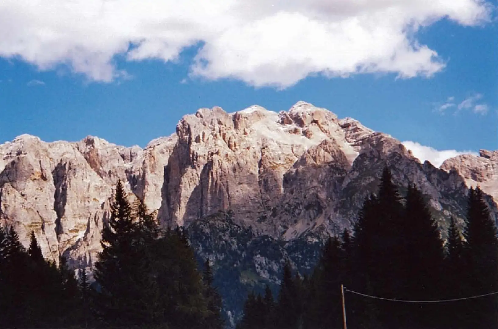
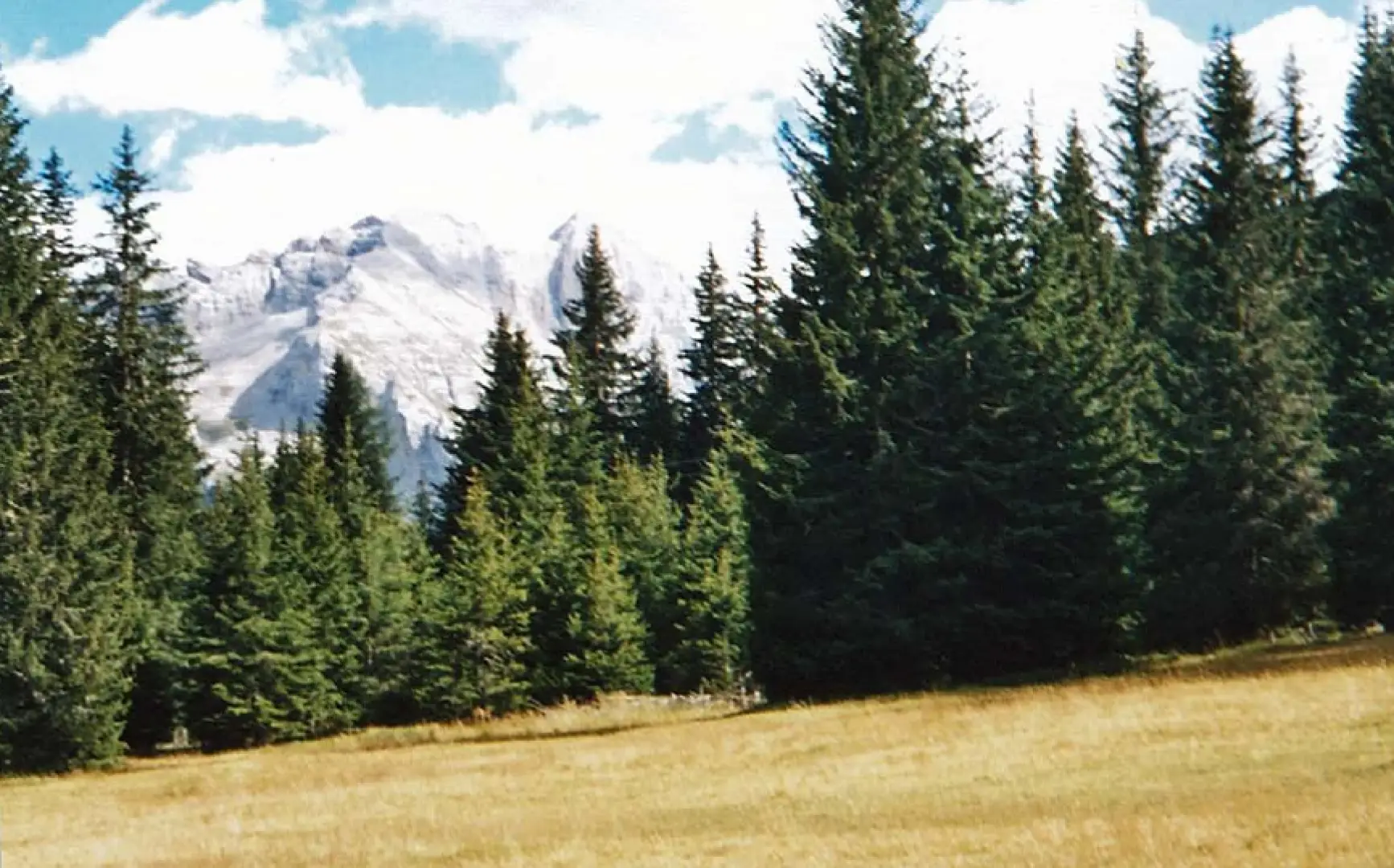
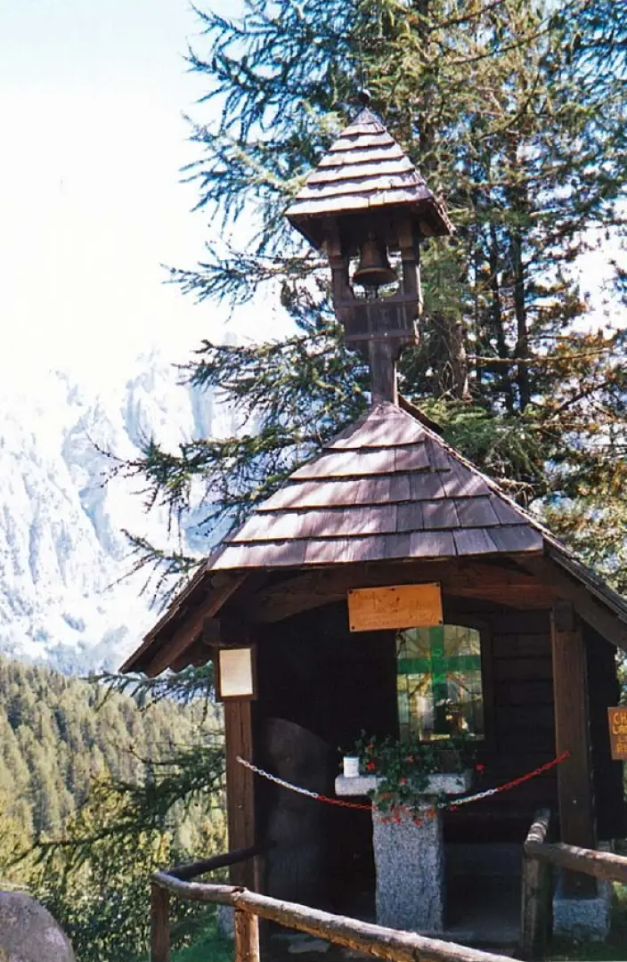
Just after the Campo Carlo Magno pass on the road leading to Malé, at a bend on the right, we meet the signpost for the Malghette Lake refuge. Leaving the car behind, we set off following the signs that take us along the forest road until we reach a large clearing from where we can see the ski-lifts used in winter. The route up to the clearing is almost flat until the point where we cross a bridge over a small stream; in fact, the road now becomes considerably steeper, but the whole thing is resolved in three hundred metres. The feeling you get when you arrive at the clearing is fantastic as you can see the crest of the mountain in front of you where the lake is located, while to the left and right you are surrounded by mountains from whose ridge you can see the tracks of the ski slopes used in the winter season. This part of the hike is also highly recommended for families with small children. In fact, prams (mountain buggies) and small hikers can easily walk up to the clearing and here have large meadows to run around in and the water of the stream, coming from the Malghette lake, which runs through the entire clearing to cool off. Those who want to continue to their destination must plan to walk along an easy path for about fifteen minutes. The path begins to climb immediately, also because we have to make the jump to the top of the lake, with pebbles, steps and tree roots to support the ascent. In view of the cable car, which is used to bring provisions to the hut, a wooden and earth staircase begins, leading us to the top where we find our alpine lake. Immediately we encounter a beautiful little chapel made entirely of wood and with its good bell. Opposite is the hut, but we head towards the shore of the pond to find a place to rest and refresh ourselves. In fact, following the path we took, it is possible to go round the lake returning to the refuge, and undertake other climbs such as the one to the Orso Grigio refuge from which it is possible to admire both Val Rendena and Val Di Sole (but this will be material for another itinerary).
Photo gallery
Comments (0)
Sign in to leave a comment