Pizzo dei tre Signori, Via del Caminetto


Edited by:
Benedetto Lorusso
Updated at: 16/09/2024
Introduction
The Pizzo dei Tre Signori is the mountain that dominates the area to the NE of the Valsassina. It owes its name to the fact that it lies on the borders of what used to be the state of Milan, the republic of Venice and the lega Grigione that occupied Valtellina. The Grisons then left Valtellina and Valchiavenna but kept Bregaglia and Poschiavo.Description
From the car park, follow the signs for Piani di Bobbio, on a horrible dirt road that, with the ski slopes, has devastated the environment. If the cable car is in operation (Timetable) you should use it without remorse, saving among other things two hours and eight hundred metres in height difference.
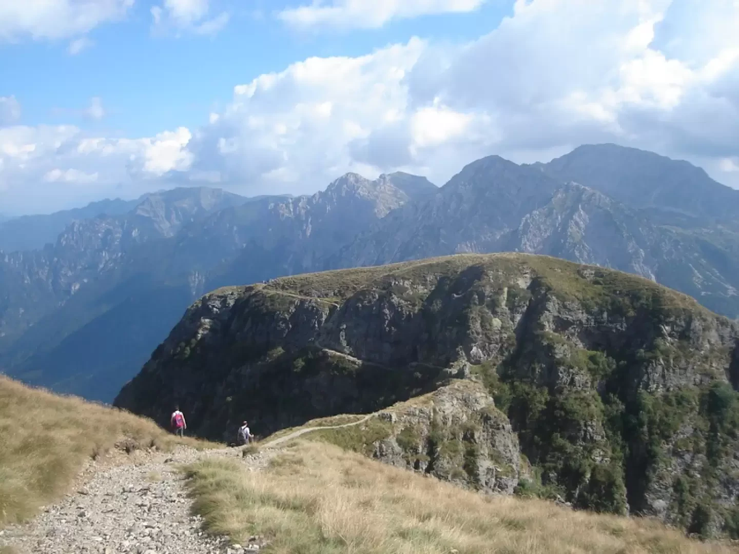
From the Piani di Bobbio you take a left on the path or on the inter-park track towards the Grassi hut.
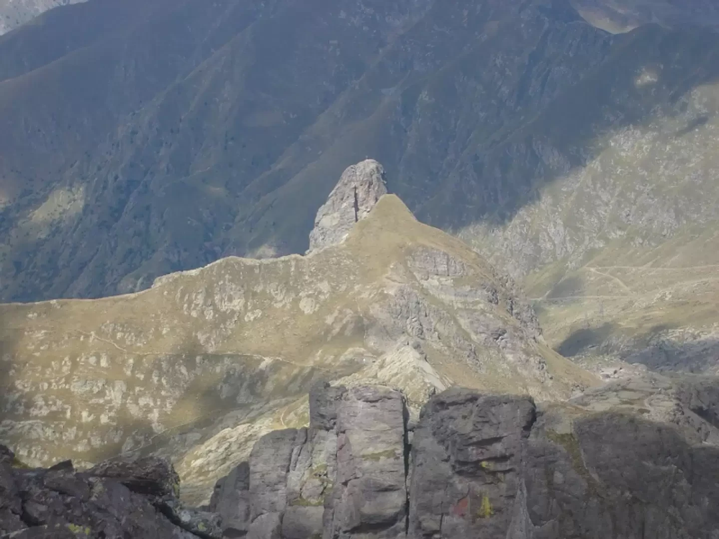
You pass the Cedrino and Gandazzo hills, to climb steeply up the slope (spring) that leads to the zucco del Corvo, to the right of which you pass an exposed ledge (be careful with snow) that leads to the Passo del Toro, "cut into the rock, straddling two deep and precipitous valleys".
The ledge can be avoided by climbing to the top of the zucco del Corvo and descending along a chain before the passo del Torno.
The trail continues for a long time without gaining altitude until it reaches the bocchetta di Foppabona from where the refuge can be seen.
Now the trail loses altitude and with a turn under the zucco Valbona reaches the capanna Grassi, m. 1987 (two hours from the plans of Bobbio).
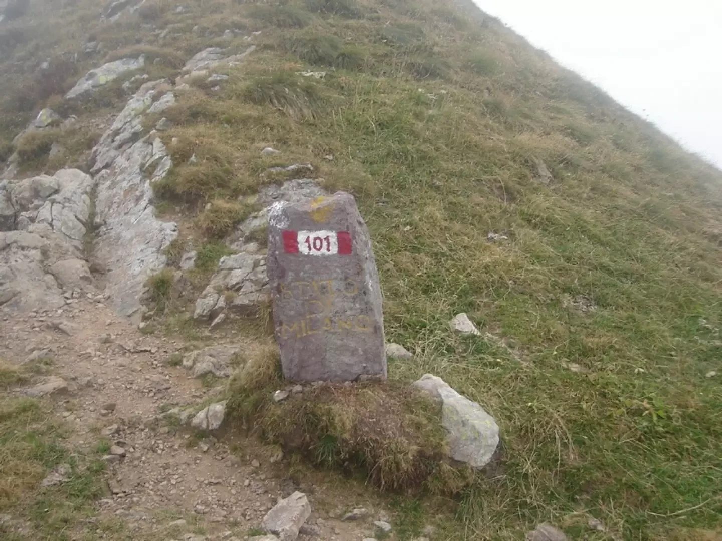
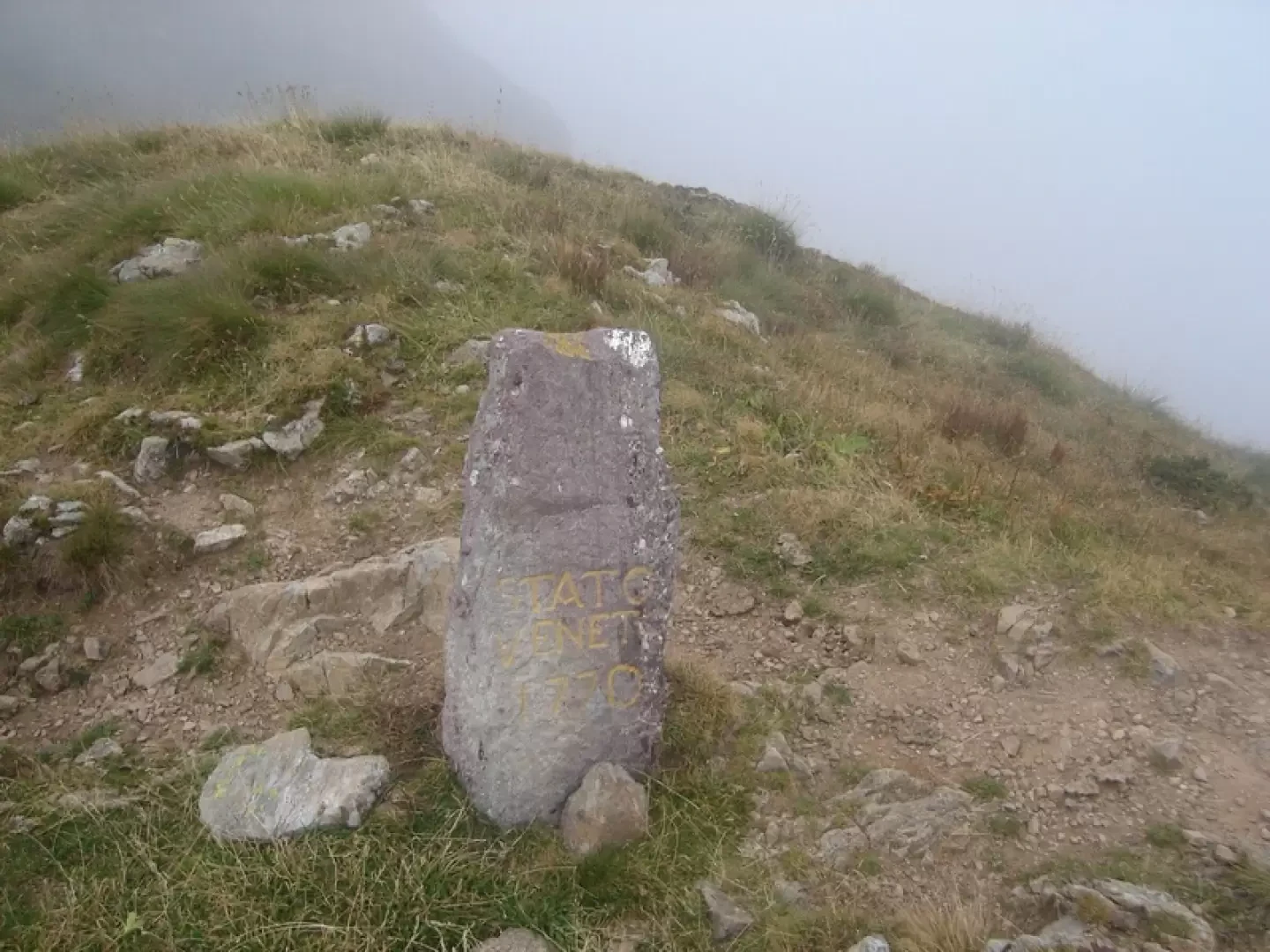
From the Grassi refuge, follow the path marked with the number 101, following the ridge that overlooks the Biandino valley.
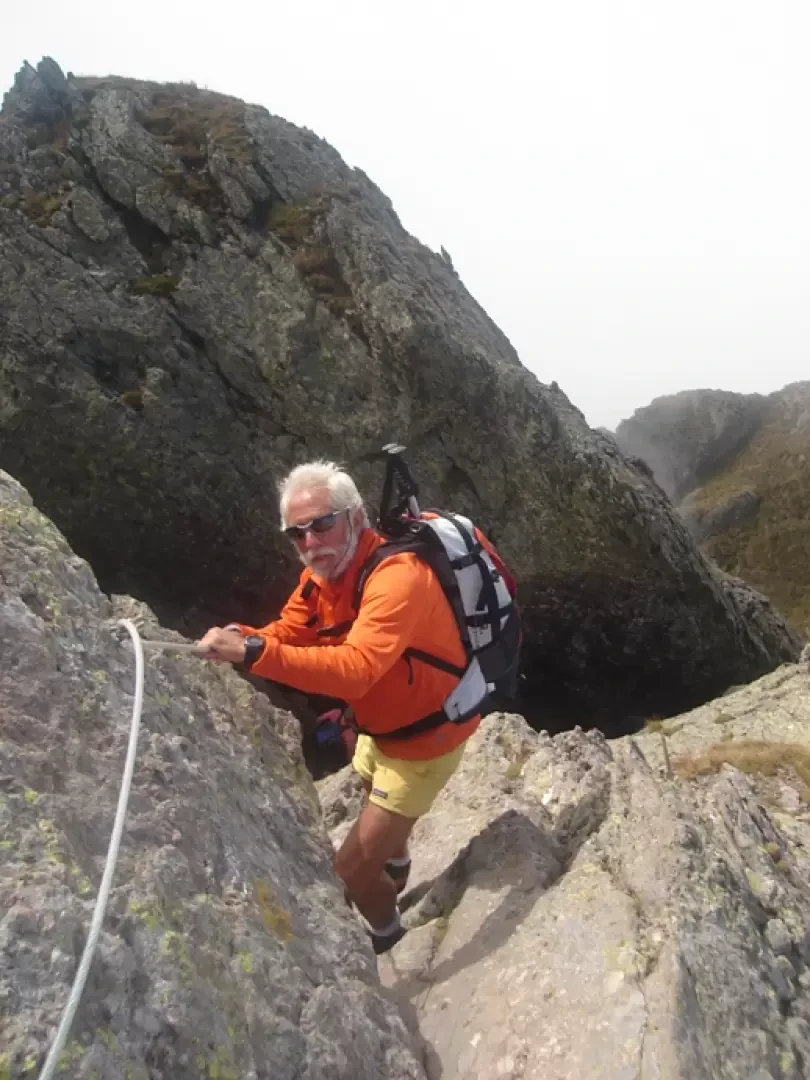
You pass a small peak with the help of fixed ropes, reach the "piano delle Parole" (Cartello), formerly known as "Pian di sass", pass a border stone between the Veneto and Milan states and reach the junction for the Benigni hut.
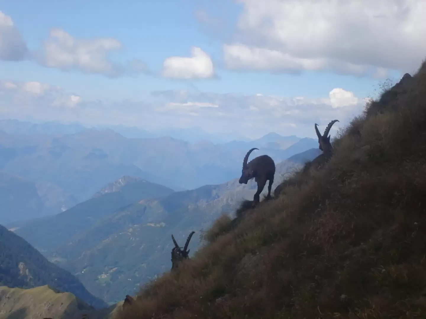
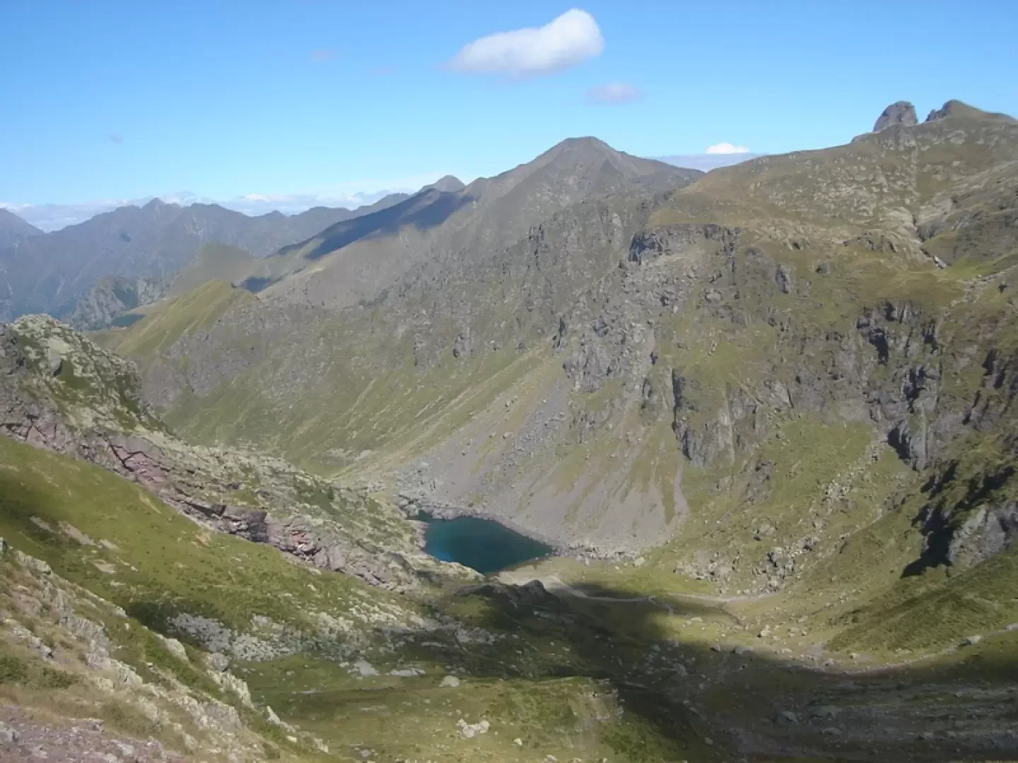
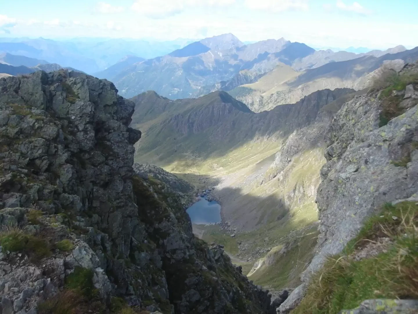
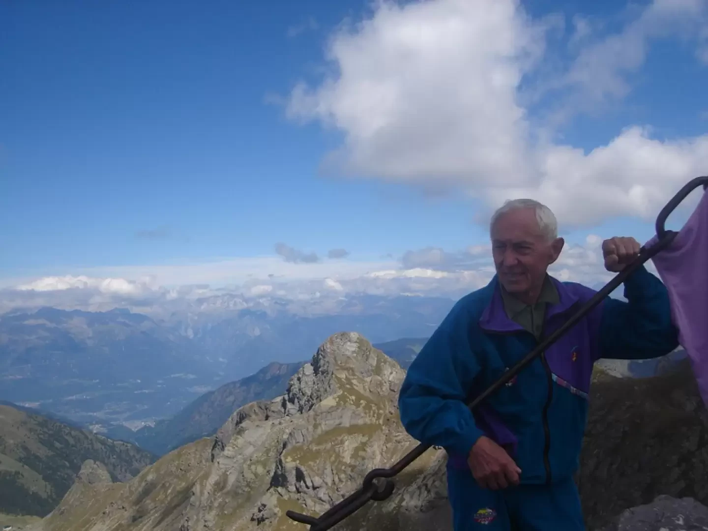
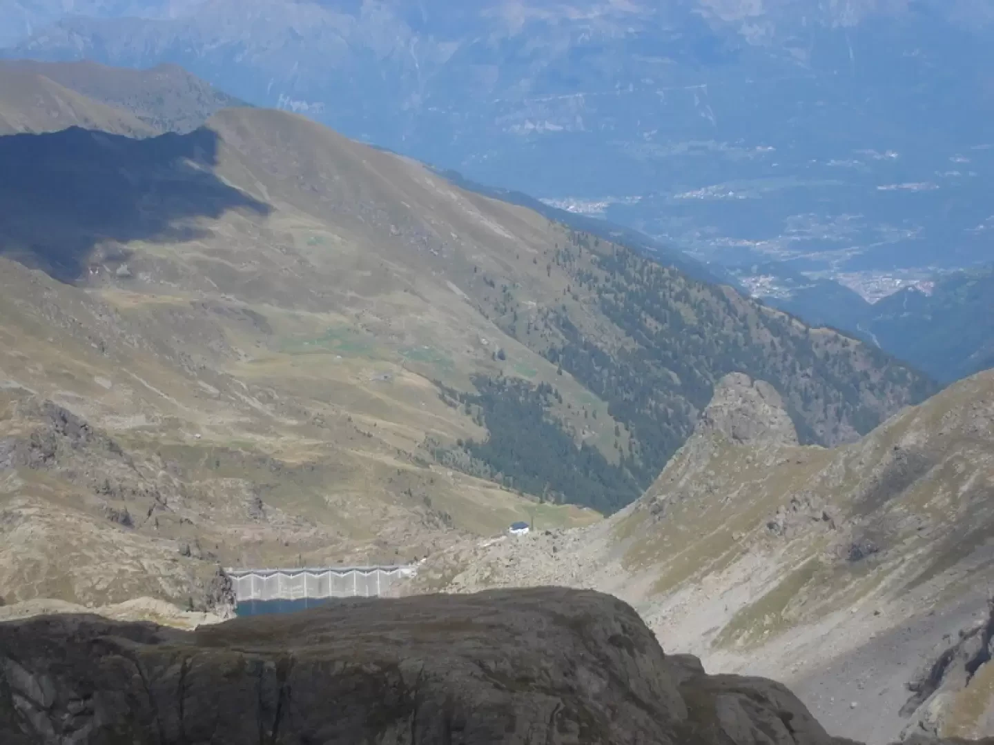
Beautiful views over the Biandino valley and the Sasso lake.
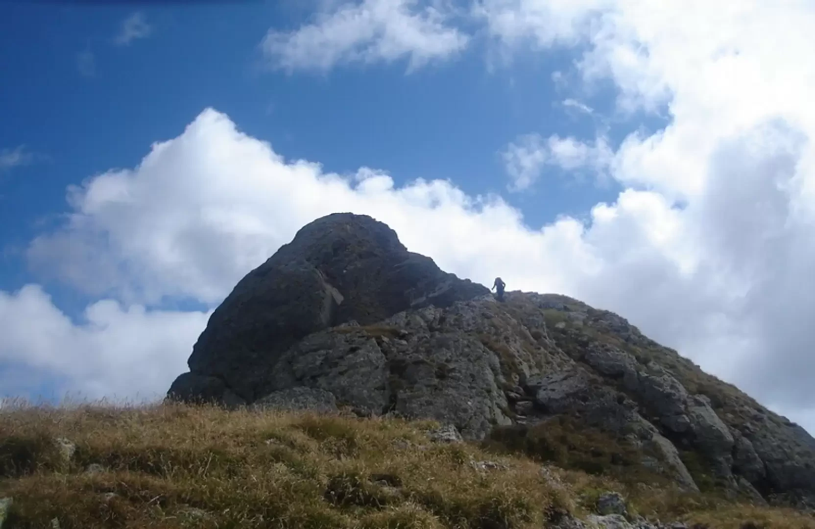
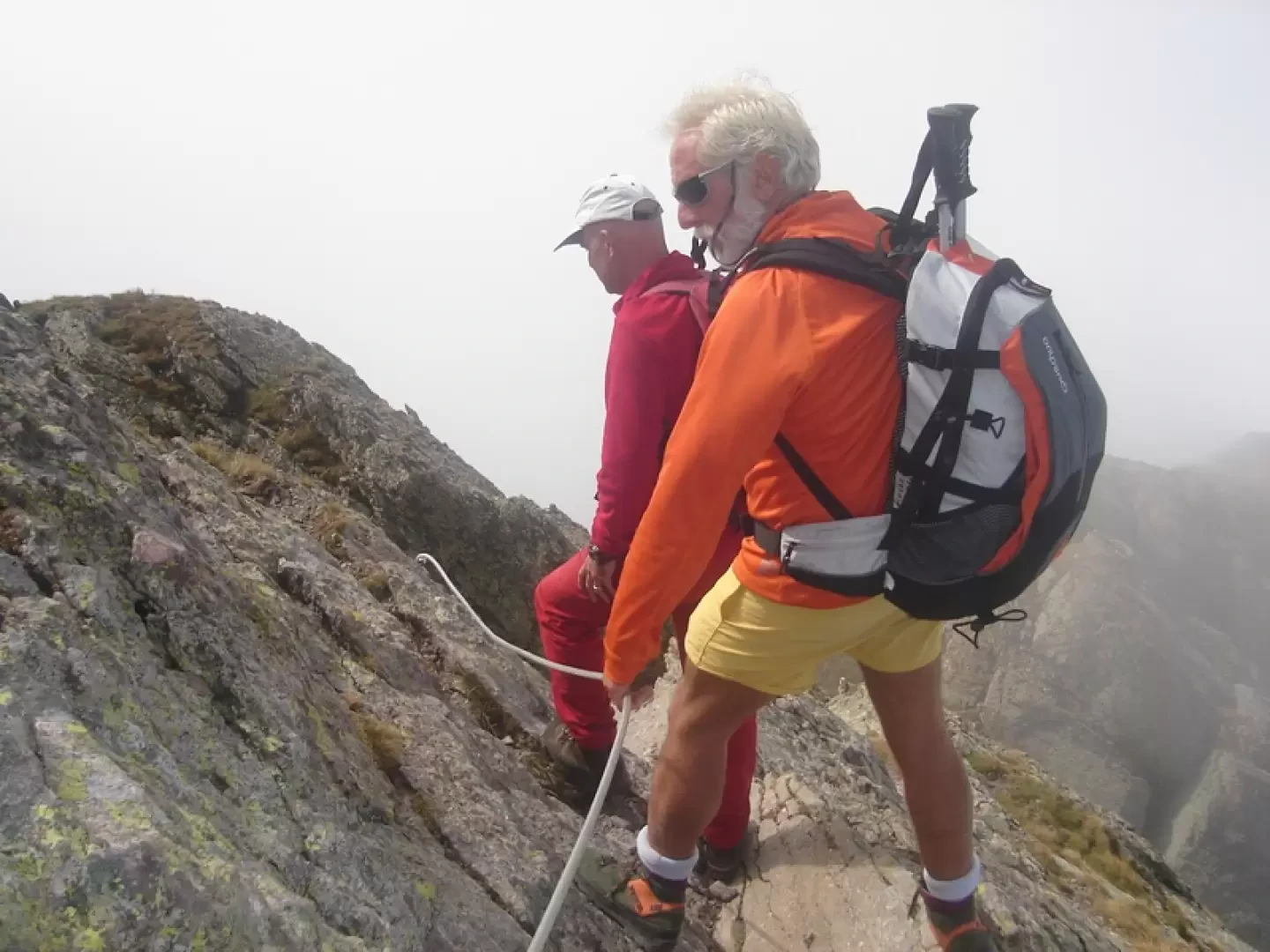
You climb to the left, with the help of fixed ropes that are not indispensable (you can pass anywhere), until you reach the western ridge from where you can see the summit.
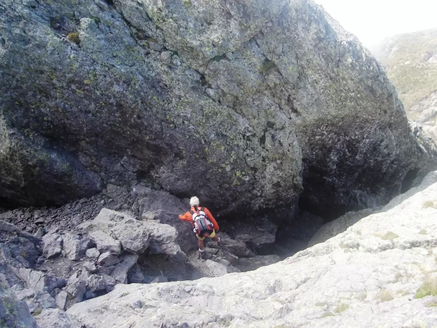
In just a few metres you are at the entrance to the "Caminetto", which is a fairly leaning gully with an easy route.
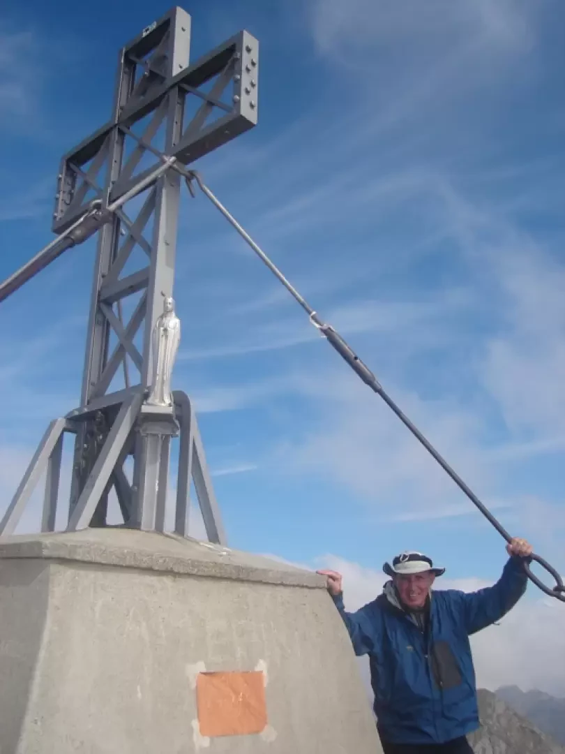
At the exit with a ledge and some rocks, exposed but very easy (fixed ropes, lifted in 2008 and reinstated in 2011) you reach the summit, descend to a small saddle and climb up to the large summit cross.
Cutting chains or fixed ropes is a speciality of the area, it has also happened on the direttissima in Grignetta and on the pizzo Trona.
Two hours from the refuge.
Photo gallery

Comments (0)
Sign in to leave a comment