Pizzo Camoghè, from Colla


Edited by:
Marco Bonati
Updated at: 14/03/2025
Access
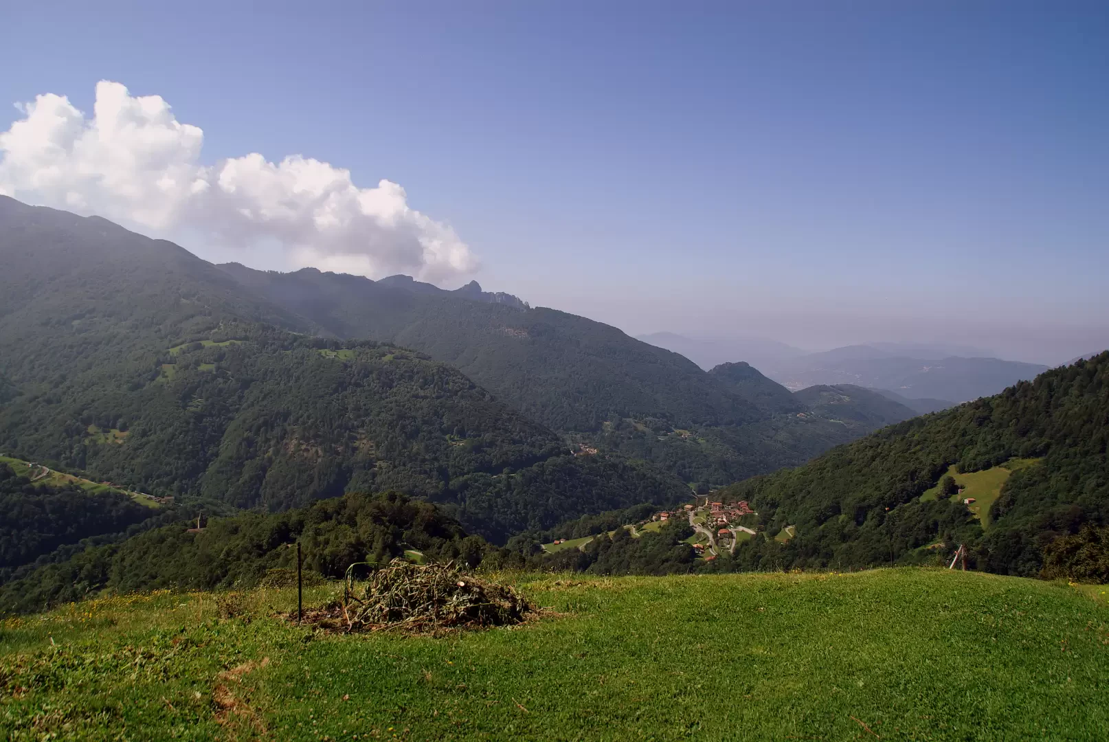
From Como to Chiasso and Lugano; from the city centre follow the signs for "Tesserete" and then "Val Colla". You travel along the entire valley, passing through the small villages of Roveredo, Bidogno, Corticiasca and Signora, until you reach Colla: two small car parks at either end of the village.
.Introduction
Classic excursion in Canton Ticino to a peak famous for its open panorama over much of the circle of the Alps and the heights between Lake Como and Lake Maggiore. The route is well signposted, with signposts at every possible fork in the road; a little sparse and shabby are the signs on the ground.
Description
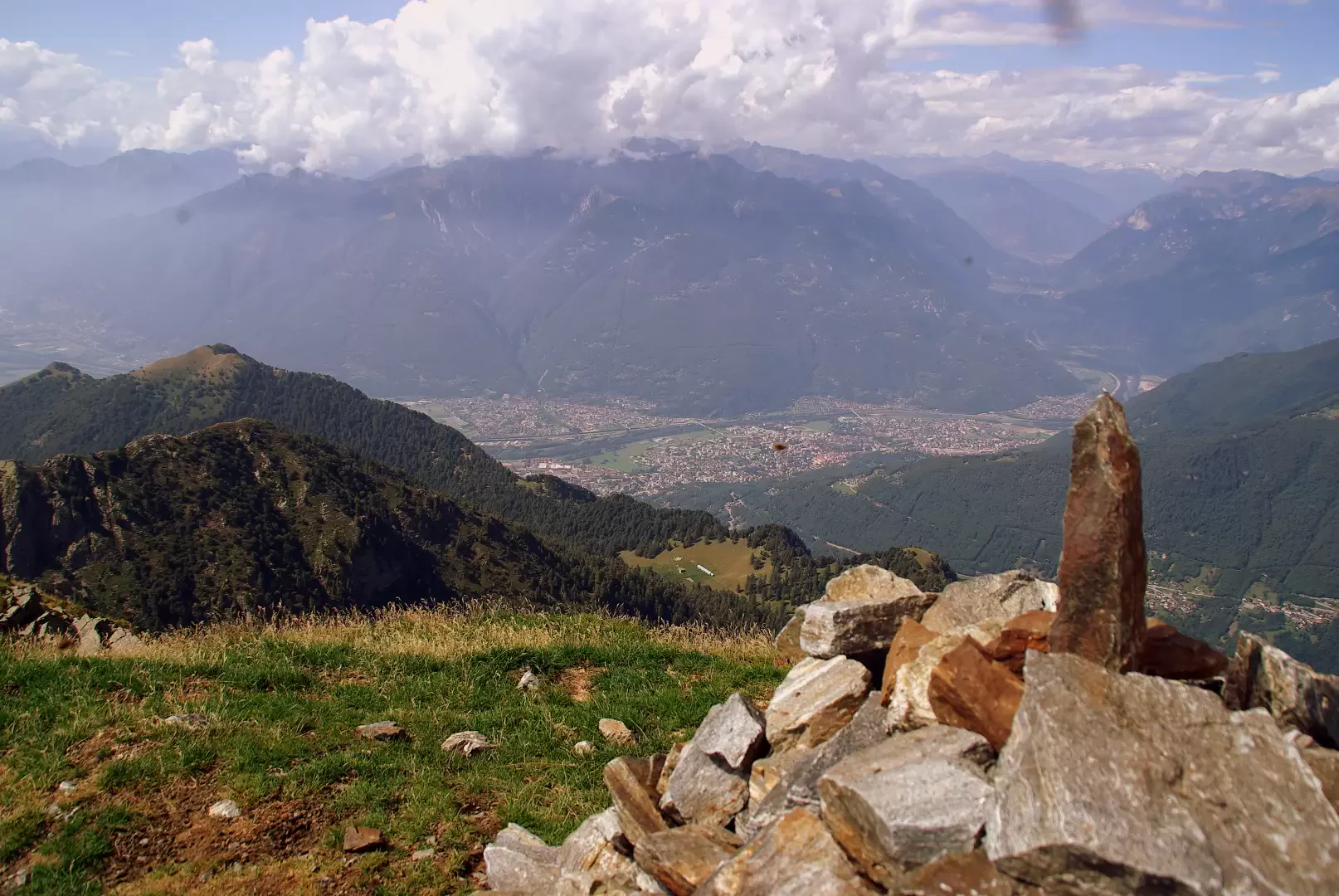
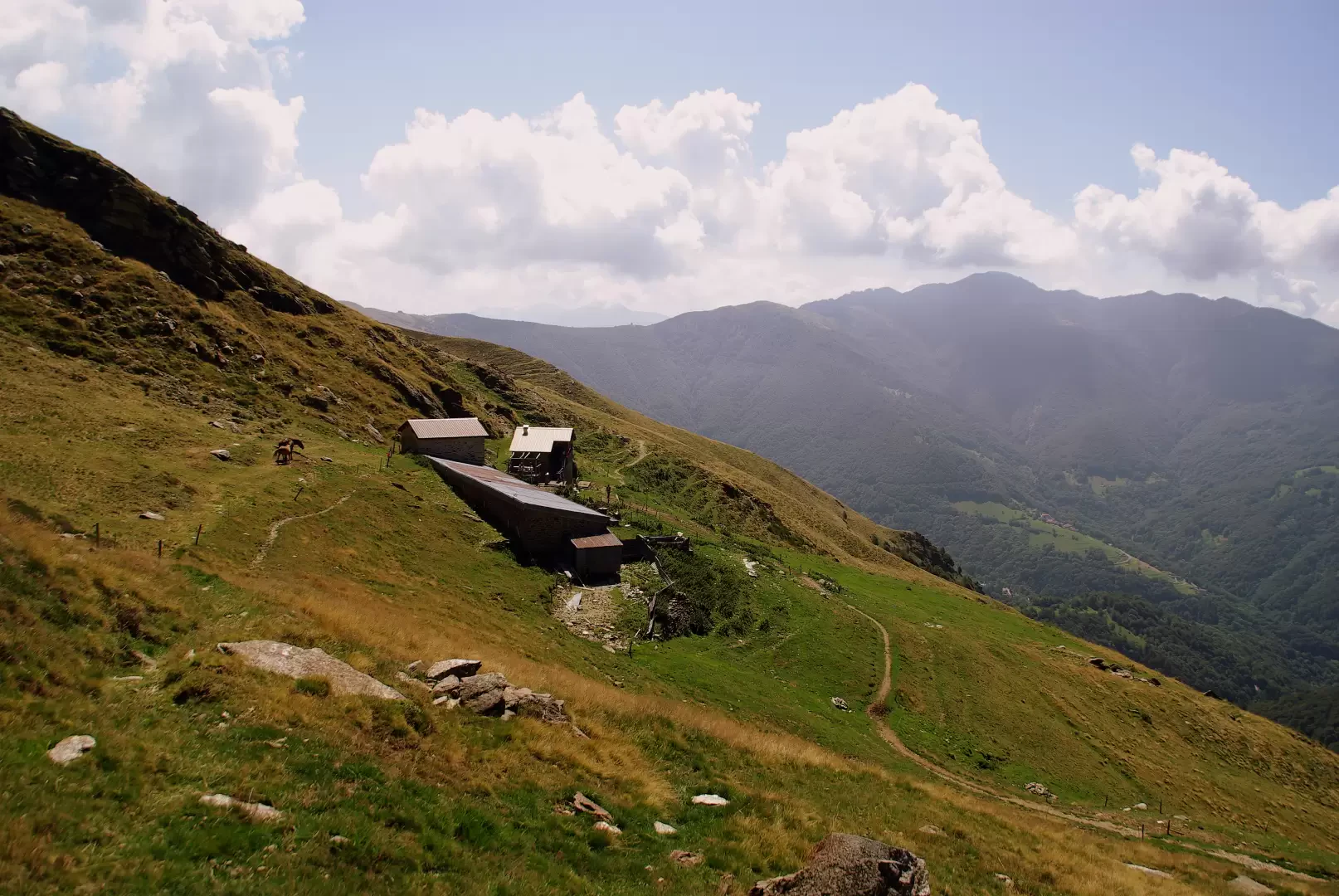
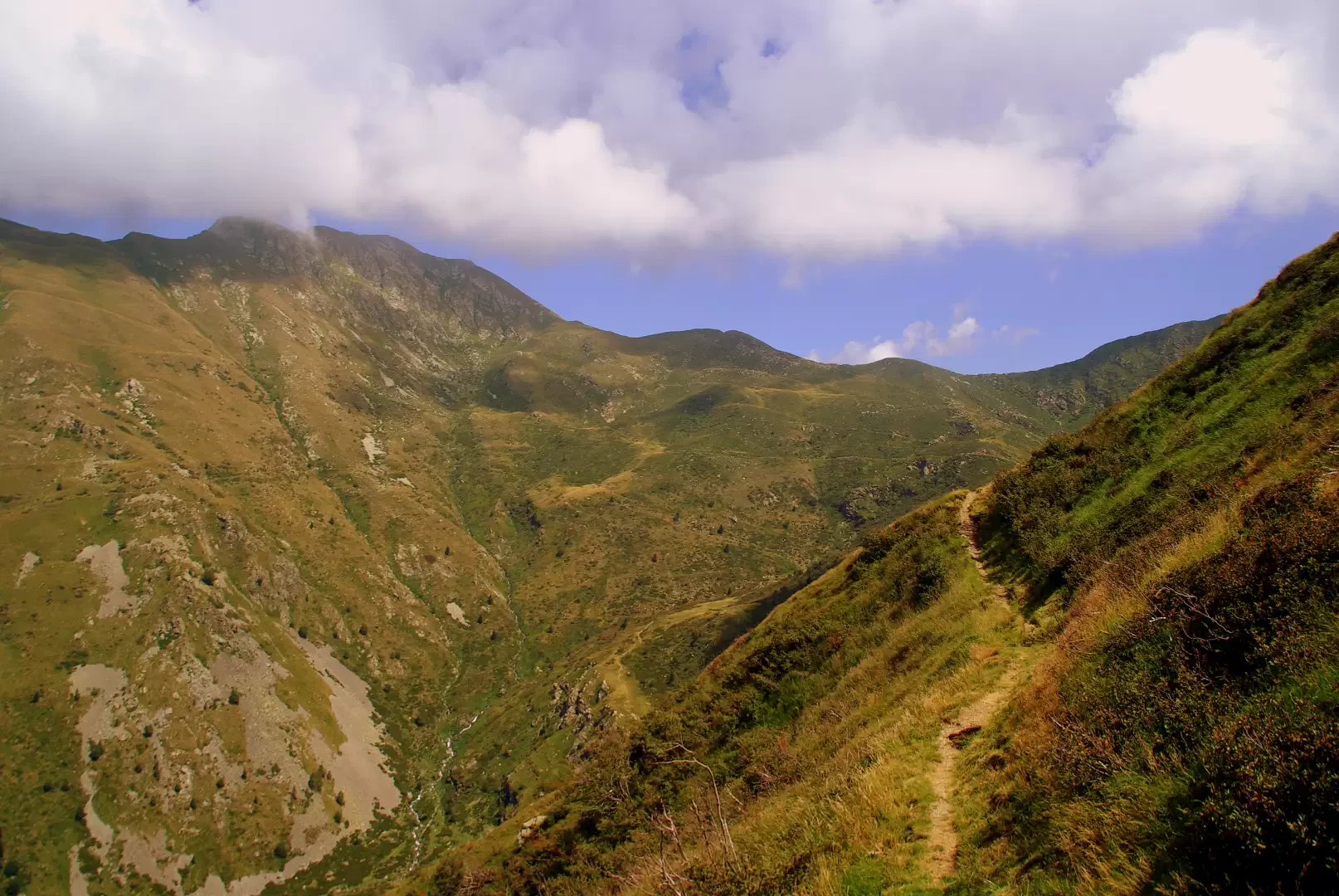
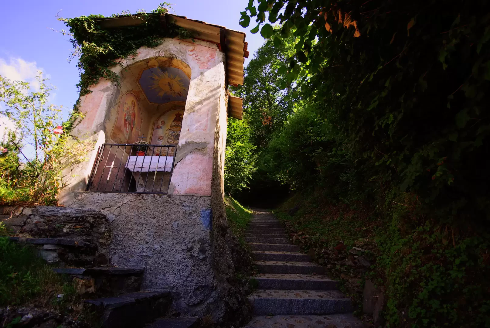
From the small village of Colla 1054 m, following the arrows, take a steep flight of steps that leads to the square in front of the S.Nicolao church; from here, the private road that leads to the residential alpine pastureland of Barchi 1243 m starts out (it is convenient to follow the shortcuts, even if they are steep and stony). Leaving the beautiful huts behind, one begins to follow, either on the ridge or halfway up the right-hand side, a long barren crest that climbs the secondary Valle del Ciapellone: almost at the top, one crosses a beautiful path (adapted for mountain-biking on the Passo S.Lucio - Monte Bar route) that one follows briefly to the left until the Alpe di Pietrarossa buildings 1549 m. The trail continues to the left until it reaches the Gazzirola - Monte Bar ridge at Bocchetta di Pozzaiolo; reverse direction, climbing to the right until a fork in the road at Pozzaiolo 1715 m (in season, presence of a small lake-water trough). Leaving the path for the Gazzirola to the right, we continue at length with an up and down hillside in Valle di Sertena (See NOTE); having reached the terminal pasture amphitheatre - "Corte" - we climb the stony slope that leads to Bocchetta di Revolto 1947 m. On the left, in front of us is the shoulder of Pizzo Camoghè to be climbed with precise and regular (but steep) hairpin bends: having reached a grassy peak, a short traverse facing the Morobbia Valley leads to the small summit chapel 2228 m. After the ruins of a mountain hut, a few careful steps along an exposed traverse lead to the secondary summit, which is a little more spacious and equally scenic.
Return along the outward route. From the locality of Pozzaiolo, going straight down through the pastures, it is possible to reach the cycle track without going around the Alpe di Terrarossa.
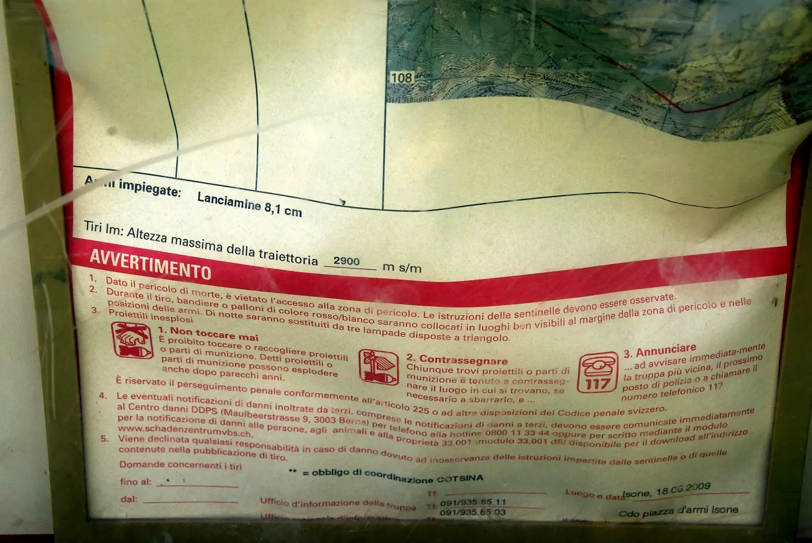
From the Bocchetta di Pozzaiolo to the summit (perimeter including the entire Sertena Valley), you go through military territory used as an artillery firing range: on every access path there are notice boards with dates and characteristics of the firing activities, and the consequent prohibitions.
Exposed sections: passage between the two peaks
Photo gallery

Comments (0)
Sign in to leave a comment