La Cornetta, from Moggio


Edited by:
Benedetto Lorusso
Updated at: 05/08/2024
Description
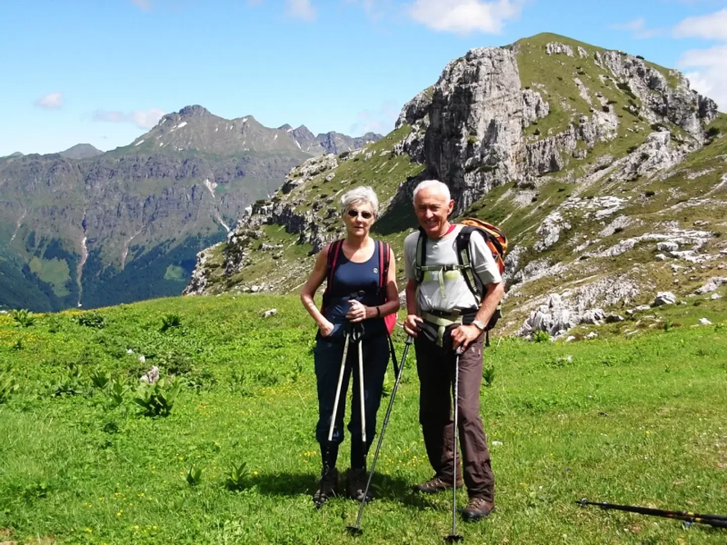
From Moggio, follow the path that leads to the Artavaggio plans as far as the ex-Casari hut (1.30 hrs).
A few dozen metres after this construction you leave it to follow a path to the left (cairn) that climbs into the woods. At a crossroads, continue to the right until you reach an intersection that leads northwards to the large plain above which nestles the Cazzaniga refuge, which you leave to the right to aim, passing the path of the small roads, at the Campelli gap open between the zuccone Campelli and the summit of Piazzo.
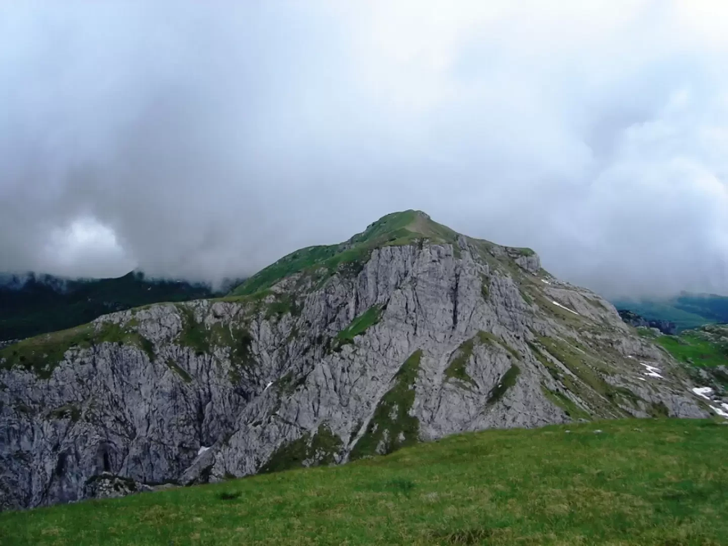
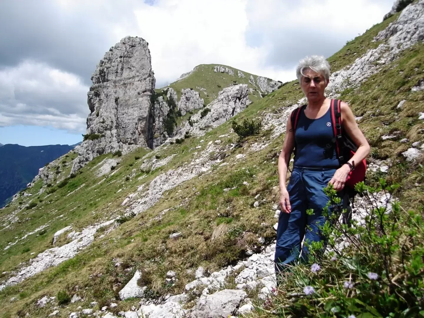
From here you can see the mountain with its little man at the top.
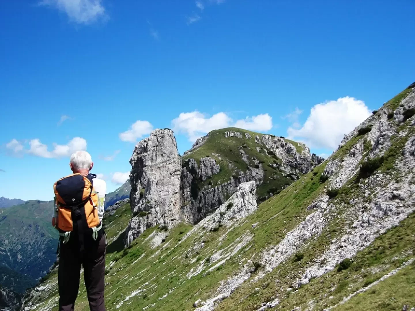
Continue to the NW of the latter aiming at the Valsecca fork between the summit of Piazzo and the Cornetta.
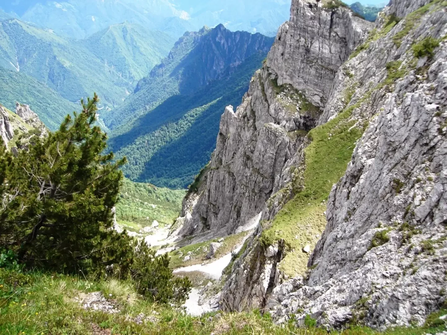
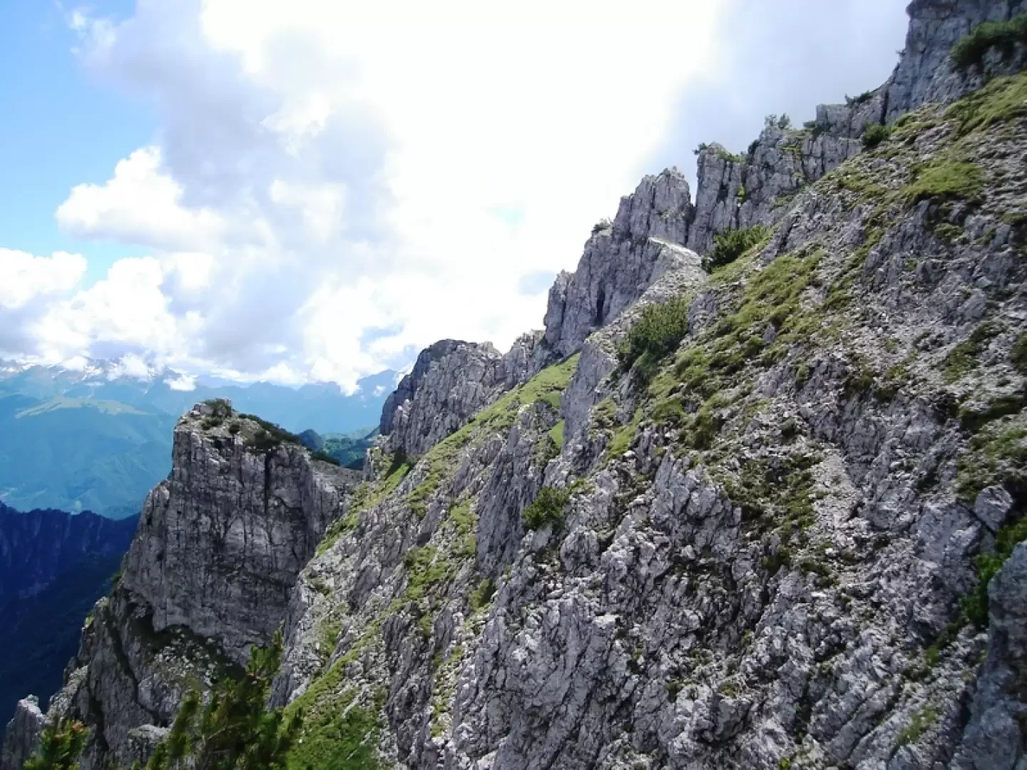
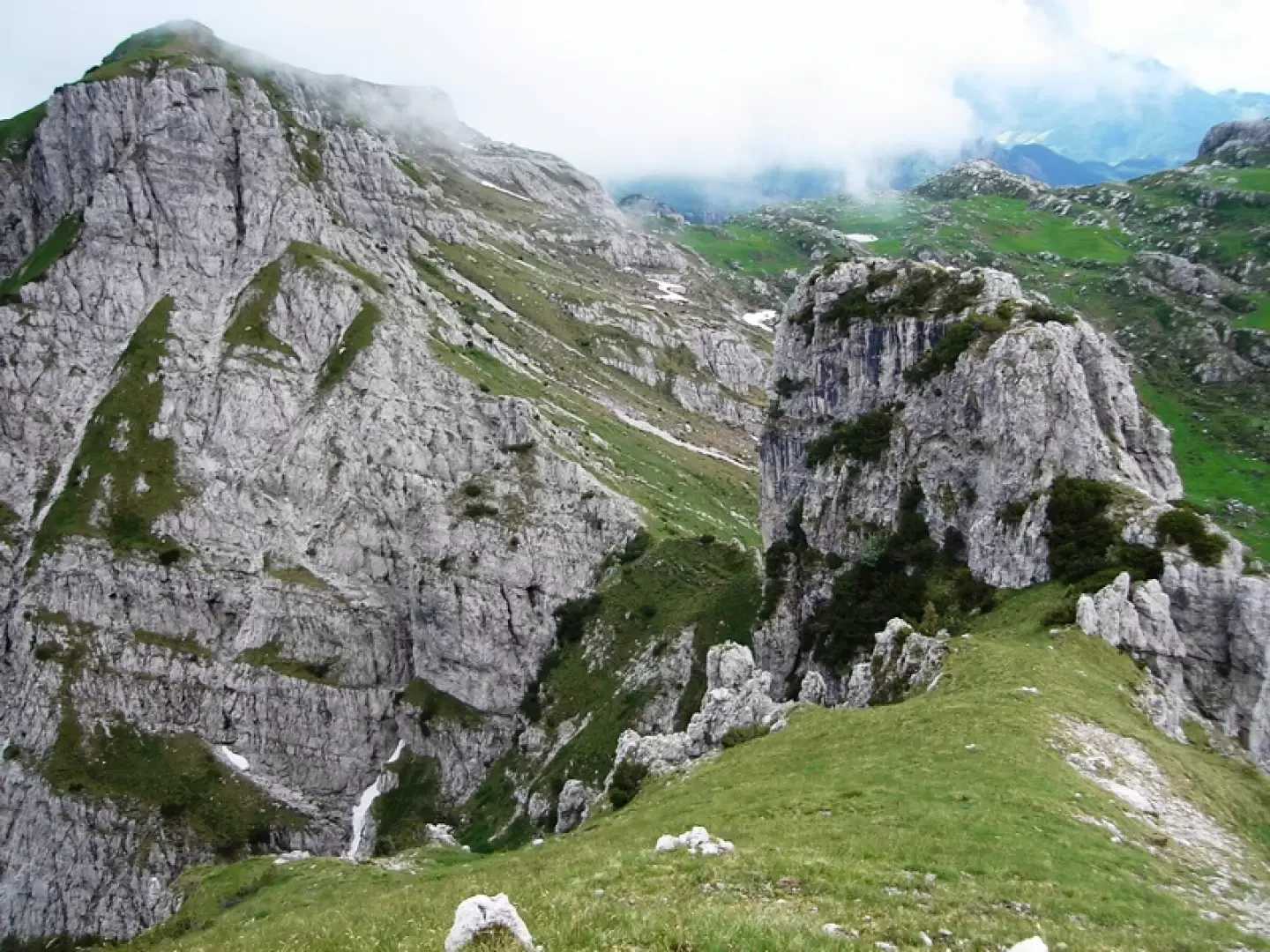
From the pass, the southern slope of the mountain appears, a series of grassy and rocky jumps that are apparently not easy to cross.
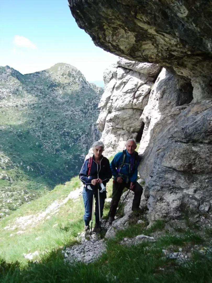
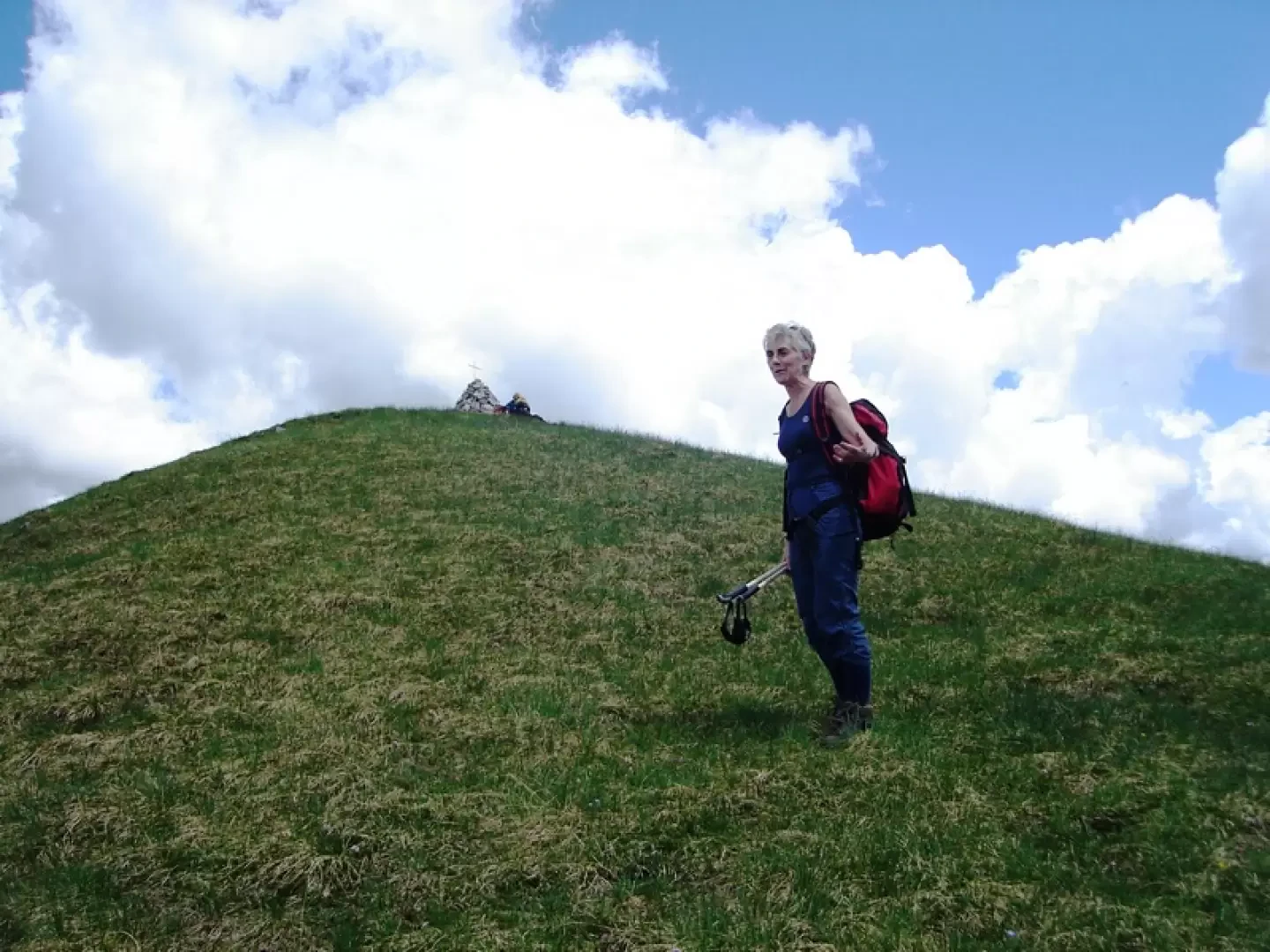
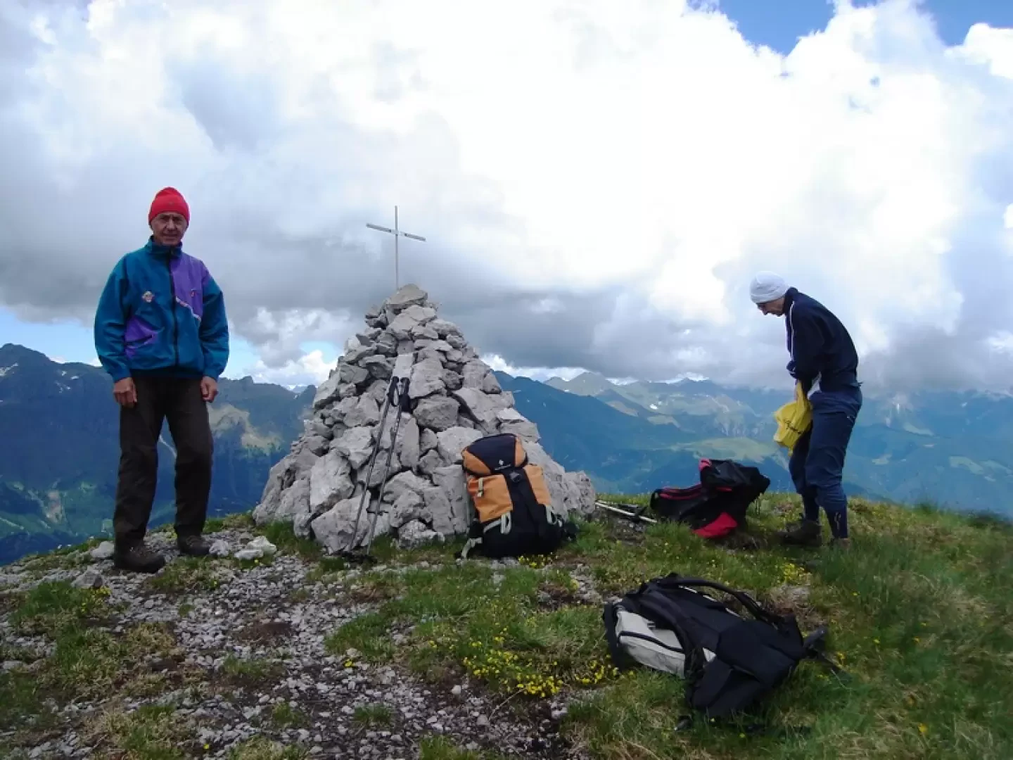
There is then the entire western slope of the mountain on rare passing traces until you see a more marked track that you can reach steeply and that allows you to cross a jump and arrive at a saddle at the beginning of the southern crest, steep and grassy that leads to the cairn with the summit cross.
.
Photo gallery
Comments (0)
Sign in to leave a comment