Rifugio Tuckett, from Rifugio Vallesinella


Edited by:
Androcolo
Updated at: 09/05/2026
Access
Introduction
This itinerary takes us to one of the many refuges on the Brenta group, from where it is possible to set off on more demanding climbs, on equipped trails, or continue on to other refuges such as Tosa, Graffer or Brentei.
Description
The starting point for this excursion is to drive to the Vallesinella Refuge and from there take the path that leads first to the Casinei Refuge and then to Tuckett, but when we arrive at the entrance to the restricted traffic road we are told that access is only allowed until ten o'clock. We therefore decide to park the car and take the bus up to the refuge, but when we get to the bus stop the attendant informs us that for technical reasons the 11 o'clock bus had been cancelled, and as it is only 10.45 we decide to get to the refuge on foot along the tarmac road that winds for four kilometres inside the park on a slight slope.
On arrival at Vallesinella, we head towards the path that takes us to our first stop, the Casinei Refuge. It starts at the park's information hut and descends towards the stream that comes from the waterfalls of the same name; we cross a small wooden bridge and find ourselves on the other side to begin the climb. The path winds its way entirely through the forest, climbing up steps made of logs, stones and tree roots.
It takes almost an hour to reach the hut where a wooden statue of a hiker is waiting for us. The refuge is nice and has a beautiful terrace with tables, children's games and kittens. In fact, we are met by a kitten a few months old who shows that he likes not only something to eat but also the cuddles that perhaps no one else gives him. We therefore sit down on a bench to catch our breath and we lavish him with cuddles, which the little guy reciprocates by making crazy fuses. Once he has had his fill of both cuddles and the little food we could offer him, too small to eat the super-aged cheese we had behind us, we take the path to Tuckett.
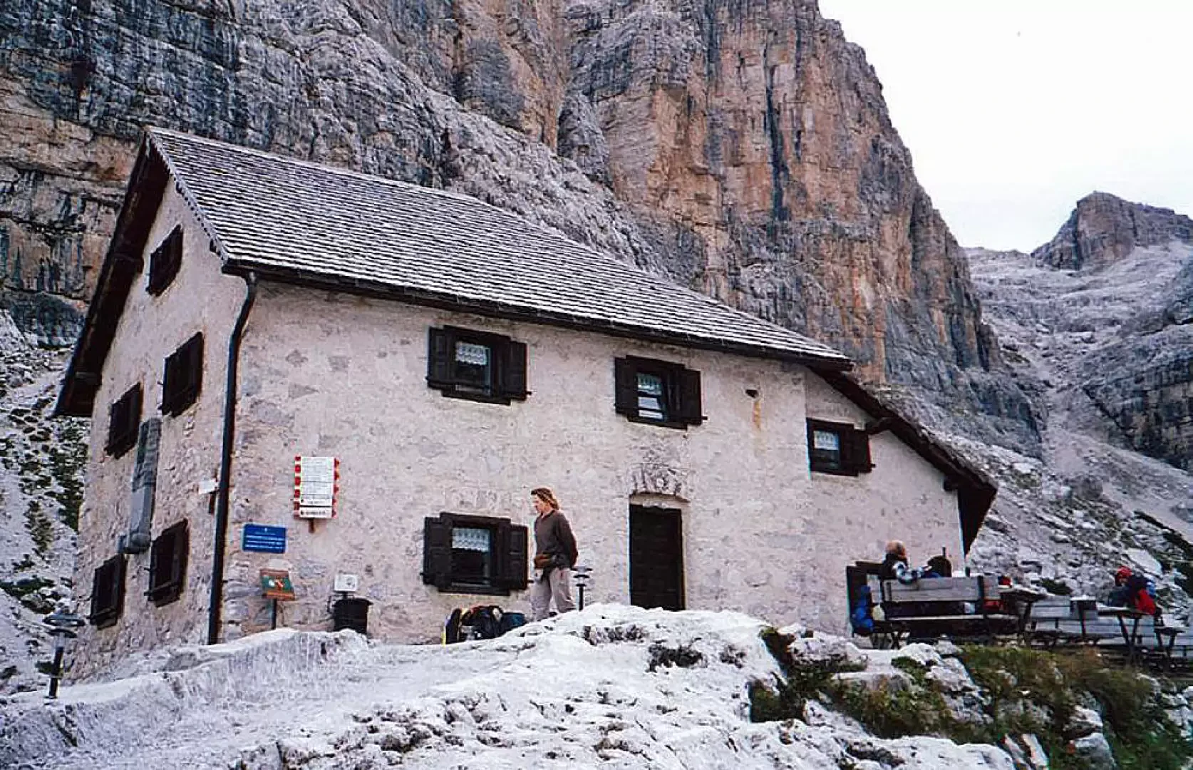
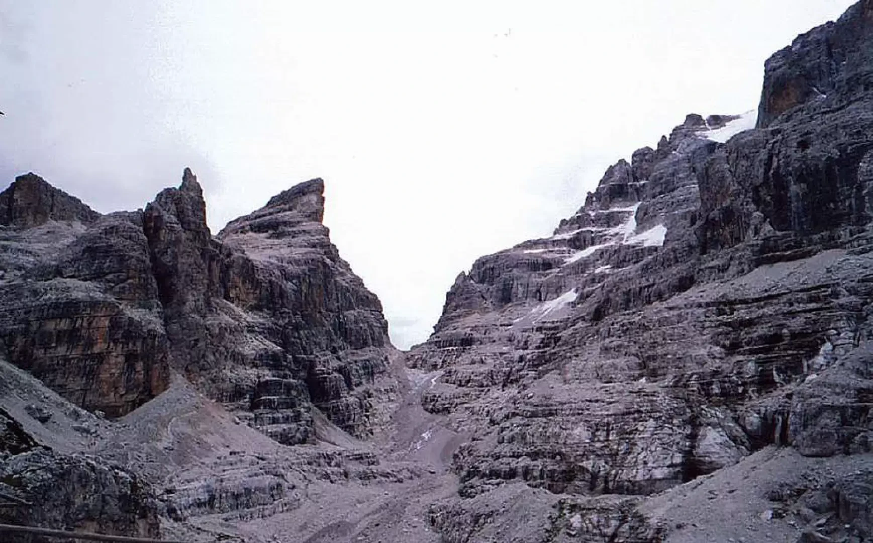
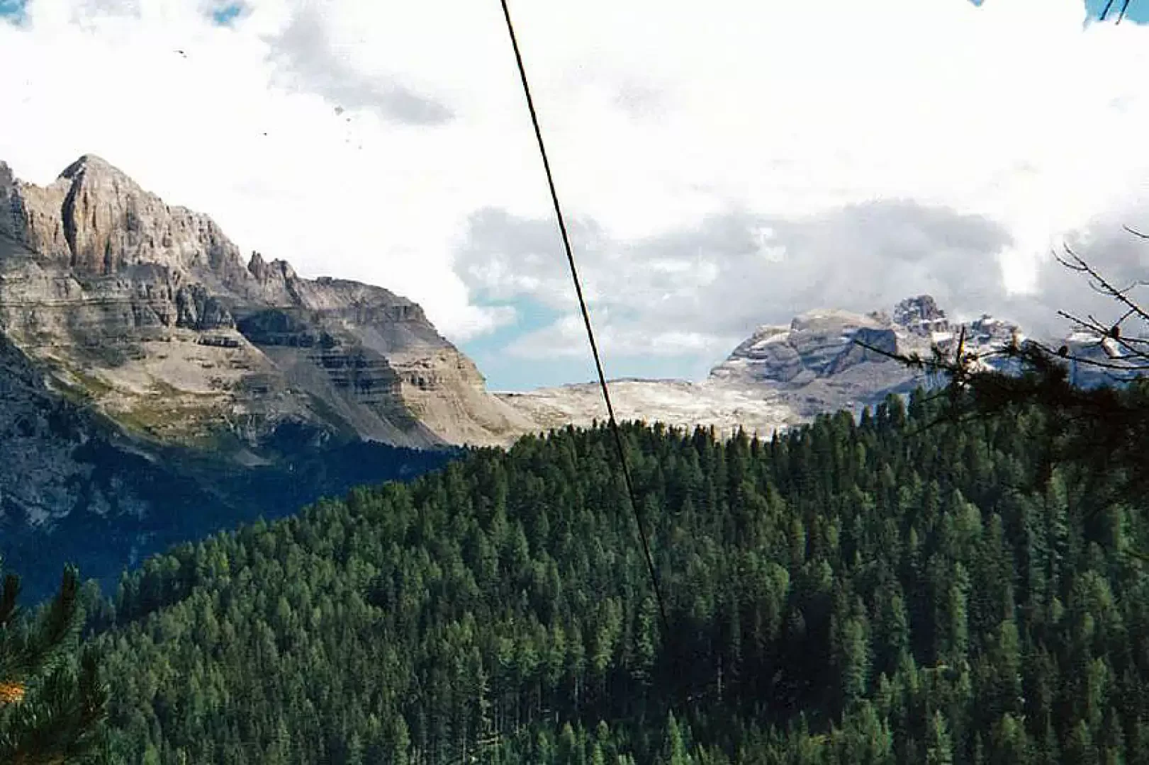
At first, the path follows the ridge of the mountain on a false level until it begins to climb towards the peaks above us in a more rocky path. At a certain point, having passed the ropes of the cable car that bring food to the hut, the path becomes more impassable and takes on the appearance of those seen on television, rock and stones everywhere. The climb takes us about forty minutes and it takes us an hour and forty-five in total to reach the refuge, but, in fact, the efforts are worth what the view offers us. Having passed the helicopter landing site, we arrive at the hut, which stands out amidst two wings of mountains towering above it.
Obviously, as soon as we arrived at our destination, the sun thought to hide behind a blanket of clouds that had meanwhile moved over the surrounding mountains. The hut consists of two complexes, one of which is used as a restaurant as well as a home for the hikers/mountaineers staying there. The two buildings are from different eras; in fact, one is called Sella in honour of a local mountaineer and the other was erected by a group of German mountaineers in love with the beauty of the place and named after the mountaineer Francis Fox Tuckett.
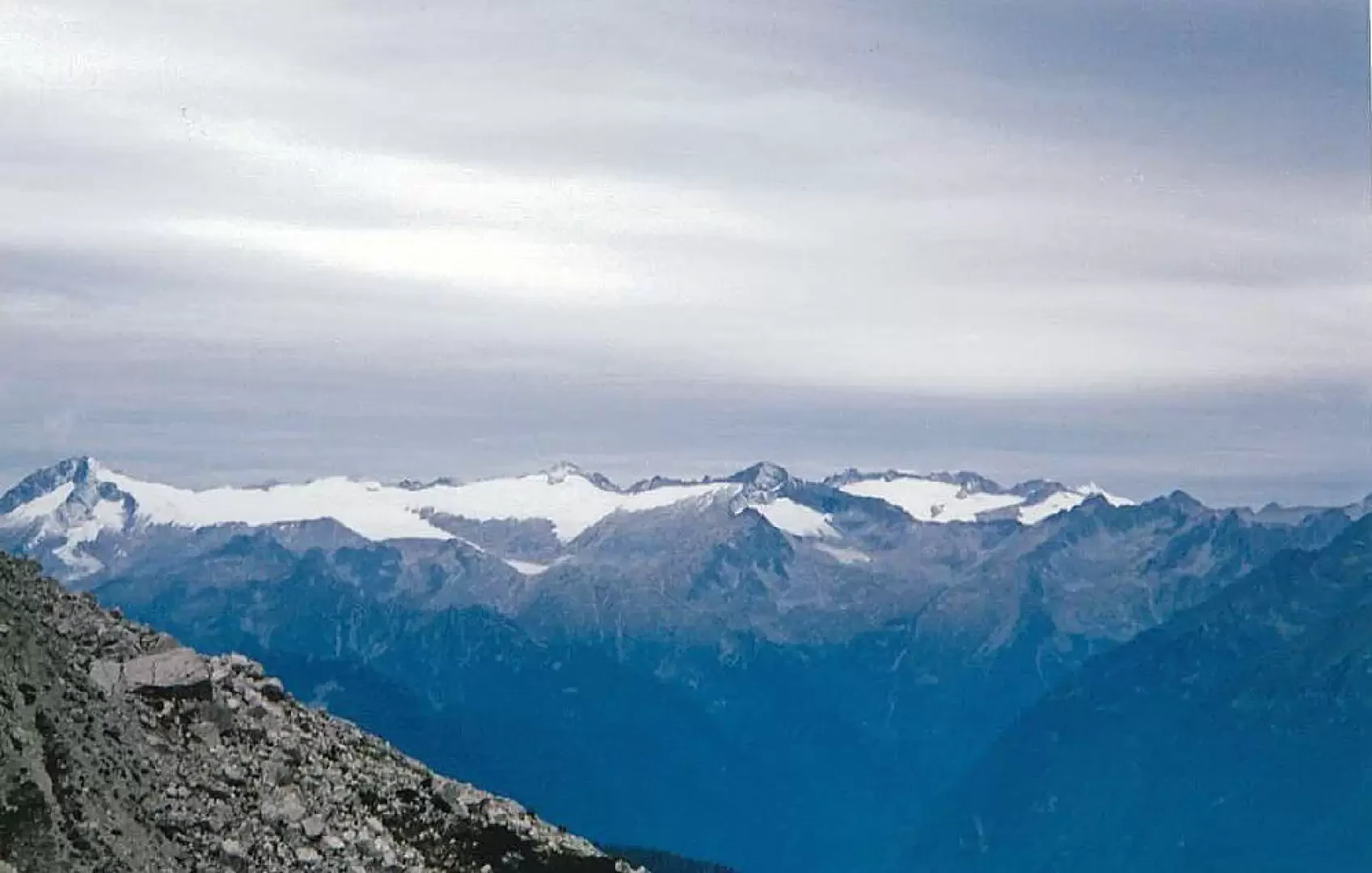
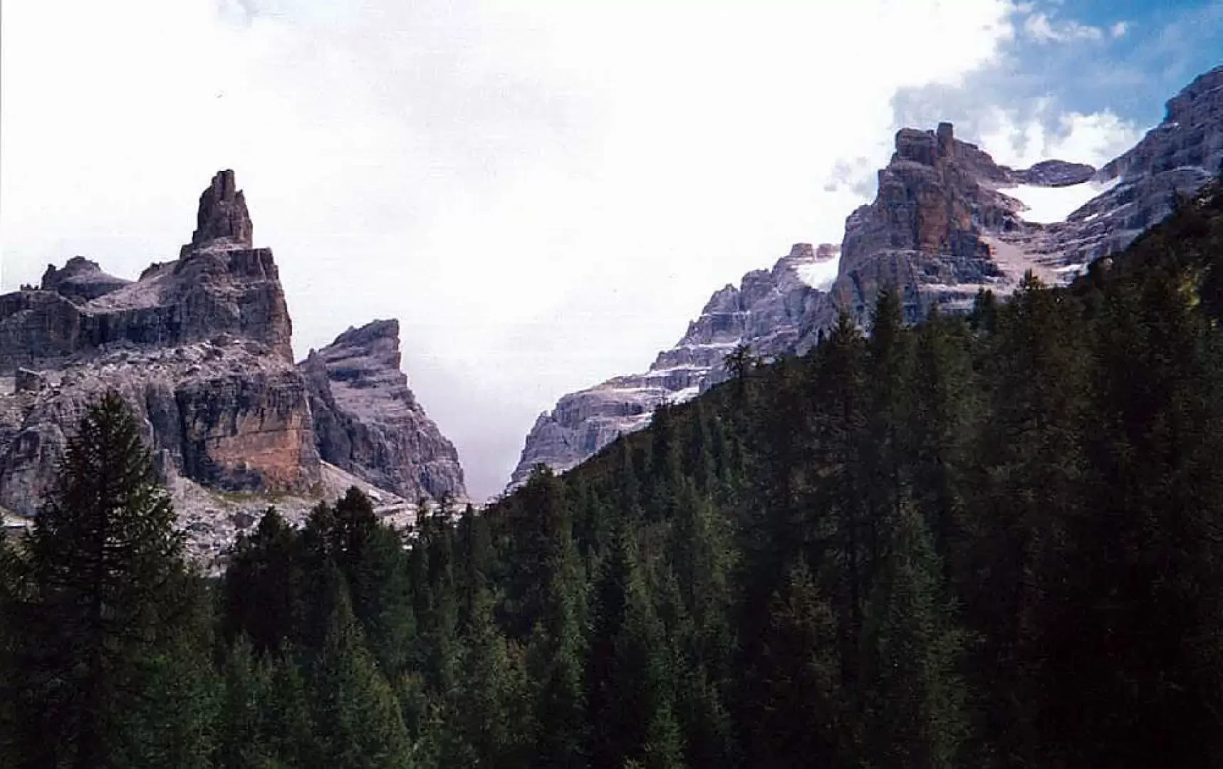
Seriously damaged during the First World War, they were taken over by the SAT (Società Alpinistica Trentina), which restored them and still manages them today. The panorama opens out over the valley of Madonna di Campiglio, the ridge of Spinale and Grosté, and all around soar the peaks of the Brenta group.
We marvel at the number of crows hopping between the tables to retrieve the food that people leave on the table or on the floor, they even go as far as you to steal a chip that has fallen from a previous banquet. We eat our banquet outside, even though the temperature is supposedly around 4÷5 degrees, we go inside at the end to have a warm drink.
At 15:15 we start our descent towards the Casinei hut and consequently to Vallesinella. Around 16:40 we arrive at the Vallesinella refuge from which we had decided to take the bus back to the point where we had parked the car but the waiting time is too long and our legs still have some reserves of strength, so we decide to continue on foot along the same road we took on the way up to the car.
.- Brenta Dolomites Adamello-Presanella Val di Sole, Carta Topografica, foglio 10, 1:50000, Casa Editrice Tabacco, 2006
Photo gallery
Photo gallery
Comments (0)
Sign in to leave a comment