Assietta Pass

Edited by:
Nino Malavenda
Updated at: 29/05/2025
Introduction
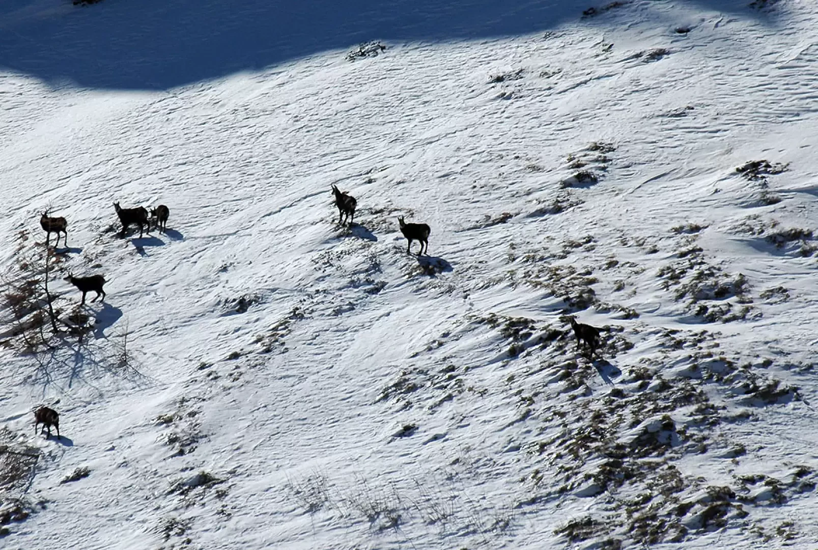
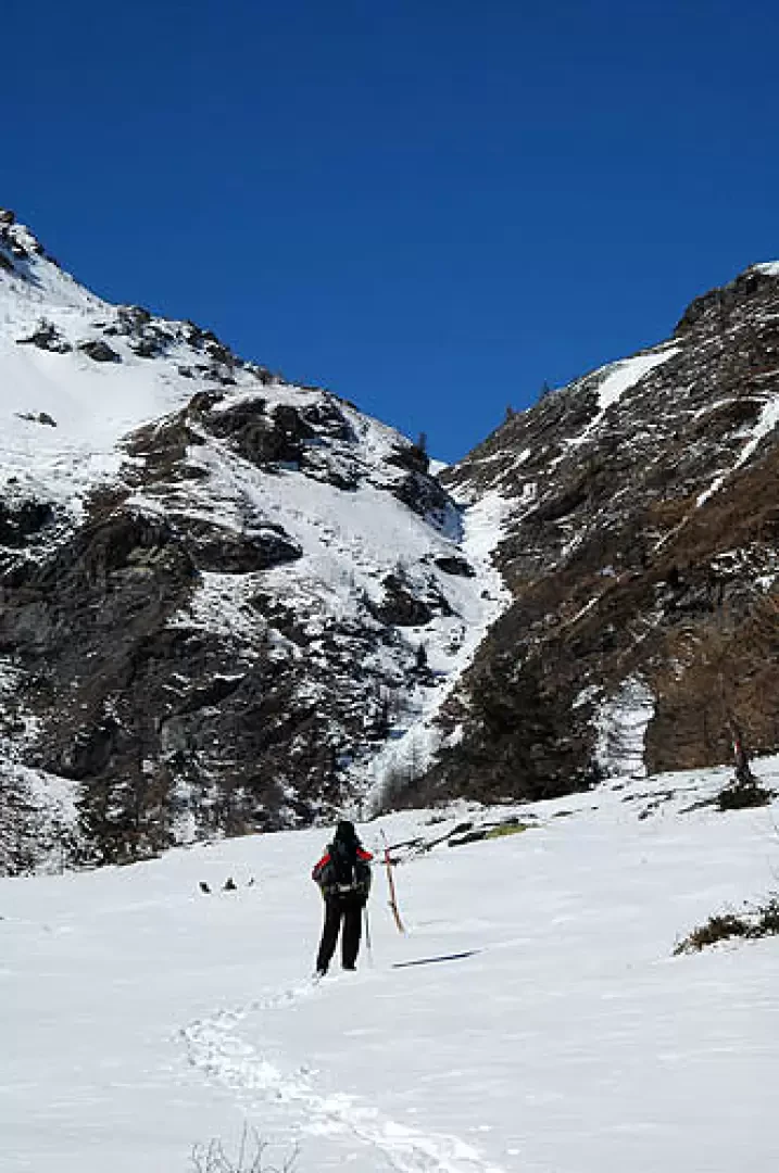
A very simple and suggestive route that can be done in two different ways: following the dirt road in winter with snowshoes, or following the path from Balboutet in other seasons. On the way, you can observe many birds (Cince and Alpine reindeer above all) and numerous groups of Chamois. Also, with a bit of luck, there is some possibility of observing an Eagle or spotting Wolves that frequent the area.
Description
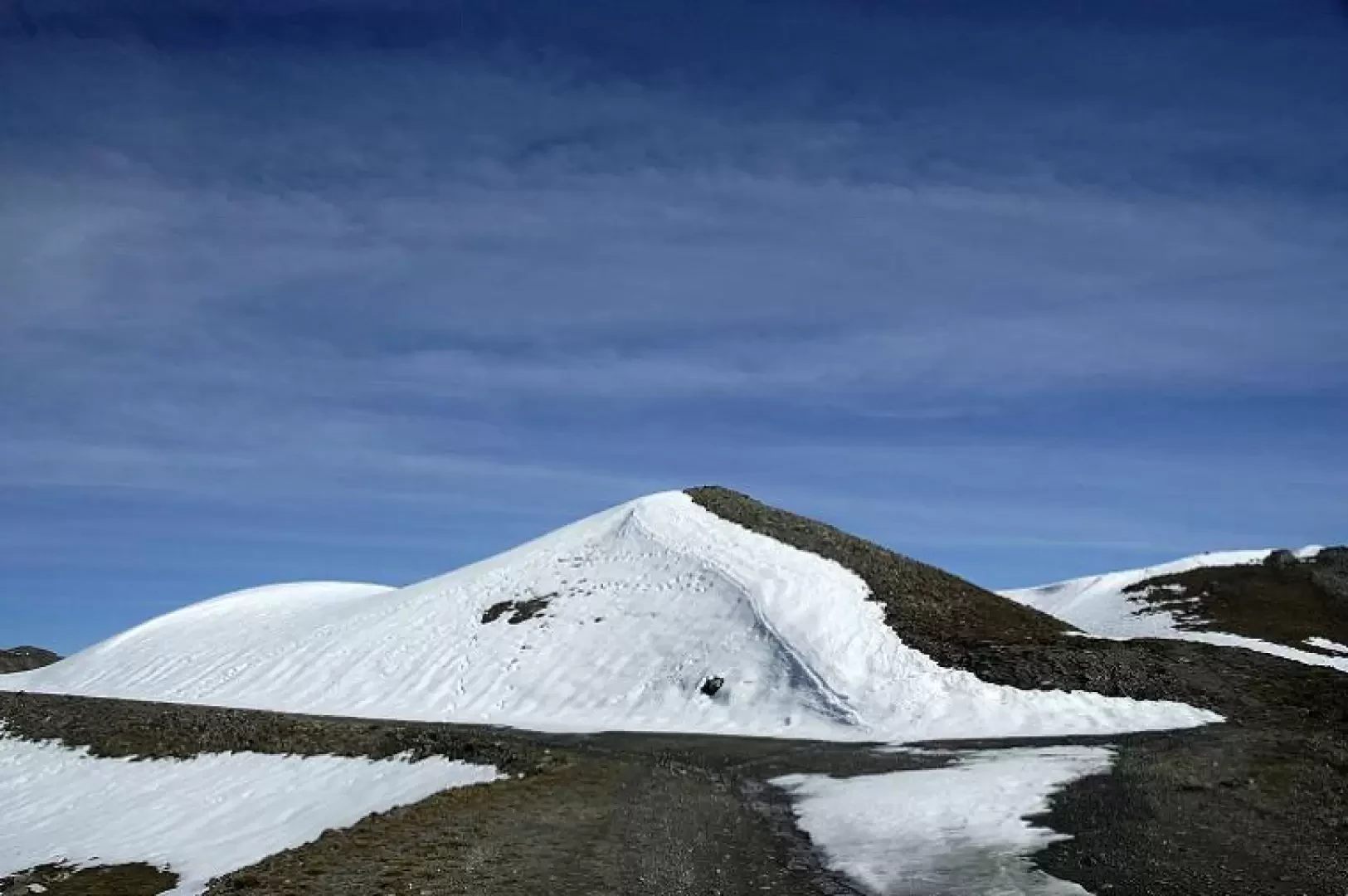
Route along the road Once in Balboutet (1557m), start climbing along the road that leads to the Pian dell'Alpe, from here turn left and follow the road all the way up to Colle dell'Assietta (2472m). Sentiero arrived at Balboutet (1557m) you meet on the left the path that goes up towards the Colle dell'Assietta passing through the Cerogne valley and meeting first the Grange Cerogne and then the Bergerie dell'Assietta (2300m). From here, continue until reaching the col (2472m).
Photo gallery
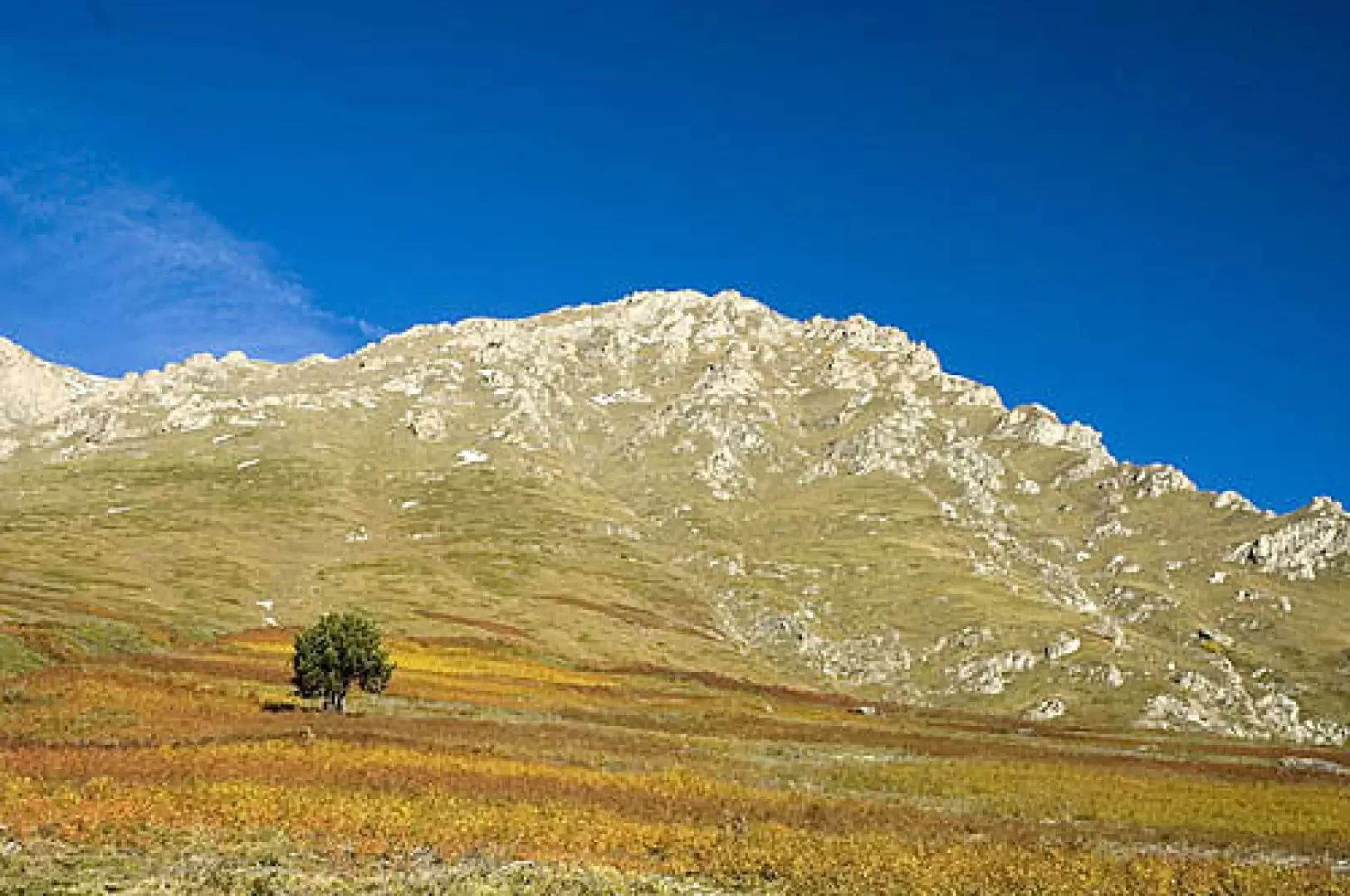
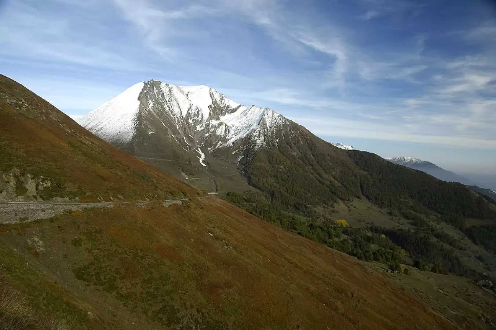
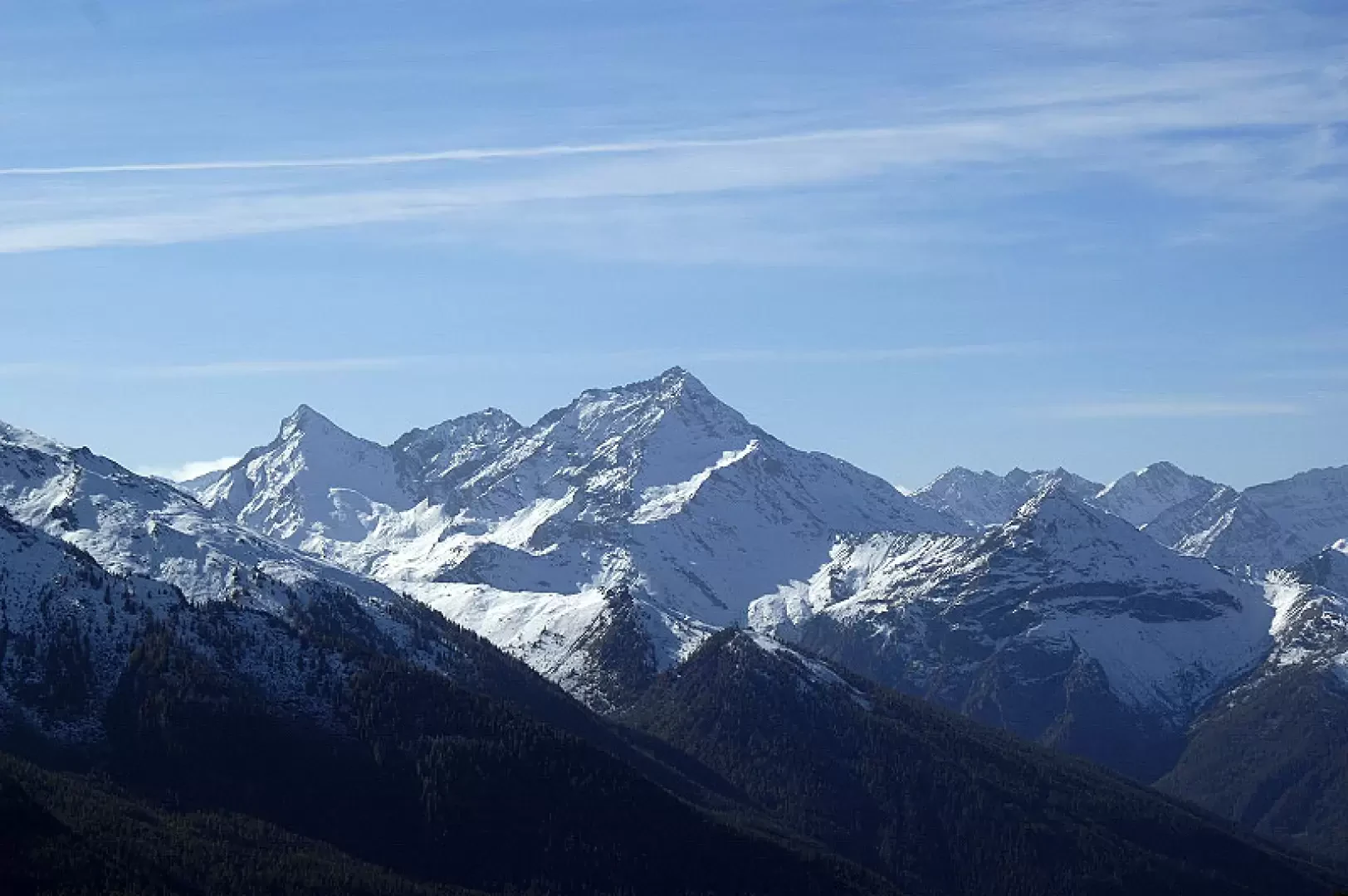
Comments (0)
Sign in to leave a comment