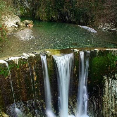
Breggia Gorge
Access
From Como, enter Switzerland via the city pass of Chiasso; continue in the direction of Mendrisio and Lugano until the Balerna roundabout. Here the tourist signs for the Gole appear. Past the car park of a shopping centre, you will find yourself in the forecourt of the visitor centre of the Breggia Gorge Park.
Introduction
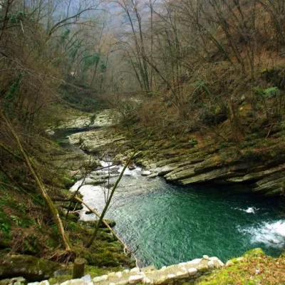
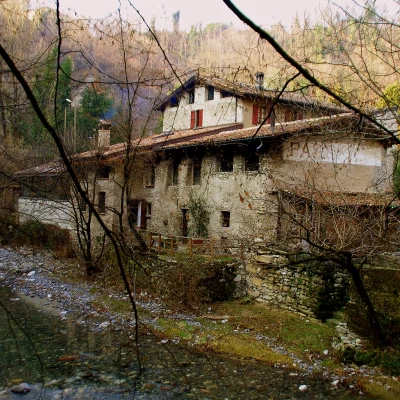
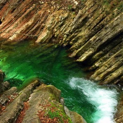
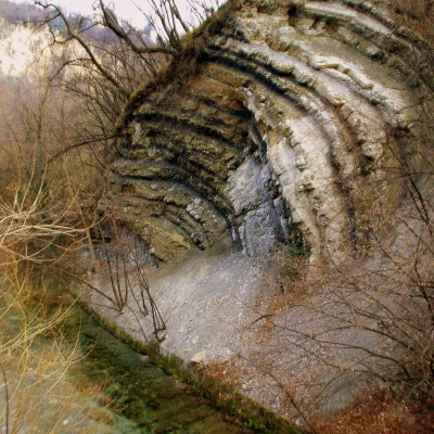
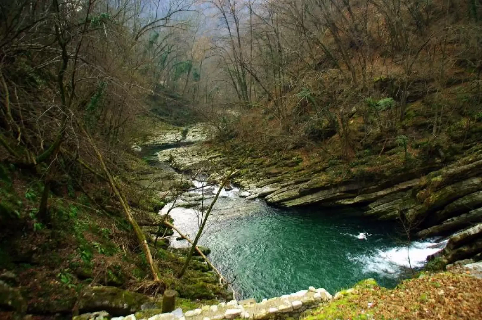
A very interesting excursion for the geological environment crossed and curious for the unusual location: a few dozen metres from a well-known shopping centre on the outskirts of Chiasso, and surrounded by numerous villages, a deep canyon opens up. The river that runs through it, after collecting water from the Muggio Valley, flows into Lake Como near Cernobbio, having formed the border between Italy and Switzerland for a long stretch. The entire area is protected by an open-access nature park, which is still in a delicate ecological condition due to the recent decommissioning of some craft and industrial activities (left as an ethnographic memory). Geologically, the interest is at its highest: the presence of flinty limestones, clayey ammonitic limestones and radiolarites alternates stratigraphically in an even conspicuous and scenic manner. The route is worthwhile all year round, but in the cold seasons, when the vegetation is bare, it becomes much more appreciable.
Description
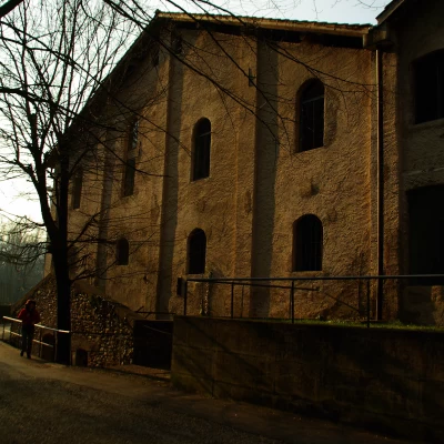
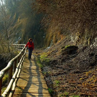
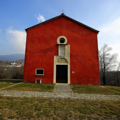
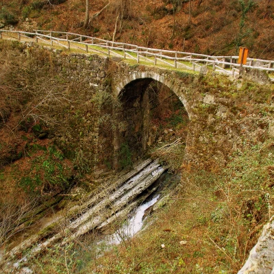
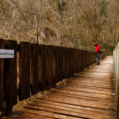
From the car park, flanking a bend of the Breggia river, you arrive at the Visitors' Centre (Mulino del Ghitello); from here, going up some terraces you reach the old constructions of a cement factory, a pasta factory and a brewery: near a bridge (Punt de la bira) a path branches off that ascends through coppice woods to a wetland area above the limestone quarry for cement. Following the signposts 'Sentiero del 700°', you walk through the wild and shady Val da la Magna until you come to the hillock of S.Pietro: ruins of an ancient castle (not much) and the beautiful Chiesa Rossa (beautiful frescoes in the nave). We continue by some vineyards, then descend along a cart track to the bottom of the canyon near Punt de Canaa: here the succession of stratifications through which the river flows is truly impressive (best observed from the nearby ruins of Mulin de Canaa). The path continues into the forest, allowing us to observe the variations in the colour of the limestone: from white it turns ochre-red; the gorge becomes very narrow (Buzun dal Diaul) and is bypassed by the rickety Punt dal Farugin. On the other bank, the path, in very narrow hairpin bends well protected by handrails, returns almost to water level, keeping parallel along some footbridges affixed to the (fossiliferous) rock face. From here, you reach the disused structure of the modern cement factory and along a tarmac road you join the outward route at Punt de la bira. From here, it is a short walk to the Ghitello Mill. Useful schematic maps illustrating the main path and the many possible variants are distributed at the Visitors' Centre.
