Borgio Path


Edited by:
Maurizio Loconti
Updated at: 03/11/2025
Access
You exit the motorway at Finale Ligure; the tollbooth is at altitude and, having reached the coast, the right direction is to the right. After 3 km, at a level crossing, you leave the main road to enter the village. The car parks are either pay or time-limited. For the totally free ones, one must head towards the Valdemino caves. Several parking spaces are available at the municipal playground and you can leave your car there.
Introduction
There are several routes up from the sea. The municipality has devised its own network of trails that joins the Cai and Fie. This leads to some confusion over the different symbologies and This leads to some confusion about the different symbologies and forces one to delve deeper... to get to the bottom of it (which is not not to be taken for granted)!
Description
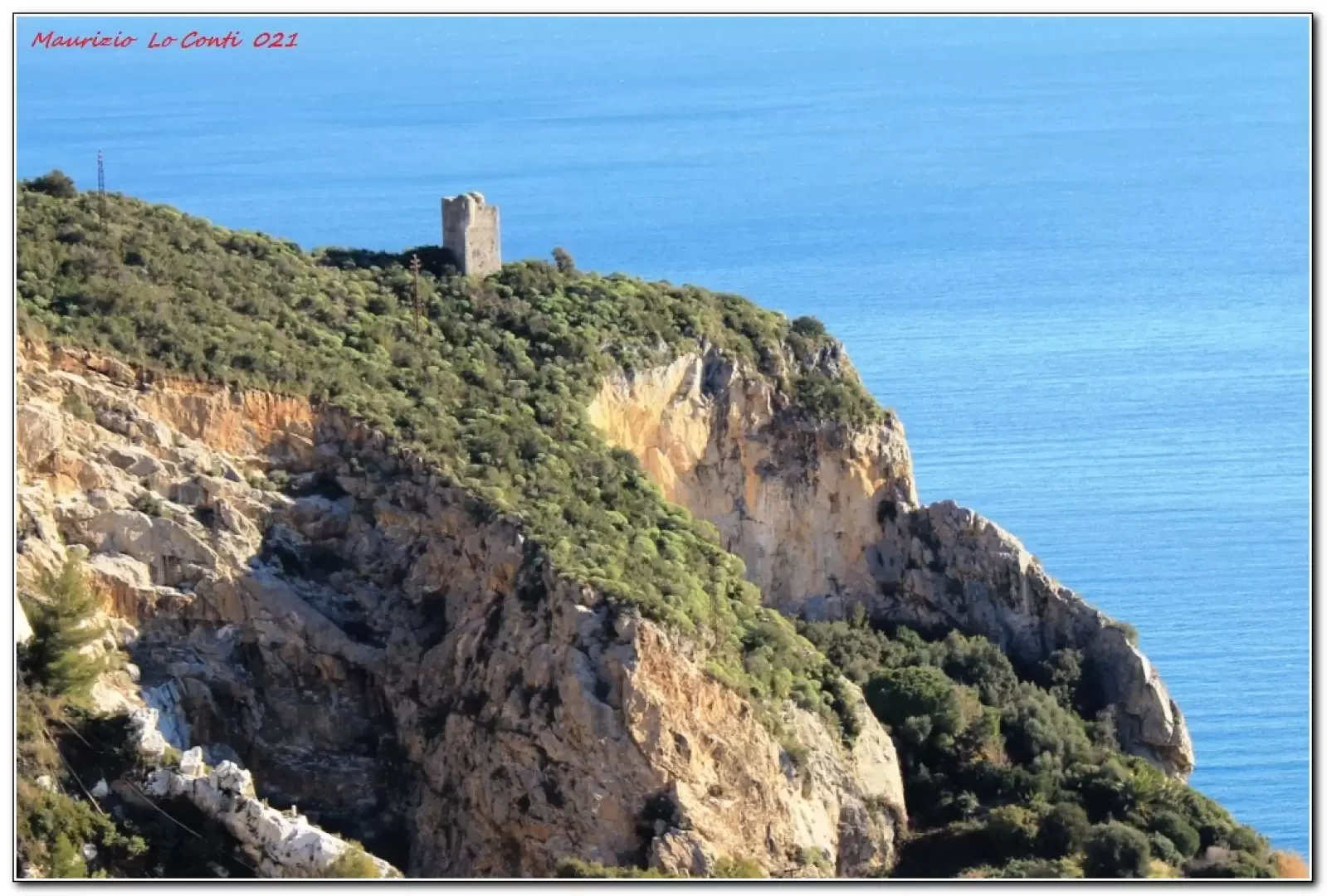
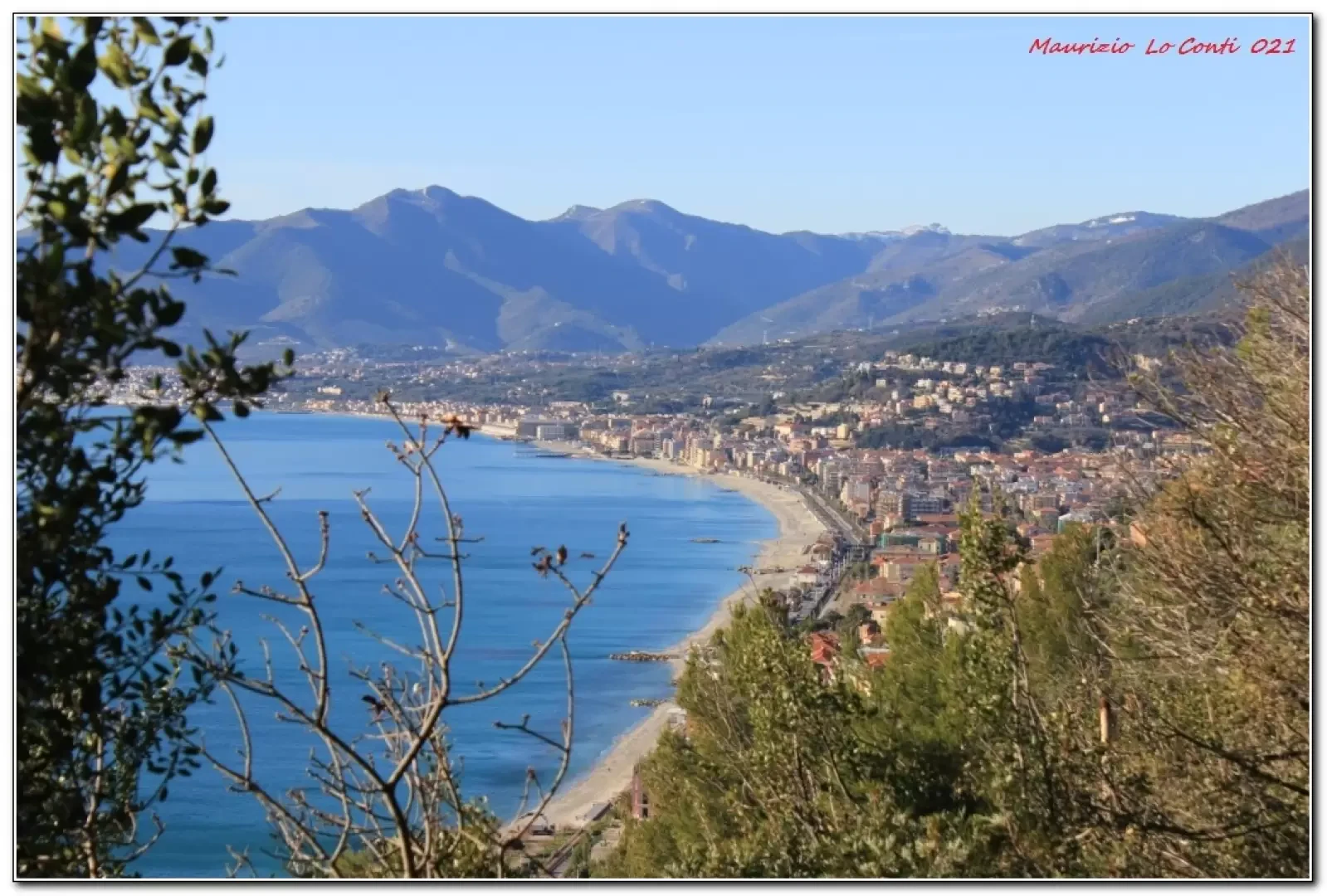
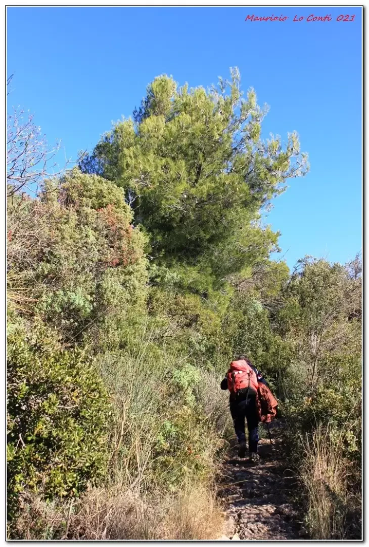
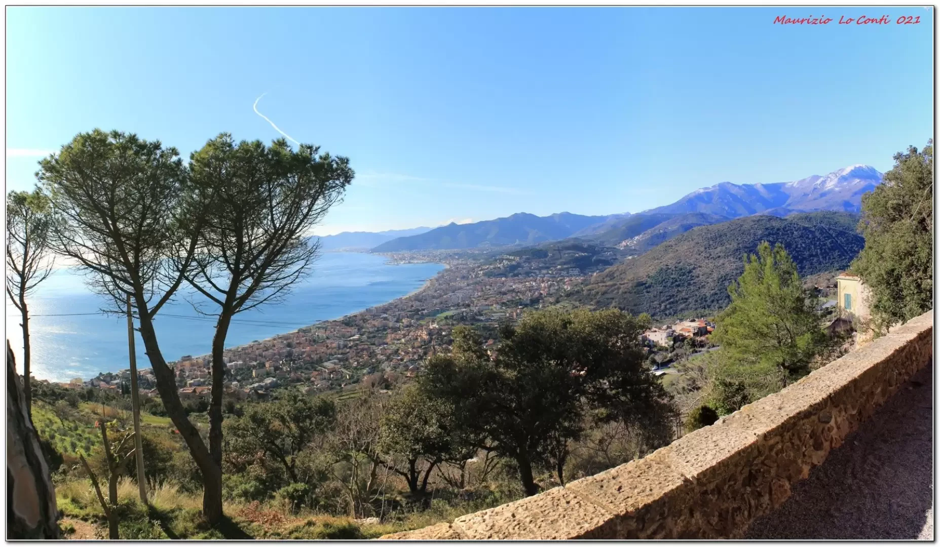
From the car park we walk back towards the sea. Today's route starts from Via Sauro and follows Via alla Cornice. You climb up to a fork where you have to go left through the Mediterranean scrub. In a few minutes, there is a fork where you keep to the right. You pass an old picnic area and continue through the ilex grove. There is another fork where you take a left to the Sanctuary of Maria Regina Mundi (285m) and the church of San Martino. The panorama is unique! We enter between two buildings in a northerly direction. Nearby there would be a Phoenician mill, but the indications are faint and cannot be seen! Instead, a stone cross can be seen! Having ignored a few branches (one would lead to a dolmen, but without any specifics as to when to go there), one proceeds on the path leading to the Bastia Tower. A dirt road with some Fie symbols is found, which we follow. After a sharp bend downhill, you come to a small clearing, which is now fenced off and does not allow you to climb to the top. In order to reach the Bastia Tower, it is necessary to find a faint track that branches off to the left when the fence ends. With a bit of intuition, you arrive at the ruins, covered by vegetation (320m). Go down the opposite side, finding the road again, which now makes a wide bend to the left. As we lose altitude, we find the asphalt road. Here, turn right for a few metres to a fork in the road to the left. Now you lose altitude, ignoring two inviting little roads on the right (no signposts to help!). At first there are some well-maintained dry stone walls, but later the descent becomes a little bumpy. We join the road that goes up to the hamlet of Roccaro (35'). Obviously, you still descend until you find the asphalt road, which leads down to the car.
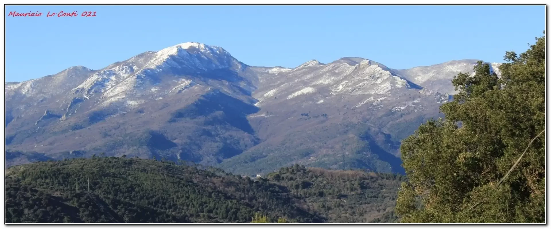
All in all: diff. E - 350 m difference in altitude - almost 8 km - about 3h15 total in addition to the various stops - clear weather not cool on the coast colder in the interior. Convenience: sufficient, poor on the descent to Borgio. Best period: from autumn to spring, avoiding the worst days. Tour interest: Medium +
If you wish, here is the photo pdf file, with a little more information:
http://www.cralgalliera.altervista.org/BorgioVerezzi021.pdf
http://www.cralgalliera.altervista.org/altre2021.htm
http://www.cralgalliera.altervista.org/anno2020.htm
http://www.cralgalliera.altervista.org/altre2020.htm
NB: in case of a tour, always check with FIE, Cai, the park authority or other institutions, pro loco, etc., that there have been no changes to the route, that there have been no changes that have increased the difficulties! No liability is accepted. The present text is purely indicative and not exhaustive.
Info Hiking Section Cral Galliera: http://www.cralgalliera.altervista.org/esc.htm
Trips 2020/21 at link: http://www.cralgalliera.altvista.org/gite020.pdf
General information
Signposts: CAI and FIE
Type of route:circular
Recommended period: January, February, March, April, October, November, December
Exposure to sunlight:south
Photo gallery
Comments (0)
Sign in to leave a comment