Emerald Lake


Edited by:
Ivano Ruffoni
Updated at: 21/05/2026
Access
Leaving Denver, travel to Boulder on US-36 and continue to Estes Park. Continue on US-36 in the direction of Rocky Mountain National Park to the Beaver Meadows Entrance Station (entrance fee required). At the Bear Lake road intersection, leave US-36 and turn left. Follow the Bear Lake road all the way (approximately 14.6 km / 9.1 mi) to the Bear Lake Trailhead parking area.
PS: The parking area is very large, but if there are no parking spaces available (very common in the summer) you can turn around and park at the Glacier Basin area, returning to the Bear Lake Trailhead area with the convenient shuttle bus.
.Introduction
The proposed itinerary is probably the most popular and busiest in Rocky Mountain National Park (especially in summer it is recommended, for traffic and parking reasons, to arrive at the starting point by shuttle bus - free shuttle bus -). It starts near Bear Lake, ascends to Nymph Lake, nestled in the pine forests, then to the enchanting Dream Lake and then to Emerald Lake, at the top of Tyndall Gorge. The hike, due to its shortness, its moderate gradient and the ease of the route (at least in summer), is also suitable for families with children. PS: do not trample on the protected areas at the edge of the lakes (signs in place).
Description
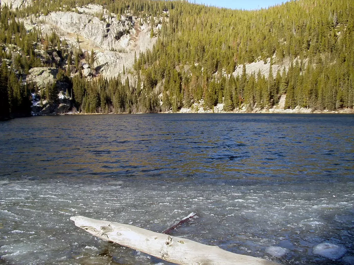
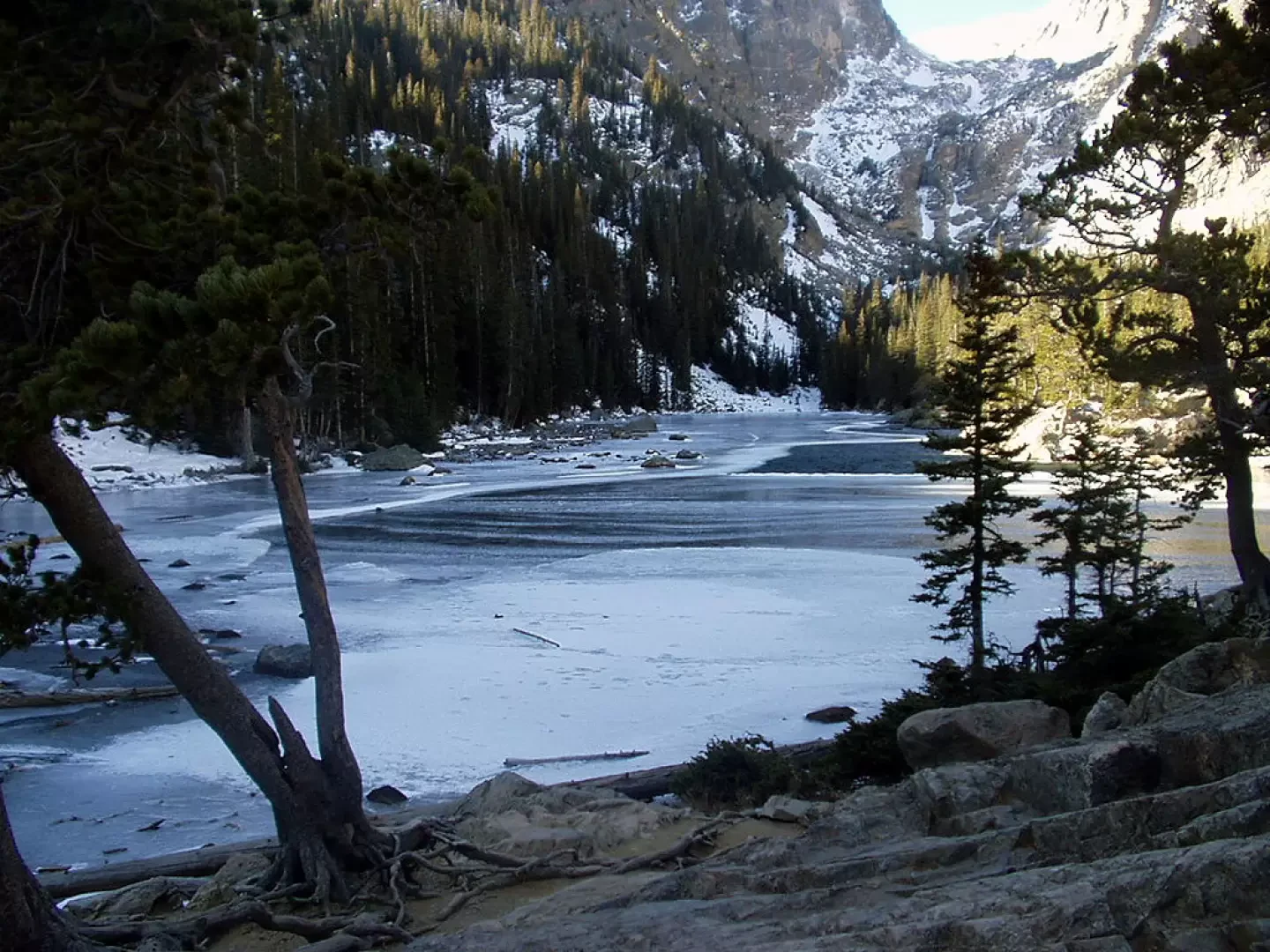
0h00' Between the Ranger Station on the left (2888m) and the shuttle arrival station on the right is a wide, well-maintained mule track. After a few steps, turn right and you will soon reach the shores of Bear Lake. Back at the crossroads, turn right in the direction of Nymph, Dream, Emerald, Haiyaha and Alberta Falls lakes. A modest climb among the conifers leads to Glacier Gorge Junction and Alberta Falls and the first of the three alpine lakes on this hike, Nymph Lake, nestled in a pine forest. It is worth stopping for a while to observe Hallet Peak and Longs Peak among the branches.
0h20' The trail goes around the lake to the north, climbs up through the pine forest with a few steps and reaches a scenic knoll. Continue on an easy path past large rocks, cross a stream on a wooden footbridge and reach the junction for Lake Haiyaha.
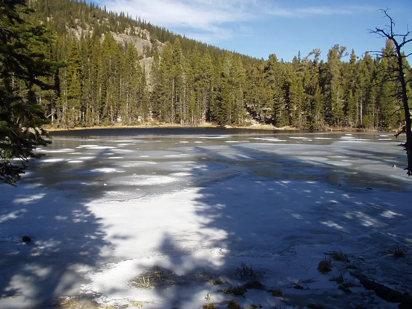
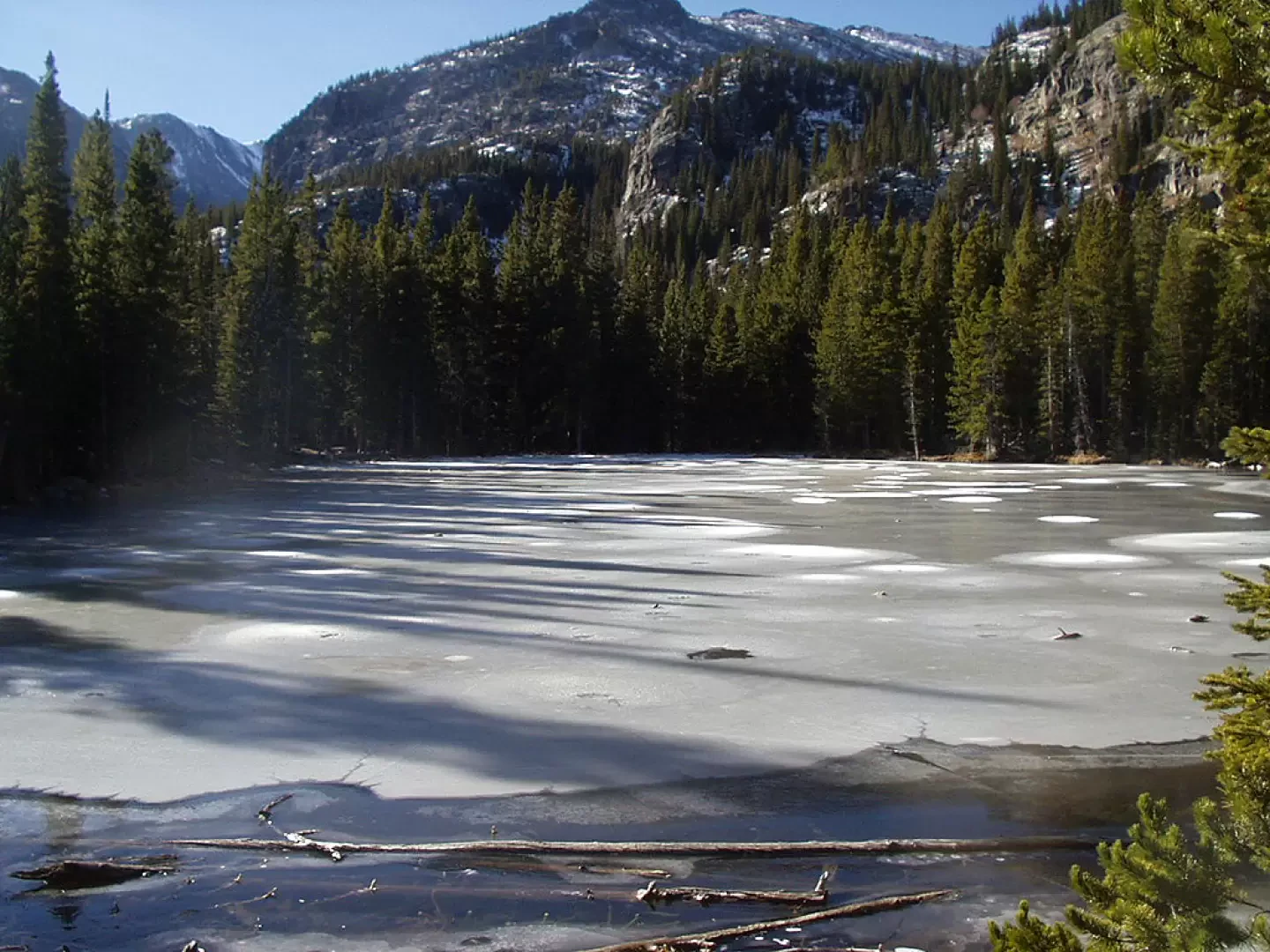
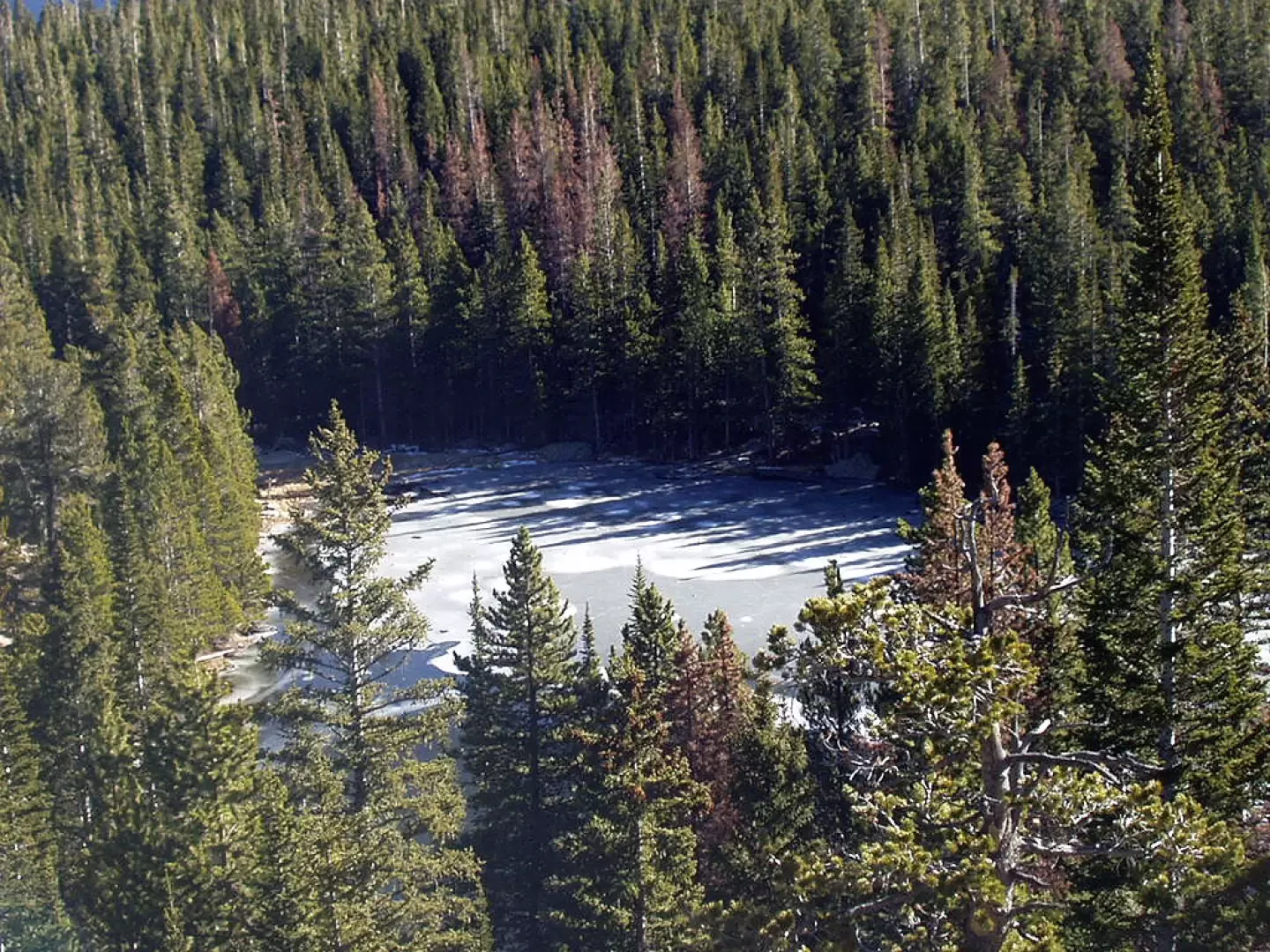
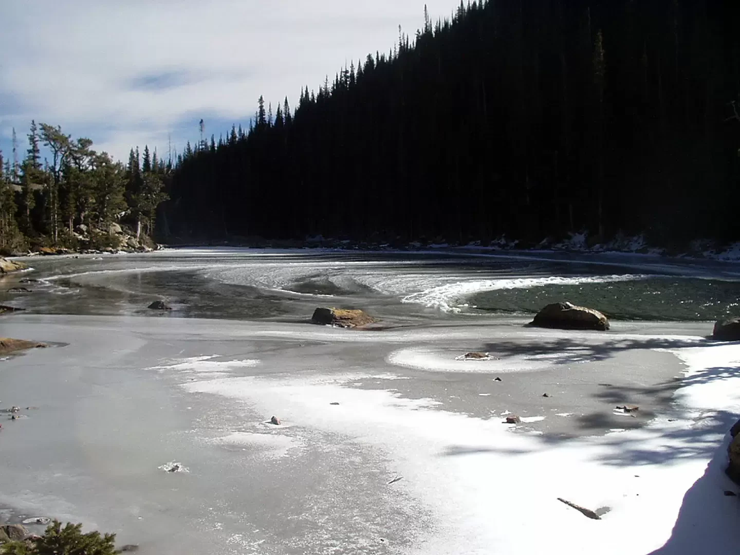
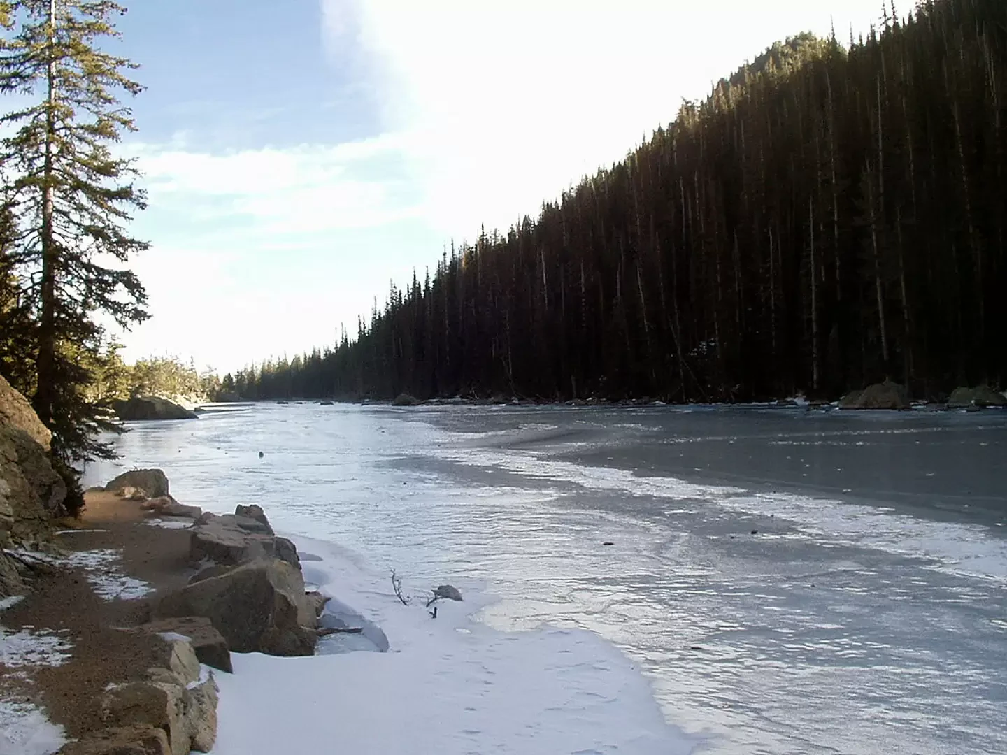
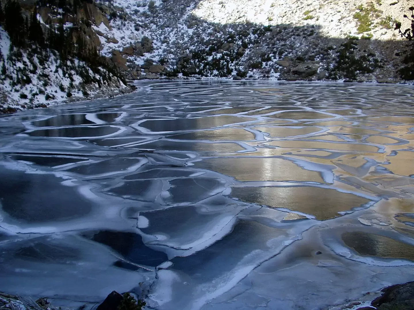
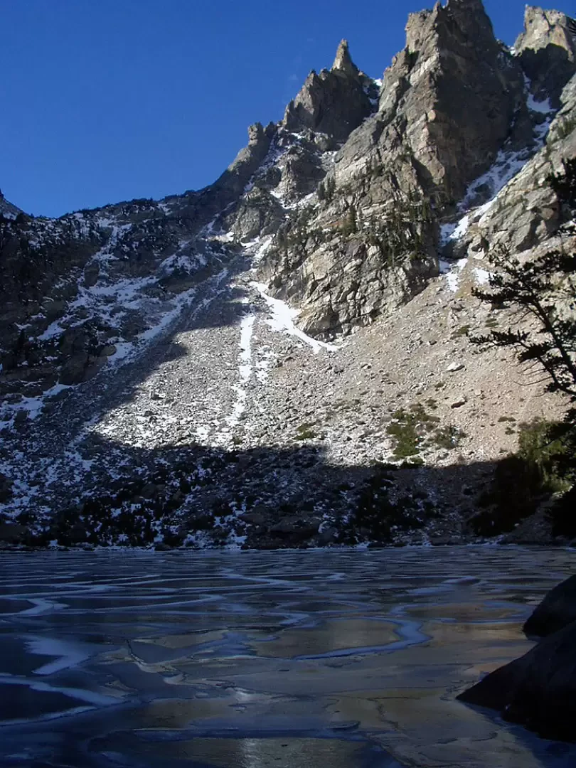
0h35' Keeping to the right after about 150 metres, past another footbridge over a stream, you are at the spectacular Dream Lake. From its shores, enjoy the panorama formed by Hallet Peak and Flattop Mountain in the background. The trail skirts the north side of the lake for 500/600 metres (the wooden walkway is characteristic). At the western end of the lake, the mule track climbs a few steps, skirts Tyndal Creek and leads to the bowl carved by Tyndal Glacier where Emerald Lake (3072m, 1h00') lies, between the flanks of Hallet Peak and Flattop Mountain.
The return is along the same route as the outward journey 0h35'.
.General Information
Signposting:
Type of route: a/r
Recommended period: July, August, September, October
Exposure to the sun: west, south
Objective danger:none
Exposed sections:none
Useful equipment:normal daily hiking gear
Photo gallery
Comments (0)
Sign in to leave a comment