Crossing the Spina Verde Park, from Drezzo to San Fermo

Introduction
Along the border with Switzerland, an easy walk in an area of many interests, archaeological with the Golasecca civilisation, the Cadorna line, smuggling and, to finish, chestnuts.
Description
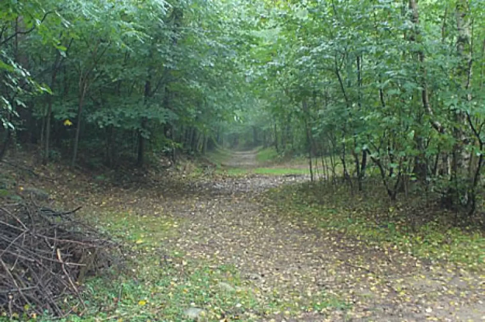
From the parish church of Drezzo, go uphill following the signs for the boundary path in the direction of the Church of the Madonna della Assunta. A small diversions, recommended, along the via crucis allows you to visit the church at least from the outside and to enjoy the beautiful view of Canton Ticino. Back on the asphalted road, continue straight ahead along via Ronco, slightly uphill. We skirt a house following the life trail markers and signs. It is worth noting the wealth of tree species we encounter, horse chestnuts, rowan trees, maples, birches, cherry trees and, of course, chestnut trees. At the end of the asphalt road, opposite the gate of a villa, we turn right onto a cart track. We thus enter dense woodland, at first of chestnut trees, alternating later, near Poggio Bruciato, with Scots pines. At the next fork, turn left and soon reach a crossroads with a sign for Monte Olimpino. We then proceed to the left, still in the woods, arriving at a further fork where we must go left in the direction of the net that marks the boundary of Poggio Bruciato and its pine forest. Follow the net and the subsequent fence that marks the Italian-Swiss border, indicating the southernmost point of Switzerland. At the end of the fence, continue straight on, signposted for the Chiesa dei Pittori (Painters' Church), here is the most difficult section of the entire trail to identify. You ascend slightly to reach a hump where you turn left and immediately afterwards right onto a track that is clearly visible although less marked than the one that continues straight ahead. Descend in the direction of Colombirolino, arriving at a dirt road. Follow it slightly uphill to the left until reaching a building right on the border. When you reach the building, leave the road to take the track, behind the dwelling, that runs along the border fence. Continue downhill, ignoring the path going to the right, and at the next fork, climb straight up, ignoring the better tracks to the right (Italy) and left (Switzerland). You will soon arrive at a boundary stone. Follow the faint track (note the much more obvious Swiss path to the left!), skirting a private fence on the right and meeting other border stones. You then rejoin the border fence coming out, after a short, steep descent, onto a dirt road. Turn right even though there is a sign indicating Sasso Cavallasca on the left. One crosses a meadow, with houses and a vegetable garden, taking, at the end of this, a left onto a path with markers. Follow it uphill to a small building where you make a U-turn to go left. You now proceed straight ahead on the path, here the remains of the Cadorna Line begin to be visible, you cross a road where there are some signs and still straight ahead you come to a fork with a dead tree trunk in the middle. Here we turn left slightly uphill and soon come to a signpost that to the right sends us on a steep climb towards Sasso Cavallasca. At the end of the climb, you come out onto a beautiful belvedere over the entire first part of Lake Como. You now descend to the left and at the fork below, if you go straight on you reach the altar above San Fermo, if you go left you descend directly to the village. The descent is indicated with yellow marks, but be careful to leave them to the left at a fork near a fence, then turn right and you come to a meadow with houses, pylons and a splendid pomegranate tree where the road is asphalted for a stretch, then becomes a dirt road again and finally becomes asphalted further down. From here you soon reach the main road and then San Fermo, where all that remains is to take the bus back to Drezzo.