Pizzallo Cross, from the Campoè Sanctuary


Edited by:
Marco Bonati
Updated at: 17/11/2025
Access
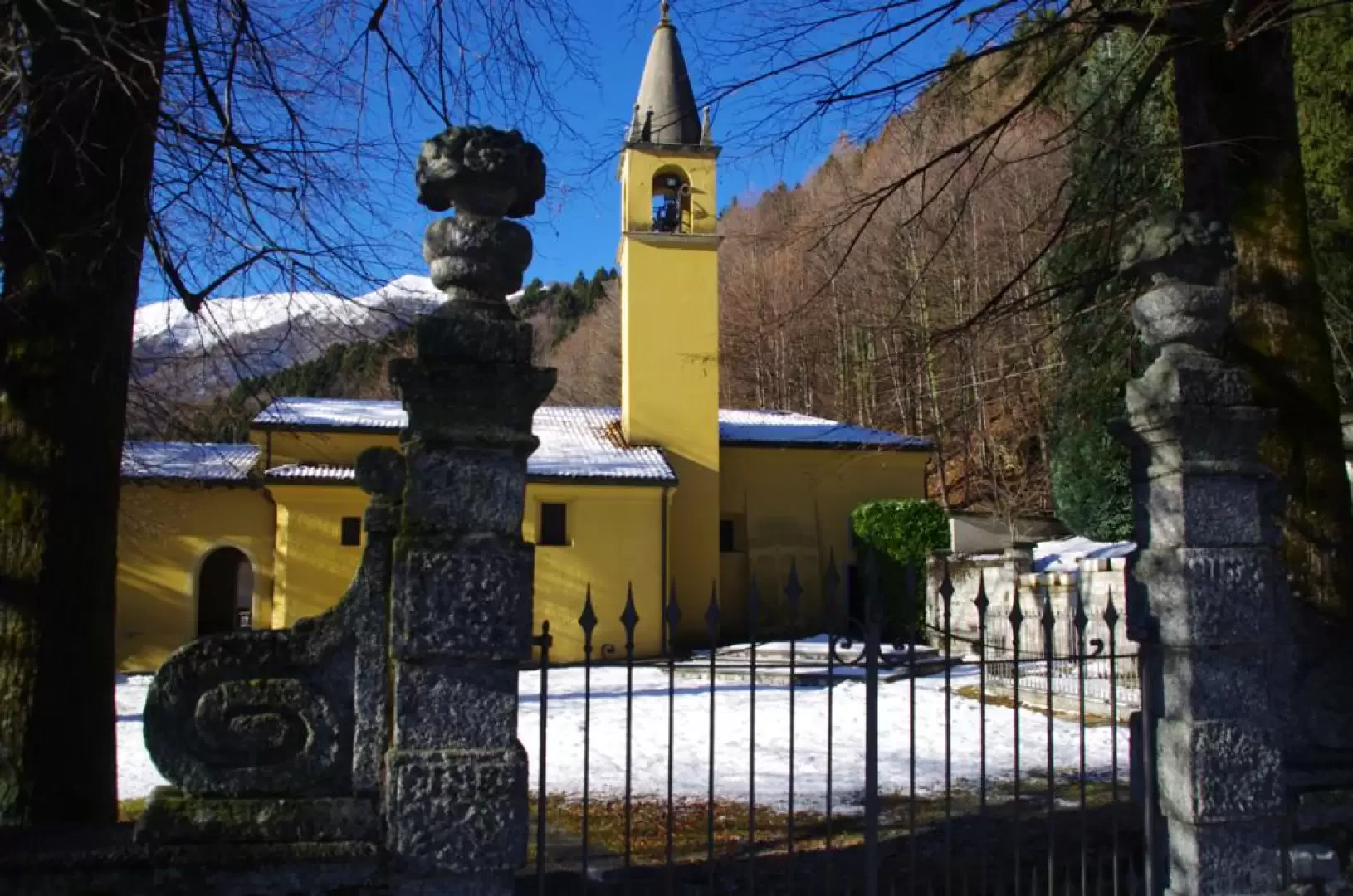
From Erba you reach Canzo and pass Asso to turn left in the direction of Caglio. In the small village follow the signs for the Campoè Sanctuary. There is ample parking space.
Introduction
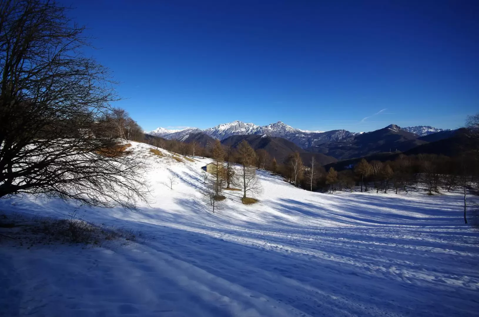
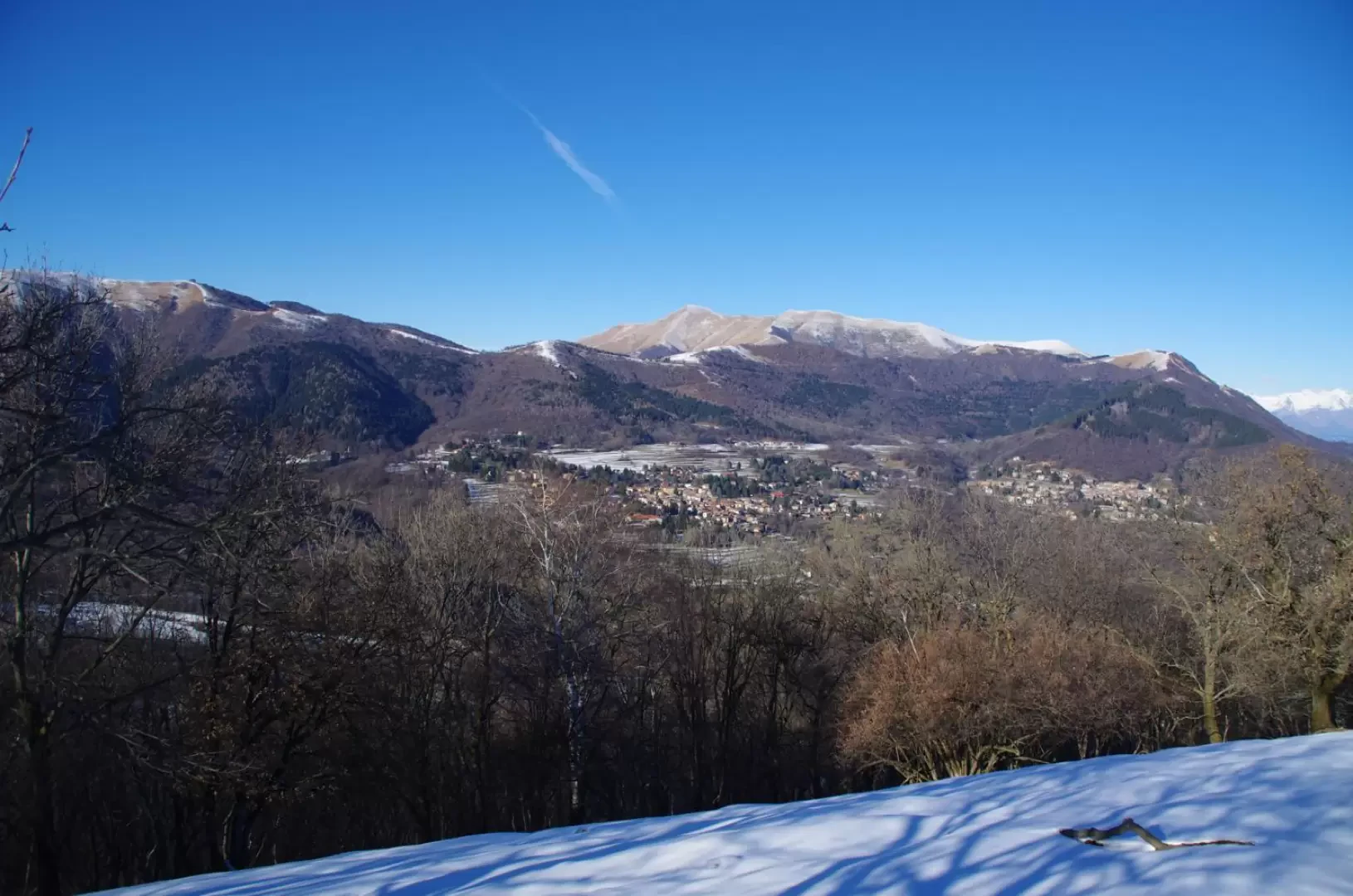
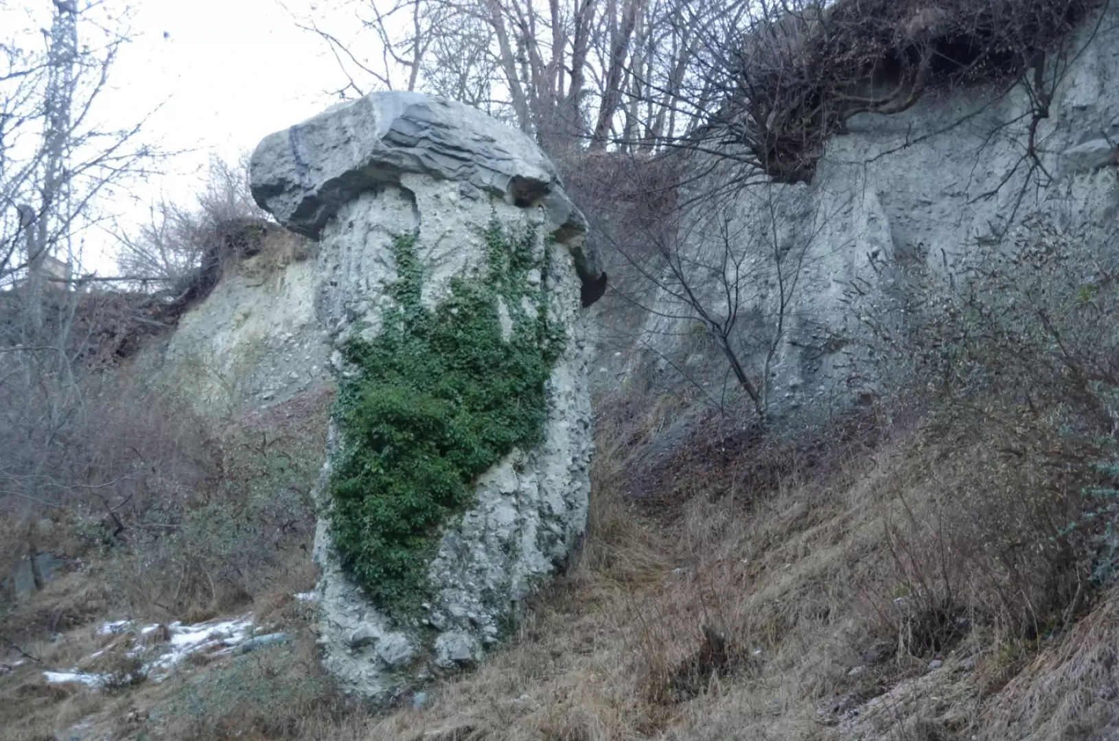
Interesting excursion to the peripheral heights of the Larian Triangle, which allows us to visit evocative isolated and panoramic clearings, gradually leading down into the Rezzago Valley. Here, along a neglected geological path, we encounter some fragile earth mushrooms, a remnant curiosity of an ancient glacial moraine.
Description
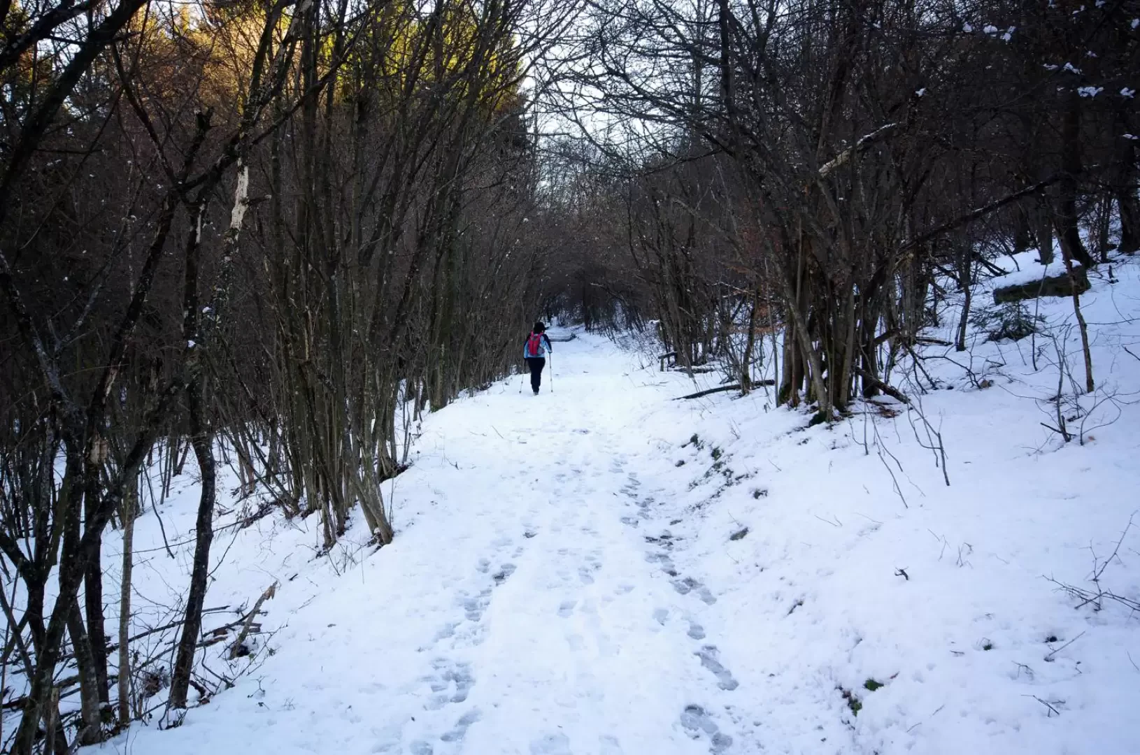
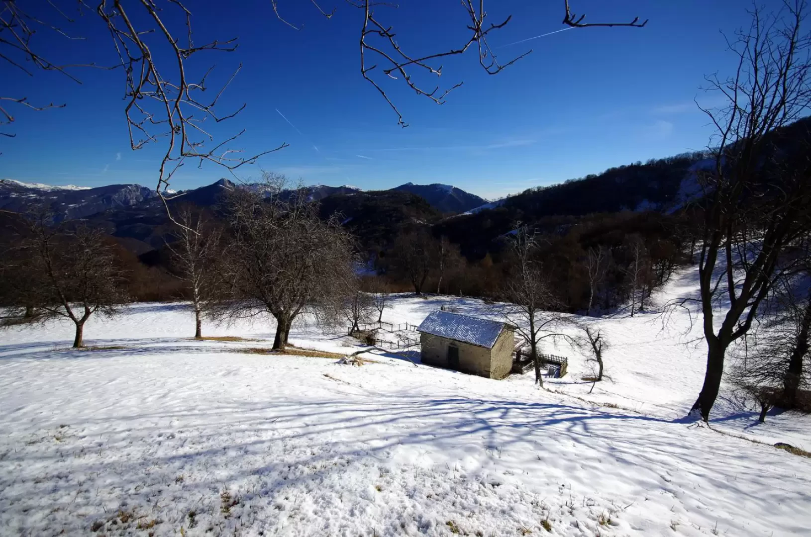
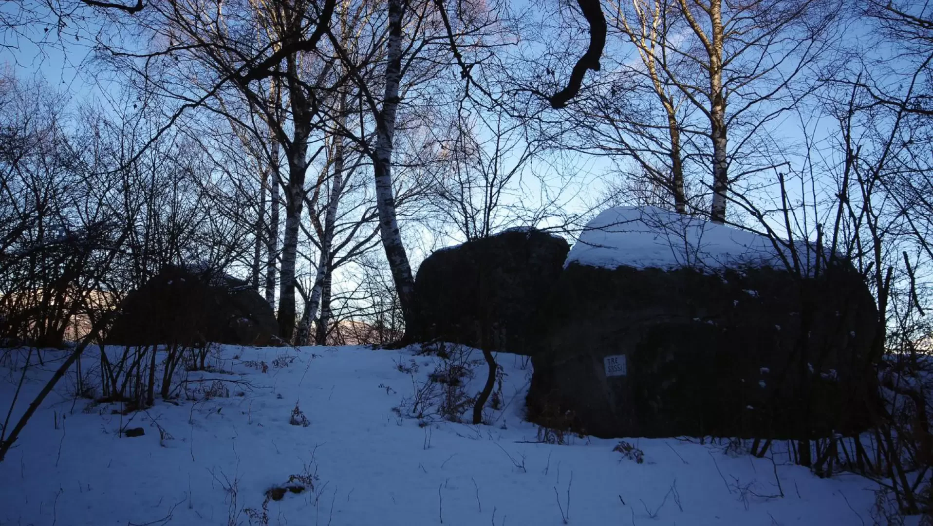
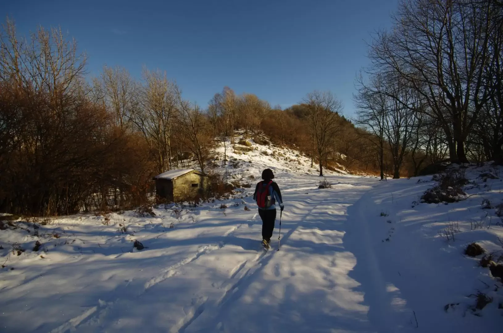
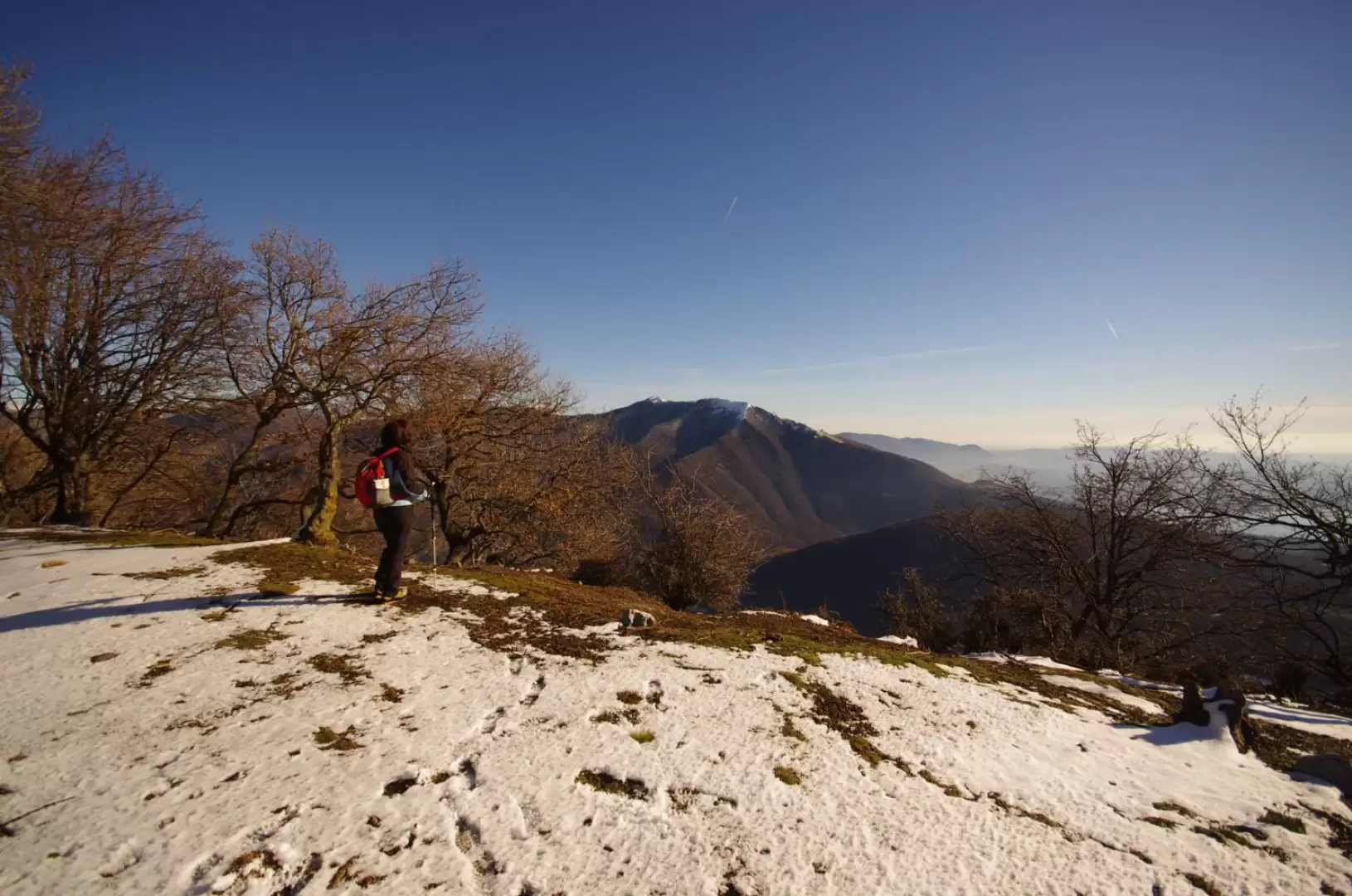
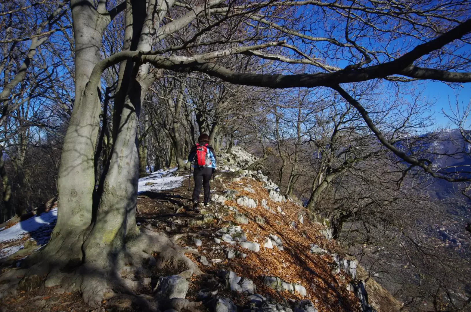
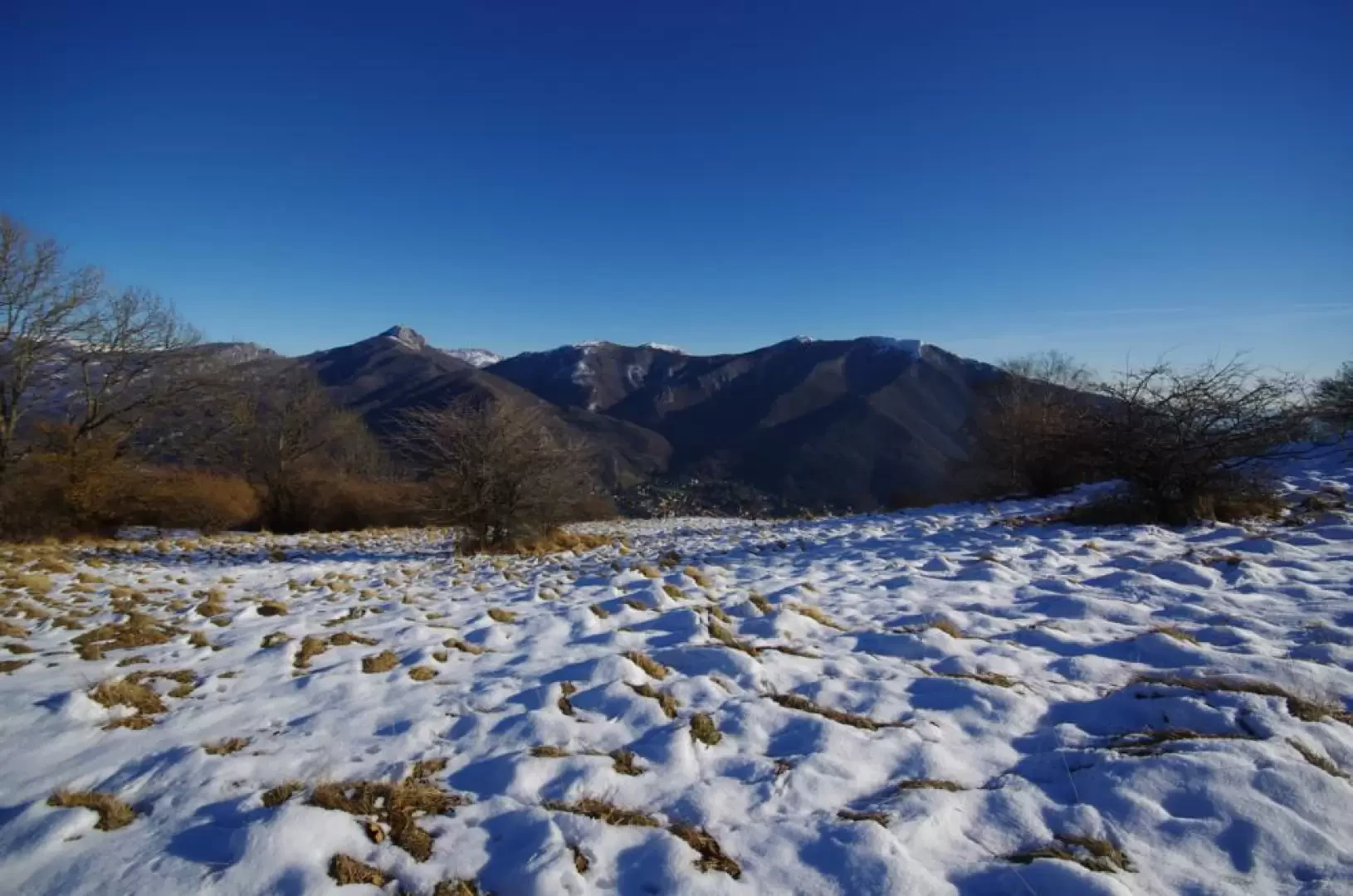
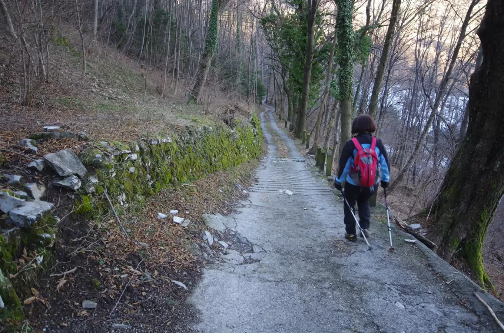
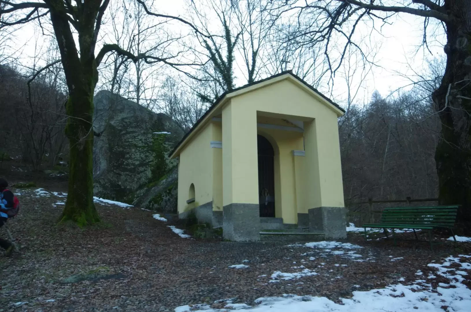
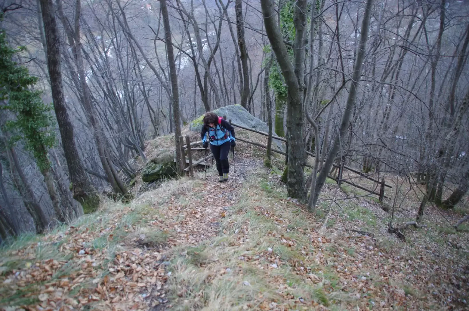
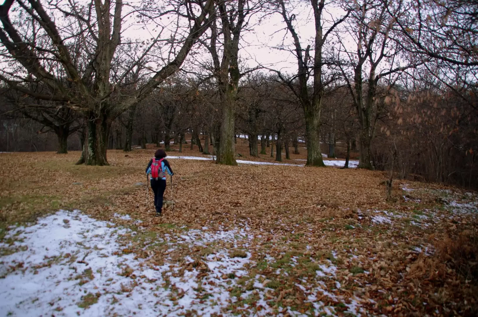
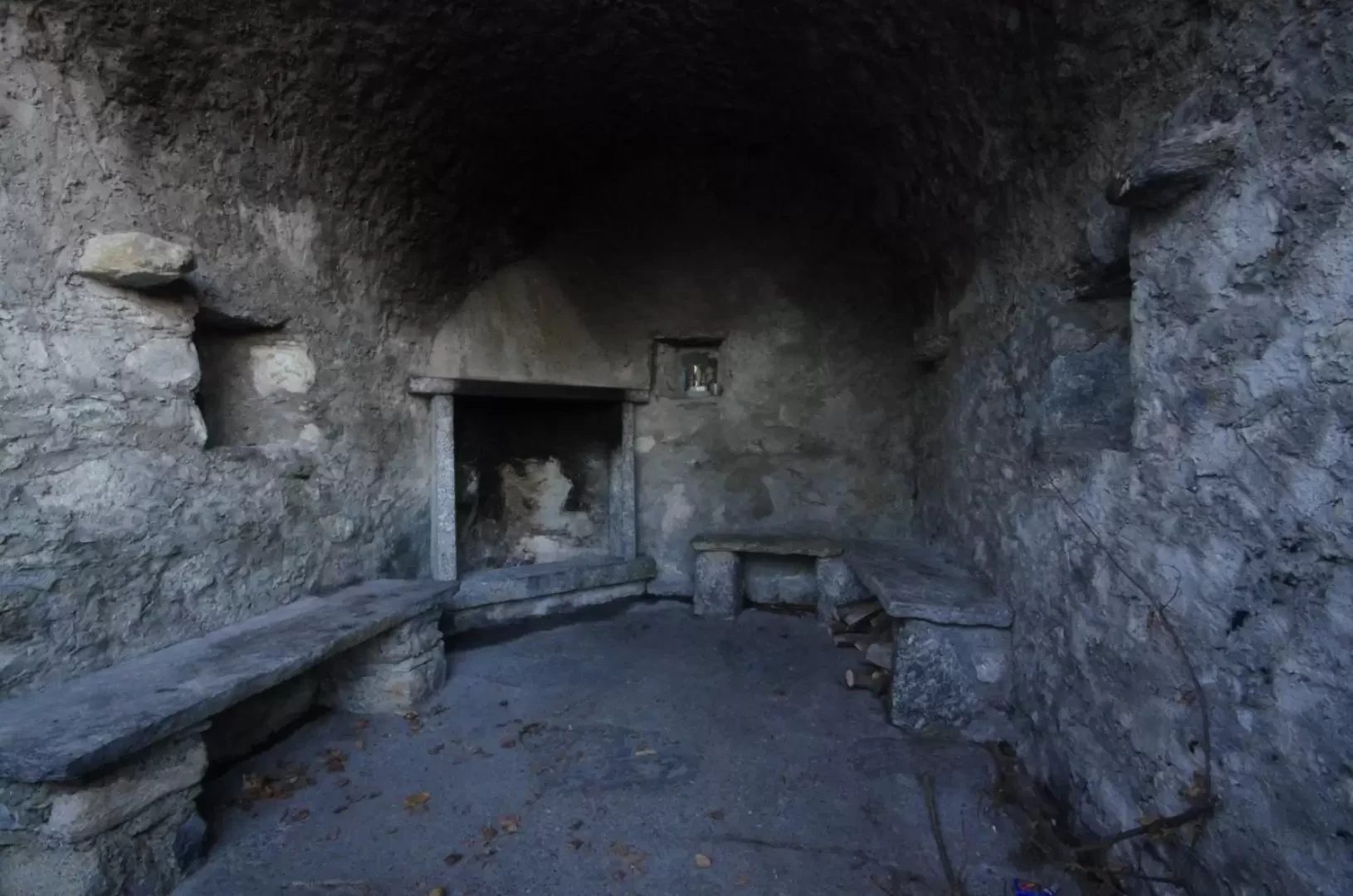
From the Sanctuary of the Madonna di Campoè 839m, continue along the tarmac road past the Fornace locality (at present, a few holiday cottages) and a sad 'Fauna Oasis' (actually a muddy aviary with a few exotic fasianids and an enclosure with donkeys and sheep). After a ford, the path becomes a dirt track and with gentle ups and downs you follow it until it trifurcates. It is indifferent to continue on the central or the right-hand track, which converge after a few hundred metres. Leave the mule track to Monte Palanzone to the right and descend to the left on the cobbled cart track that heads towards an agritourism in Enco. At a new crossroads - signs in paint - go back up the right-hand track: here the route often has wooden sleepers for draining water; near a large watering place, leave the right-hand track that leads to the Alpe del Ginestrino 892 m (clearing with a hut visible beyond the thicket) and start climbing up a birch wood with a few hairpin bends. A panoramic hump is reached, passing by some fences, between a small brick house and a wooden hut. Go around the wide basin - Buco della Ginestra - along a grassy path and, after passing a stretch among ferns and hazels, you reach a dirt track; turn left downhill following the directions "Asso - Rezzago", avoiding side deviations, to reach the clearing of the locality Tre Sassi 910m with a fountain and picnic area. Continue steeply downhill until you reach another clearing near a small hut: here, turn right for a very short distance and then immediately left, up the wide wooded ridge (signs in paint on the trees); in a short time, you will reach an easy rocky crest that - after passing a panoramic peak - ends at the Croce di Pizzallo 974m. Wide views of the Lariano Triangle mountains and the entire Brianza plain. We continue on an easy descent on the other side, aiming for the unsightly RAI repeaters in Piazza Dorella; the track passes between the fences of the first two structures and starts a very steep descent into dense woodland. Gradually the slope decreases and the path, after flanking a terracing with a dry-stone wall, leads to the buildings of the Fiorana farmstead 697m; continue down the valley along the cemented access track to the rural nucleus. When you reach a hairpin bend at the bottom of the valley - signposted - take a left onto the mule track of the Rezzago valley: a very stony track alongside the meadows of Cà Vall'Alta leads to a fork in the road; taking a right, past a marshy area, you begin the descent to the iron bridge over the Rezzago stream. Do not cross it and, climbing to the left, you soon come to the Cappella della Valle dei Morti 601m (probably the former site of a lazaret for plague victims). A little further on, you reach the protected area of the "Funghi di Rezzago" (Rezzago Mushrooms): after a visit from below along the path to the left, climb steeply to the right along the protective handrails to the "Belvedere" balcony. The entire area - although protected - is very poorly maintained and a good view of the geological phenomena can only be had in winter, in the absence of vegetation. From the knoll you enter the lower part of the wonderful chestnut grove of Enco: a grassy track leads near the Braga 776m chapel (shelter for wayfarers with hearth and small altar), where the signs for Caglio direct you, among the monumental trees, to the forest track for the farmhouse (near the highlighted trifurcation) on the route of the outward journey: from here to the initial parking area.
Photo gallery

Comments (0)
Sign in to leave a comment