Cesnola


Edited by:
Maria Grazia Schiapparelli
Updated at: 19/07/2026
Access
Exit the A5 motorway at Quincinetto, turn right, and after a few hundred metres pay attention to the sign for Cesnola, on the left; turn into the small road and continue into the village until you reach a small car park on the right, where you can leave your car.
Introduction
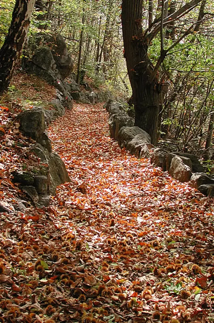
Beautiful route to take in the seasons when you want to walk, but there is still snow up high; from Cesnola a splendid medieval mule track starts, climbing among the vineyards and chestnut trees, passing behind the castle of the Palma di Cesnola, now in ruins, and passing by villages that tell of the labours of a time not so long ago.
Description
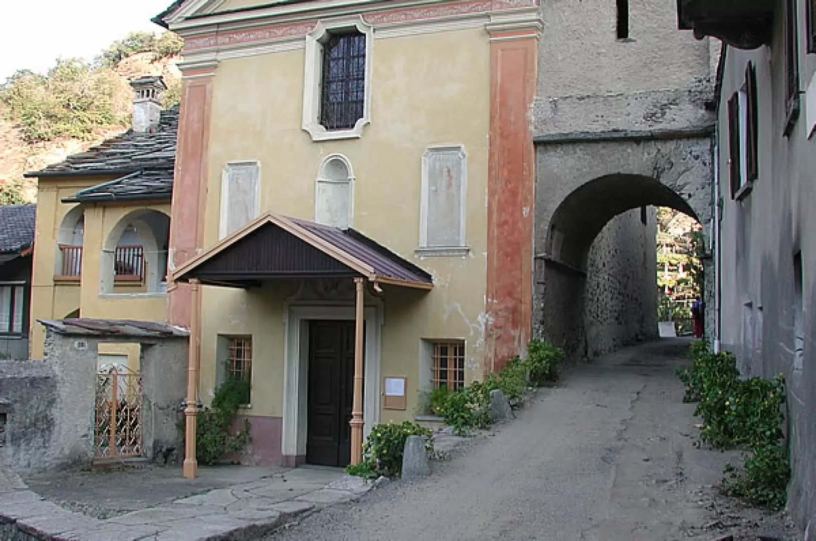
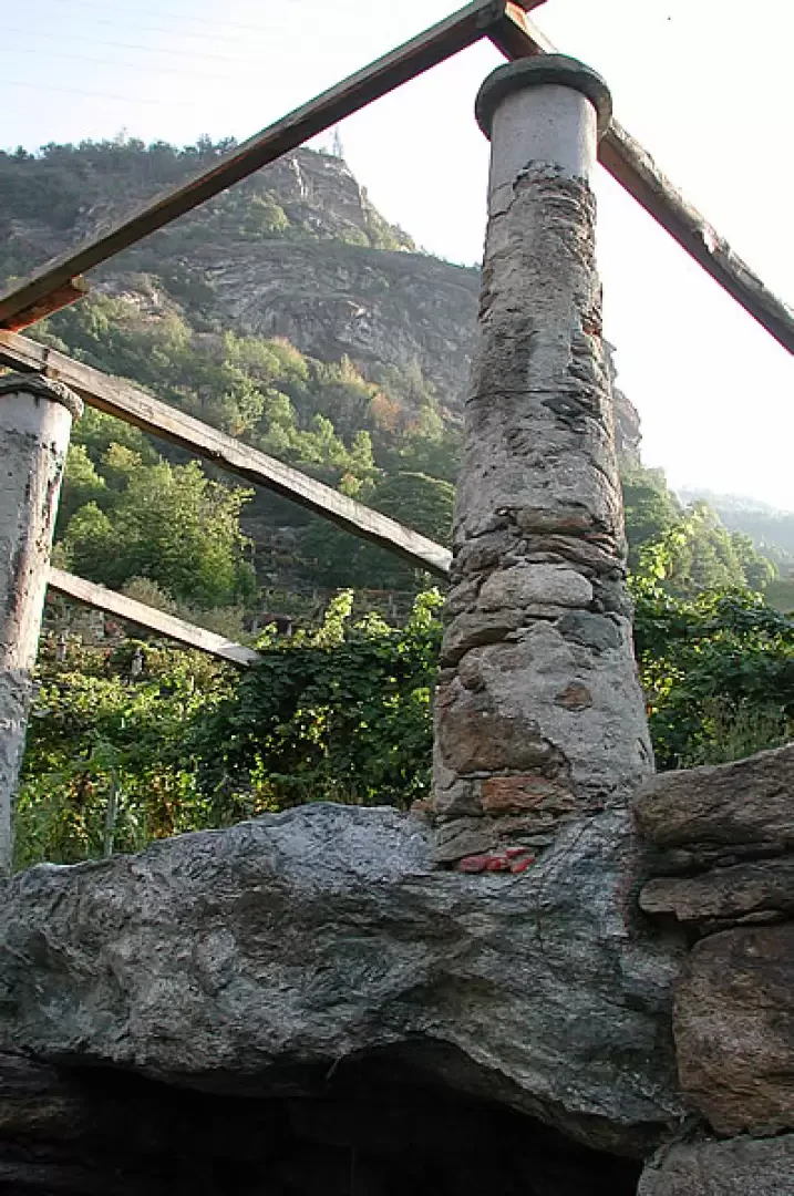
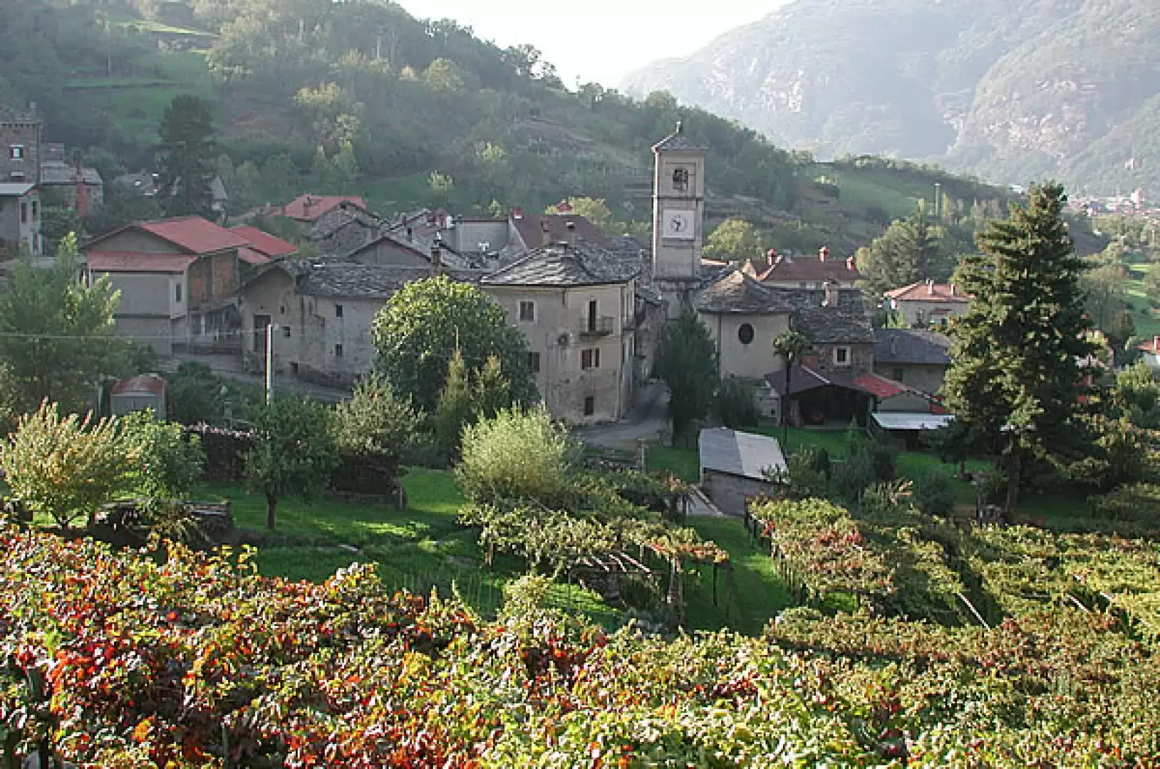
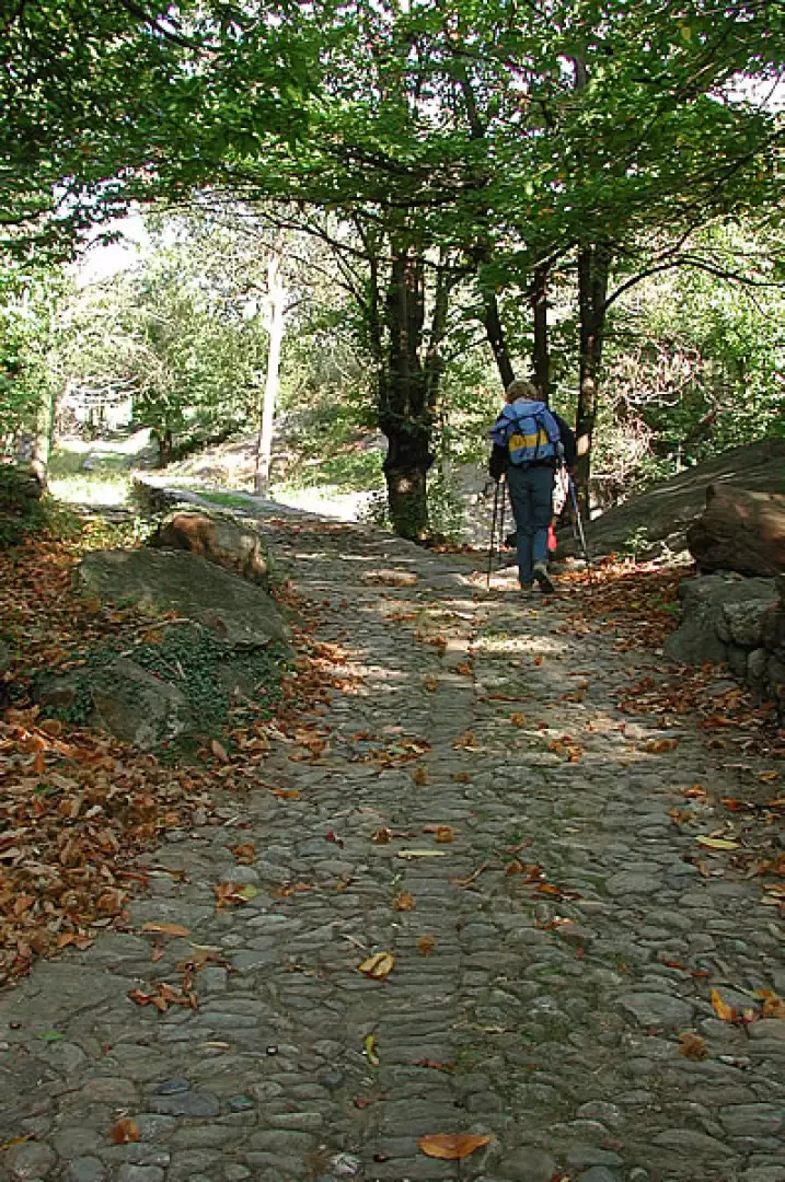
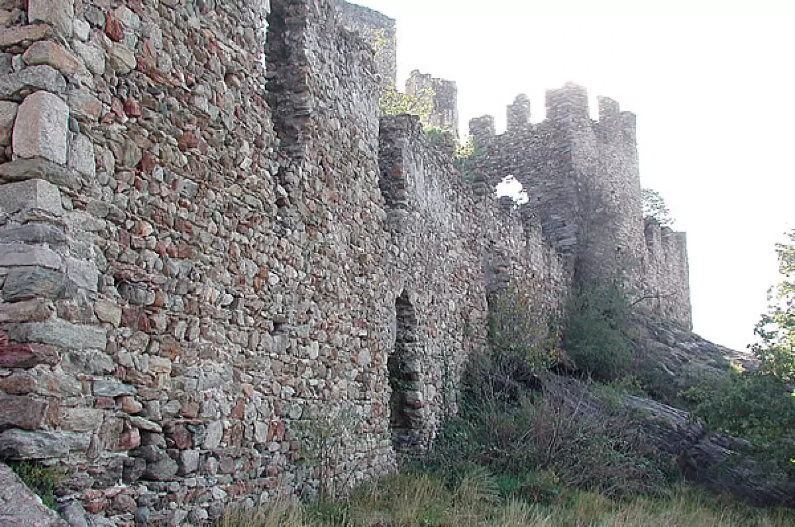
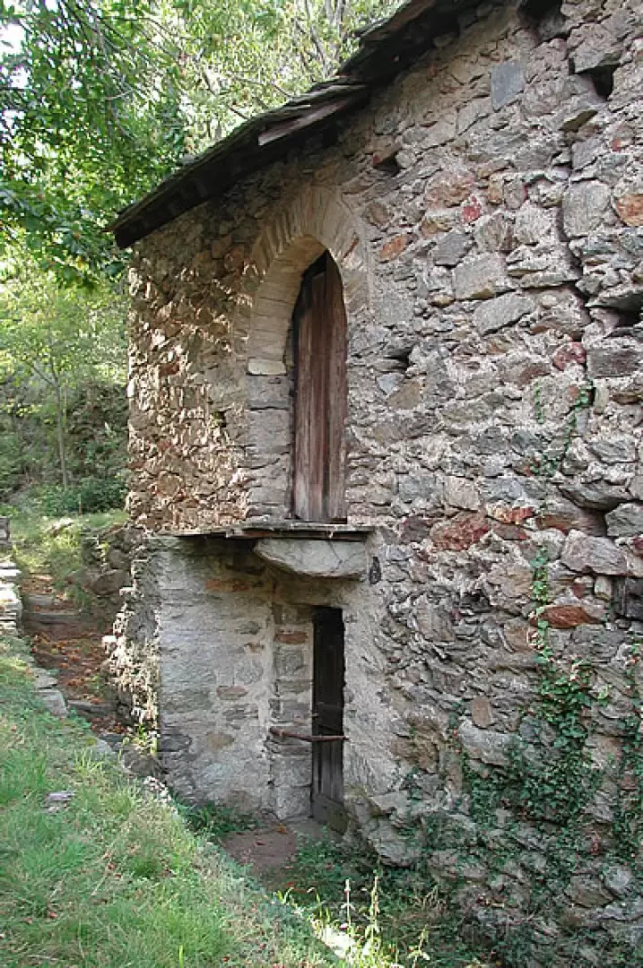
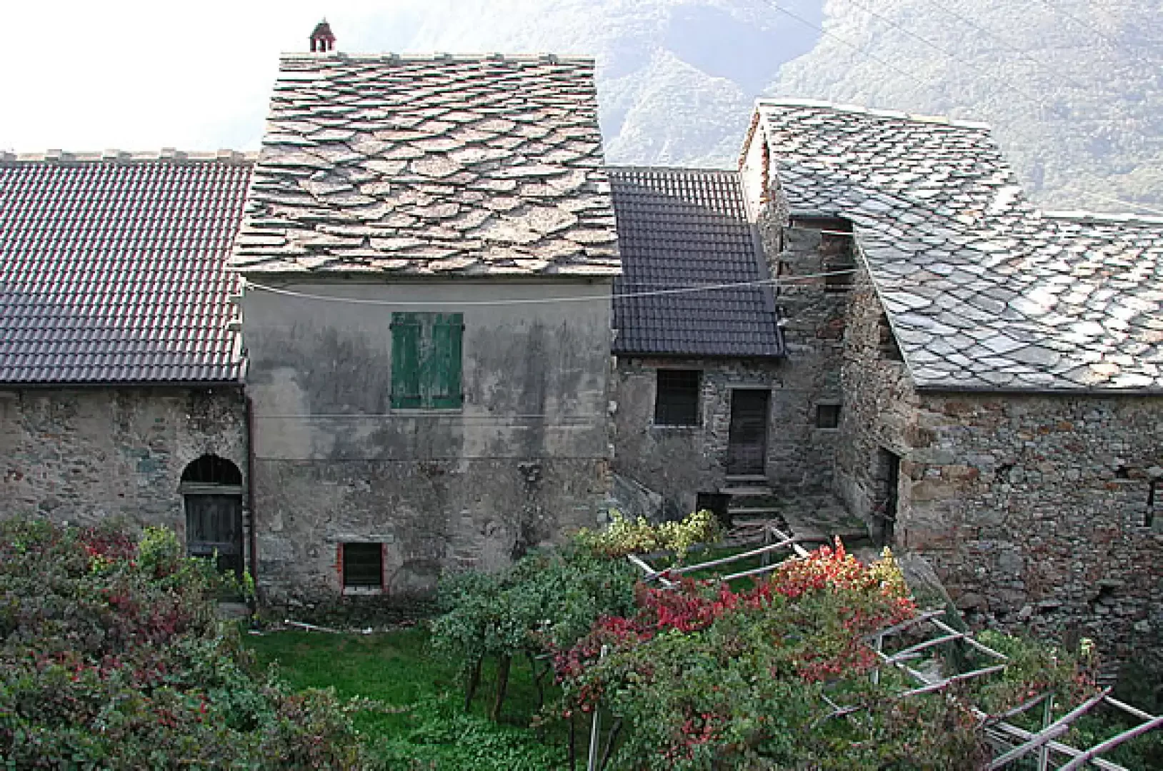
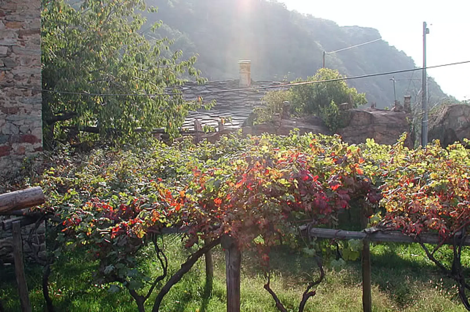
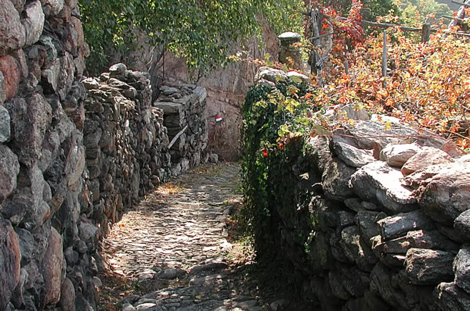
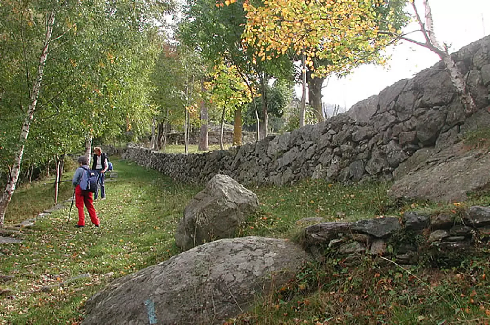
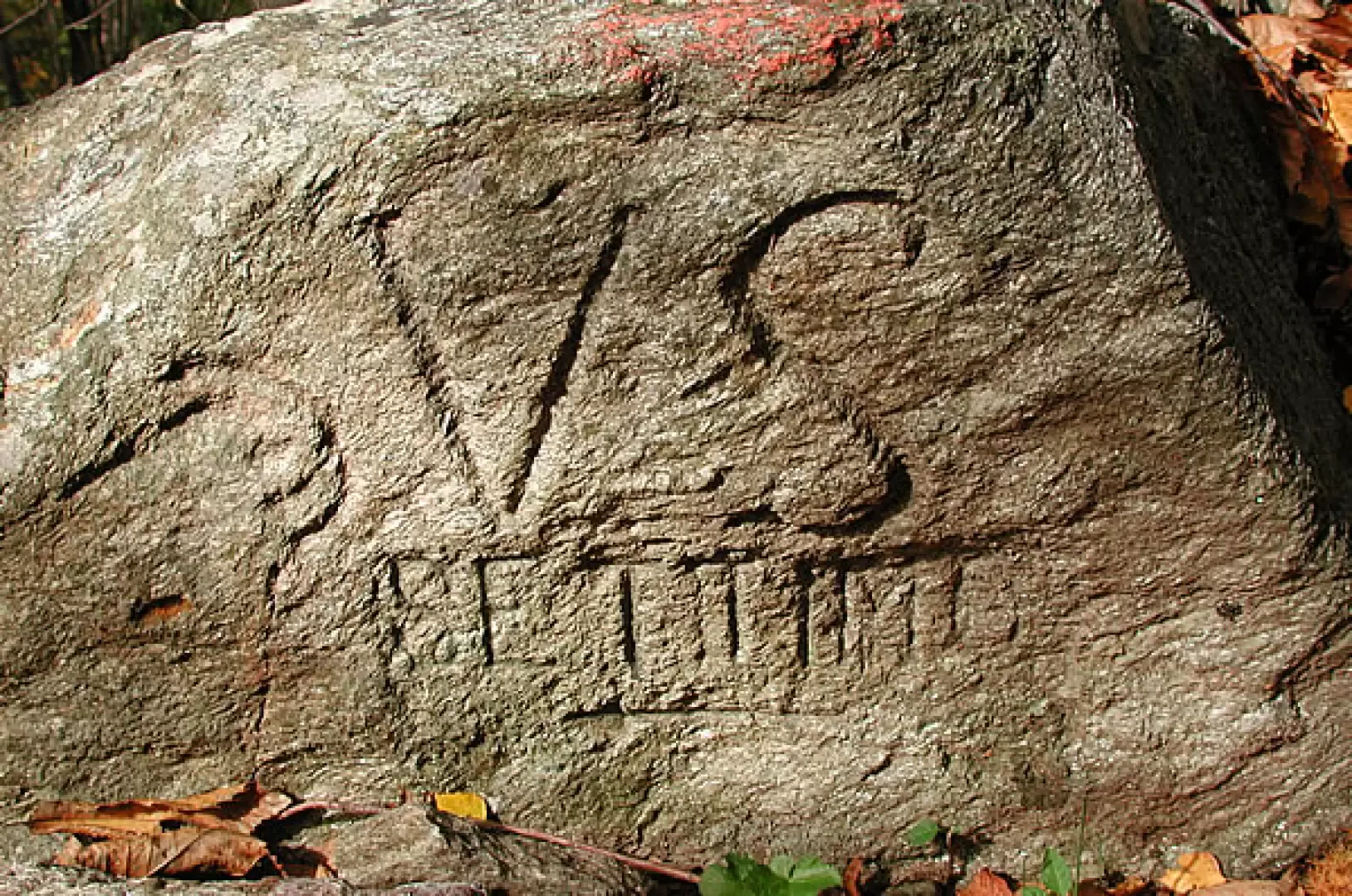
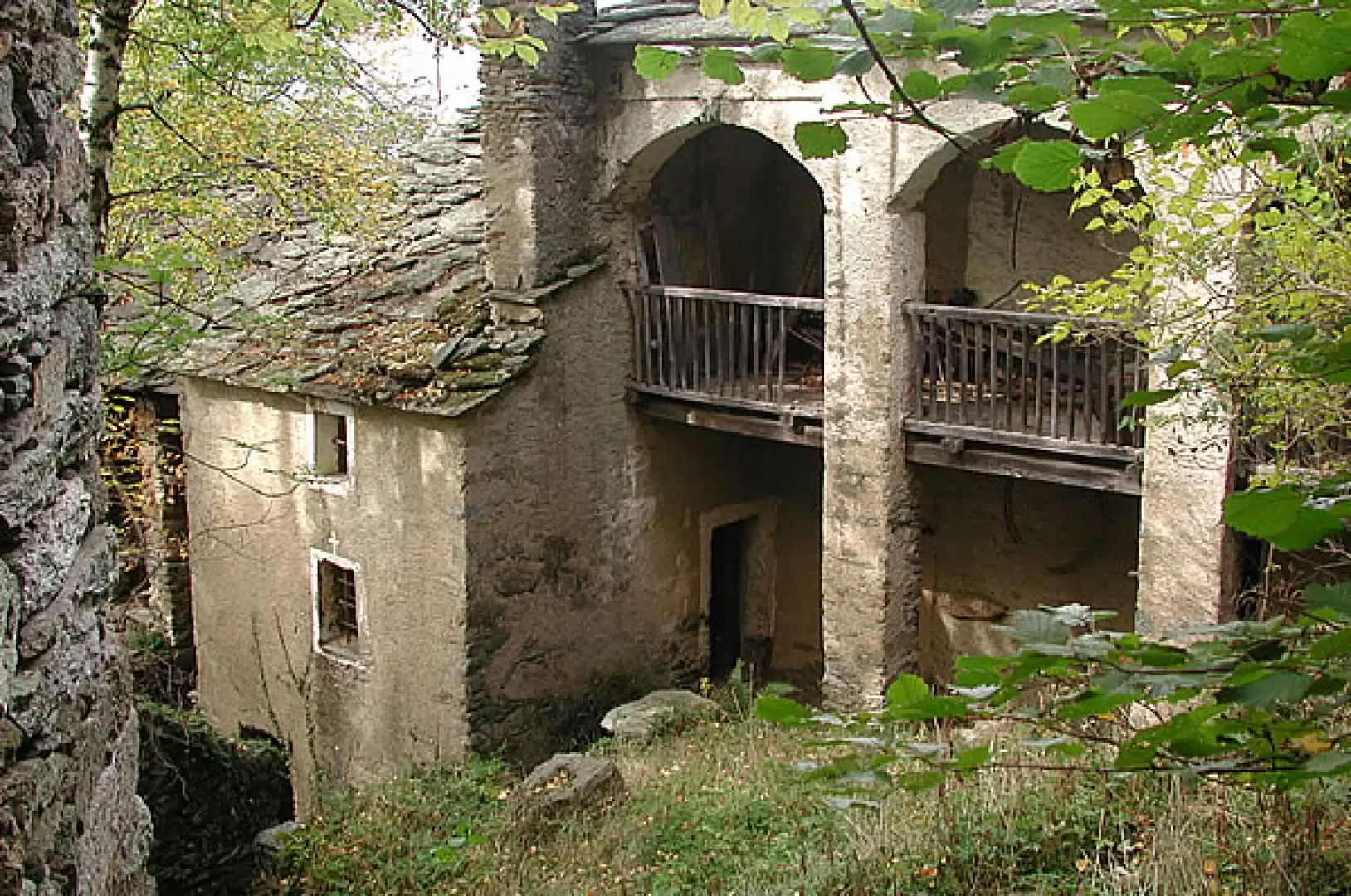
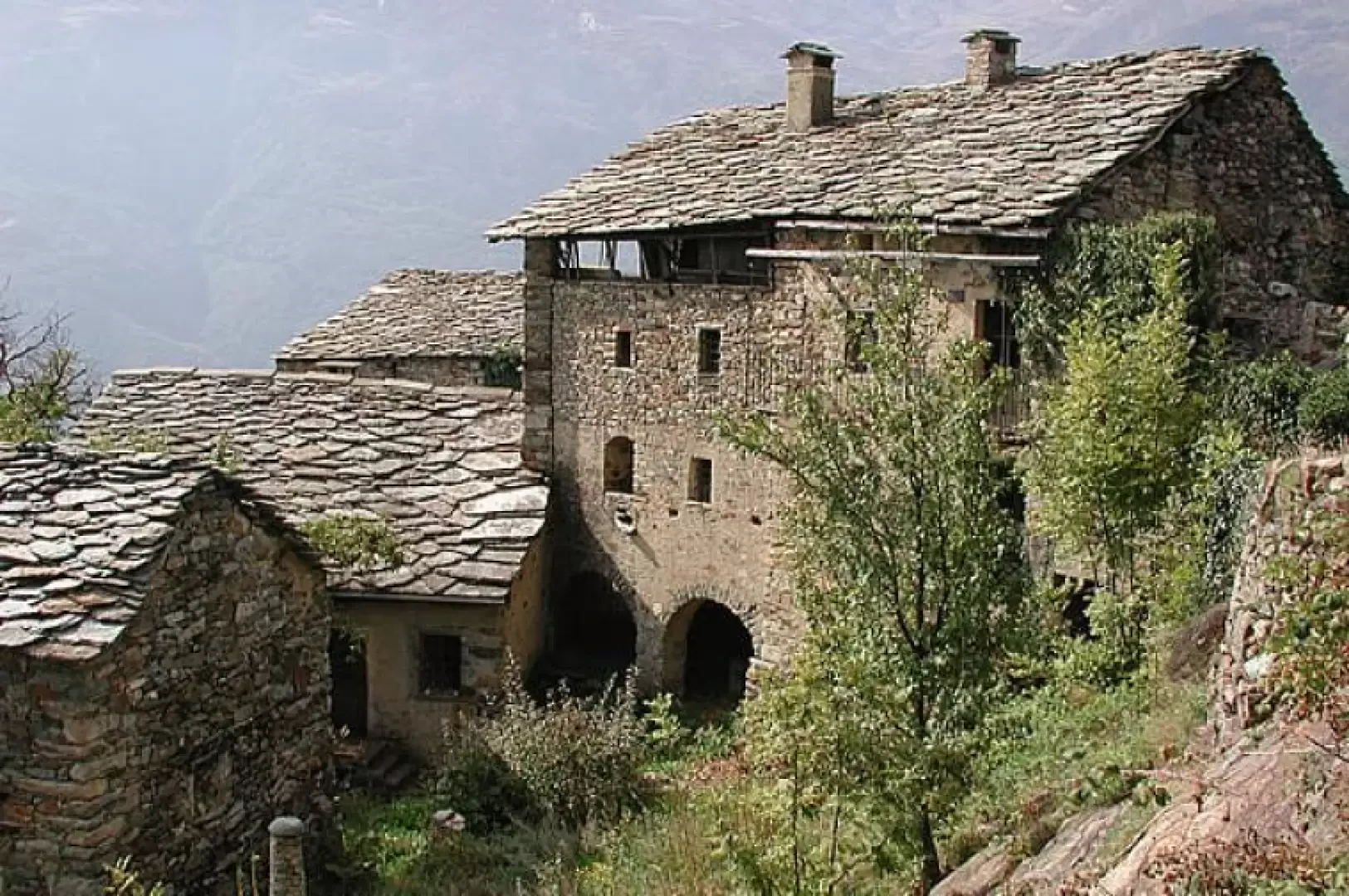
Cesnola (313m) is a delightful little village, at the foot of Andrate and Trovinasse, surrounded by vineyards, accessible by paths and mule tracks. We start from the small village square and head left, passing a beautiful stone fountain, in front of which there is a fresco. We continue under the arch of the bell tower, then turn right into the middle of the vineyards; a stone arch above which there is a beautiful tupiun is remarkable. These cone-shaped constructions characterise the whole area; they are made of stone and mortar, and serve to support the supports to which the vines are tied. Immediately afterwards, to the right, there is a lovely covered wash-house; we, on the other hand, head along the mule track [E2], to the left, before the wash-house. If you look around, you can see the immense work done by our ancestors, moving all the stones one by one, and transforming them into walls and terraces, draining the land with irrigation pipes, and filling the terraces with earth to cultivate the vines, which cling everywhere, even above the gigantic erratic boulders. The path climbs up in steps and steps, leaving a group of huts to the left, entering a small green valley, and still to the left, after the huts, a small path leads to the ruins of the castle of Palma di Cesnola; the mighty crenellated walls are still visible; to the south-west, a wide view of the valley. We take the path again, leaving a building with beautiful stones to the left; we ascend and pass some houses with terraces supported by mighty walls in front. We ascend further; to the left, a balmetto, a cellar typical of the area, is visible under an enormous stone. At the first fork, we ignore the path to the left that descends to Torre Daniele, and continue on the footpath with the aid of wooden sleepers; even at the second fork, we continue to climb, until we come to a splendid mule track in the midst of chestnut trees; we climb up in places along steps, and arrive at 820m, in the midst of a group of mostly ruined huts; we cross a track and continue along the mule track. You come to a first chapel on the left, continue uphill until you come out onto a clearing, protected by a fine wall, and you reach another little chapel; you are now at the Chiaverina houses, inhabited all year round thanks to a track that reaches them from above. We continue along the footpath, arriving at the highest point of the route (1060m, 2h30'), and at a crossroads, on whose stones the directions are carved below, we follow [[Settimo Vittone]], descending to the right. We have travelled this route in the autumn, walking on chestnut leaves, hedgehogs and chestnuts; the mule track now descends very steeply, but always well maintained, to the houses of Pellerei, completely enveloped by chestnut trees, which must have been beautiful, and still display fine architecture. Descending, we come to the Settimo Vittone-Trovinasse asphalt road and follow it for a while, until we find another piece of footpath on the right, which leads to the village of Sneira. We cross the meadows to the south-east until we come to a bridge with a railing; we reverse direction, and immediately to the right near a chapel of the Madonna d'Oropa, we take a path that leads to the houses of Spalavera. After crossing a stream on a wooden bridge, we join the mule track that descends out of the woods and winds its way through the vineyards; below us reappears Cesnola, which is reached in a few minutes (1h15' descent, 3h45' in total). From the chapel, you can either proceed in a southerly direction and, with a small diversions, visit Cornaley, after which you retrace your steps, or you can take another mule track that descends downwards and also reaches Cesnola, without passing through Spalavera.
Photo gallery

Comments (0)
Sign in to leave a comment