Bric Paglie, from Piazza Fraschetto

Edited by:
Massimo Martini
Updated at: 11/09/2026
Access
Road directions
At the Quincinetto motorway junction [A5], enter the roundabout and take the second exit, following the signs for Quincinetto centre. Continue for 0.06 km (0.06 km) until you reach the next roundabout. Enter the roundabout and take the first exit, joining the state road through the Aosta Valley heading north. Continue on the for 3.36 km (3.30 km). Turn left towards Andrate, joining Via Provinciale (signposted Trovinasse – Cornaley – Settimo Vittone). Continue along the for 8.76 km (5.40 km), climbing steadily up the mountainside. Continue along the same road as Via Provinciale becomes the SP72 and carry on until you reach the entrance to the village of Andrate. In the centre of the village, turn left onto Via delle Alpi and continue for 12.12 km (3.36 km). After approximately 0.07 km (72 m), turn right onto Via delle Alpi/Piazza San Rocco. After 0.01 km (5 m), turn left into Via del Camposanto and continue for 0.12 km (120 m) until you reach Piazza Flavio Ilvo Fraschetto.
Car park
In Piazza Flavio Ilvo Fraschetto, near the Andrate sports ground, there is a free 🅿️ car park on a tarmac area. The car park is situated a short distance from the start of the walking route and provides easy parking even during busy periods.
Access by public transport
The centre of Andrate is connected to the town of Ivrea via inter-urban bus services operated by Gruppo Torinese Trasporti (GTT). The frequency of services may be reduced on public holidays and during school holidays.
Official website: www.gtt.to.it
Distance and journey time
🕒 Journey time: 23 minutes
📏 Distance: 13.30 km
GPS navigation
📍 How to get there with Google Maps
📍 How to get there with Apple Maps
ℹ️ Important note
The directions provided were verified on the date the route was mapped. Before setting off, we recommend checking for any changes to the route or road conditions. For up-to-date information, please consult Google Maps or Apple Maps.
Introduction
Bric Paglie (1,859 m) lies along the Pre-Alpine ridge that separates the Biella area from the Canavese, in a commanding position between the Piedmont plain and the foothills of the Alps. The route from Andrate begins in woodland, before continuing over grassy slopes and open ridges, with the view gradually opening up towards the Graian and Pennine Alps. The route is suitable for hikers and does not involve any mountaineering sections, but care is required on steep sections and along the final ridge when the ground is wet or snow-covered. The absence of significant technical difficulties does not rule out the physical exertion required by the total elevation gain.
The recommended period coincides with seasons when there is no persistent snow cover; in winter, the summit ridge may be exposed to wind and ice.
Description
0h00' 0.00km Set off from the centre of Andrate (950m) and follow the secondary road towards San Giacomo on a tarmac surface.
0h20' 1.20km Leave the village, take the farm track, follow the red-and-white signposts and head into the mixed woodland of beech (Fagus sylvatica) and chestnut (Castanea sativa).
0h45' 2.30km Keep to the left at the first junction, climb up a moderate slope on a dirt track and reach Colle San Carlo (1028m).
1h30' 4.20km Follow the south-eastern slope of the ridge, alternating between wooded sections and grassy clearings with larch trees (Larix decidua), passing a panoramic viewpoint at around 1,450m.
2h15' 6.10km Climb the ridge through pastures and along stony tracks, passing close to the Nicoletto hut, then continue along the ridge, which gradually opens out.
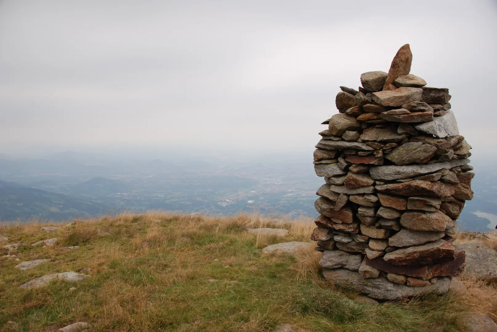
3h15' 7.90km Follow the final ridge over grassy and gravelly ground, keeping a northerly direction, until you reach the cairn at the summit of Bric Paglie (1,859m).
Return via the same route, covering a total distance of 9.80 km with a descent of 910 m. Take care on the gravelly sections if the ground is wet or icy.
Places of interest
- Andrate
- Alpe Cavanna Mountain Hut
- Bric Paglie
Collections
- walks starting from Piazza Fraschetto – on the map
- walks in Andrate – on the map
- hikes in the Canavese area – on the map
- hikes on the 1000s of Piedmont – on the map
Comments (0)
Sign in to leave a comment