Suretta Bivouac, from the Spluga Pass
Introduction
Unusual route to reach the popular Suretta bivouac: passing by the Swiss side and some picturesque lakes, you cross wide terraces of stones and boulders of various geological origins, always with wonderful views of the Swiss and Italian limestone groups. The return trip is along the shorter 'normal' access route, next to the waterfalls of the stream coming from the remaining Suretta glacier. When we reach Montespluga, the last permanent settlement on Italian territory, we return to the pass following the route of the historic Via Spluga, along the 17th century route.
Description
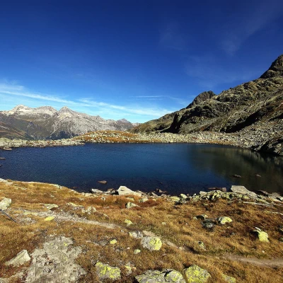
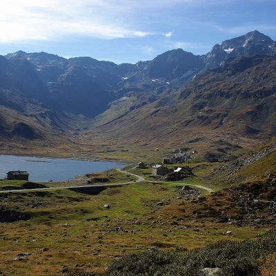
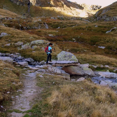
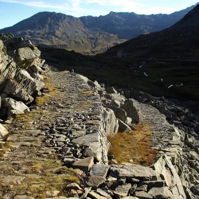
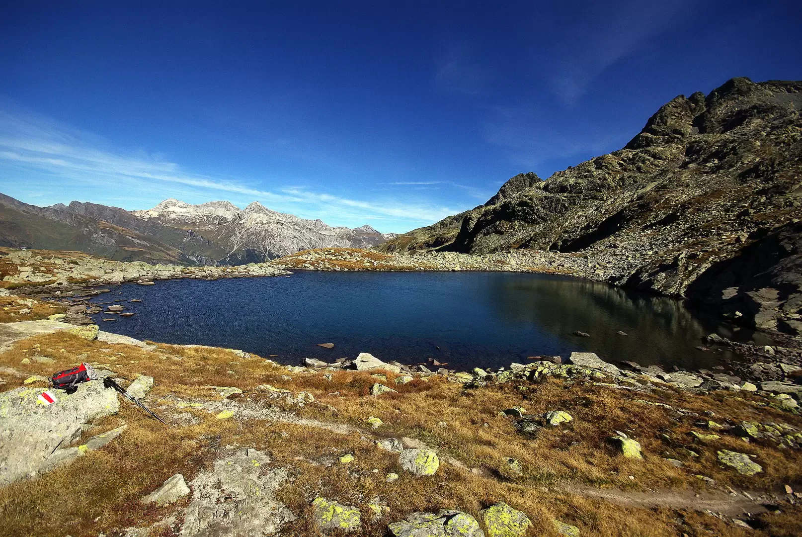
From the Passo dello Spluga car 2115 m, turning right onto a small road in Swiss territory, in just a few dozen metres you reach the real Passo dello Spluga 2113 m (currently on the footpath from Chur to Chiavenna); following the signs, go up the slope with a series of hairpin bends that take you up to the valley between Mittlerschwarzhorn and Innerschwarzhorn and culminating in the Surettajoch. Immediately in front of us is the magnificent Bergseeli 2311 lake. From here, for a long stretch, you will proceed over stony terrain, following the good signposting step by step until you return to Italian territory at the first and largest of the Laghi Azzurri 2429 m. The route, after an initial ascent of a gully of rocky slabs and large boulders, tends in an easterly direction to cross, on scree terraces, the heads of several valleys that converge from Lake Montespluga into the basin of the Cime Cadenti (Innerschwarzhorn, on the Italian side) and Pizzo Suretta. For a short distance, now within sight of the hut, you set foot on the remnants of the Suretta Glacier, which surround the detrital ridge where the panoramic Suretta Bivouac 2753 m is located. The descent begins towards the south, still on stony ground, keeping a distance from the waters of the glacier, but parallel to their direction; having reached a plateau, which serves as the starting point of the Suretta waterfalls, a long diagonal begins, which - with hairpin bends - allows you to cross the rocky step of the waterfalls themselves. A wide grazing valley leads to the main road, which at this point runs on a small viaduct over Lake Montespluga: a few hundred metres on asphalt lead to the few houses of the permanent settlement of Montespluga 1905 m. Following the yellow Via Spluga signs, cross the Torrente Liro and begin an easy ascent among the pastures to the austere building of the old cantoniera (roadman's office); cross the state road and, on marshy terrain, arrive at a crossing of an ancient landslide: here the material superimposition of the road structures of two successive epochs remains very evident. A few more steps on a splendid and well-preserved cobbled road and you find yourself at the pedestrian Spluga Pass, a short distance from the initial parking area.
