Petazzi bivouac at Lake Ledù, from Bodengo


Edited by:
Marco Bonati
Updated at: 09/12/2024
Introduction
This is the Valchiavenna access to the bivouac located on the Alta Via dei Monti Lariani route, just across the provincial SO-CO border. It crosses continuously varying environments according to altitude levels: broadleaf forest, beech forest, grazing maggengo, larch forest, stony amphitheatre, stony and snowy gully on the north side; lake and grazing terrace with a panorama extending to the edge of the plain on the south side. The route is very sparingly signposted in the less suitable section: serious orientation difficulties in poor visibility.
Description
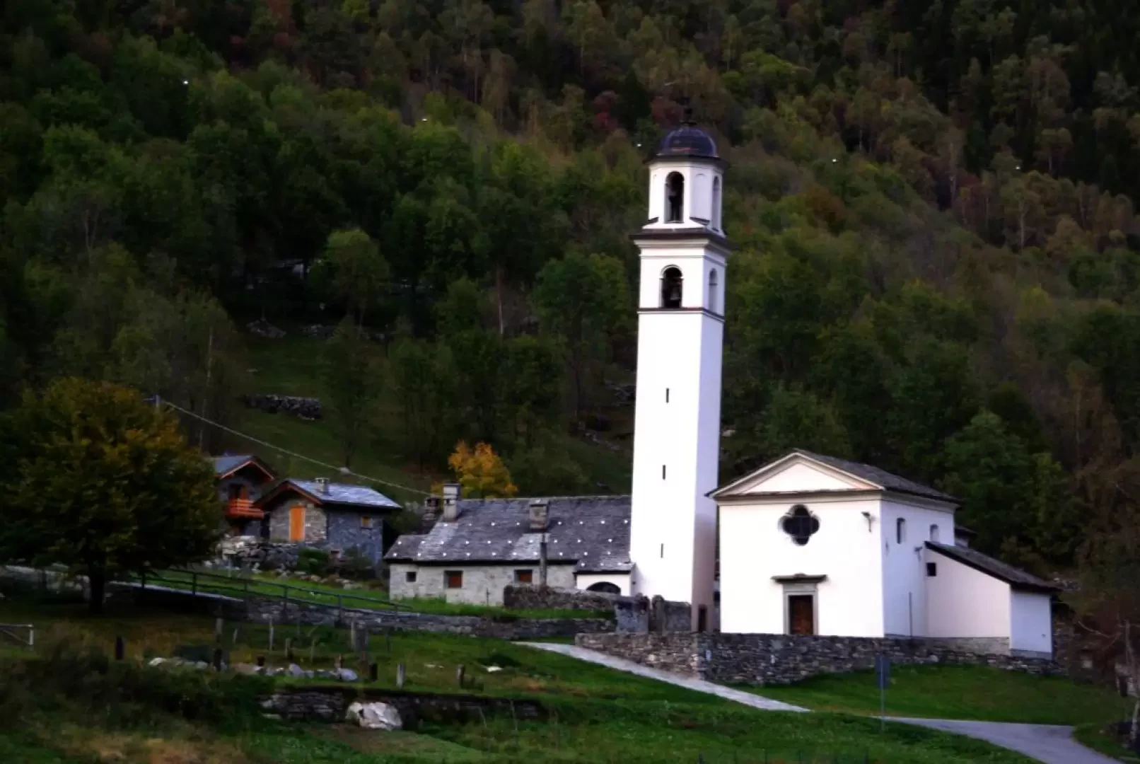
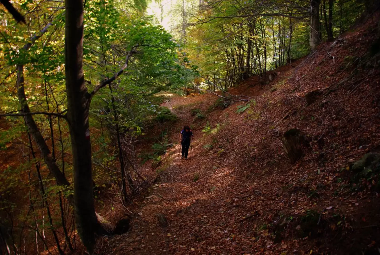
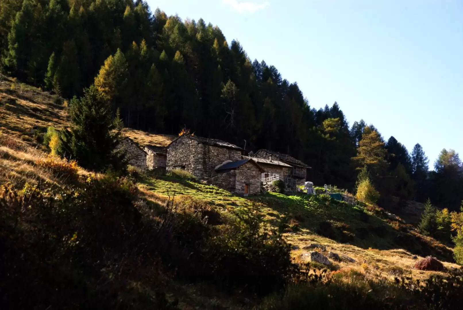
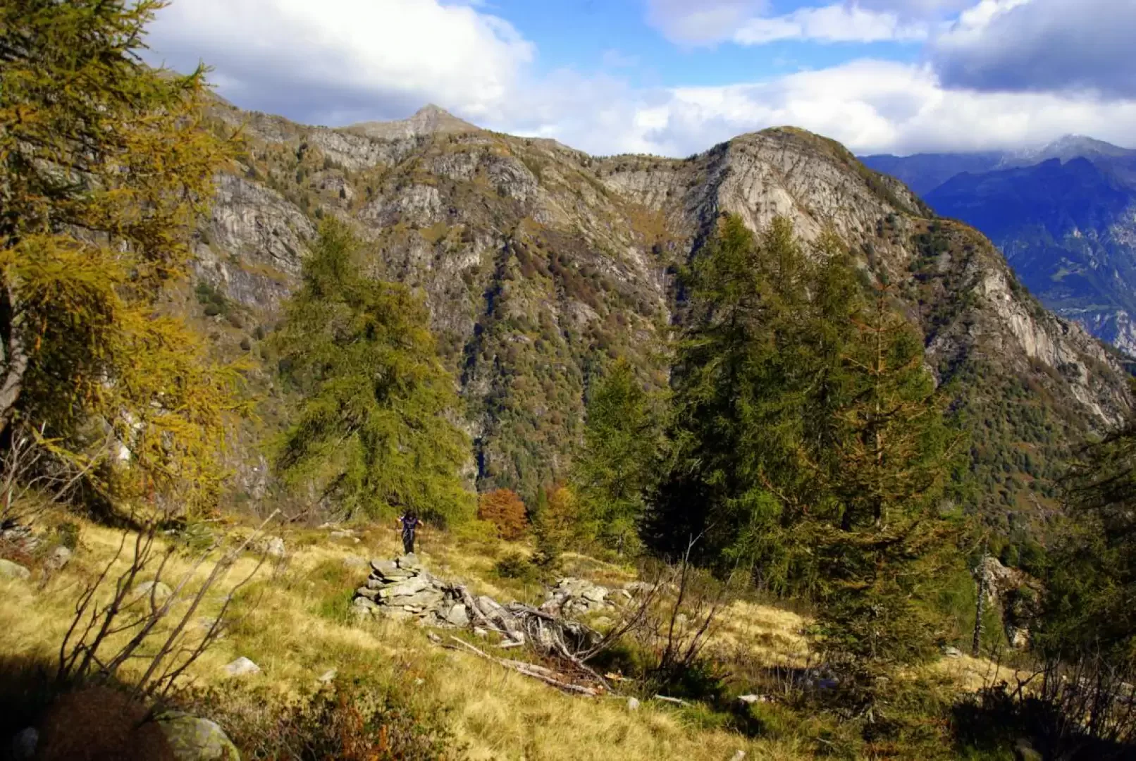
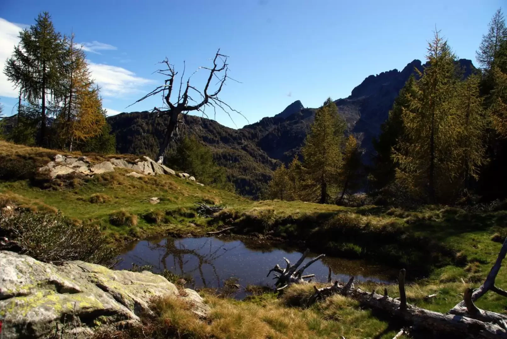
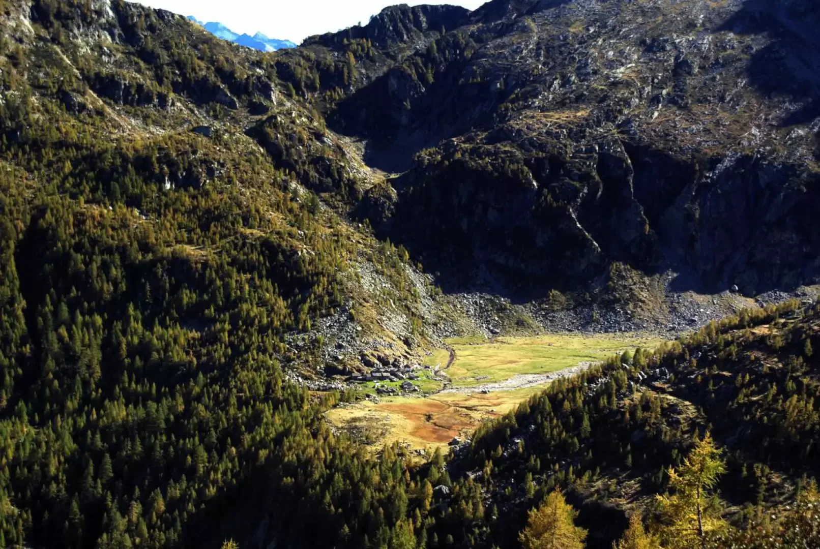
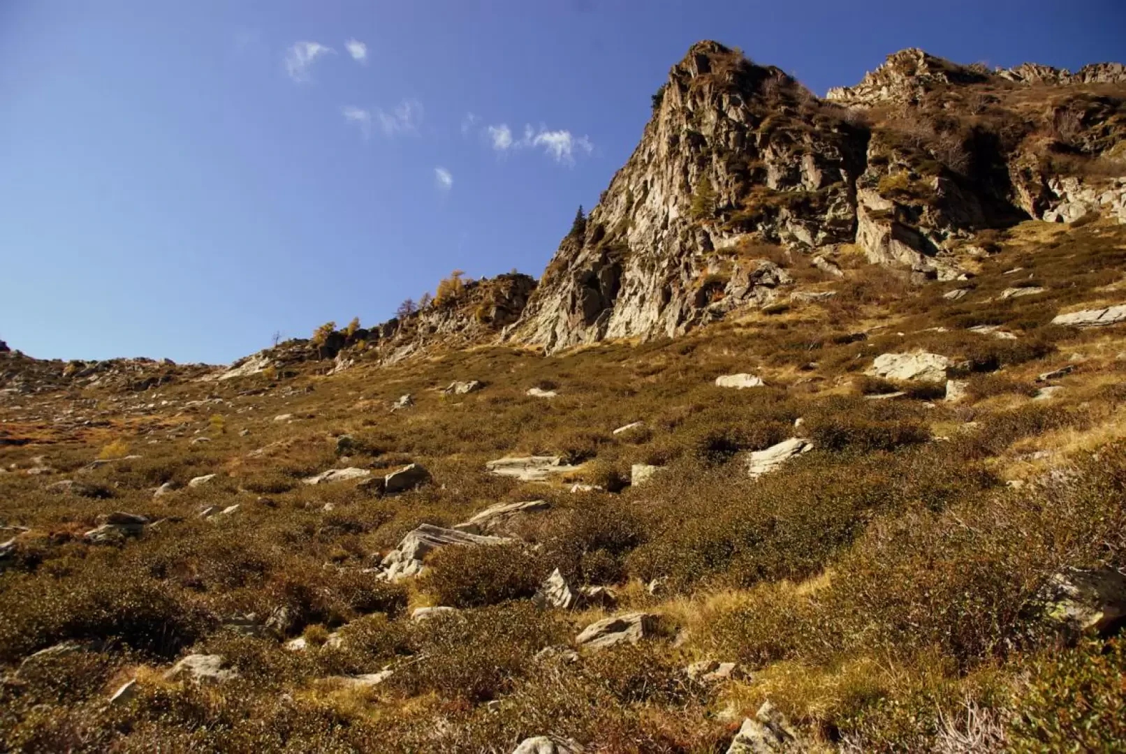
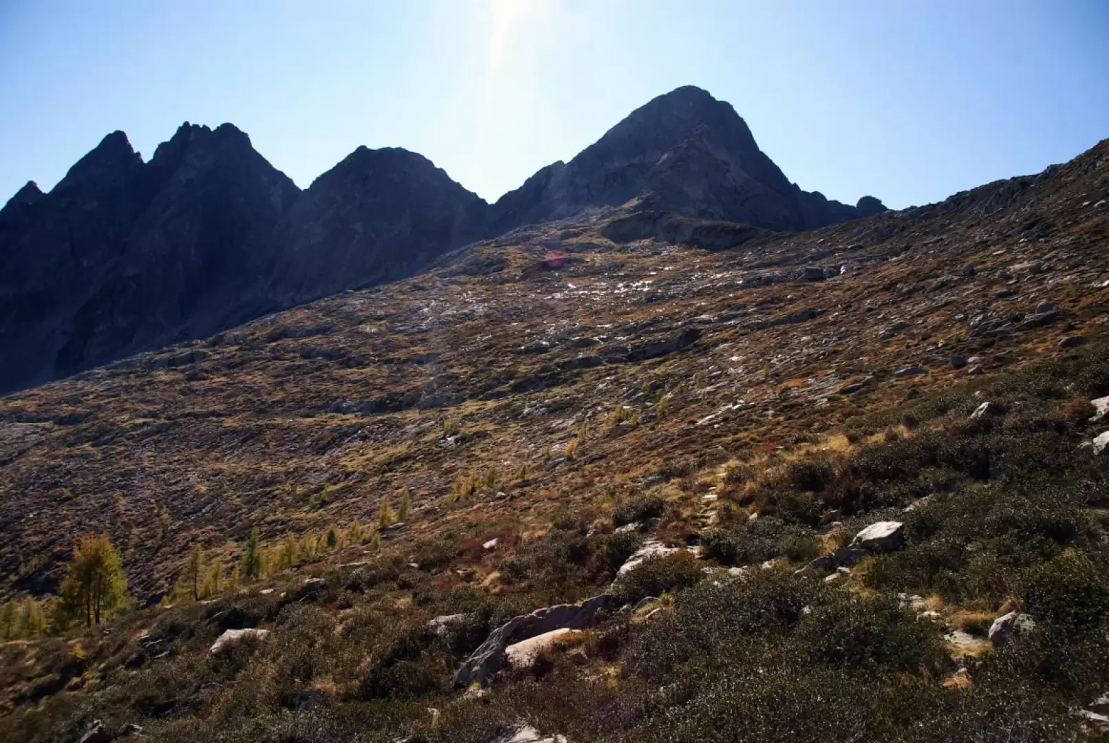
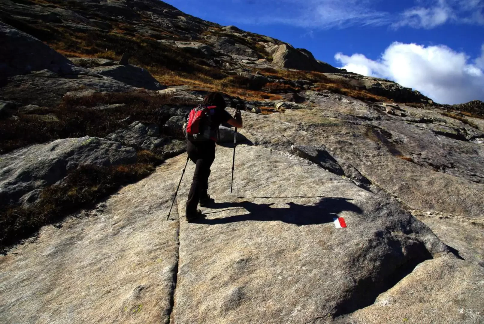
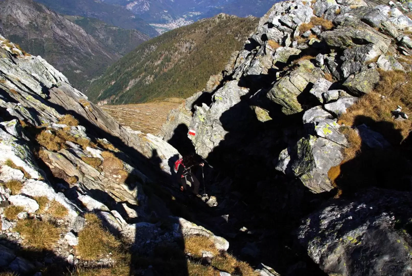
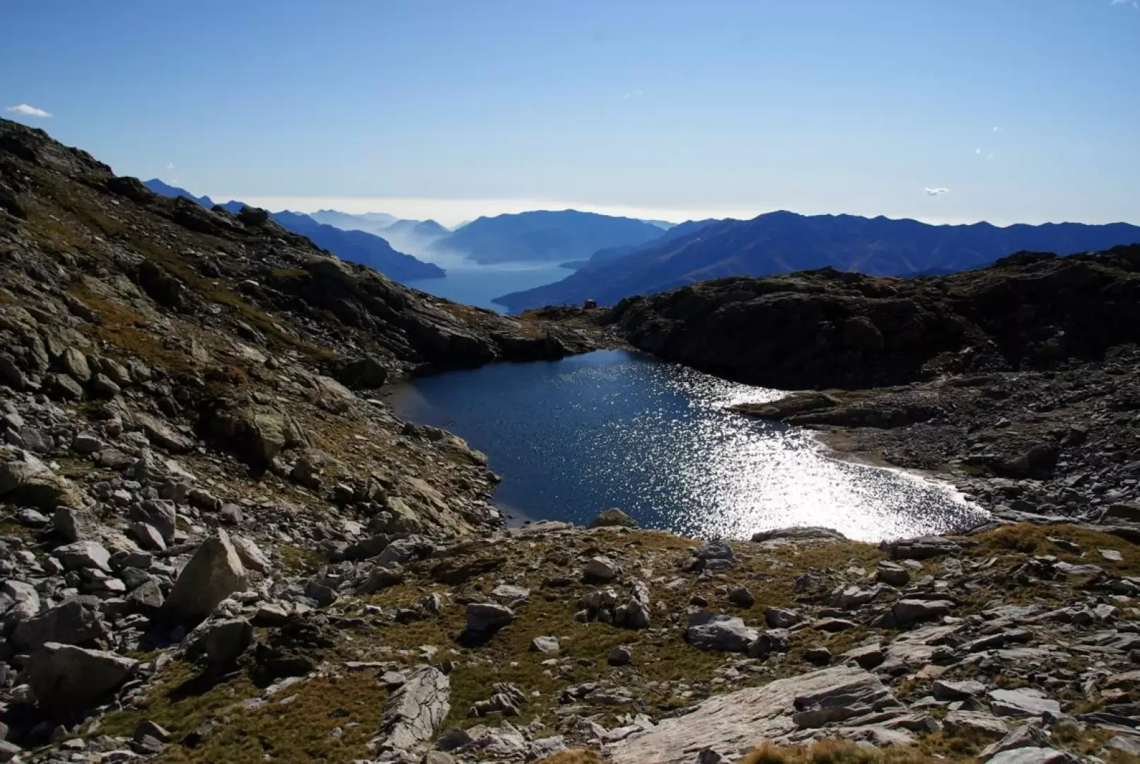
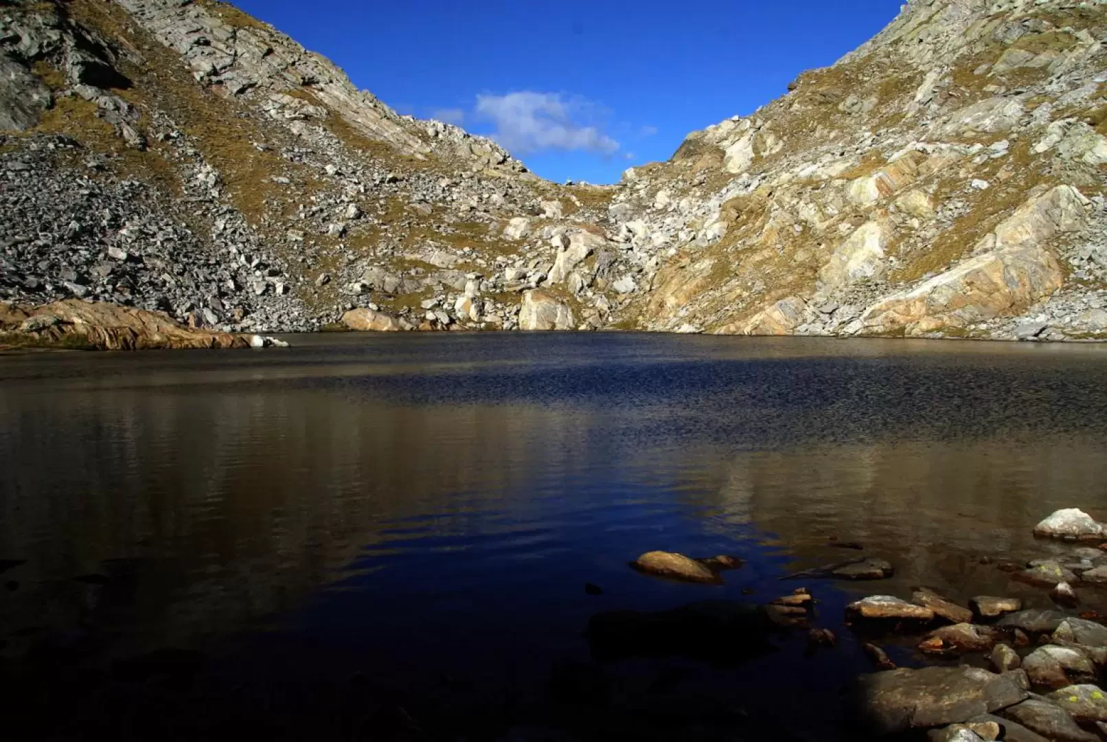
From the large car park at Bodengo 1030 m, take the little path that begins the ascent just opposite the bridge leading to the typical crotti. The ascent is constantly intense and with regular hairpin bends through the beech forest, we reach the Alpe Dosso esplanade 1501 m. The track in the grass climbs to reach the upper edge of the alpine pasture, entering the larch forest: the route is very picturesque in its ascent in twists and turns up the hump culminating in the pyramid of Monte Cucco 2081 m. After a few detours into the shady side of the Valle Soè (to the right) and the encounter with some watering holes, the path heads decisively into the Valle Garzelli (to the left): short stretches are exposed and landslide-prone. You soon reach the terminal cirque of the Garzelli valley (below, a beautiful view of Alpe Campo 1656 m): here the signposts thin out and the trail tends to disappear or become confused. It is necessary to locate a sort of flat balcony with the ruins of four huts and follow it until intercepting the more evident signs coming up from Alpe Campo. You abruptly change direction, turning right almost to the line of maximum slope: long stretches on rocky slabs approach the landslide of blocks at the base of the gully to be climbed. The effective signposting (beware, however, of paint marks on dislocated boulders!) leads a little to the left where the detritus is finer and a track appears; the ascent becomes really steep and the bottom very mobile: a narrow rocky passage ends the route in the gully at Bocchetta del Cannone 2273 m. The change of scenery on the other side is dramatic: a beautiful little lake - Lago Ledù 2250 m - with two shy little beaches introduces the construction of the Bivacco Petazzi 2245 m overlooking Lake Como and its surrounding mountains. The bivouac is reached from the outlet by circling the lake on its right bank above some sheer slabs in the water.
Return along the outward route. In order to avoid the lengthening of the route through the balcony with the ruins of the huts, it can be convenient (excellent visibility is necessary, however) to follow a diagonal from the base of the gully of the bocchetta to the point where the path enters Valle Garzelli (at the thinning of the signposts): without any danger, on the marshy pastureland or between the rock slabs or walking along them, you can avoid any ups and downs of the outward route (here and there traces of passage).
Photo gallery
Comments (0)
Sign in to leave a comment