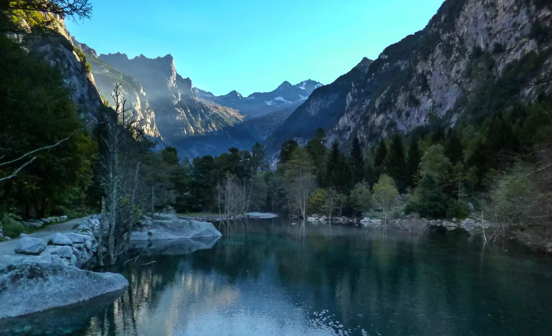
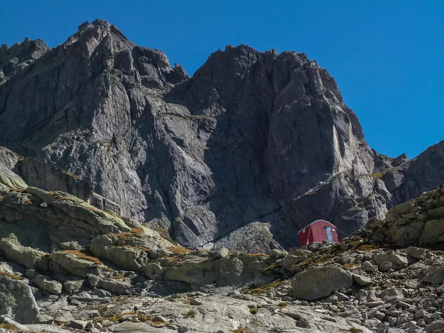
Manzi-Pirotta bivouac, from the Gatto Rosso locality


Edited by:
Marco Bonati
Updated at: 09/12/2024
Access
From Milan to Ardenno along state roads 36 and 38; at the crossroads near the railway station turn left towards Valmasino. Drive up the valley to the village of San Martino. It is possible to continue into Val di Mello as far as Gatto Rosso (80 parking spaces) by paying a toll (currently €5, at the issuing machine at the San Martino car park).
Introduction
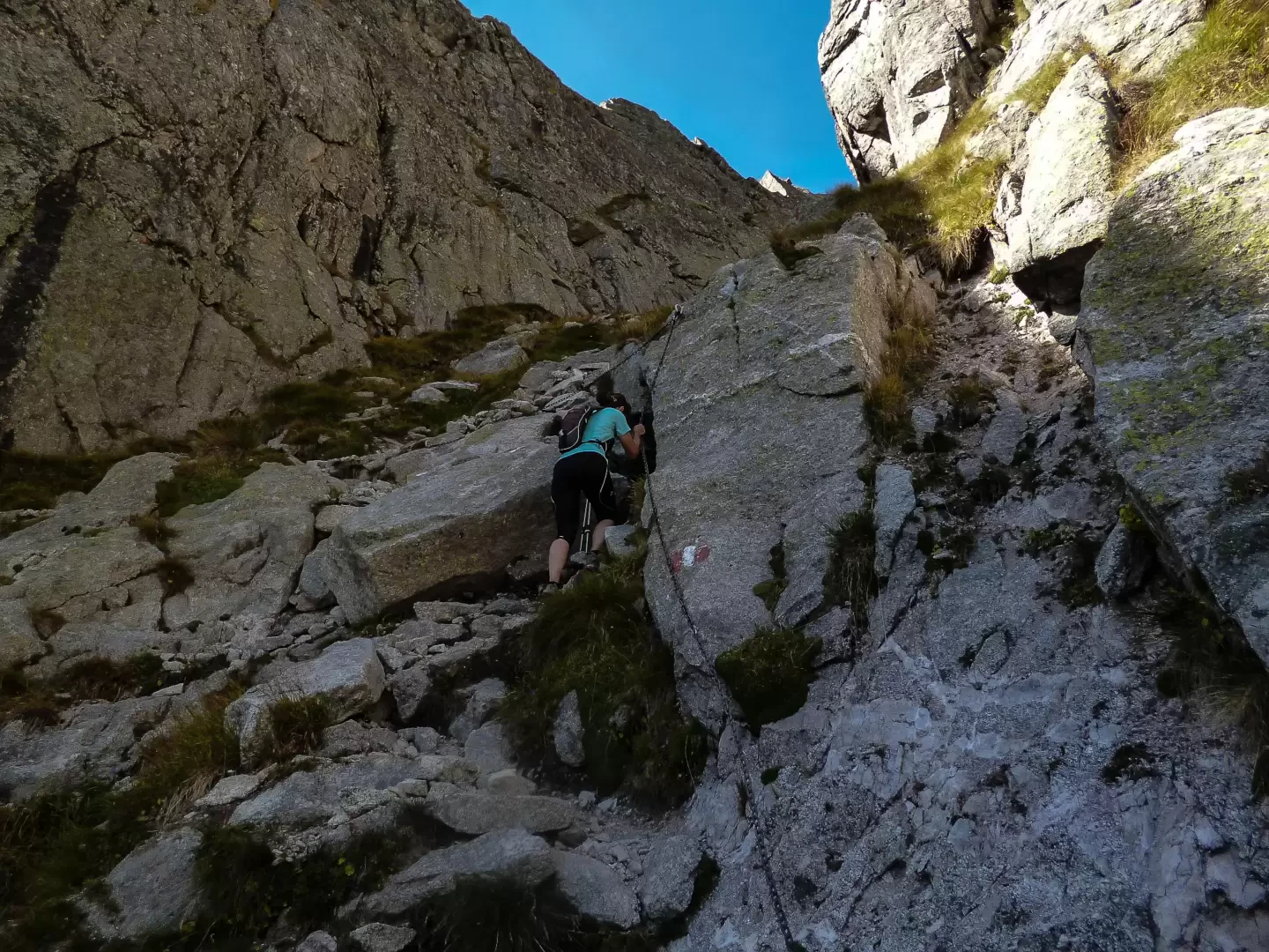
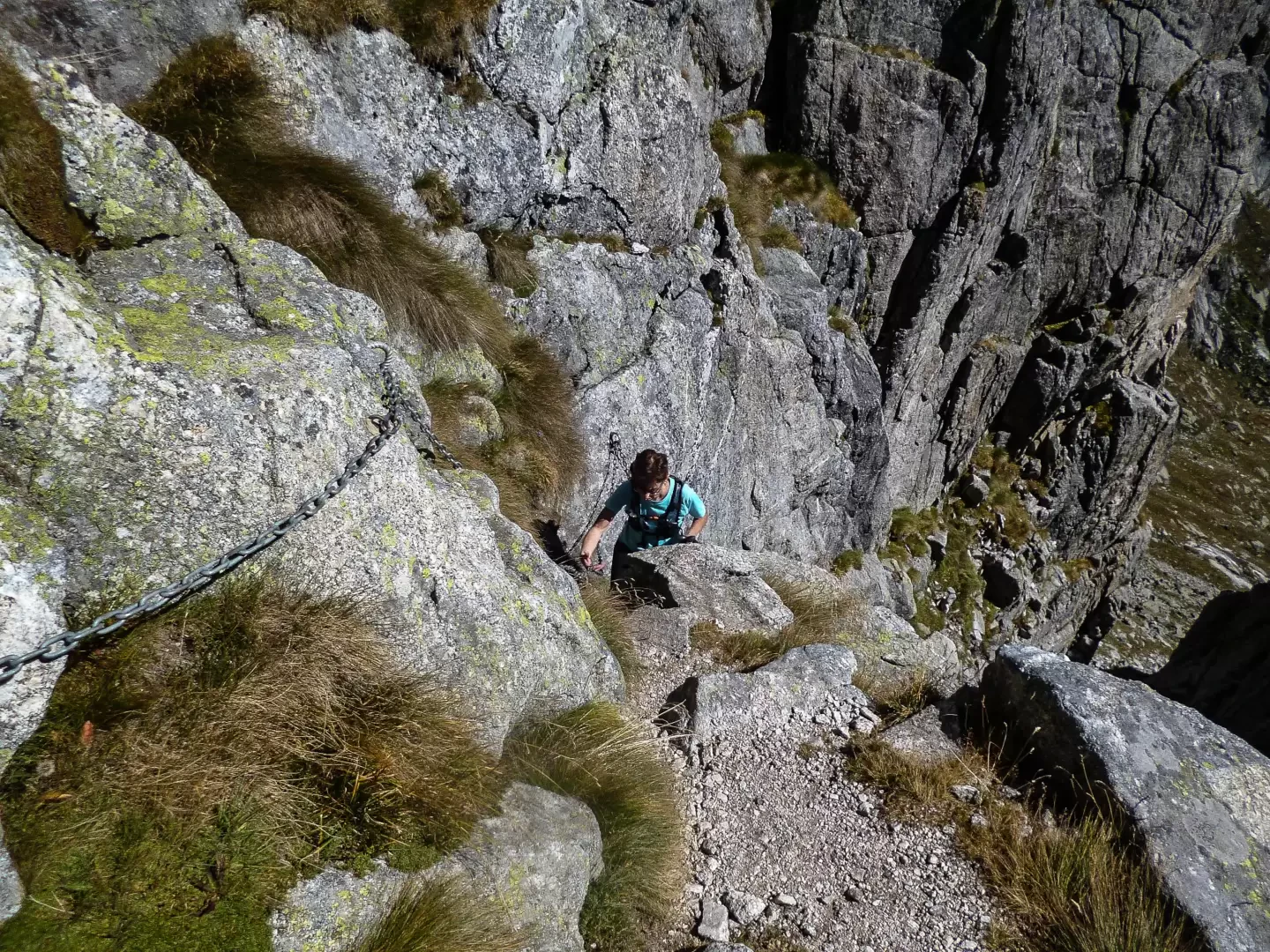
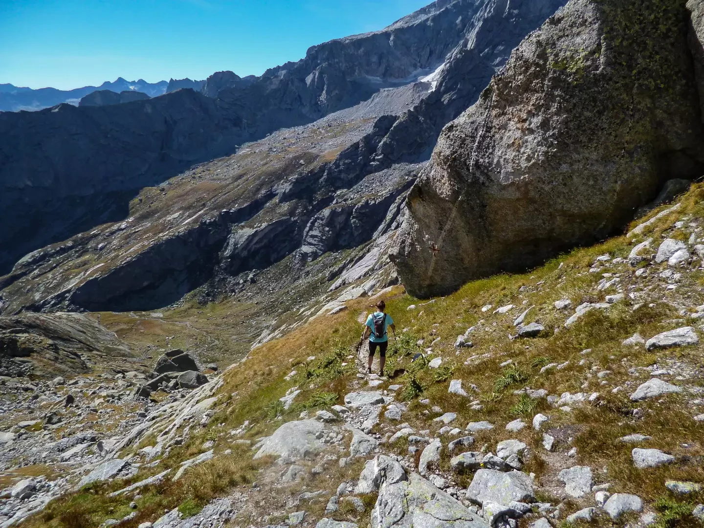
The route follows a section of the famous 'Sentiero Roma' trek (although followed in the opposite direction to the normal direction), perhaps the most spectacular, at the foot of the granite peaks of Val Torrone and Valle di Zocca. Access to the Bivacco Manzi bivouac - albeit without orientation problems - is rather disused and long stretches are untracked or overgrown; the ascent of the Val Torrone gully is rocky and steep, but well assisted by progression chains; lastly, the descent to the valley from the Allievi-Bonacossa hut has all the characteristics of a heavily frequented route. Of course, the approach route along the mythical Valle di Mello is also worth highlighting.
Description
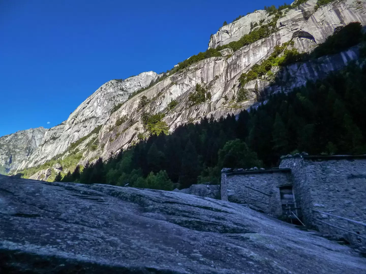
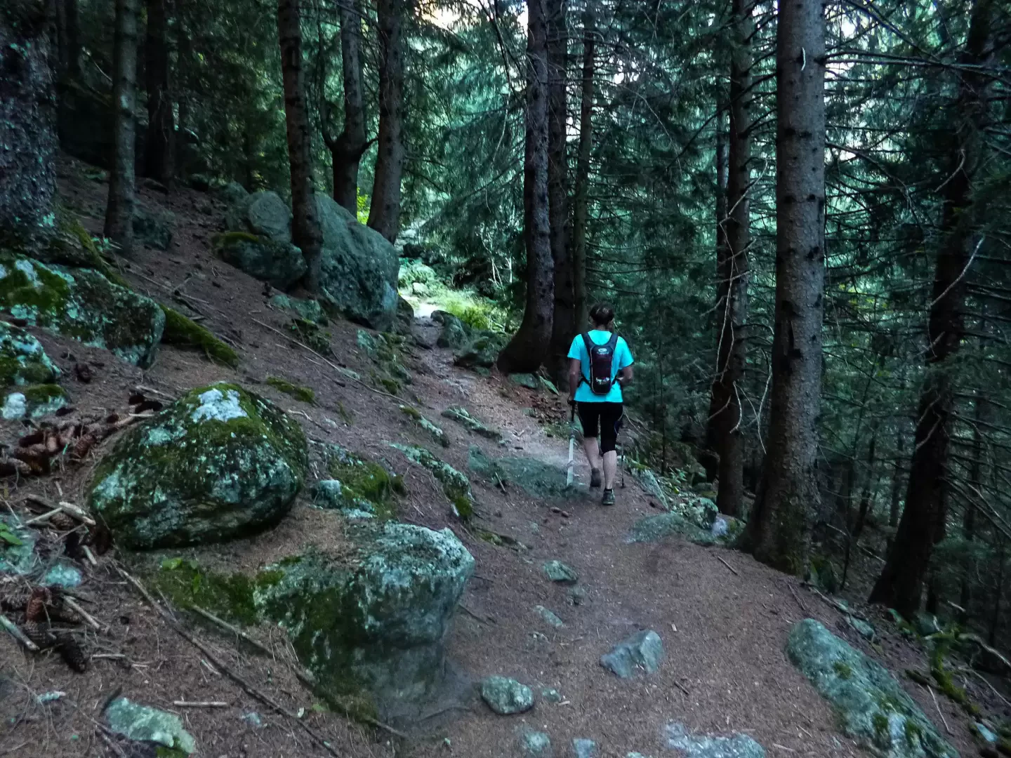
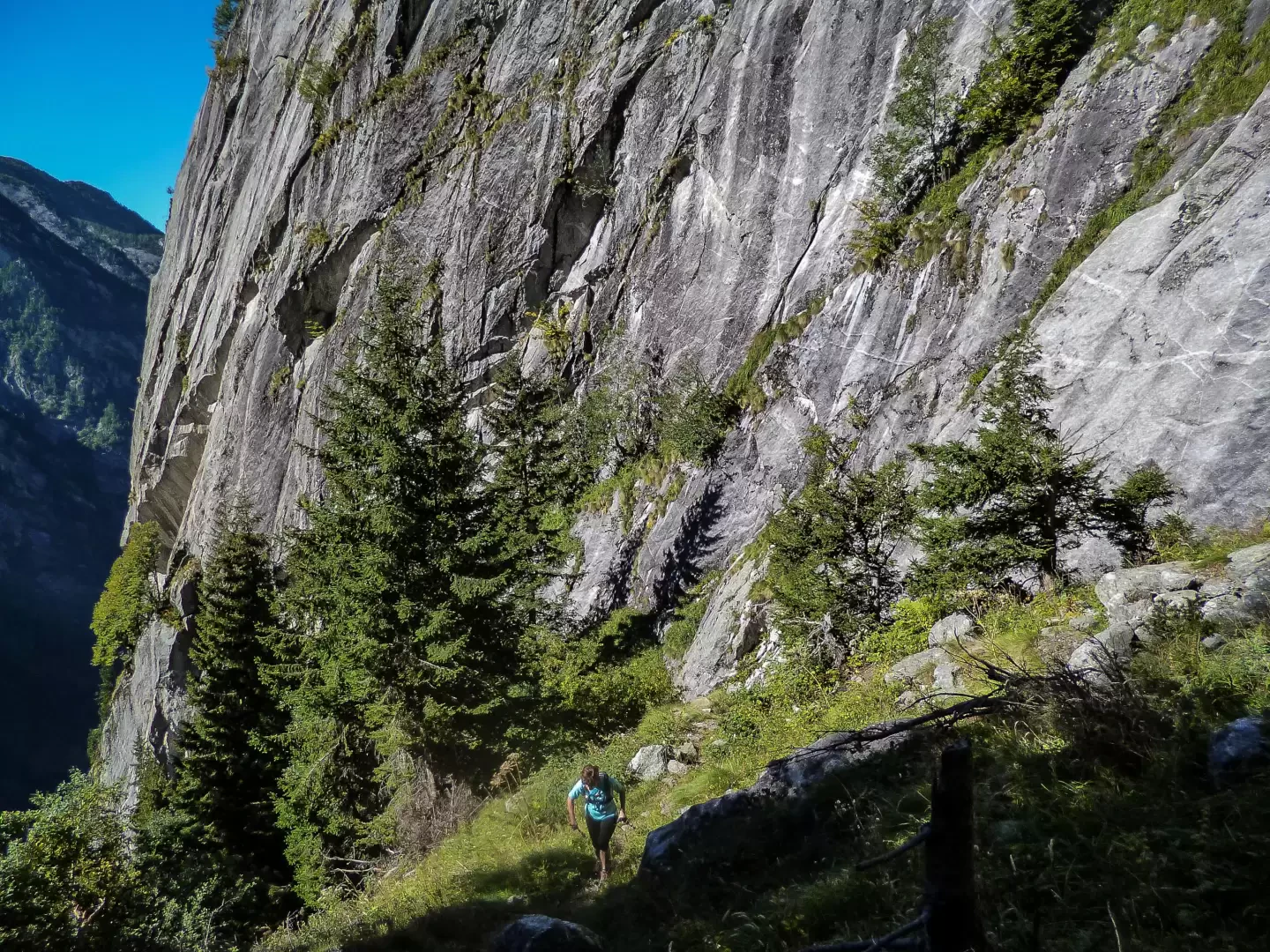
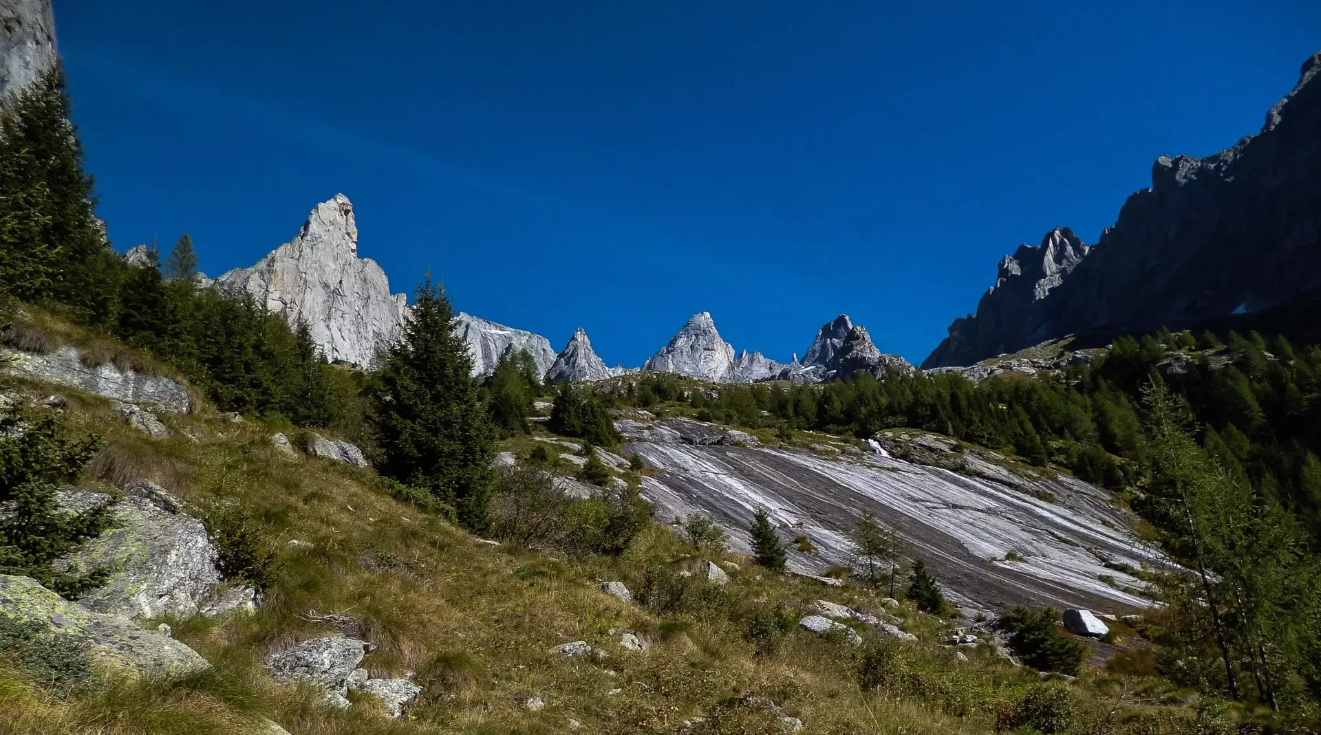
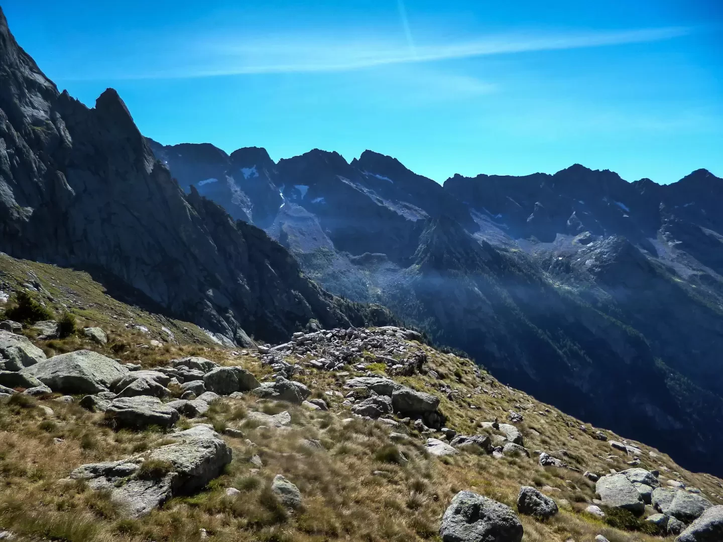
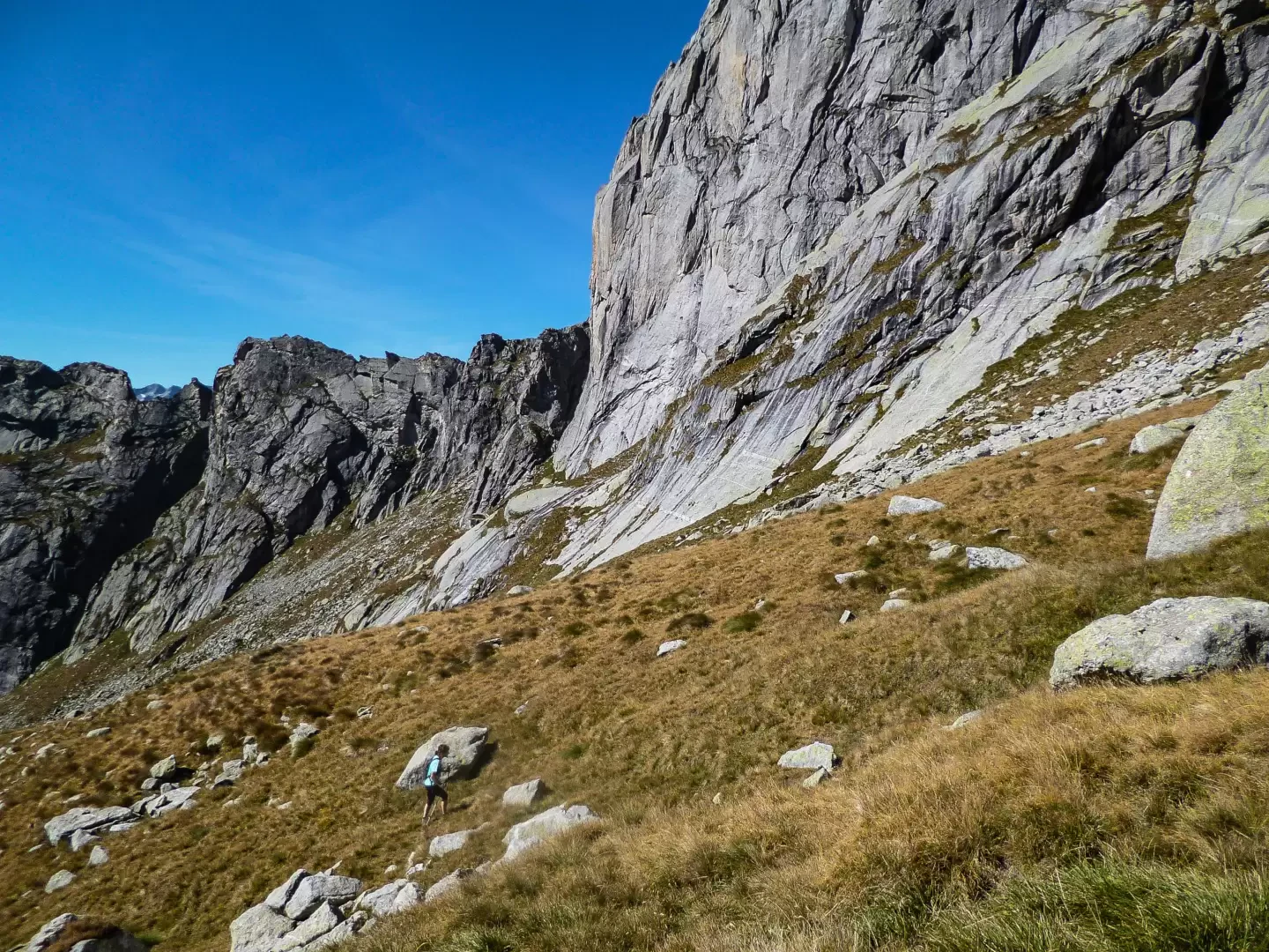
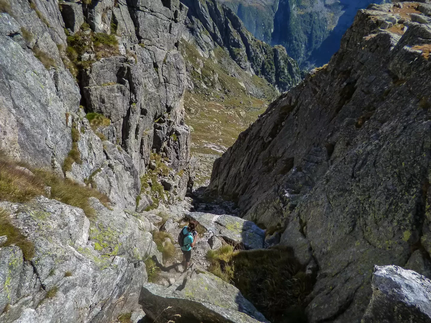
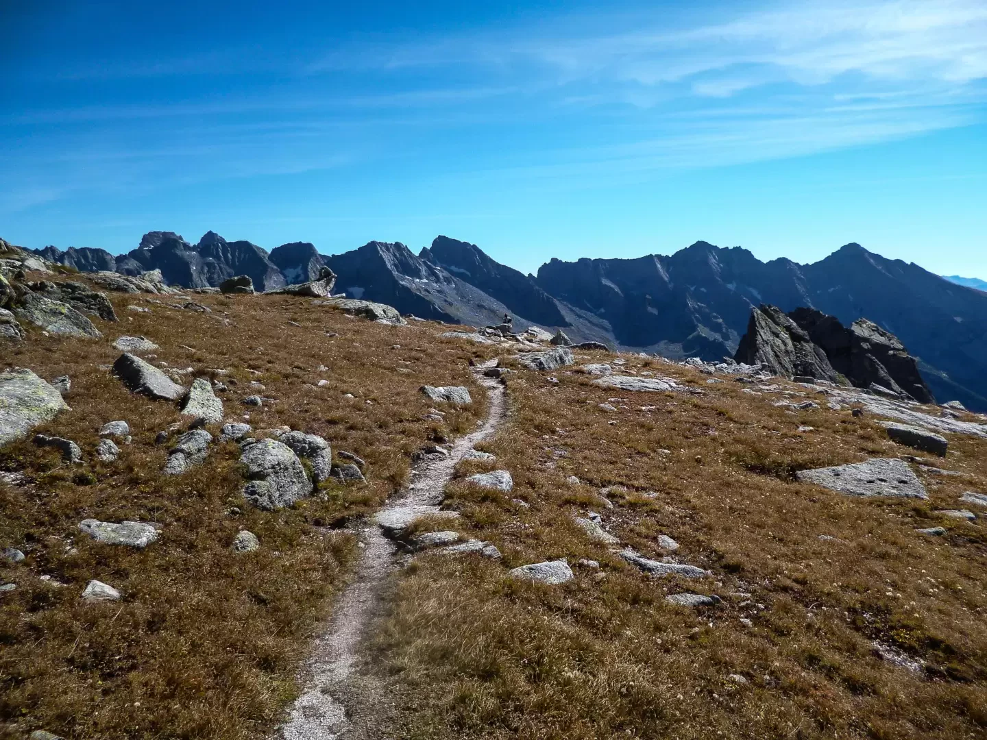
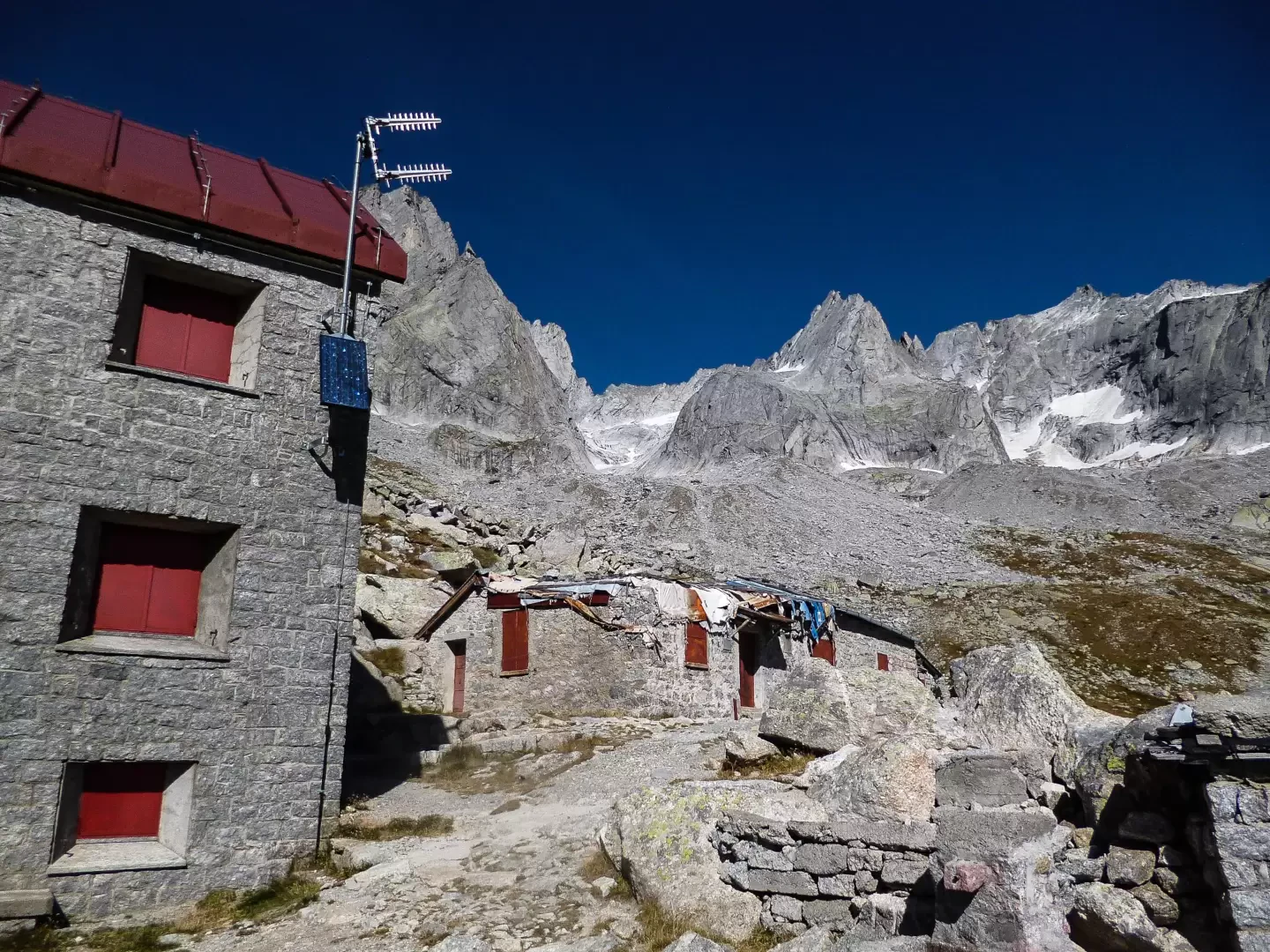
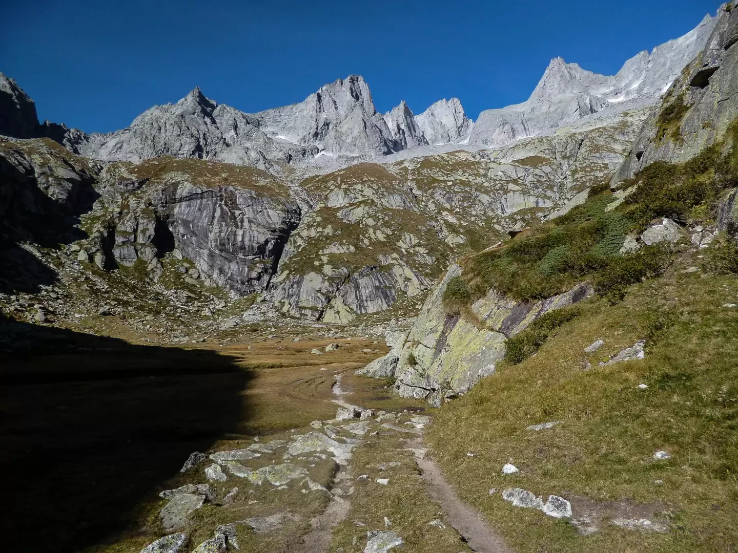
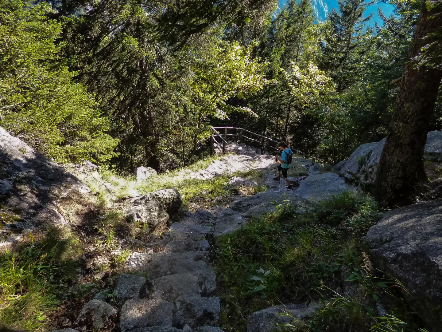
From the Gatto Rosso car park (contrada Cà dei Rogni 1049m), continue along the valley floor track beside the stream, leaving the Panscer huts 1061m (inn-refuge) to the right and going through the cluster of huts at Cascina Piana 1092m (inn-refuge); from here - having passed the junction to the left for the Allievi-Bonacossa refuge, the return route - the easy climb becomes slightly steeper to Rasega 1148m (inn-refuge). The track ends and we continue along an evident path that climbs up into the wood, approaching the torrent that descends from the Val Torrone; without crossing the bridge (junction for Val Cameraccio), we climb steeply up its bank to the foot of a smooth rocky wall: from this point, we ascend the bottom of a narrow valley on tracks often ruined by avalanches and torrential floods. Near large boulders (in a cavern: Casera Torrone 1996m), you come out onto the high pastures of the Torrone valley and gradually move to the centre of the amphitheatre until you come to the few ruins of the Ferrario hut, destroyed by an avalanche in 1935. At this point, the bivouac is already visible and it is best to climb up the valley where it is more convenient (signs are scarce and outdated) until you meet the marked trail of the Sentiero Roma; following it to the right, you soon reach the debris saddle where the Manzi-Pirotta Bivouac (2538m) is anchored. The excursion continues downhill along the Sentiero Roma in the section already covered and continues to the basal rocks of the Picco Luigi Amedeo, where a recent change in the route (for safety reasons following a serious accident during a past edition of the skyrunning competition 'Trofeo Kima') causes the bivouac to lose a total of about 200 metres in altitude. The sudden ascent (long chains of progression) towards the Valle di Zocca takes place along the narrow notch that culminates in the Passo di Val Torrone 2518m; on the other side, a wide, up-and-down lap in the scree of ancient glaciers leads to the descent towards the two buildings of the Rifugio Allievi-Bonacossa (2385m). From the small square in front of the buildings, the path starts again towards the bottom of the valley; a steep gravelly and unstable track quickly leads to the green pastureland of Pianone di Zocca 2013m, from which - following the direction of the stream - along mounded rocks in a sort of corridor, you pass the "Croce Parravicini", to descend to the hump of Casera di Zocca 1725m, at the edge of the forest. A long series of hairpin bends in the larch and fir forest leads to the bridge that allows you to continue on the other side, still in dense woodland, in the direction of the large rocky slabs of the Valle di Mello. In a short time - now within sight of the meadows at the bottom of the valley - you reach the uphill route between Rasega and Cascina Piana, and - along this - the Gatto Rosso car park.
General information
Tour:from the Gatto Rosso locality with crossing to the Allievi-Bonacossa Refuge
Signposts: white-red
Type of route:circular
Recommended period: July, August, September, October
Exposure to the sun: south
Exposed sections: the Val Torrone Pass has sections equipped with chains
Photo gallery
Comments (0)
Sign in to leave a comment