Alpe Piazza bivouac, from Andalo


Edited by:
Marco Bonati
Updated at: 09/12/2024
Access
From Milan to Andalo along state roads 36 and 38; reaching the highest internal road in the village and heading towards the parish church, at a crossroads turn right in the direction of 'Tempietto Alpini'. The road, which is very steep but asphalted, is forbidden to unauthorised persons after a few bends. Small widening at the traffic ban.
Introduction
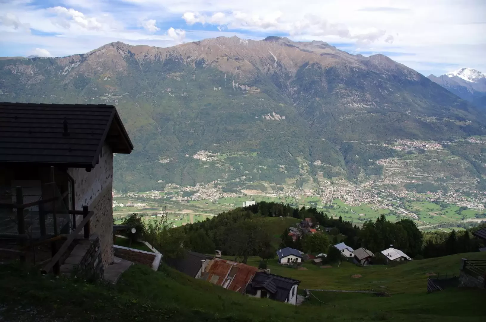
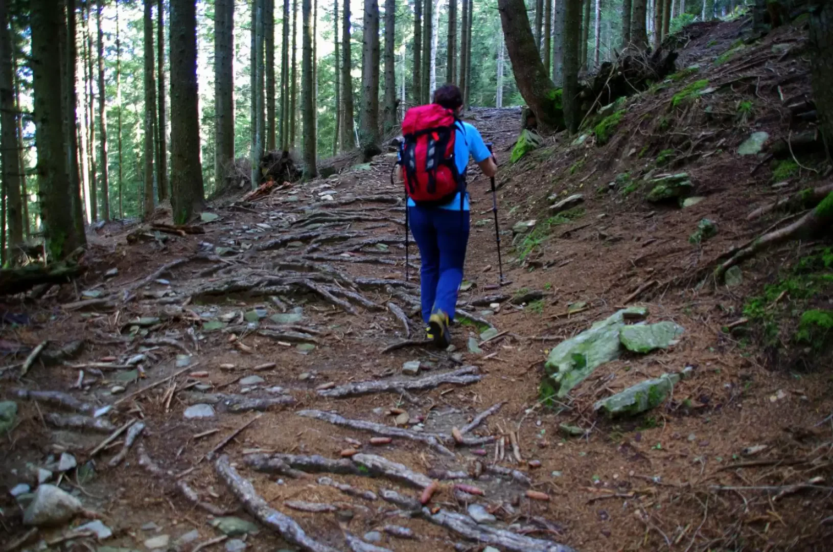
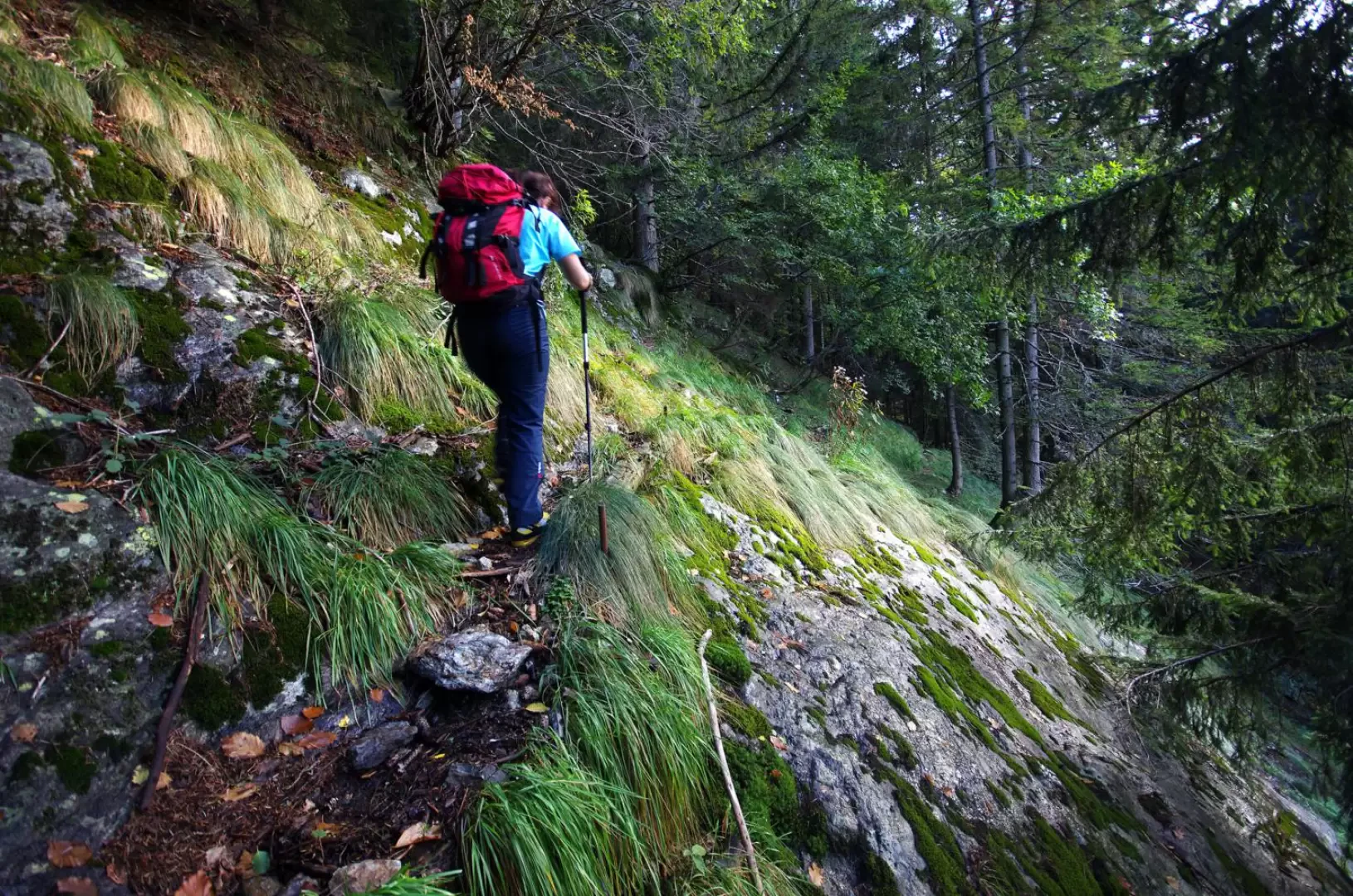
Interesting excursion to a bivouac - located in a renovated alpine hut - situated on a hump with unusual panoramic features. During the ascent (if one avoids following the forest track, when possible), one ascends the mountain along a "ögal", a sort of very steep mule track with a strongly concave section that - covered in ice - in winter became a chute for the felling of tree trunks felled at altitude; one reaches "maggenghi" that have now become agglomerations of holiday homes and mountain pastures that are still loaded. The return path, which descends into Val Lesina, although part of the GVO (Gran Via delle Orobie) is poorly signposted, difficult to identify in some places and must be followed with extreme caution due to the continuous exposure. The descent to Val Lesina is along a beautiful mule track and then on a forest track or along a 'ögal'. High probability of encountering deer and chamois.
Description
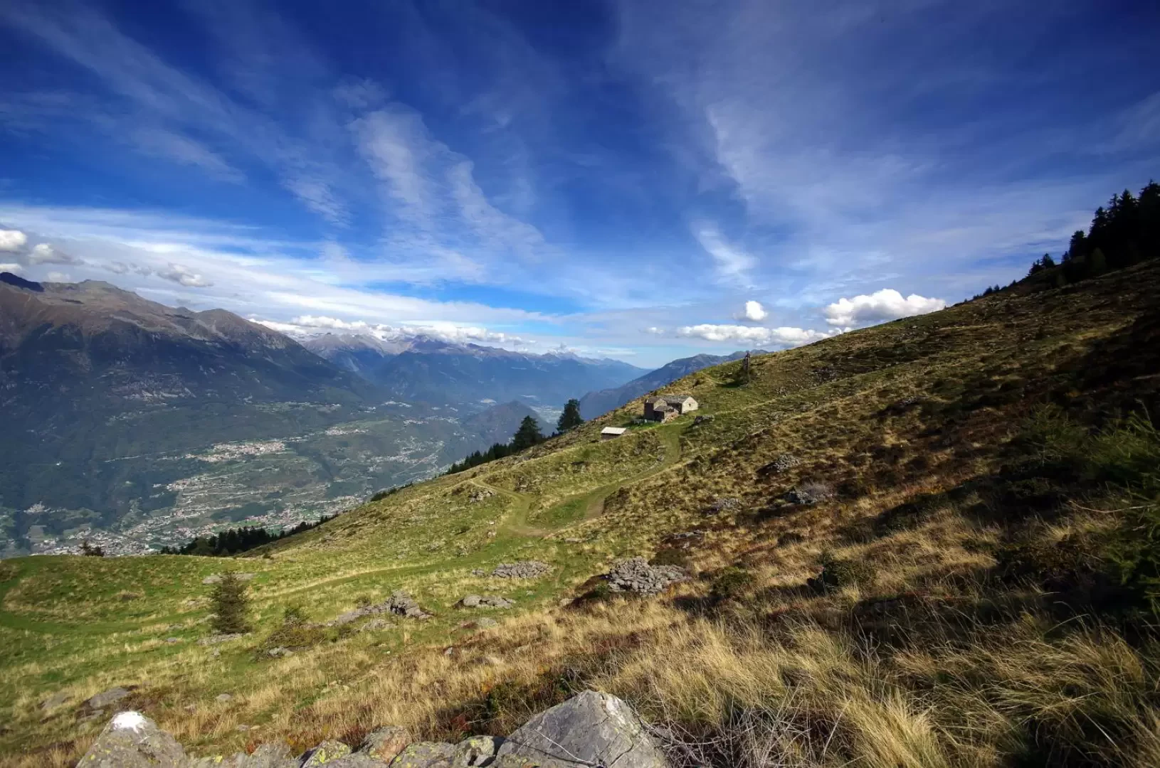
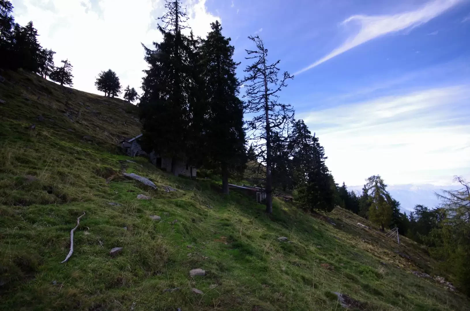
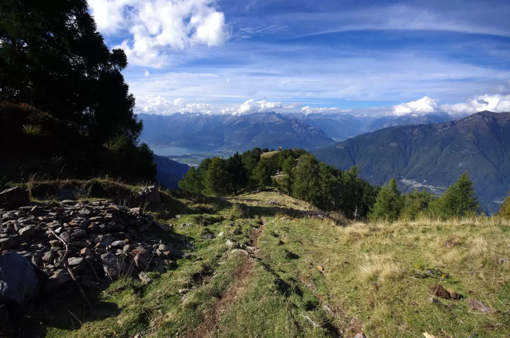
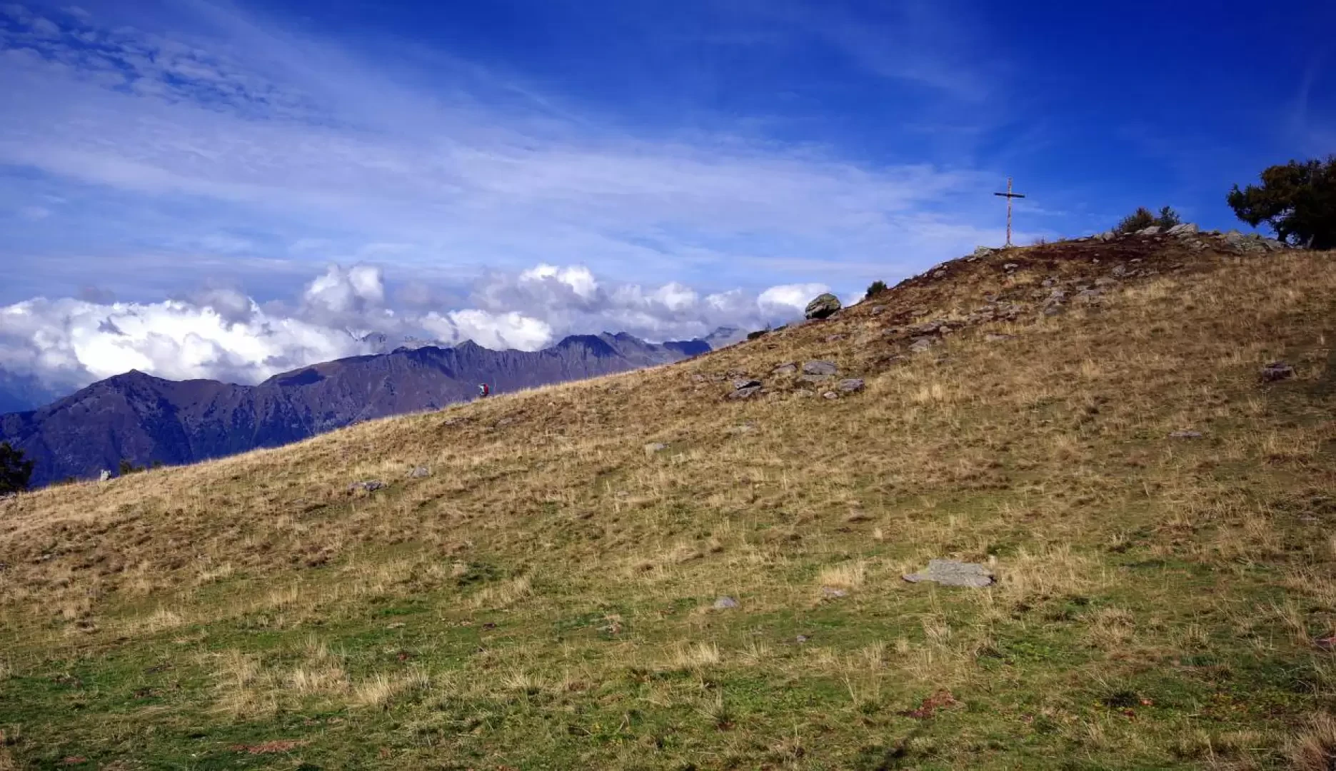
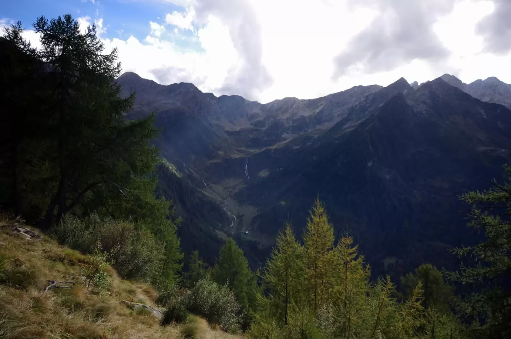
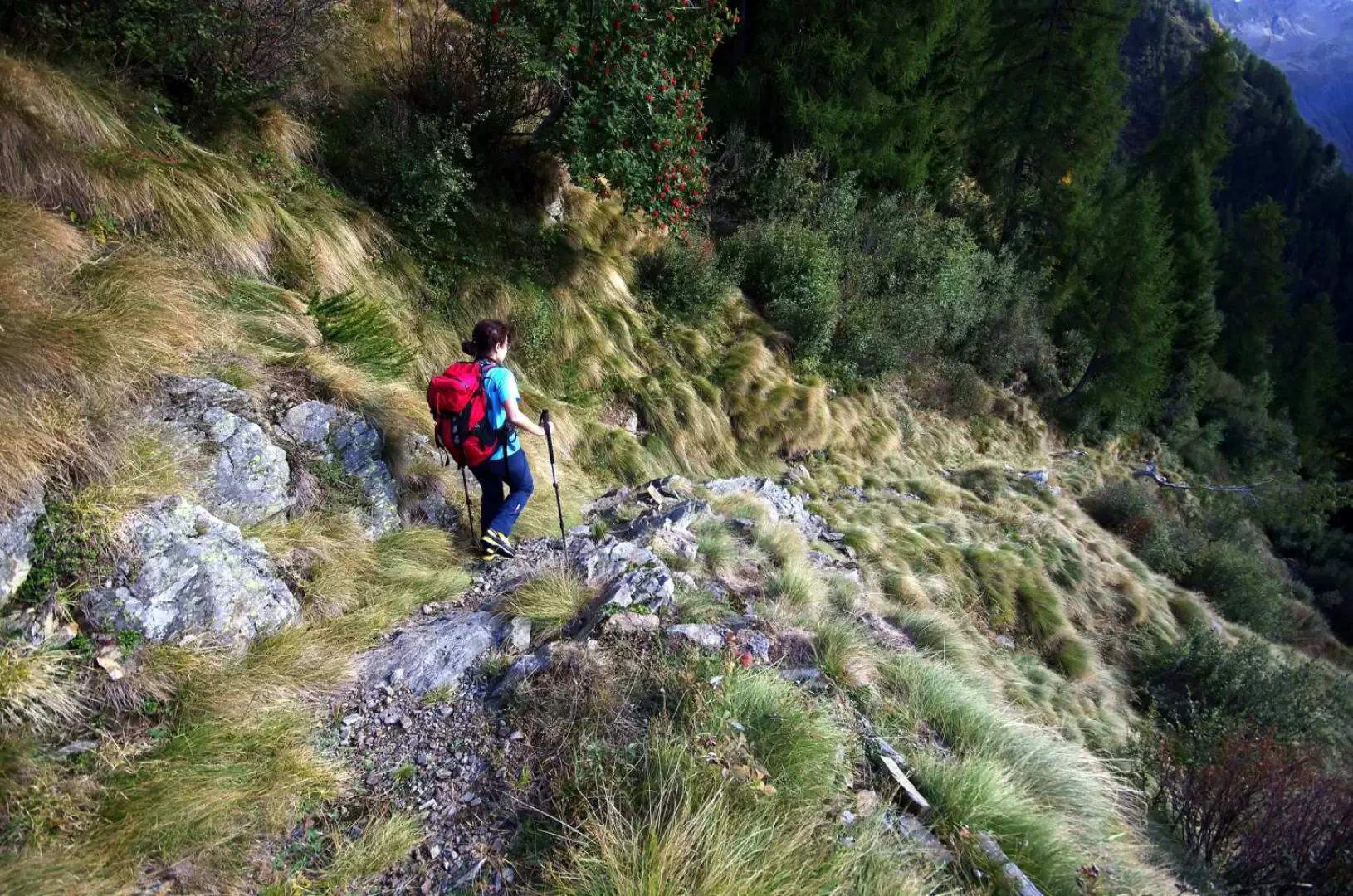
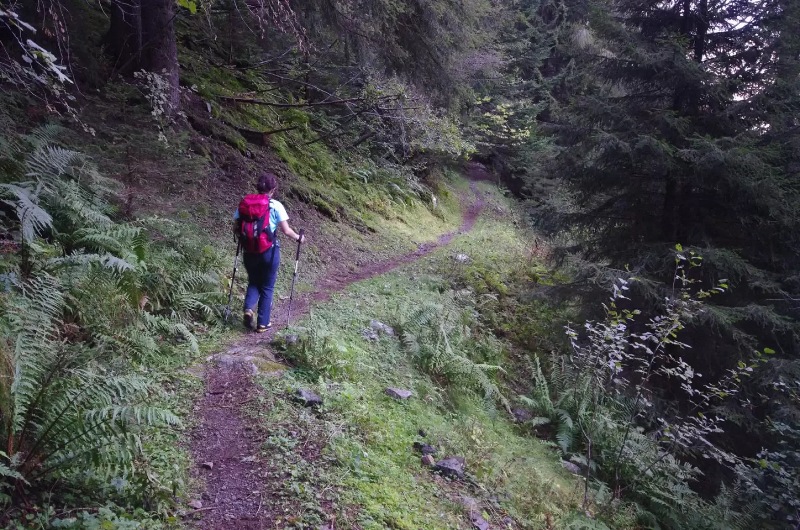
From the forecourt above Andalo 232m, continue along the forest road, which is forbidden to unauthorised persons; soon the possibility of choosing the first half of the ascent route presents itself: you can follow the track with its long traverses up to the Masonaccia 1191m, or arrive at the confluence (ascent 1, ascent 2, descent) of Q600m c. along an interesting ögal, very intact and well maintained. As soon as you come out of the maggengo, at the highest point bordering the forest, a beautiful mule track begins: follow it for a long time along the numerous hairpin bends, on a gently and steadily sloping path, 'paved' by the roots of the fir trees in the forest. Coming out of the forest, the track becomes flat and grassy in the vast clearing (from about 1100m to 1700m) of the Alpe Tagliata cheese factory 1573m. Near a signpost with numerous indications, a very steep little path begins, excavated by water run-off, which in a short time goes alongside the stables of the Alpe Piazza 1732m; just a few more steps and you reach the wide hump that divides the Valtellina from the eastern branch of the Val Lesina. We ascend it among the centuries-old larches and reach the splendid summit basin of Alpe Piazza 1844m, with a small lake and a small cross at the highest point. A small room with a kitchen and three cots is available in the casera building for emergency bivouac purposes. In order to find the path back, it is necessary to retrace the terminal ridge back to the point where it was reached on arriving from Alpe Tagliata: the scanty tracks in the grass begin at a drinking trough and lead to a long descending traverse towards the visible bottom of the Lesina valley. The route is very delicate, little frequented and often very exposed; the passages on rock - coinciding with the crossing of precipitous valleys crossed by streams - are always slippery. [There remain two short sections of handrail chains in superfluous positions and anchored to very dubious old bolts]. Moving carefully, the route is almost always identifiable without too much uncertainty; the only delicate situation is at the clearing of Dosso Paglieron 1633m: you must not reach the hut, but, near a monumental fir tree, turn left into the ground dislodged by goats and trace two yellow-painted signs. When you reach the bottom of the Val Lesina valley, cross the stream on a battered log bridge and in a few steps you reach the large buildings of the Casera Mezzana 1430m. From here, a paved mule track heads to a dense forest of fir trees, descends it with numerous regular hairpin bends and takes you back to the level of the torrent; flanked by several water containment weirs, you arrive at the Stavello bridge 850m, a beautiful stone arch, which finally leads to the eastern slope. The mule track widens into a cart track and, after a stretch partially carved into the rock overlooking the gorge, reaches the numerous dwellings of Alpe Revolido 883m. Continue along the track, which soon turns into an ögal to be followed without alternative until the confluence of Q 600m, highlighted during the ascent. You then descend to Andalo along one of the uphill alternatives.
Photo gallery
Comments (0)
Sign in to leave a comment