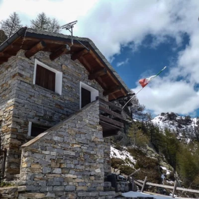
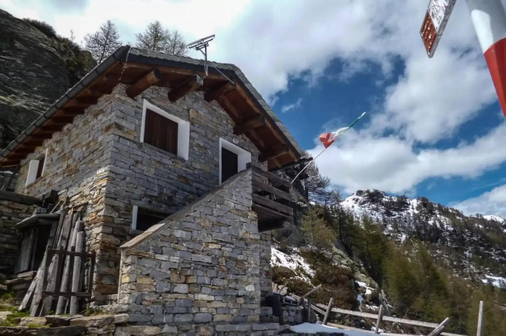
Alpe Manco bivouac, from San Pietro di Samòlaco
Access
From Milan to Novate Mezzola along State Road 36; shortly after the railway station take the subway leading to the provincial road 'Trivulzia' and continue as far as the hamlet of San Pietro di Samòlaco. Go up the road indicated by the arrow on the provincial road and, at a 'T' junction, turn left into Via Tonaia. Follow the same road uphill on the left without crossing the bridge over the Mengasca stream: after a few hundred metres, access is forbidden to unauthorised persons. There are a few parking spaces in an open space in front of a private crotto.
Introduction
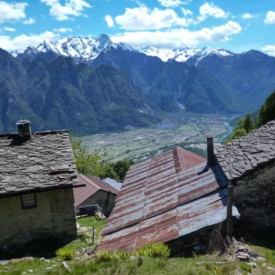
Visit to a little-known bivouac, set up by the municipality of Samolaco in a hut rebuilt from scratch in an otherwise ruined alpine pasture. We pass through very wild environments to reach a rocky terrace with a very panoramic view of the Chiavenna mountains and an unusual glimpse of the satellite peaks of Badile and Cengalo.
Description
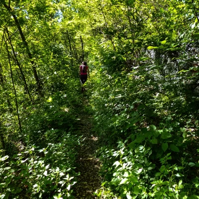
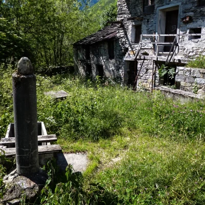
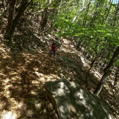
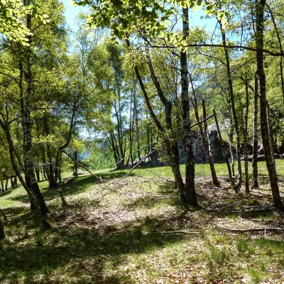
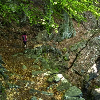
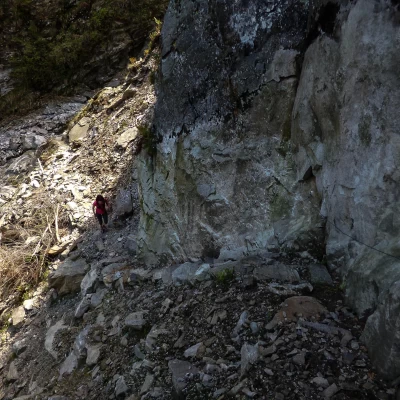
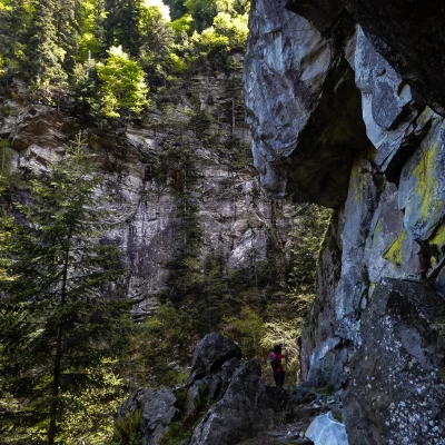
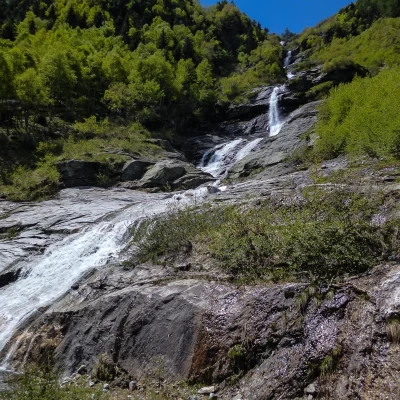
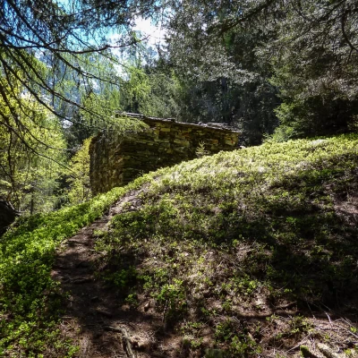
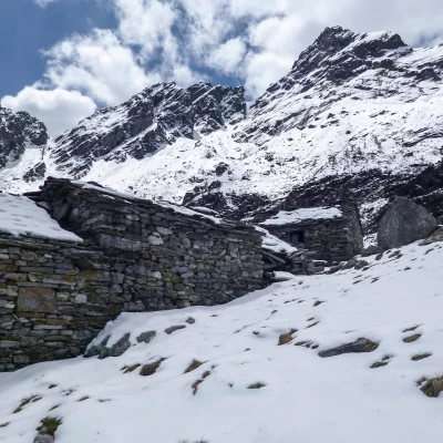
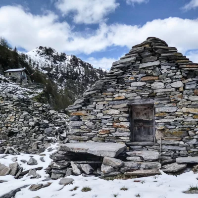
A few steps after the car park about 320m, the old mule track leading to the mountains (alpine pastures) comes off to the right of the road: after a few hairpin bends, you reach the few houses (and many ruins) of Monastero 414m. After crossing the houses, climb up to the forecourt of the previously abandoned road and - a little hidden - spot the sign indicating the direction to follow in the beech and chestnut woods above. Long, steadily ascending turns through the forest (leave out an obvious direction to the right) lead to the vast meadows of the Maggengo Santa Teresa 965m: the path keeps to the left of the huts and, after two small fords, climbs straight up to rejoin the forest. The regular ascent leads to an area with dry stone walls, which precede the wide clearing of Sambusina 1180m; from here the track begins a long up-and-down traverse that deepens into the furrow of a rocky gorge ("Val Selina"): it reaches the rocky bottom after a stepped descent that makes you lose about 80 metres in altitude. A ladder of stones assisted by a hand-rope leads back out of the gully: under high overhanging rock faces, a second traverse is gained that soon leads to fording the two branches of the Mengasca torrent (a beautiful waterfall in the thawing weeks). The ascent resumes in a beautiful larch forest and, having passed the Alpe Cascinola hut at 1407m, we gradually catch a glimpse through the trees of the silhouette of the peaks looming over the terminal cirque of the Mengasca valley. At an altitude of 1660m you reach the lower limit of the pastures of a large mountain pasture: ascending by sight among the grass and the many stones you arrive at the abandoned ruins of Alpe Manco (1728m); the last hut on the upper right, under a rock, houses the Bivacco 1750m approx.
Return along the outward route.
General Information
Trail signposting:
(red/white)
Type of route: a/r
Advised period: May, June, July, August, September, October, November
Objective hazard:falling rocks
Sun exposure:east
Exposed sections:short sections
