Bellagio
Access
From Milan to Erba along the Valassina road, then on to Canzo, Asso, Barni and Magreglio; after the Ghisallo Pass, the road descends towards Civenna and, between wooded bends and hairpin bends, we arrive at Perlo (a hamlet of Bellagio) where we laboriously search for a parking space.
Introduction
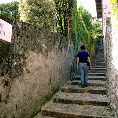
Hilly excursion that, always scenic, leads to the very famous and very crowded village of Bellagio: only the final destination is frequented, the paths and lanes are practically deserted despite their proximity as the crow flies. Obtaining a map from the Proloco can be very useful in untangling the sometimes somewhat labyrinthine pathways.
Description
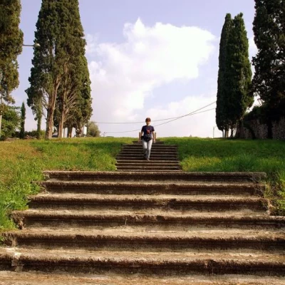
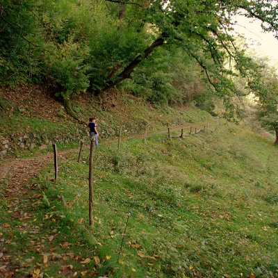
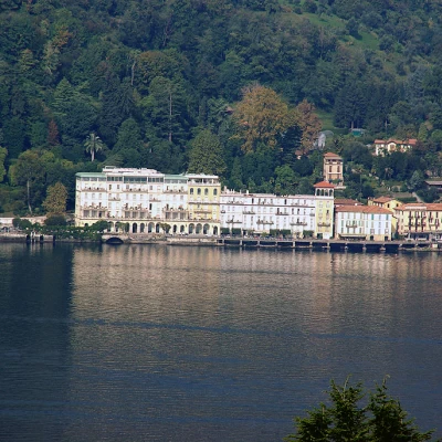
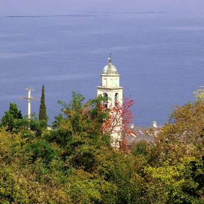
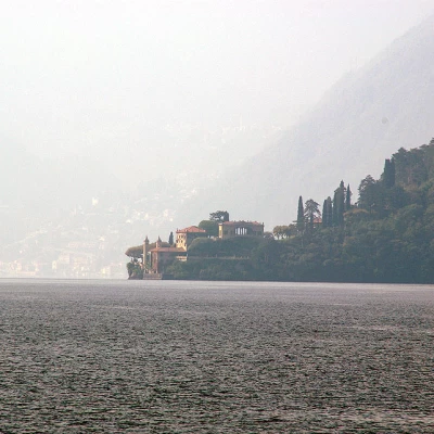
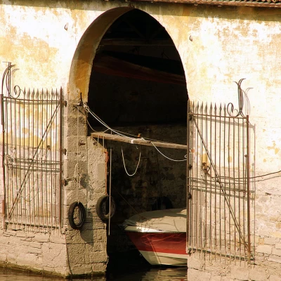
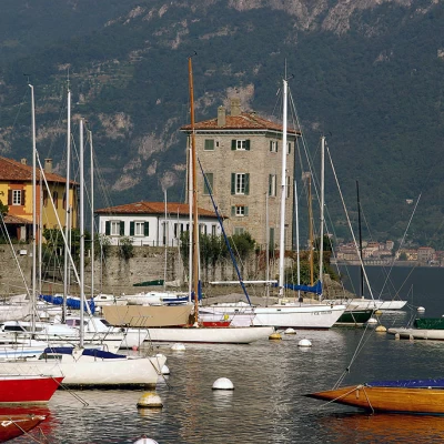
From Perlo's parish square, the route climbs briefly up the provincial road and immediately crosses the stream on a shady bridge, having the opportunity to observe pools, waterfalls and potholes partially tamed for use as ancient mills. The cobbled mule track descends gently through the woods in the direction of the Como branch of the Lario: Bellagio is already in view to the north, as we pass through meadows and nurseries of typical lake flora (azaleas, rhododendrons and oleanders). Arriving near the first houses, we cross provincial road 583 from Como, at Villa Crella; we take a cobbled road and, along Via al Crotto, arrive at Piazza S.Giovanni, right on the lake: from the pier we can admire Tremezzo, Cadenabbia and Punta del Balbianello on the opposite shore. Passing by Villa Trotti (former tropical water garden), you head to Piazza Miotti (Museum of Navigation Instruments) and arrive in Guggiate at Piazza Sant'Andrea (Fishing Cooperative). We follow the cobbled road closed between walls and olive trees that leads to the top of the Suira hill, and, at a fork in the road, descend again along Via Volta, until we meet the provincial road again near the Poldi-Pezzoli Family Mausoleum. In a very scenic way, we walk along the invitation avenue of Villa Giulia: it is an artificial landscape adaptation that joins the two branches of Lake Como with a perspective that closes - so to speak - on the Grigne; passing next to the Romanesque Santa Maria di Loppia we arrive on the beach where the typical Larian gondolas are moored. From the dock at Loppia, we walk along the park of Villa Melzi and cross the provincial road again to take Via Vitali, which we follow as far as the cobbled Via del Bello that climbs the Aureggio hill: from Piazza Redaelli, via del Montù we descend to Pescallo, on the Lecco branch of the Lario. The Cappuccini climb (a nearby convent) leads to the main avenue of Bellagio; passing by the Church of San Giacomo, amidst luxury shops and hotels crowded with foreigners, we head for the final end of the hike: Capo Spartivento, which lies at the summit of the Larian Triangle, in view of Valchiavenna and the border mountains of Mesolcina.
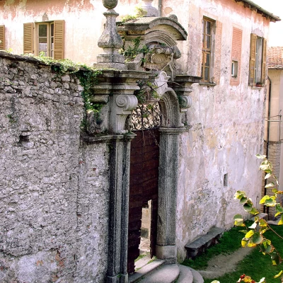
The return is broadly along the same lines as the outward journey, with the possibility of many small variations suitable for exploring the ancient historical nuclei: those that no normal tourist will ever be tempted to get to know.
External links
General Information
Way:
Trail signposts: -
Type of route: a/r
Advised period: January, February, March, April, May, June, July, August, September, October, November, December
Objective hazard:
Exposure to sunlight: north
