Bald Hills
Access
From Jasper continue in the direction of Edmonton; after a few kilometres you will find the road to Maligne Lake on the right. Cross the Athabasca River on a metal bridge and drive up the easy road to Maligne Lake. At the lake, continue for a short distance until you reach a large parking area near the picnic area.
.Introduction
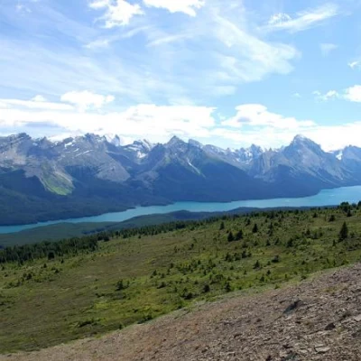
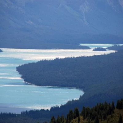
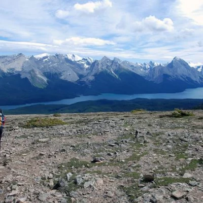
Maligne Lake is one of the largest lakes in the Rockies. The ascent to the Bald Hills allows one to fully appreciate its extensive development and the magnificent backdrop of peaks that envelop it.
Description
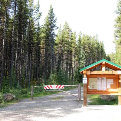
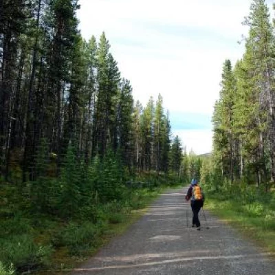
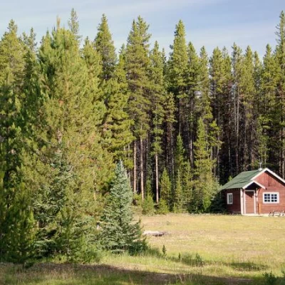
From the car park, head in the direction of a small newsstand with information on hiking in the area. Take a forest road that leads into the Lodgepole Pine (Pinus contorta) forest, which has been reborn after the 2003 fires. After a few minutes you come to a fork, to the left, for Moose Lake: ignore the path to the left and proceed straight ahead on the track, slightly uphill. The first part of the trail is slightly uphill and every now and then the forest allows a glimpse of the final destination. A small clearing with a small wooden hut is encountered on the right. Another small house is found on the right-hand side of the road and, shortly afterwards, the gradient increases. The path at this stage is a little monotonous, but the atmosphere of the forest and the constant possibility of running into animals make the route always enthralling.
After about 2.5km, you come to a marker (1906m, 0h50'): it is advisable to continue straight ahead along the track, the path that branches off to the left with signs for Bald Hill can be taken on the descent. The road flattens out and continues through woodland until you come to a fork (1944m, 1h00'): take the track to the left, ignoring the one that heads straight up Evelyn Creek to the junction for the Skyline Trail.
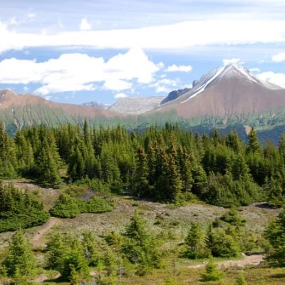
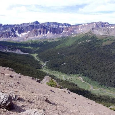
The trail now climbs again and slowly the woodland reveals the beautiful scenery of the Maligne valley, with superb views of Lorrain Lake below and the interesting Mount Dromore coastline. The track continues to bear left until it comes to a shelf where there is a lookout used in the past to check for fires in the area: this is where the road ends (2174m, 1h30').
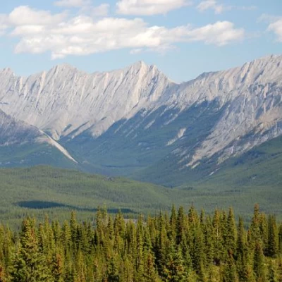
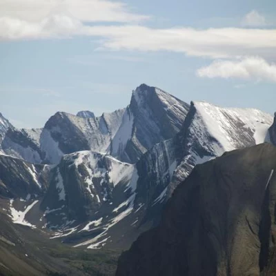
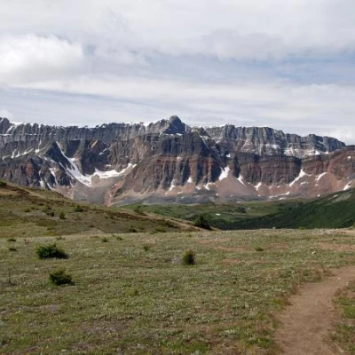
From this point you can already see part of Maligne Lake and, above all, the distinctive colours of the Opal Hills, the colourful peaks just in front of the Bald Hills and the bold shapes of the Queen Elizabeth Range peaks.
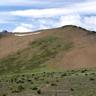
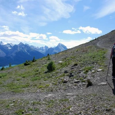
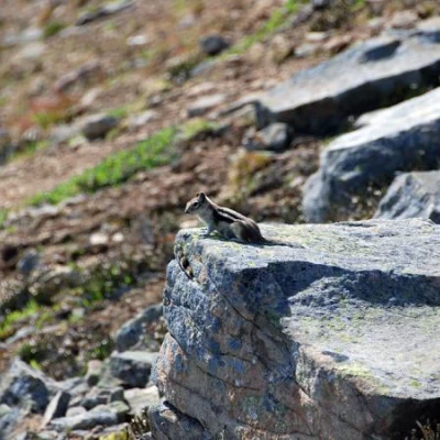
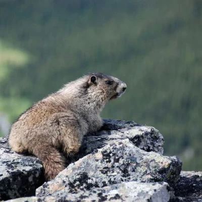
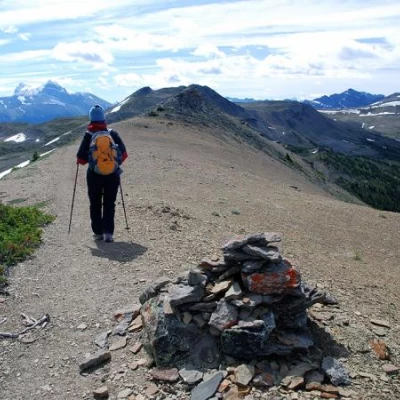
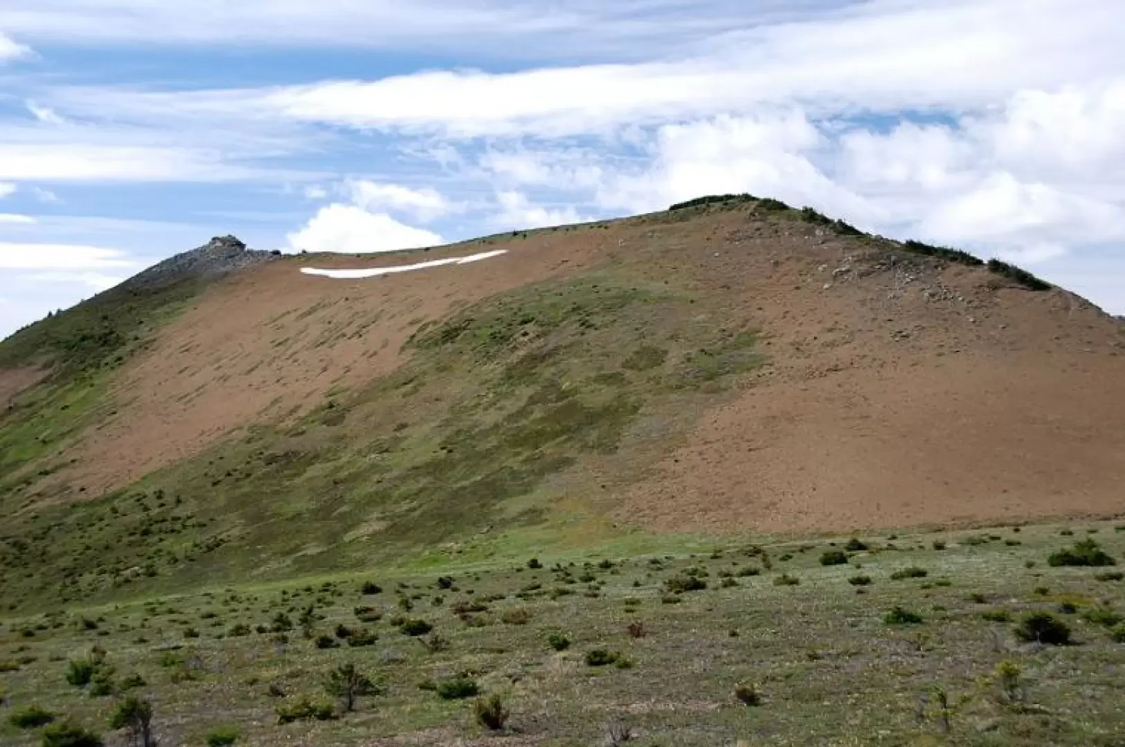
We now proceed on an easy and obvious path that crosses the last strip of tall vegetation and leads, almost level, to the foot of a debris pancake; we head towards the latter beginning the short ascent amidst a riot of Ground Squirrels (prairie squirrels) scampering across the bare ground. The climb reaches its steepest (though not excessive) right near the antecima (2308m, 2h00'). You now find yourself on the scenic esplanade of the antecima, proceeding along the path (always evident and equipped with excellent cairns) that leads to the foot of the Bald Hills ridge, on the right-hand side: here too there is no shortage of encounters, in this area it is easy to spot the marmot, the Hoary Marmot (Marmota caligata). The destination is now near; we ascend the ridge and briefly reach the summit of the Bald Hills (2346m, 2h30'): the view is hard to describe, Maligne Lake is below us like a silvery ribbon that cuts its way through the imposing peaks of the Queen Elizabeth Range.
The descent is along the same path as the outward journey until just before the lookout: here we meet the path (overlooked on the outward journey) that descends to the right (there is no signpost but it is very evident). You descend it, quickly entering the forest, until you again reach the track taken on the outward journey. Here turn right and descend it to the starting point (1h 30').
General Information
Trail:
Signposts:
Type of route:partially circular
Recommended period: July, August
Sun exposure:East
Objective hazard:area with wildlife (bears, cougars, etc)
Exposed Tracts:none
Useful Equipment:normal hiking gear
Water: -
Bibliographic References
- Kathy & Craig Copeland, Don't Waste Your Time in Canadian Rockies, Hikingcamping.com, 2004
- Brian Patton & Bart Robinson, Canadian Rockies Trail Guide, 2007, Summertought, Banff
- Jasper and Maligne Lake, 1:100000, Gem Trek Publishing
