Alpjerung
Introduction
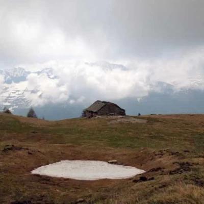
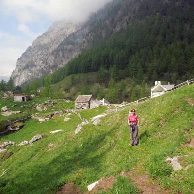
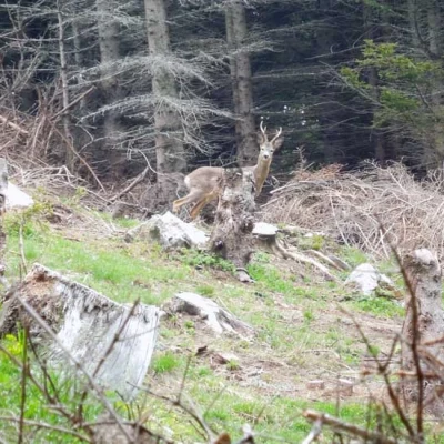
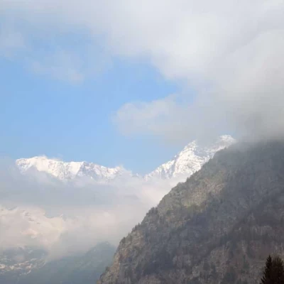
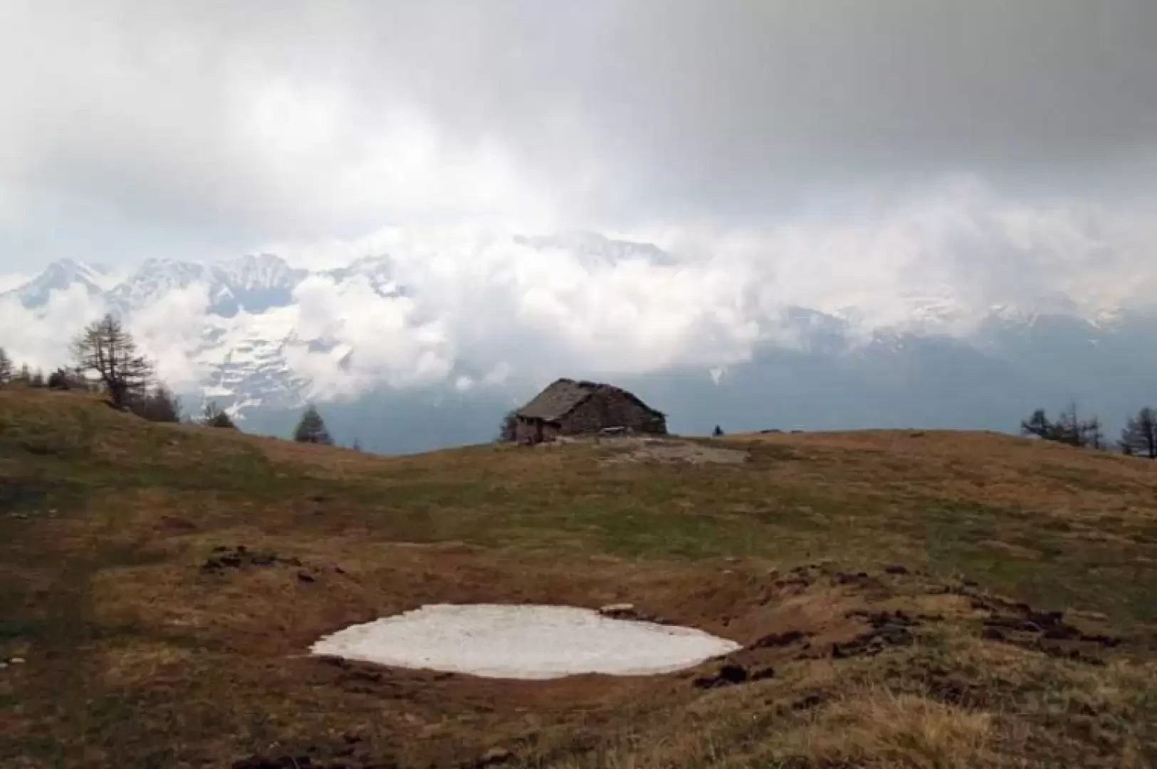
Alpjerung is a scenic knoll located just over the Simplon Swiss-Italian border and more precisely on the ridge that descends from the Punta Valgrande to the valley floor near Gondo; above it is a beautiful pastureland with a hut of the same name and, a few metres above, there is a wooden cross. The excursion takes place in the Alpjerwald: a valley with forests, alpine pastures and well-kept pastures; the itinerary, which is very scenic in its upper part, is a "tour" immersed in this nature where one can also see many examples of alpine fauna (marmots, fawns, ibexes). The panorama offers us the spectacle of the imposing north-eastern slopes of the Weissmies and Lagginhorn, with the valleys of the nature park of the same name on their slopes, and the border peaks of the Divedro and Bognanco valleys.
Description
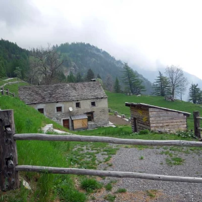
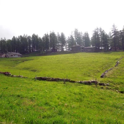
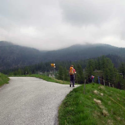
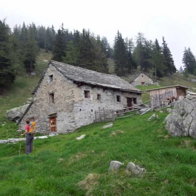
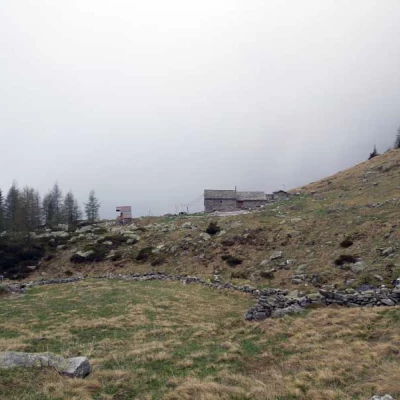
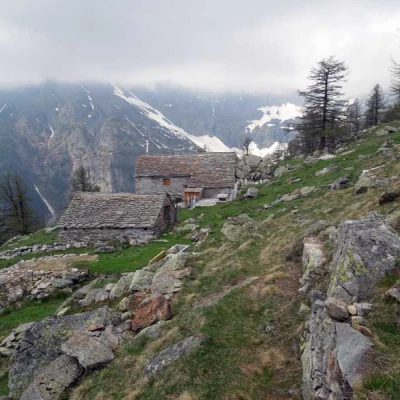
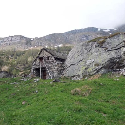
From the car park, cross the road and take the small asphalt road with the no-trespassing sign that rises a short distance to the right of the small barracks; immediately at the first hairpin bend, take a path, indicated by a visible red arrow on the concrete embankment, that climbs the steep wooded slope, cutting across a few hairpin bends. Once back on the road, continue to the next hairpin bend and from here return to the path, which crosses the farm track a few more times, passing by the Sistulmatta hut (1437 m) and then the next one (1532 m). After a few more hairpin bends, you reach the pastureland with the Biela huts (1592 m) located on the right and, having crossed it, you will find a few signposts at a crossroads; now turn right and descend as far as the stream, which you cross on a bridge, and then go back up to the Chemi pastureland (1587 m). Cross the stream and stay slightly to the right, entering a beautiful evergreen forest, where you pass a ruined hut and a fork in the path (1795 m), again keeping to the right, to come out into a more open space and reach the Piäneza huts (1871 m). Here, leave a path to the left that climbs directly up the slope and take the path to the right that heads into the forest, making a long, almost level traverse around a steep flank; when you reach a wide wooded rib, go up it with a steep section to reach the markers located near the Corwetsch alpine pasture (2029 m), which you will soon reach. Keeping to the right, you immediately pass another fork in the path and continue along the almost level track to the isolated Alpjerung hut, just above which, on the left, is the panoramic wooden cross (2092 m).
On the way back, pass through Corwetsch again and, having reached the post, continue along the traverse halfway up the slope, first reaching the Gisa huts (2044 m), where you ignore the path that descends to the left, and then the Erblatte hut (1970 m); here you turn sharply to the left, descending on grassy terrain to enter the forest again, where the somewhat steep path allows you to lose altitude quickly. When you are almost at the bottom of the valley, you come to a fork where you leave a path to the left to continue the descent that soon leads to the pastures below, where there are some huts (1655 m); when you reach the consortium road, go along it, passing alongside an artificial water barrier and, after crossing a bridge, go past the Stäg huts (1627 m) from where you soon reach the previous fork at an altitude of 1795 m and from here the starting point.
