Elafonissi Island, from Elafonissi Beach

Edited by:
Massimo Martini
Updated at: 27/07/2026
Access
Introduction
A circular route that follows the coastal perimeter of the islet of Elafonissi, in Crete, alternating between sandy beaches and a short stretch of inland terrain with no marked path. The route follows the southern coast of theisland along a succession of small, unspoilt beaches – with no set route – before climbing up towards Pelekanos, the hill overlooking the central part of the islet, and completing the loop along the northern coast.
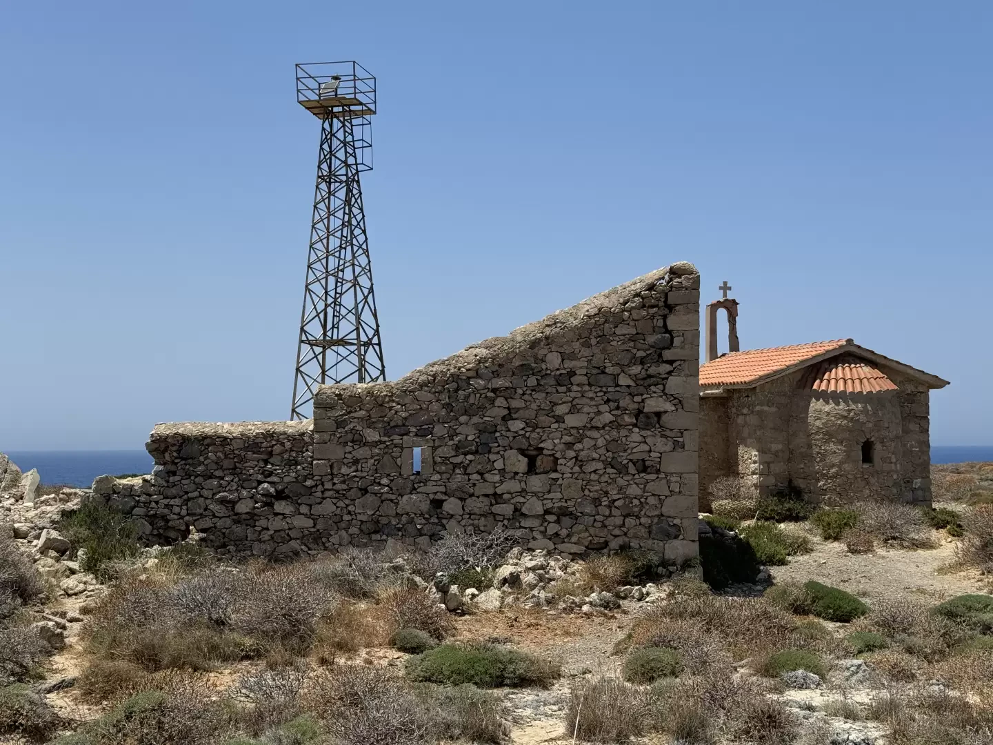
The islet forms part of the Natura 2000 site GR4340002 (Elafonissi and coastal marine area, south-western Crete), established to protect a dune system containing plant and animal species that are rare in Greece. Along the northern section of the return route, there are several remains of historical interest, marked on site by an information sign. From the summit of Pelekanos, there is a panoramic view of the entire perimeter of the islet and the channel separating it from the coast of Crete.
A short, predominantly flat route, classified as T2, which can be completed in under an hour. The lack of shade along the entire route is the main drawback, particularly during the middle of the day on the hottest days.
Description
0h00' 0.00km Set off from Elafonissi beach and walk along the island’s southern coast, past a succession of small, uncrowded beaches – there is no set route – until you reach the foot of the hill rising in the centre of the islet.
0h13' 1.26km (3.1mD+) (3.1mD-) Turn right and head northwards uphill, heading towards the summit of Pelekanos.
0h20' 1.70km (27.8mD+) (5.5mD-) Reach the summit of Pelekanos (13m), which offers a panoramic view of the entire perimeter of the islet and the channel separating it from the coast of Crete. Descend and continue along the island’s northern coast, which also has no fixed route. Along this stretch, you’ll come across some remains of historical interest, marked by an information sign for the Natura 2000 site, before completing the loop at Elafonissi beach, the starting point 0h43' 3.71km (38.7 m elevation gain) (40.9 m elevation loss).
Comments (0)
Sign in to leave a comment